Golden Valley
Valley in Yorkshire
England
Golden Valley

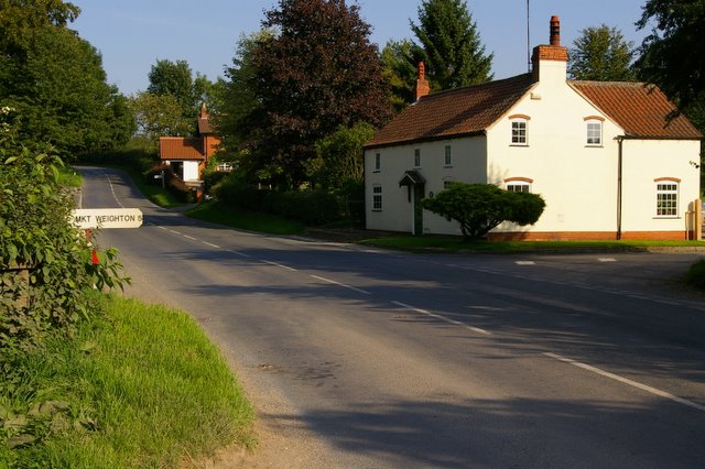
Golden Valley is a small village located in the picturesque Yorkshire Dales of England. Situated in the heart of Yorkshire, it is nestled within a valley surrounded by rolling hills, lush green meadows, and babbling brooks. The village is known for its stunning natural beauty, attracting tourists and visitors from all over the world.
The landscape of Golden Valley is dominated by the River Wharfe, which flows through the village, providing a tranquil and serene atmosphere. The river is a popular spot for fishing and boating enthusiasts, offering opportunities to catch brown trout and grayling. Additionally, the surrounding hills and valleys provide ample opportunities for hiking, cycling, and exploring the countryside.
The village itself boasts a charming and quaint atmosphere, with traditional stone buildings and a close-knit community. It is home to a handful of local businesses, including a small grocery store, a quaint tea room, and a village pub that serves hearty Yorkshire meals. The residents of Golden Valley are known for their warm hospitality and friendly nature, making visitors feel welcome and at home.
Nearby attractions include historic landmarks such as Bolton Abbey, a medieval monastery ruins, and the stunning limestone formations of Malham Cove. The village is also within easy reach of larger towns such as Skipton and Ilkley, where visitors can find a wider range of amenities, shops, and restaurants.
Overall, Golden Valley offers a peaceful and idyllic escape from the hustle and bustle of city life, with its natural beauty, friendly community, and access to the stunning Yorkshire Dales.
If you have any feedback on the listing, please let us know in the comments section below.
Golden Valley Images
Images are sourced within 2km of 53.953961/-0.67720643 or Grid Reference SE8651. Thanks to Geograph Open Source API. All images are credited.


Golden Valley is located at Grid Ref: SE8651 (Lat: 53.953961, Lng: -0.67720643)
Division: East Riding
Unitary Authority: East Riding of Yorkshire
Police Authority: Humberside
What 3 Words
///pave.proof.blushed. Near Millington, East Yorkshire
Nearby Locations
Related Wikis

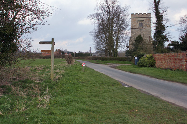
St James' Church, Warter
St James’ Church lies in Warter, an estate village in England, in the Yorkshire Wolds, part of the East Riding of Yorkshire. == Origins and history... ==
Warter
Warter is a small village and civil parish in the East Riding of Yorkshire, England. It is situated approximately 4 miles (6.4 km) east of Pocklington...

Warter Priory
Warter Priory is an 11,000 acres (4,500 ha) country estate in the East Riding of Yorkshire Yorkshire Wolds, centred 1 mile (2 km) south-west of the village...
Bigger Trees Near Warter
Bigger Trees Near Warter or ou Peinture en Plein Air pour l'age Post-Photographique is a large landscape painting by British artist David Hockney. Measuring...
Nunburnholme Priory
Nunburnholme Priory was a priory of Benedictine nuns in the East Riding of Yorkshire, England. It was founded during the reign of Henry II of England by...

Huggate
Huggate is a village and civil parish in the East Riding of Yorkshire, England. It is situated approximately 13 miles (21 km) north-west of Beverley town...

Millington, East Riding of Yorkshire
Millington is a small village and civil parish in the East Riding of Yorkshire, England. It is situated approximately 2 miles (3.2 km) north-east of Pocklington...
Nunburnholme
Nunburnholme is a village and civil parish in the East Riding of Yorkshire, England. It is approximately 3 miles (5 km) east of the market town of Pocklington...
Nearby Amenities
Located within 500m of 53.953961,-0.67720643Have you been to Golden Valley?
Leave your review of Golden Valley below (or comments, questions and feedback).