Warter Wold
Downs, Moorland in Yorkshire
England
Warter Wold

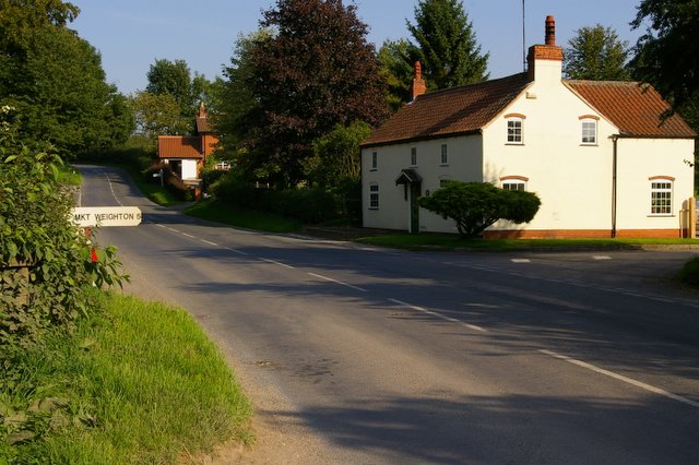
Warter Wold, located in Yorkshire, England, is a picturesque area known for its stunning natural beauty and diverse landscapes. Situated amidst the rolling hills of the Yorkshire Wolds, this charming countryside destination offers visitors a unique blend of downs and moorland.
The downs of Warter Wold feature expansive grasslands, gently undulating hills, and breathtaking vistas that stretch as far as the eye can see. These open spaces are dotted with patches of vibrant wildflowers, adding a splash of color to the already idyllic scenery. The downs are perfect for leisurely walks and picnics, allowing visitors to immerse themselves in the tranquility of the surroundings.
In contrast, the moorland of Warter Wold offers a more rugged and wild landscape. Here, heather-covered moors dominate the terrain, creating a dramatic and mystical atmosphere. The moorland is crisscrossed by walking paths that lead adventurers through its enchanting beauty, revealing hidden valleys, cascading streams, and ancient stone formations along the way.
Warter Wold is abundant in wildlife, including a variety of bird species such as skylarks, lapwings, and curlews, making it a haven for birdwatching enthusiasts. The area also boasts a rich history, with ancient archaeological sites and historic landmarks scattered throughout, providing visitors with insight into the region's past.
Whether one is seeking a peaceful retreat amidst nature's splendor or an opportunity to explore the great outdoors, Warter Wold offers a captivating experience. With its charming downs, mystical moorland, and rich wildlife, this Yorkshire gem is a must-visit destination for nature lovers and history enthusiasts alike.
If you have any feedback on the listing, please let us know in the comments section below.
Warter Wold Images
Images are sourced within 2km of 53.948959/-0.67675522 or Grid Reference SE8651. Thanks to Geograph Open Source API. All images are credited.


Warter Wold is located at Grid Ref: SE8651 (Lat: 53.948959, Lng: -0.67675522)
Division: East Riding
Unitary Authority: East Riding of Yorkshire
Police Authority: Humberside
What 3 Words
///curly.orchids.forgot. Near Millington, East Yorkshire
Nearby Locations
Related Wikis

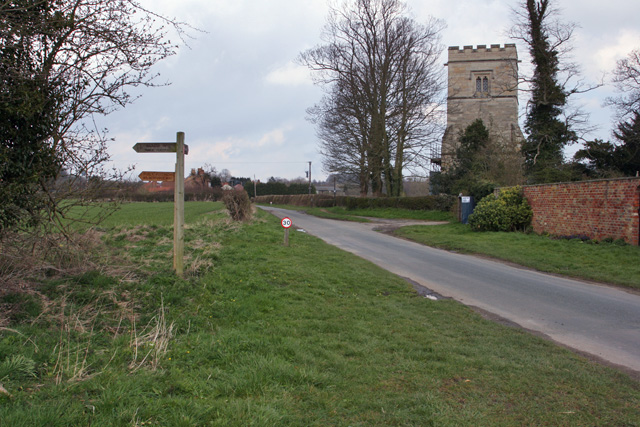
St James' Church, Warter
St James’ Church lies in Warter, an estate village in England, in the Yorkshire Wolds, part of the East Riding of Yorkshire. == Origins and history... ==
Warter
Warter is a small village and civil parish in the East Riding of Yorkshire, England. It is situated approximately 4 miles (6.4 km) east of Pocklington...

Warter Priory
Warter Priory is an 11,000 acres (4,500 ha) country estate in the East Riding of Yorkshire Yorkshire Wolds, centred 1 mile (2 km) south-west of the village...
Bigger Trees Near Warter
Bigger Trees Near Warter or ou Peinture en Plein Air pour l'age Post-Photographique is a large landscape painting by British artist David Hockney. Measuring...
Nunburnholme Priory
Nunburnholme Priory was a priory of Benedictine nuns in the East Riding of Yorkshire, England. It was founded during the reign of Henry II of England by...
Nunburnholme
Nunburnholme is a village and civil parish in the East Riding of Yorkshire, England. It is approximately 3 miles (5 km) east of the market town of Pocklington...

Millington, East Riding of Yorkshire
Millington is a small village and civil parish in the East Riding of Yorkshire, England. It is situated approximately 2 miles (3.2 km) north-east of Pocklington...
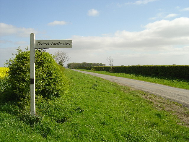
Kiplingcotes Derby
Kiplingcotes Derby (also spelt Kipling Cotes), run at Kiplingcotes in the East Riding of Yorkshire, is widely accepted to be the oldest annual horse race...
Nearby Amenities
Located within 500m of 53.948959,-0.67675522Have you been to Warter Wold?
Leave your review of Warter Wold below (or comments, questions and feedback).