Bury Field
Downs, Moorland in Buckinghamshire
England
Bury Field
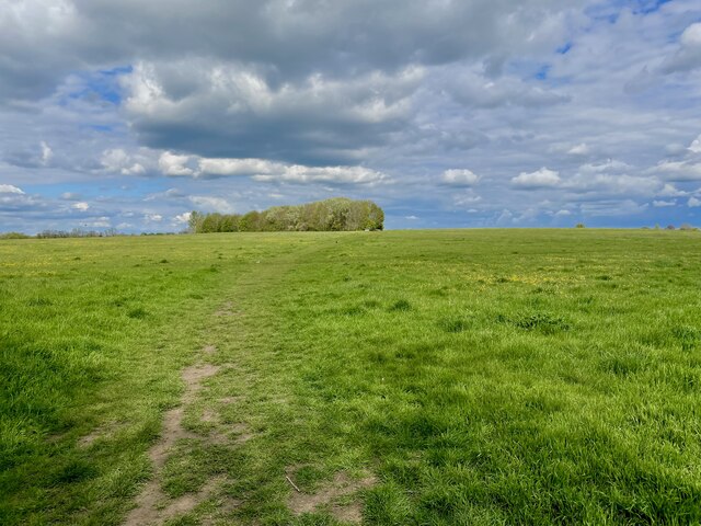
Bury Field is a vast expanse of natural beauty located in Buckinghamshire, England. Spanning over acres of land, it is situated in the heart of the Chiltern Hills, offering breathtaking views and a tranquil atmosphere. This area is a combination of downs and moorland, making it a unique landscape in the region.
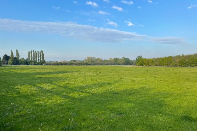
The field is characterized by its rolling hills, lush green meadows, and scattered patches of heather and gorse. The downs, with their gentle slopes and short grass, provide a perfect habitat for various species of wildflowers and insects. During the spring and summer months, the field transforms into a vibrant tapestry of colors, with blooming flowers such as harebells, cowslips, and buttercups.
The moorland areas of Bury Field add to its diversity, featuring expanses of heather and bracken. This habitat provides a haven for wildlife, including a variety of bird species such as skylarks, meadow pipits, and stonechats. The moorland also attracts butterflies and other insects, contributing to the field's rich biodiversity.
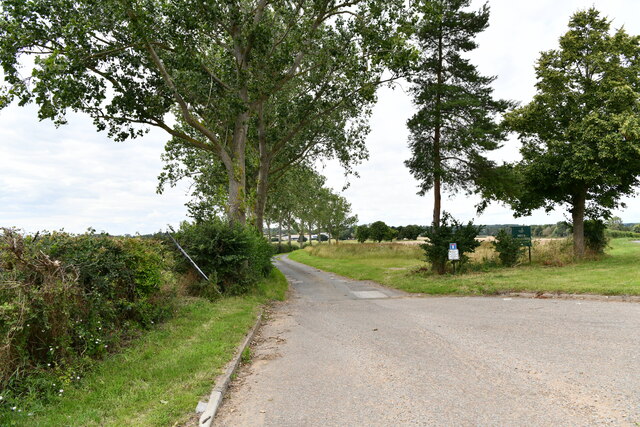
Bury Field is a popular destination for outdoor enthusiasts, offering numerous walking trails and paths. Visitors can enjoy leisurely strolls, picnics, or even engage in activities like birdwatching and photography. The field is notably peaceful, providing a serene escape from the hustle and bustle of everyday life.
Managed by local conservation groups, Bury Field is diligently protected and maintained to preserve its natural beauty. It serves as an important site for ecological research and education and remains a cherished natural gem in Buckinghamshire.
If you have any feedback on the listing, please let us know in the comments section below.
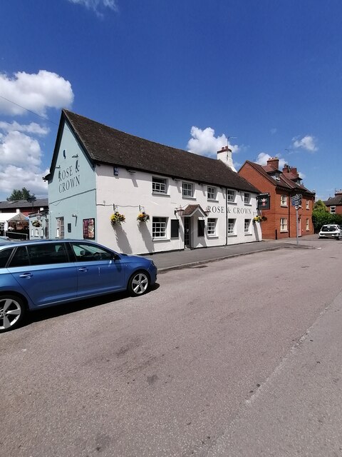
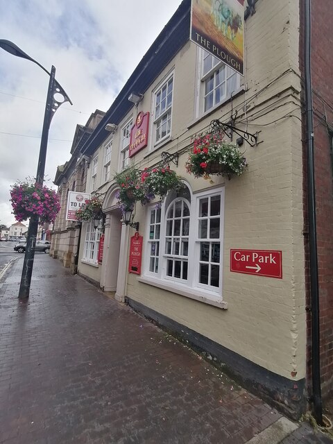
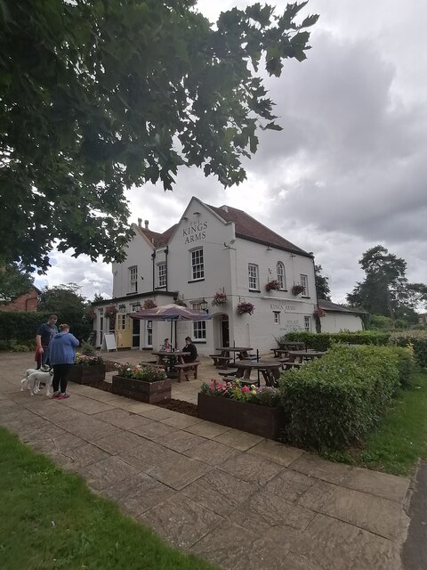
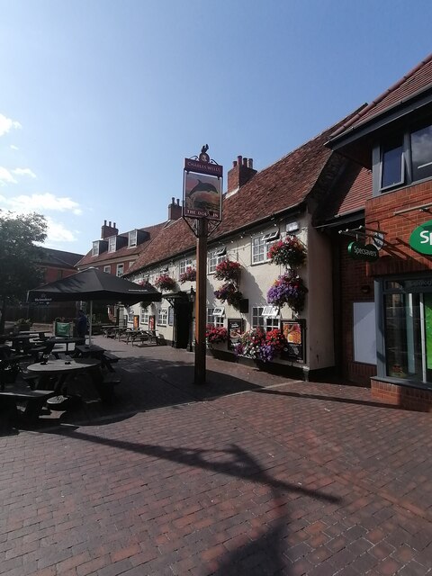
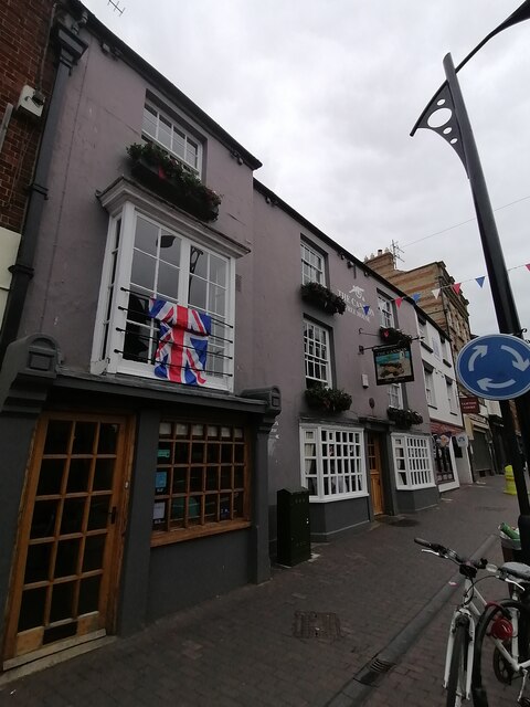
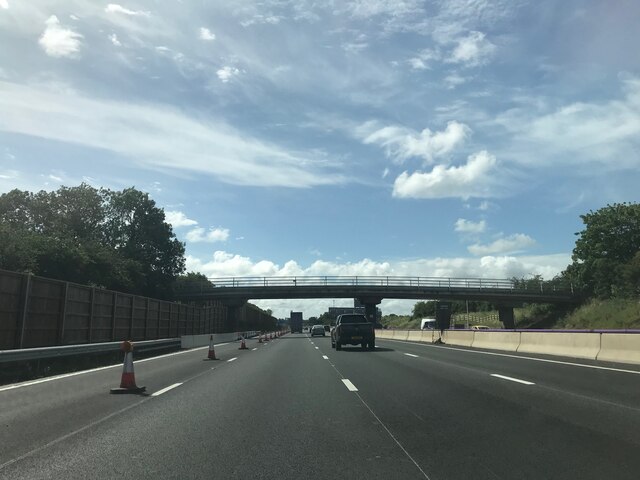
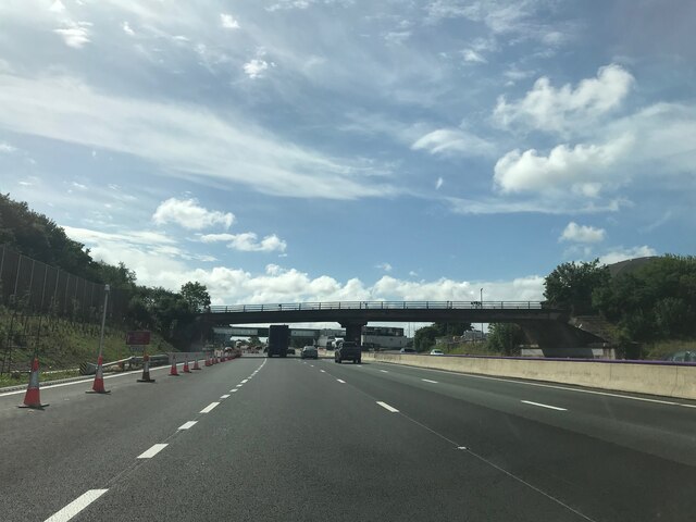
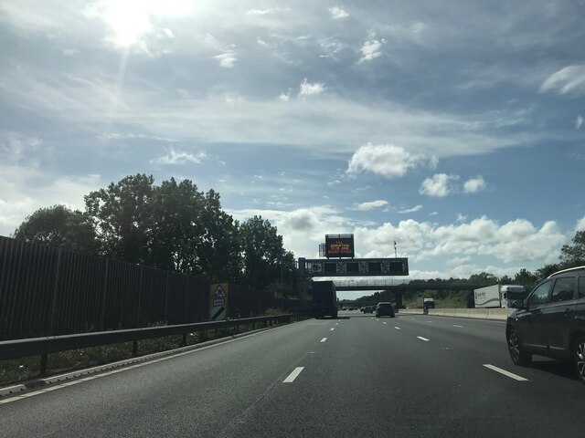
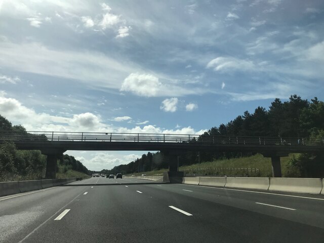
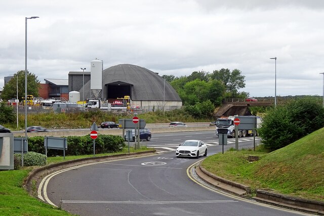
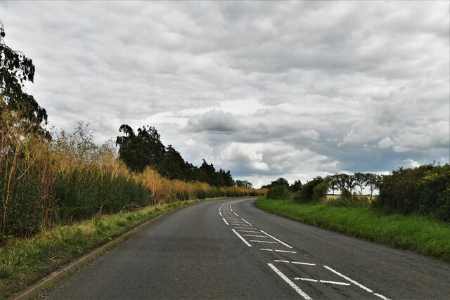
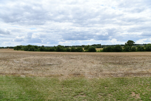
Bury Field Images
Images are sourced within 2km of 52.090758/-0.73232753 or Grid Reference SP8644. Thanks to Geograph Open Source API. All images are credited.


Bury Field is located at Grid Ref: SP8644 (Lat: 52.090758, Lng: -0.73232753)
Unitary Authority: Milton Keynes
Police Authority: Thames Valley
What 3 Words
///hound.remarking.starred. Near Newport Pagnell, Buckinghamshire
Nearby Locations
Related Wikis
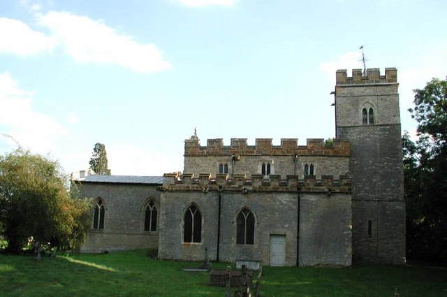
All Saints Church, Lathbury
All Saints' Church is a 12th-century parish church in Lathbury in the City of Milton Keynes, Buckinghamshire, England. It was designated a Grade I listed...
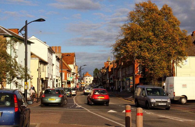
Newport Pagnell
Newport Pagnell is a town and civil parish in the City of Milton Keynes, Buckinghamshire, England. The Office for National Statistics records Newport...
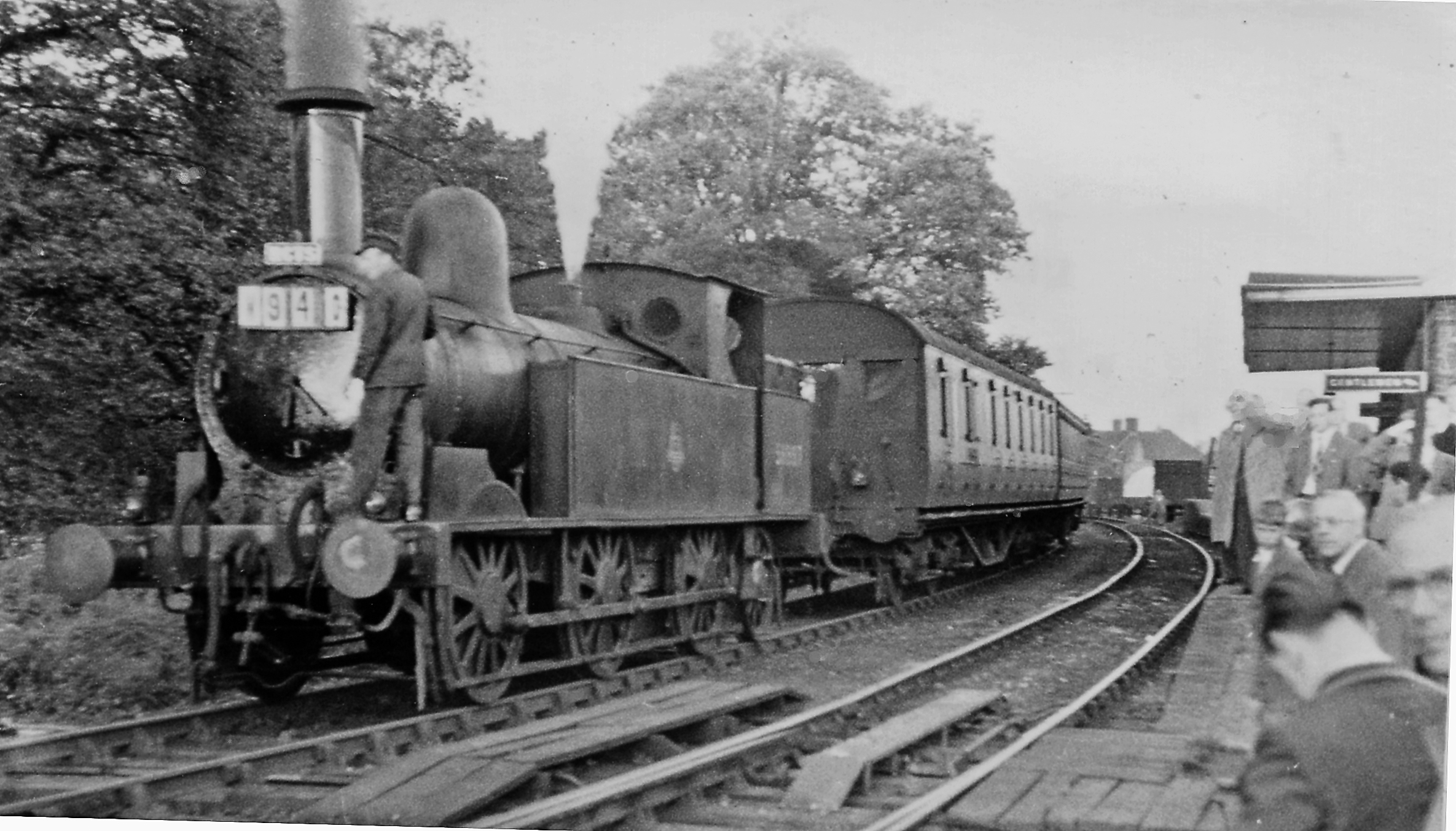
Newport Pagnell railway station
Newport Pagnell railway station was a railway station that served Newport Pagnell, Buckinghamshire, on the Wolverton–Newport Pagnell line. Opened in 1867...

Wolverton Urban District
Wolverton Urban District was a local government district in Buckinghamshire, England, from 1920 to 1974, covering the town of Wolverton and its environs...
Newport Pagnell Urban District
Newport Pagnell Urban District was a local government district in the administrative county of Buckinghamshire, England, from 1897 to 1974. == Origins... ==
Newport Pagnell Rural District
Newport Pagnell was a rural district in the administrative county of Buckinghamshire, England, from 1894 to 1974, covering an area in the north-east of...

Tickford Bridge
Tickford Bridge, over the River Ouzel (or Lovat) in Newport Pagnell, Buckinghamshire, England, was built in 1810. It is one of the last (21 still remaining...
Ousedale School
Ousedale School, is an academy based in Newport Pagnell and Olney, in the City of Milton Keynes, Buckinghamshire, England. The school opened in 1963 to...
Nearby Amenities
Located within 500m of 52.090758,-0.73232753Have you been to Bury Field?
Leave your review of Bury Field below (or comments, questions and feedback).