Cobdale
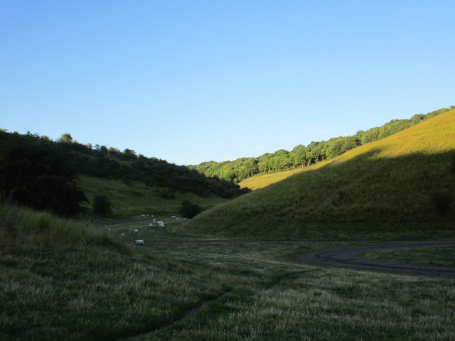
Downs, Moorland in Yorkshire
England
Cobdale
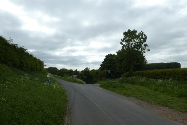
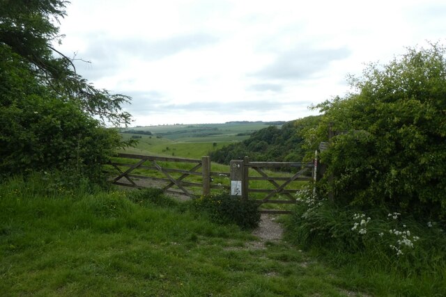
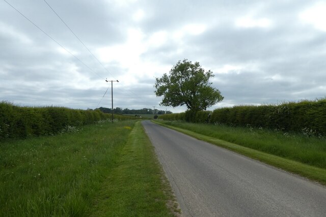
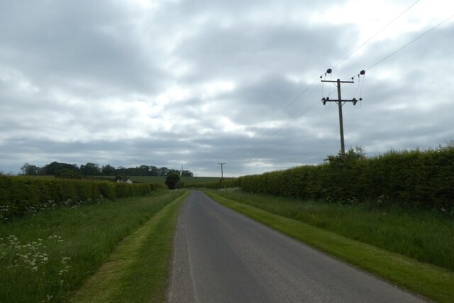
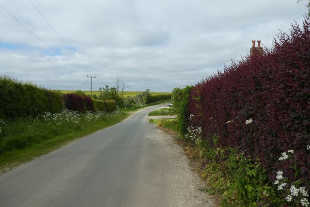
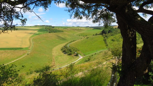
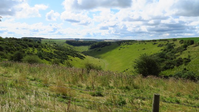
Cobdale is a picturesque village located in the Yorkshire region of England. Situated amidst the stunning landscape of the Yorkshire Downs and Moorland, it offers residents and visitors alike a captivating blend of natural beauty and rural charm.
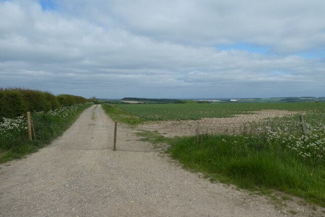
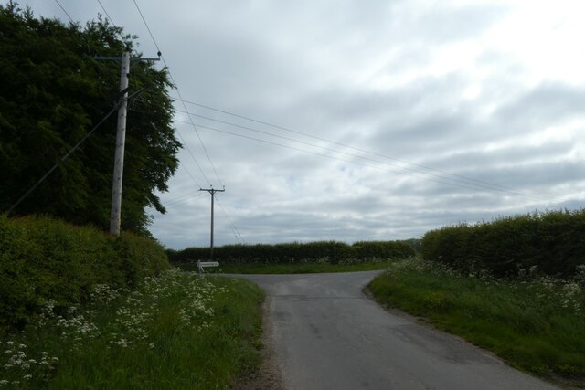
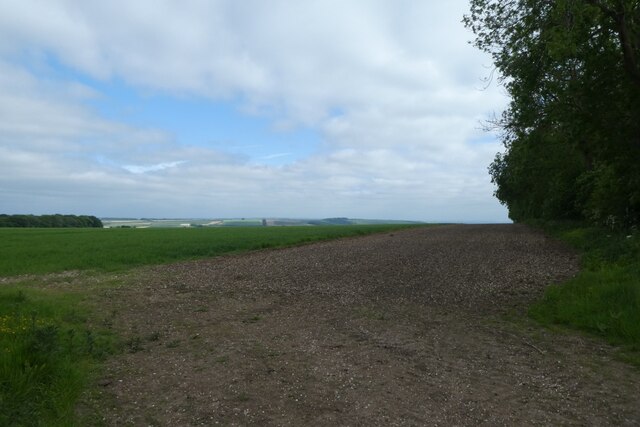
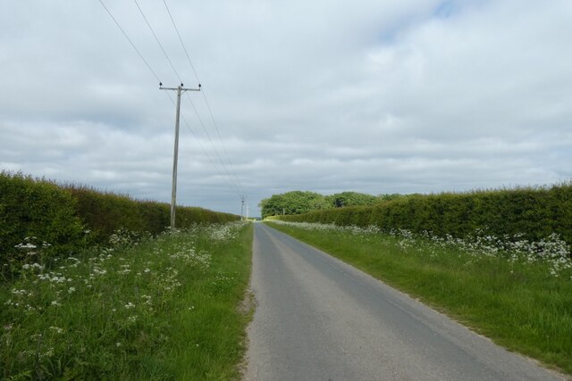
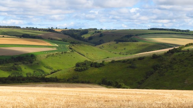
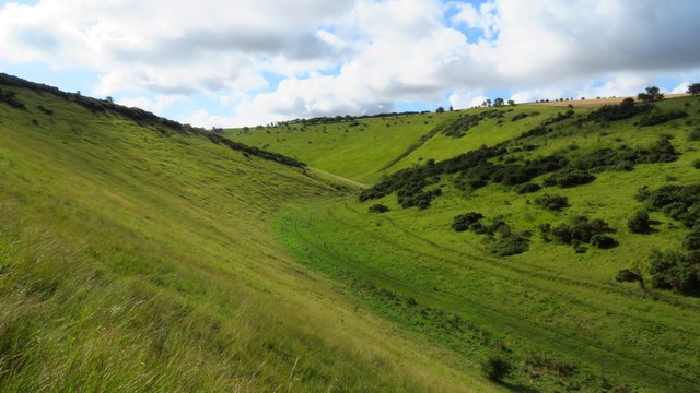
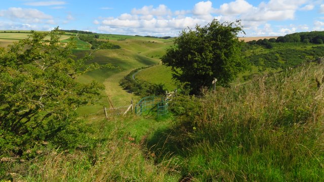
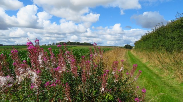
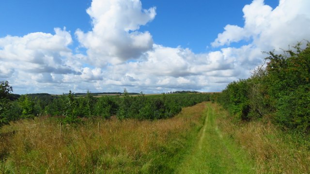
The village is characterized by its rolling hills, lush green meadows, and vast stretches of moorland, making it a haven for nature enthusiasts and outdoor lovers. The Yorkshire Downs, with their sweeping vistas and tranquil atmosphere, provide ample opportunities for activities such as hiking, horseback riding, and birdwatching.
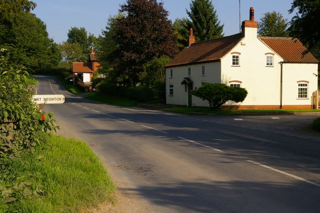
Cobdale itself is a quintessential English village, with its quaint cottages, cobbled streets, and traditional pubs. The locals are known for their warm hospitality, and visitors will find a sense of community that is both welcoming and inviting.
The village is also home to several historical landmarks, including a medieval church that dates back to the 12th century. Its striking architecture and intricate stained glass windows are a testament to the rich history and heritage of the area.
Cobdale is well-connected to nearby towns and cities, with excellent transport links making it easily accessible. Despite its rural location, the village boasts a range of amenities, including shops, cafes, and schools, ensuring that residents have everything they need close at hand.
In summary, Cobdale is a hidden gem nestled in the heart of the Yorkshire Downs and Moorland. With its breathtaking scenery, friendly community, and historical charm, it is a place that captures the essence of rural England.
If you have any feedback on the listing, please let us know in the comments section below.
Cobdale Images
Images are sourced within 2km of 53.968071/-0.68851339 or Grid Reference SE8653. Thanks to Geograph Open Source API. All images are credited.

Cobdale is located at Grid Ref: SE8653 (Lat: 53.968071, Lng: -0.68851339)
Division: East Riding
Unitary Authority: East Riding of Yorkshire
Police Authority: Humberside
What 3 Words
///flushes.spring.configure. Near Millington, East Yorkshire
Nearby Locations
Related Wikis

Huggate
Huggate is a village and civil parish in the East Riding of Yorkshire, England. It is situated approximately 13 miles (21 km) north-west of Beverley town...

St James' Church, Warter
St James’ Church lies in Warter, an estate village in England, in the Yorkshire Wolds, part of the East Riding of Yorkshire. == Origins and history... ==
Warter
Warter is a small village and civil parish in the East Riding of Yorkshire, England. It is situated approximately 4 miles (6.4 km) east of Pocklington...

Millington, East Riding of Yorkshire
Millington is a small village and civil parish in the East Riding of Yorkshire, England. It is situated approximately 2 miles (3.2 km) north-east of Pocklington...

Warter Priory
Warter Priory is an 11,000 acres (4,500 ha) country estate in the East Riding of Yorkshire Yorkshire Wolds, centred 1 mile (2 km) south-west of the village...
Beckhead Plantation
Beckhead Plantation is a Site of Special Scientific Interest (SSSI) and nature reserve in the East Riding of Yorkshire, England. It is located close to...
Bigger Trees Near Warter
Bigger Trees Near Warter or ou Peinture en Plein Air pour l'age Post-Photographique is a large landscape painting by British artist David Hockney. Measuring...
Nunburnholme Priory
Nunburnholme Priory was a priory of Benedictine nuns in the East Riding of Yorkshire, England. It was founded during the reign of Henry II of England by...
Nearby Amenities
Located within 500m of 53.968071,-0.68851339Have you been to Cobdale?
Leave your review of Cobdale below (or comments, questions and feedback).