Claypole Fen

Downs, Moorland in Lincolnshire South Kesteven

England

Claypole Fen

Stubble field and Stanger's Plantation
Stubble field and Stanger's Plantation Credit: Jonathan Thacker

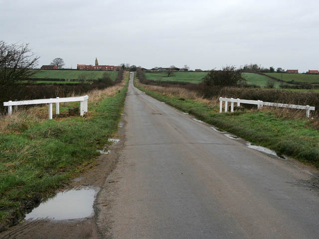
Claypole Fen is a picturesque area located in Lincolnshire, England. This fenland is characterized by its diverse landscape, featuring downs and moorland.

The downs in Claypole Fen are rolling hills covered with lush green grass and scattered with wildflowers. The undulating terrain offers breathtaking views of the surrounding countryside and is a haven for nature enthusiasts. Visitors can enjoy leisurely walks or hikes along the well-maintained trails that wind through the downs, allowing them to fully immerse themselves in the tranquility of the area.

In contrast, the moorland of Claypole Fen showcases a different aspect of the landscape. Here, visitors will find vast expanses of heather-covered terrain, punctuated by scattered pools and small, meandering streams. The moorland is home to a variety of wildlife, including birds, rabbits, and even the occasional deer. It provides a unique opportunity for birdwatchers to spot rare and migratory species in their natural habitat.

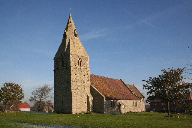
Claypole Fen is also known for its rich history, with evidence of human habitation dating back thousands of years. Archaeological finds in the area include ancient burial mounds, pottery fragments, and tools, providing fascinating insights into the lives of past civilizations.

Overall, Claypole Fen in Lincolnshire is a captivating destination that offers a diverse range of landscapes, from rolling downs to breathtaking moorland. With its abundant wildlife, scenic trails, and historical significance, it is a must-visit location for nature lovers and history enthusiasts alike.

If you have any feedback on the listing, please let us know in the comments section below.
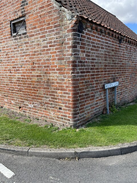
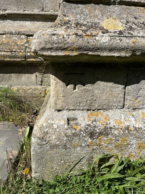
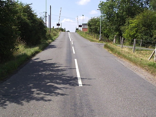
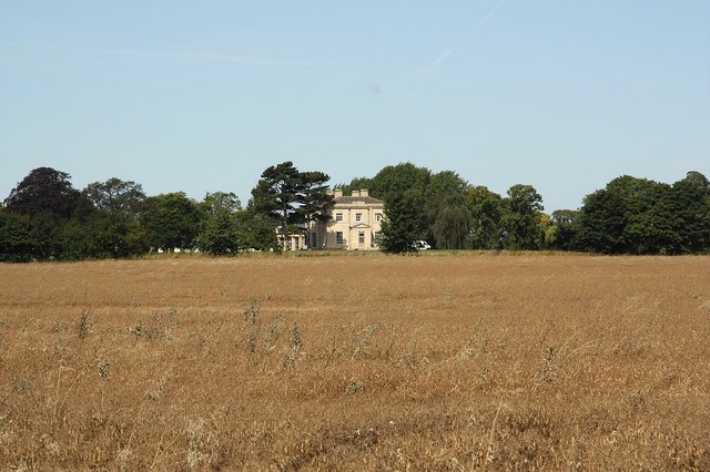
Claypole Fen Images

Images are sourced within 2km of 53.038635/-0.71565083 or Grid Reference SK8649. Thanks to Geograph Open Source API. All images are credited.

Stubble field and Stanger's Plantation
The Side House, Claypole Coffee shop attached to Clayole Village Hall.
The Side House, Claypole
Coffee shop attached to Clayole Village Hall.
Stubble field off Barnby Lane
Claypole, Barnby Lane, Cut Mark Benchmark on the corner of Barnby Lane and Welfen Lane in Claypole, Lincolnshire
Claypole, Barnby Lane, Cut Mark
Benchmark on the corner of Barnby Lane and Welfen Lane in Claypole, Lincolnshire
Claypole, St Peter's Church, Cut Mark Benchmark on St Peter's Church, Claypole, Lincolnshire
Claypole, St Peter's Church, Cut Mark
Benchmark on St Peter's Church, Claypole, Lincolnshire
Church of St Peter Grade I listed.

The church dates from circa 1300, and is built from ashlar with the lead roofs. The church is a cruciform plan with a west tower and spire, nave with north and south aisles, south porch, transepts, chancel and north vestry.
The tower is of four stages, the two lower of circa 1300, the two upper of circa 1500. On the east side of the nave the original steeply pitched roofline is visible. The tower has ornate pinnacles and projecting gargoyles, the octagonal spire is 15th century with lucarnes, Crockets and finial.

The nave has clerestory windows of three lights. There are moulded eaves with corbel heads above,and a frieze of shields, battlements and ornate pinnacles.
The north aisle has an early 14th century west window and on the roof is a small bell turret,the north transept has early 14th century window of three lights. 

The chancel is 15th century and was restored in the 19th C. It has two large windows on both north and south sides each of three lights. There are hood moulds and grotesque animal label stops.There is a large pointed east window of five lights with perpendicular tracery.
The original roofline of the chancel is visible on the east end of the nave. 
The south transept was probably remodelled in the 15th century from a detached lady Chapel built circa 1275. The west side of the transept has 14th century windows with head label stops.
The porch is 14th century and has 15th century ornamentation, it has projecting gargoyles and ornate pinnacles. It contains stone benches and a corbel that once supported a roof, one is dated 1631.
The 14th century west door has foliated capitals with elaborate finials.

The nave has three bays, with piers from circa 1300.
The south wall of the south transept has three 13th century sedilia and two aumbries. The chancel arch is from the 14th century and has caryatid figures. There is a 14th century screen which was restored in the 19th century. 
There is a 14th century hexagonal font with ornate Gables and pinnacles.
The church contains various small 18th and 19th-century monuments.

The church has recently undergone much restoration work including work to the spire, tower, bells, roof, windows and a new boiler system.
Church of St Peter
Grade I listed. The church dates from circa 1300, and is built from ashlar with the lead roofs. The church is a cruciform plan with a west tower and spire, nave with north and south aisles, south porch, transepts, chancel and north vestry. The tower is of four stages, the two lower of circa 1300, the two upper of circa 1500. On the east side of the nave the original steeply pitched roofline is visible. The tower has ornate pinnacles and projecting gargoyles, the octagonal spire is 15th century with lucarnes, Crockets and finial. The nave has clerestory windows of three lights. There are moulded eaves with corbel heads above,and a frieze of shields, battlements and ornate pinnacles. The north aisle has an early 14th century west window and on the roof is a small bell turret,the north transept has early 14th century window of three lights. The chancel is 15th century and was restored in the 19th C. It has two large windows on both north and south sides each of three lights. There are hood moulds and grotesque animal label stops.There is a large pointed east window of five lights with perpendicular tracery. The original roofline of the chancel is visible on the east end of the nave. The south transept was probably remodelled in the 15th century from a detached lady Chapel built circa 1275. The west side of the transept has 14th century windows with head label stops. The porch is 14th century and has 15th century ornamentation, it has projecting gargoyles and ornate pinnacles. It contains stone benches and a corbel that once supported a roof, one is dated 1631. The 14th century west door has foliated capitals with elaborate finials. The nave has three bays, with piers from circa 1300. The south wall of the south transept has three 13th century sedilia and two aumbries. The chancel arch is from the 14th century and has caryatid figures. There is a 14th century screen which was restored in the 19th century. There is a 14th century hexagonal font with ornate Gables and pinnacles. The church contains various small 18th and 19th-century monuments. The church has recently undergone much restoration work including work to the spire, tower, bells, roof, windows and a new boiler system.
Hedge and field
Hedge and field
Saint Martins Church, Stubton The present Anglican parish church is dedicated to St. Martin and dates back to at least the 15th Century.
Saint Martins Church, Stubton
The present Anglican parish church is dedicated to St. Martin and dates back to at least the 15th Century.
St.Martin's church, Stubton, Lincs.
Saint Peter's Church, Claypole
East Coast Mainline, Claypole. Looking South along the East coast mainline from Oster Lane crossing. Claypole station used to be sited approx 200m from this point.
East Coast Mainline, Claypole.
Looking South along the East coast mainline from Oster Lane crossing. Claypole station used to be sited approx 200m from this point.
Stubber Hill Plantation, Stubton.
Claypole Across oil seed rape in full flower
Claypole
Across oil seed rape in full flower
High Level Crossing The east coast mainline crosses this village road in Claypole.  The former railway station was just to the left (south) of the crossing.
High Level Crossing
The east coast mainline crosses this village road in Claypole. The former railway station was just to the left (south) of the crossing.
Tidy Chapel This former chapel in Claypole appears to have recently been restored.
Tidy Chapel
This former chapel in Claypole appears to have recently been restored.
Footpath to Claypole Track from Stubton to Claypole
Footpath to Claypole
Track from Stubton to Claypole
Footpath to Stubton Gorse
St.Peter's church Splendid gothic church with work from the 13th, 14th and 15th centuries
St.Peter's church
Splendid gothic church with work from the 13th, 14th and 15th centuries
Show me another place!

Claypole Fen is located at Grid Ref: SK8649 (Lat: 53.038635, Lng: -0.71565083)

Administrative County: Lincolnshire

District: South Kesteven

Police Authority: Lincolnshire

What 3 Words

///flock.dumpling.partly. Near Claypole, Lincolnshire

Nearby Locations

Claypole Fen

Related Wikis

Claypole railway station

Claypole railway station was a station in Claypole, Lincolnshire that was in operation from 1852 to 1957. == History == The station was opened by the Great...

Claypole, Lincolnshire

Claypole is a village and civil parish in the South Kesteven district of Lincolnshire, England. The population of the civil parish at the 2011 census was...

Stubton

Stubton is a small village and civil parish in the South Kesteven district of Lincolnshire, England. The population of the civil parish (including Fenton...

Fenton, South Kesteven

Fenton is a village in the South Kesteven district of Lincolnshire, England. It is situated 14 miles (23 km) south-west from the city and county town of...

All Saints' Church, Barnby in the Willows

All Saints' Church, Barnby in the Willows, is a Grade I listed parish church in the Church of England in Barnby in the Willows. == History == The church...

Barnby in the Willows

Barnby in the Willows is a village and civil parish in the Newark and Sherwood district of Nottinghamshire, England, just east of Newark-on-Trent. According...

Westborough and Dry Doddington

Westborough and Dry Doddington is a civil parish in the north-west of South Kesteven in the county of Lincolnshire. The population of the civil parish...

Dry Doddington

Dry Doddington is a small village in the civil parish of Westborough and Dry Doddington, in the north-west of the South Kesteven district of Lincolnshire...

Nearby Amenities

Located within 500m of 53.038635,-0.71565083
Claypole Fen
Place: locality
Source: Bing
Lat/Long: 53.0386998/-0.7143203
The data included in this document is from www.openstreetmap.org. The data is made available under ODbL.

Have you been to Claypole Fen?

Leave your review of Claypole Fen below (or comments, questions and feedback).