The Plain
Downs, Moorland in Yorkshire Ryedale
England
The Plain

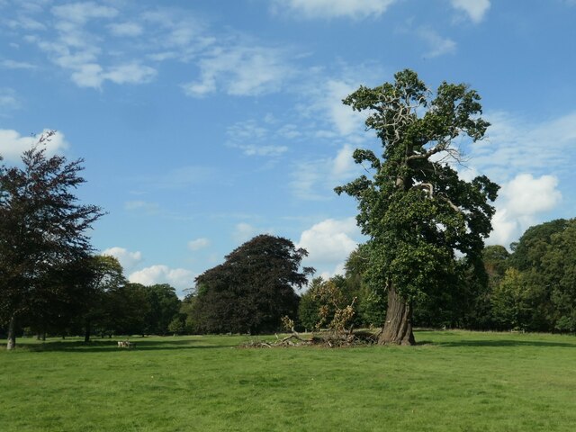
The Plain, Yorkshire, also known as the Yorkshire Downs or Moorland, is a region located in the county of Yorkshire, England. Spanning over a vast area, it is characterized by its unique landscape and natural beauty.
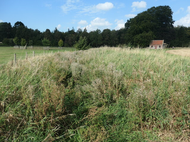
The Plain is predominantly made up of rolling hills, with an average elevation of around 200 to 400 meters above sea level. These hills are covered in lush green grasslands and heather moorland, giving the area a picturesque and serene ambiance. The region is also dotted with several rivers, streams, and reservoirs, adding to its scenic charm.
Home to a rich variety of flora and fauna, the Yorkshire Downs boasts an abundance of wildlife, including species such as red grouse, curlews, and lapwings. The moorland is also a haven for birdwatchers, who flock to the area to catch glimpses of rare and migratory bird species.
The Plain’s landscape is steeped in history, with evidence of human habitation dating back thousands of years. Ancient burial mounds, stone circles, and Roman roads can be found scattered throughout the region, providing insights into its past.
The Yorkshire Downs also offer a range of outdoor activities for visitors to enjoy. From hiking and cycling along the numerous trails to horseback riding and birdwatching, the Plain provides ample opportunities for exploration and adventure.
Overall, the Plain, Yorkshire is a captivating region that showcases the natural beauty and rich history of Yorkshire. Its rolling hills, moorland, and abundant wildlife make it a must-visit destination for nature lovers and history enthusiasts alike.
If you have any feedback on the listing, please let us know in the comments section below.
The Plain Images
Images are sourced within 2km of 54.164128/-0.68235214 or Grid Reference SE8675. Thanks to Geograph Open Source API. All images are credited.


![September vegetables, Scampston Walled Garden A row of celeriac [I think] in the vegetable garden. One of 12 distinct areas in the walled garden. The layout was designed by Piet Oudolf in 1999.](https://s1.geograph.org.uk/geophotos/06/96/86/6968641_59459462.jpg)


The Plain is located at Grid Ref: SE8675 (Lat: 54.164128, Lng: -0.68235214)
Division: East Riding
Administrative County: North Yorkshire
District: Ryedale
Police Authority: North Yorkshire
What 3 Words
///blossom.magnets.scatters. Near Rillington, North Yorkshire
Nearby Locations
Related Wikis
Scampston
Scampston is a village and civil parish in North Yorkshire, England. It lies close to the A64 road, approximately 3 miles (4.8 km) east of Malton. The...
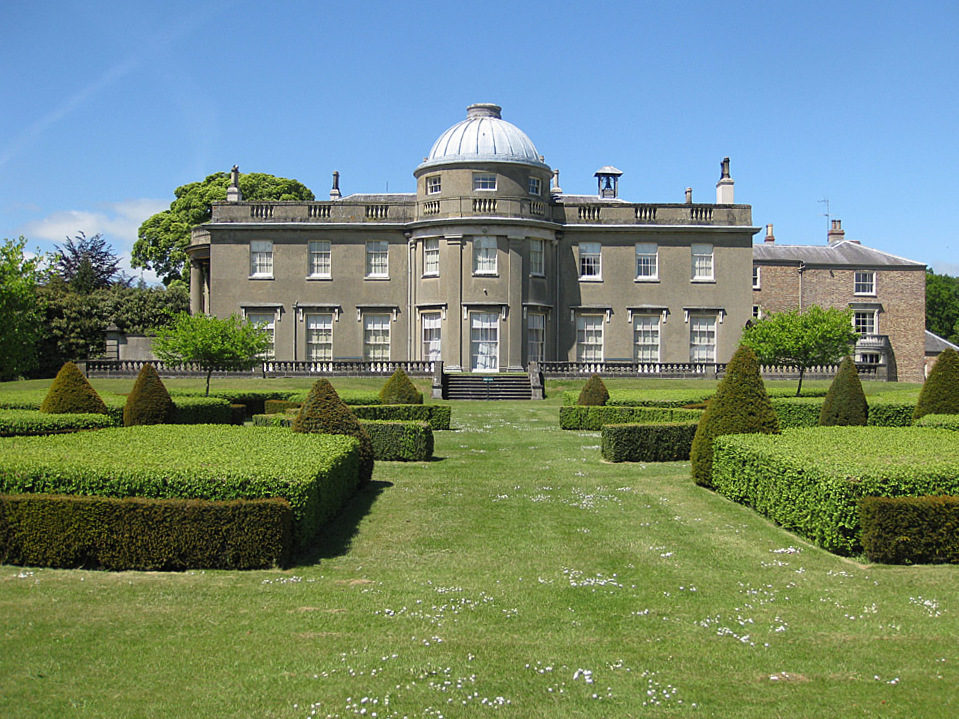
Scampston Hall
Scampston Hall is a Grade II* listed country house in North Yorkshire, England, with a serpentine park designed by Charles Bridgeman and Capability Brown...

Rillington
Rillington is a village and civil parish in North Yorkshire, England. Rillington was mentioned in the Domesday Survey in 1086 and rural life was relatively...

All Saints Church, Thorpe Bassett
All Saints Church is in the village of Thorpe Bassett, North Yorkshire, England. It is an active Anglican parish church in the deanery of Southern Ryedale...

West Knapton
West Knapton is a small village in the civil parish of Scampston, in North Yorkshire, England. It is situated on the edge of the Yorkshire Wolds at the...
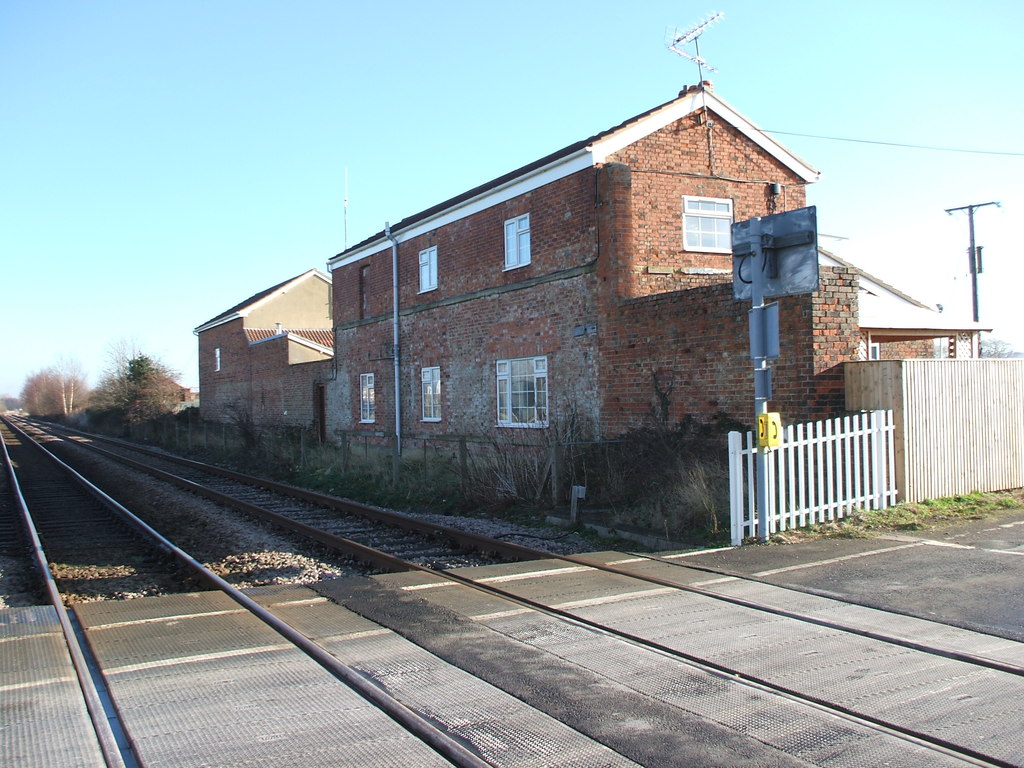
Rillington railway station
Rillington railway station (Rillington Junction until 1890) was a railway station serving the village of Rillington in North Yorkshire, England and on...
Thorpe Bassett
Thorpe Bassett is a village and civil parish in North Yorkshire, England. It is located between York and Scarborough in the North East of England. Surrounded...
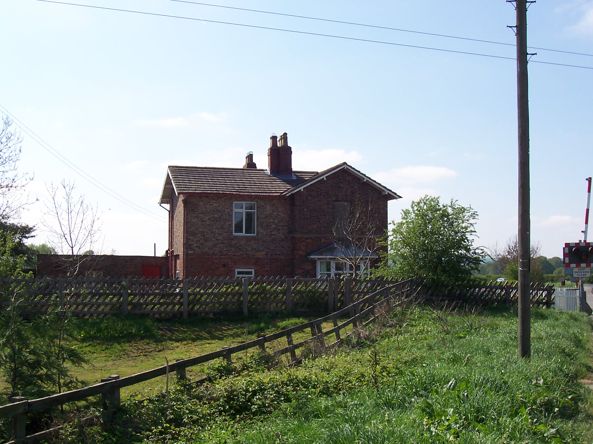
Knapton railway station
Knapton railway station was a minor railway station serving the villages of East Knapton and West Knapton in North Yorkshire, England. It was also the...
Nearby Amenities
Located within 500m of 54.164128,-0.68235214Have you been to The Plain?
Leave your review of The Plain below (or comments, questions and feedback).