Well Dale
Valley in Yorkshire Scarborough
England
Well Dale
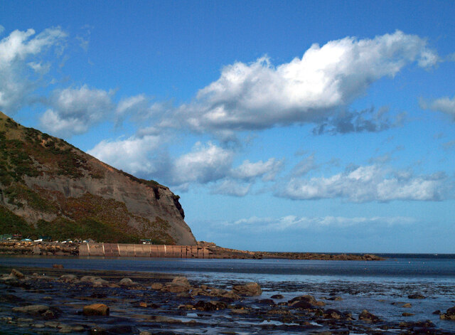
Well Dale is a picturesque valley located in the Yorkshire Dales National Park, in North Yorkshire, England. It is renowned for its stunning natural beauty, charming villages, and tranquil atmosphere. The valley stretches for approximately 8 miles and is characterized by rolling hills, lush meadows, and meandering streams.
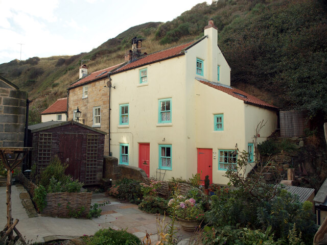
The area is rich in history and has been inhabited since ancient times, with evidence of settlements dating back to the Iron Age. Well Dale is dotted with traditional stone-built villages, such as Litton, Longstone, and Tideswell, which boast quaint cottages, historic churches, and traditional pubs.
Nature lovers are drawn to Well Dale for its diverse wildlife and abundance of walking and hiking trails. The valley is home to a variety of bird species, including peregrine falcons, curlews, and lapwings. Visitors can explore the numerous footpaths that wind through the valley, offering breathtaking views of the surrounding countryside and the opportunity to spot wildflowers, butterflies, and even rare orchids.
Historic landmarks and attractions are also prevalent in Well Dale. The village of Tideswell is known for its magnificent 14th-century church, known as the "Cathedral of the Peak," which features intricate carvings and a stunning interior. Other notable sites include the ancient stone circle of Arbor Low and the impressive limestone gorge of Monsal Dale.
Well Dale provides a tranquil escape for visitors seeking a peaceful retreat in the heart of the Yorkshire countryside. Its natural beauty, rich history, and charming villages make it a popular destination for both locals and tourists alike.
If you have any feedback on the listing, please let us know in the comments section below.
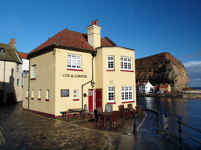
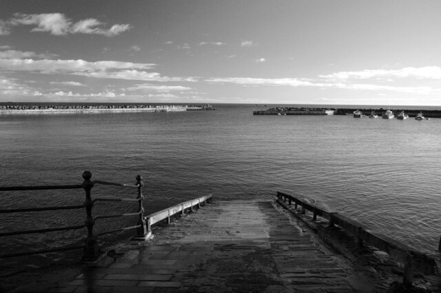
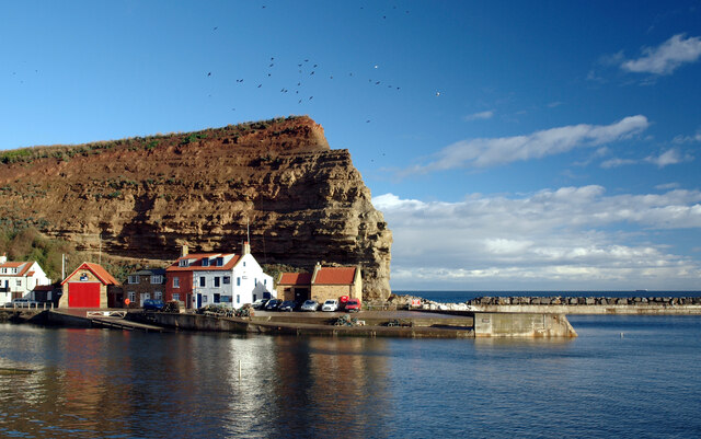
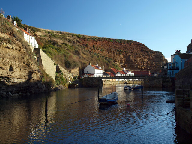
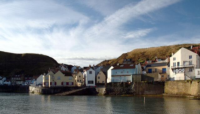
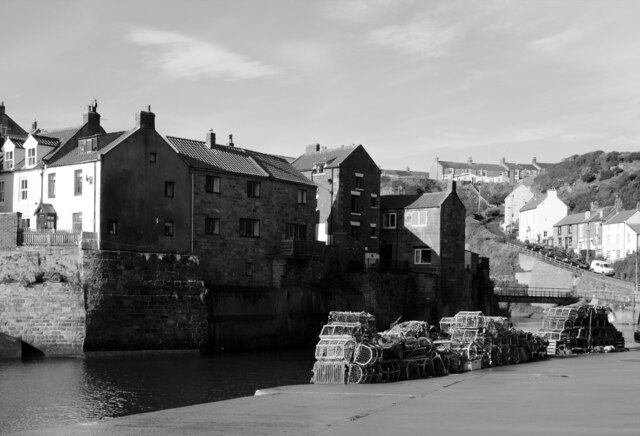
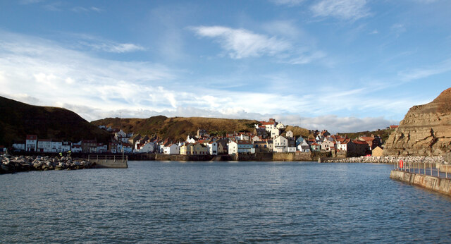
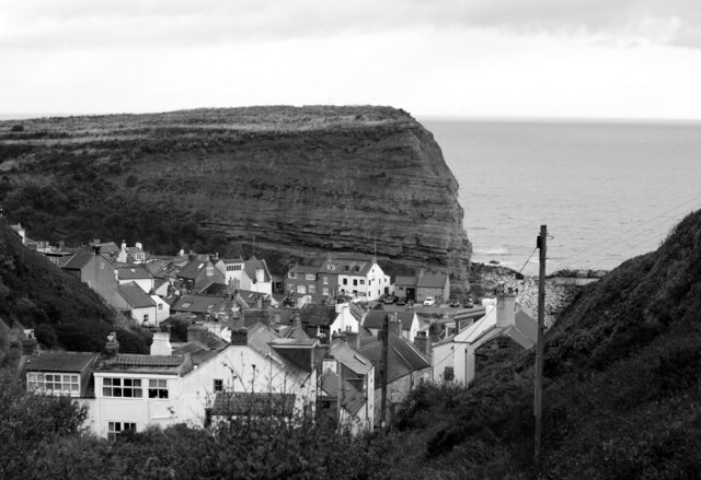
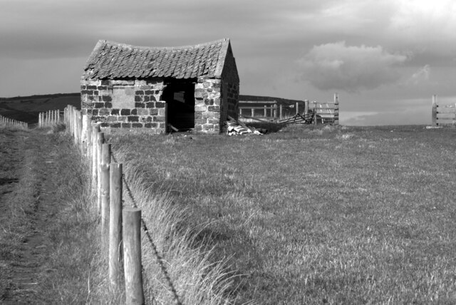
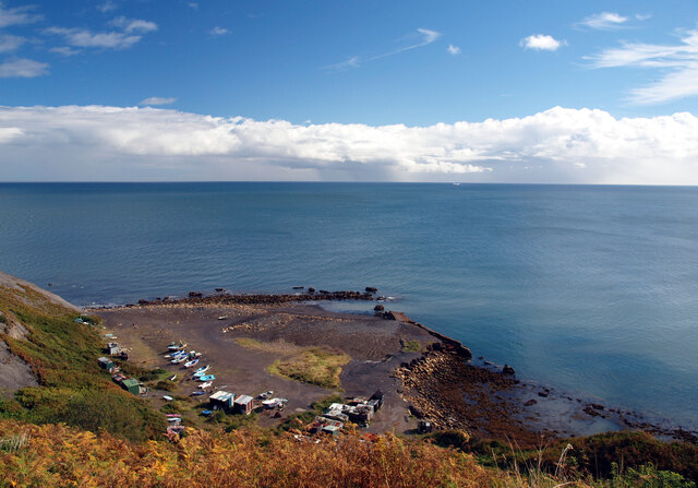
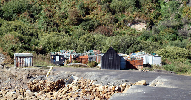
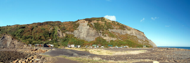
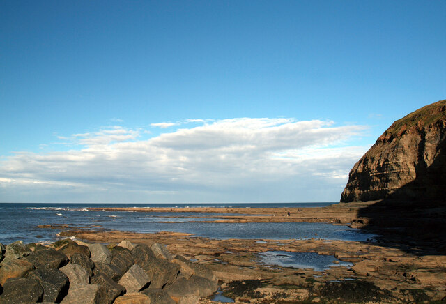
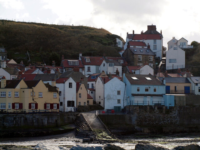
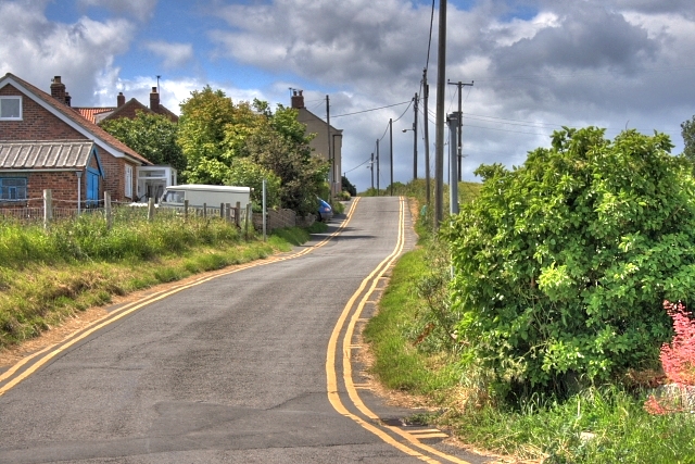
Well Dale Images
Images are sourced within 2km of 54.545934/-0.7891011 or Grid Reference NZ7817. Thanks to Geograph Open Source API. All images are credited.
Well Dale is located at Grid Ref: NZ7817 (Lat: 54.545934, Lng: -0.7891011)
Division: North Riding
Administrative County: North Yorkshire
District: Scarborough
Police Authority: North Yorkshire
What 3 Words
///presuming.chestnuts.pushy. Near Loftus, North Yorkshire
Nearby Locations
Related Wikis
Port Mulgrave, North Yorkshire
Port Mulgrave is a derelict former ironstone exporting port on the North Yorkshire coast midway between Staithes and Runswick Bay in the civil parish of...

Hinderwell
Hinderwell is a village and civil parish in the Scarborough district of North Yorkshire, England which lies within the North York Moors National Park,...

Staithes railway station
Staithes railway station was a railway station on the Whitby Redcar and Middlesbrough Union Railway, serving the villages of Staithes and Dalehouse in...
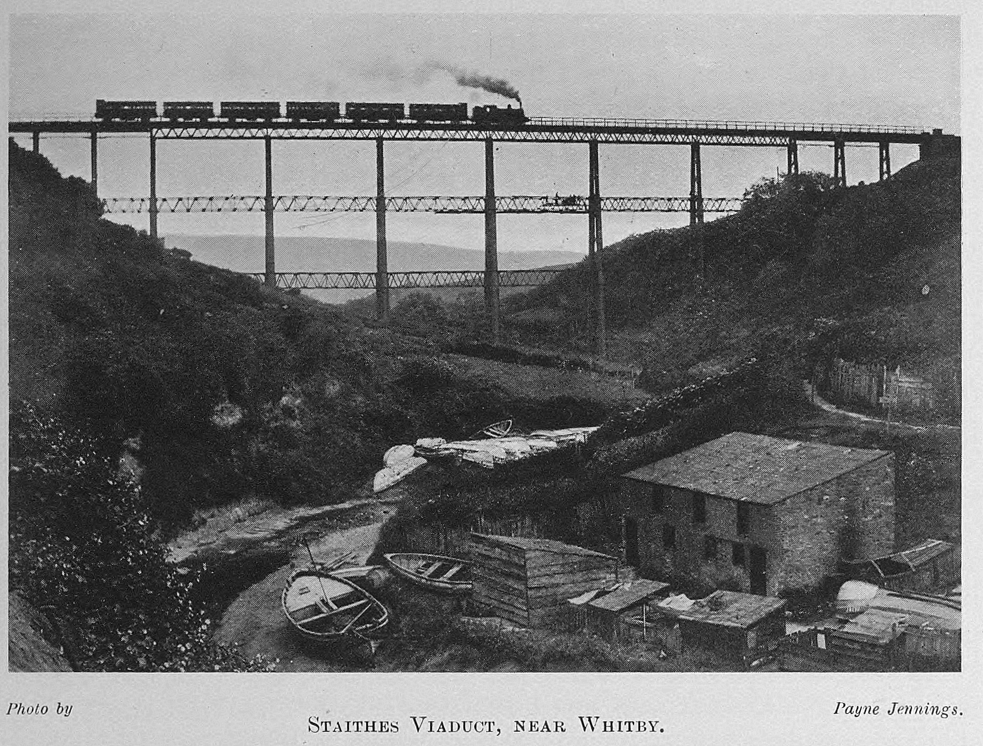
Staithes Viaduct
Staithes Viaduct was a railway bridge that straddled Staithes Beck at Staithes, Yorkshire, England. It was north of the closed Staithes railway station...
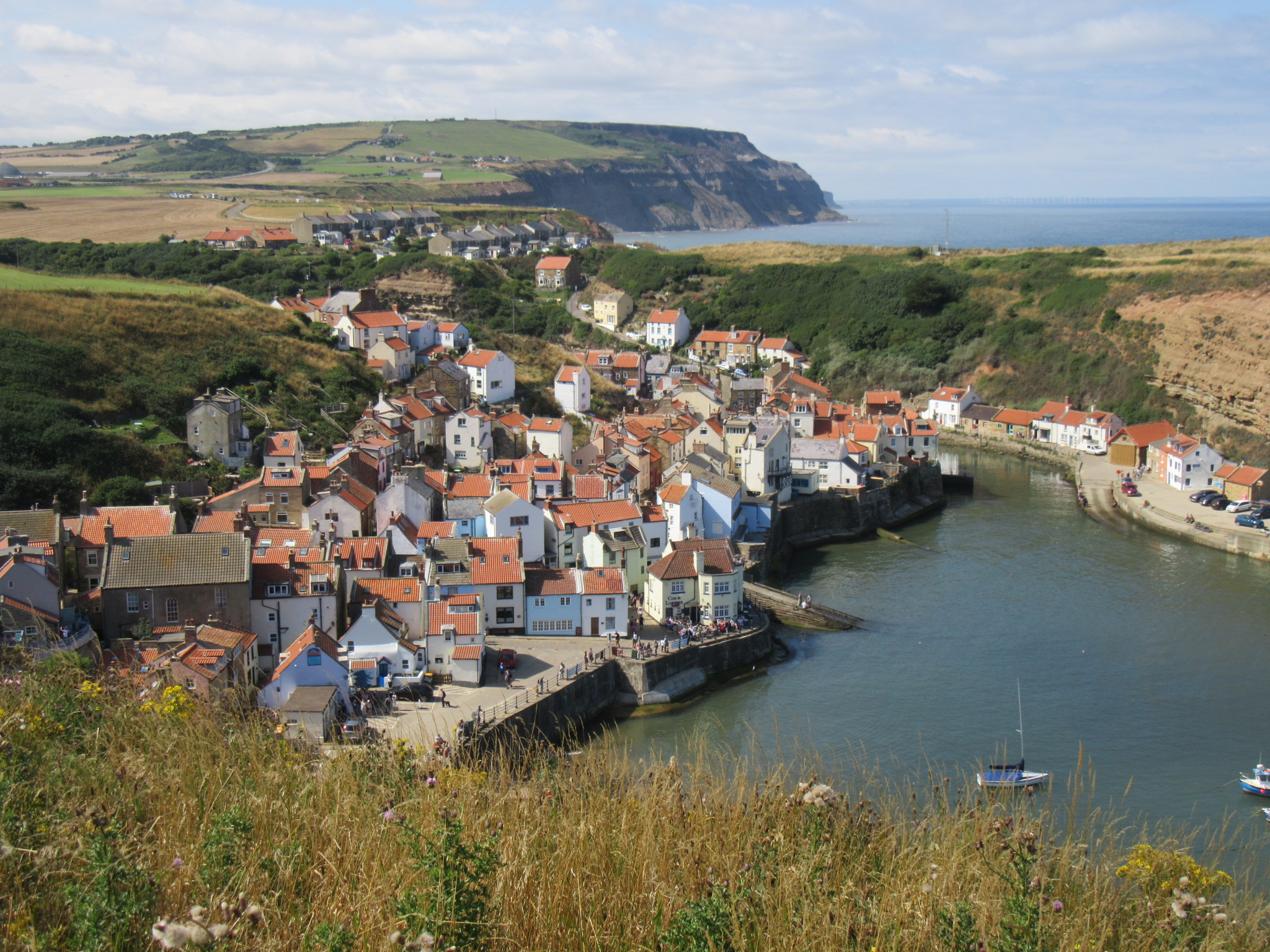
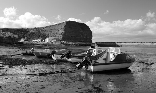
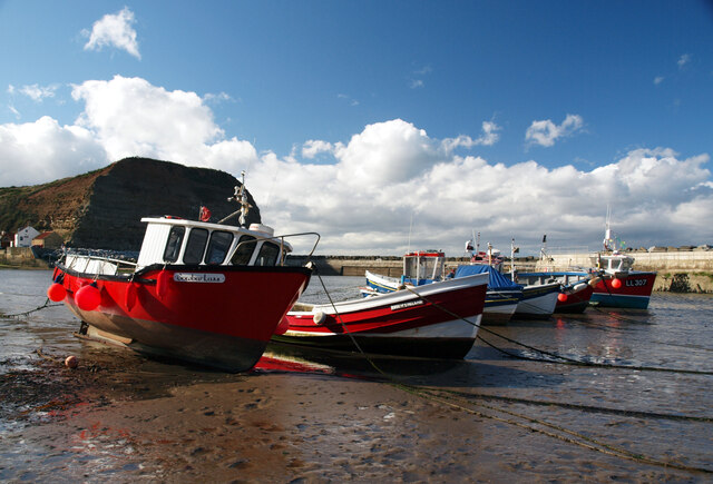
Staithes
Staithes is a seaside village in North Yorkshire, England. Easington and Roxby Becks, two brooks that run into Staithes Beck, form the border between the...
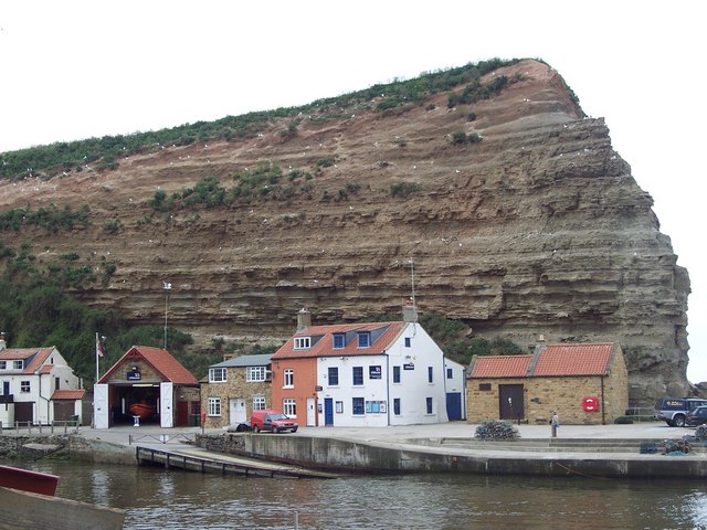
Staithes and Runswick Lifeboat Station
Staithes and Runswick Lifeboat Station is a Royal National Lifeboat Institution (RNLI) lifeboat station based in the village of Staithes, North Yorkshire...

Hinderwell railway station
Hinderwell railway station was a railway station on the Whitby Redcar and Middlesbrough Union Railway. It was opened on 3 December 1883, and served the...

Newton Mulgrave
Newton Mulgrave is a village and civil parish in the Scarborough district of North Yorkshire, England. The population of the civil parish was estimated...
Nearby Amenities
Located within 500m of 54.545934,-0.7891011Have you been to Well Dale?
Leave your review of Well Dale below (or comments, questions and feedback).