Deer Barn Bottom
Valley in Sussex Chichester
England
Deer Barn Bottom
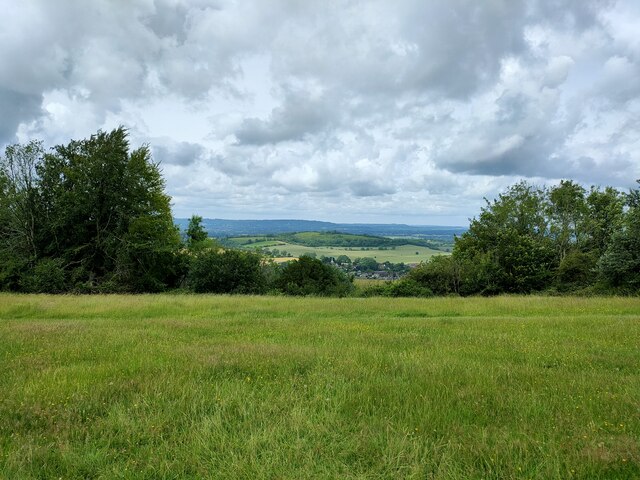
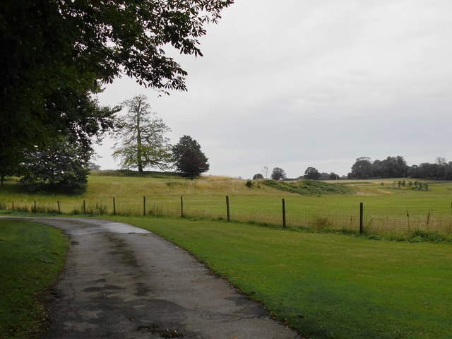
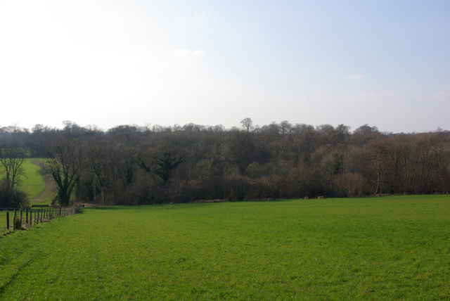
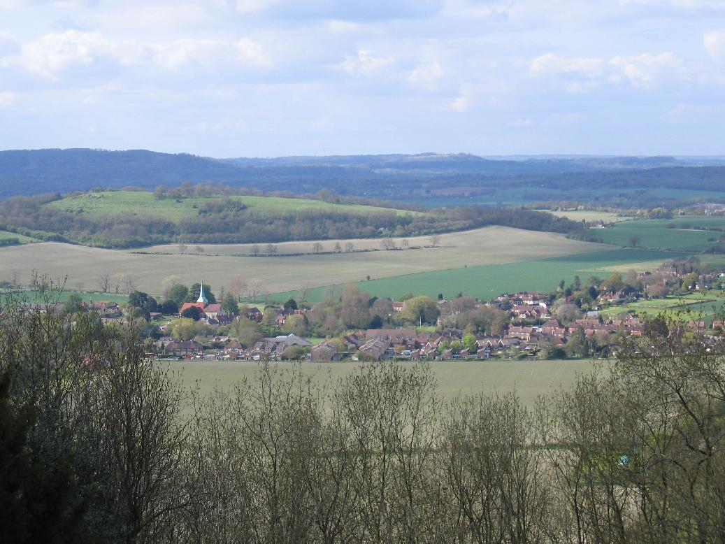
Deer Barn Bottom is a picturesque valley located in the county of Sussex, England. Situated amidst the South Downs National Park, this tranquil haven offers breathtaking natural beauty and diverse wildlife.
The valley gets its name from the historic deer barn that once stood here, which served as a shelter for deer during harsh weather conditions. Today, the barn no longer exists, but the name remains a reminder of its past significance.
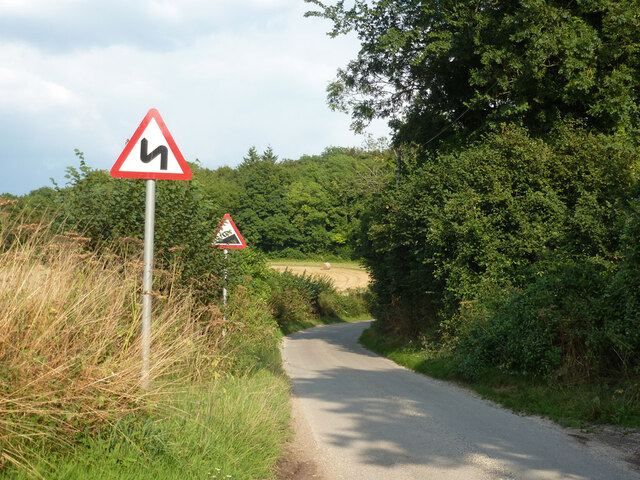
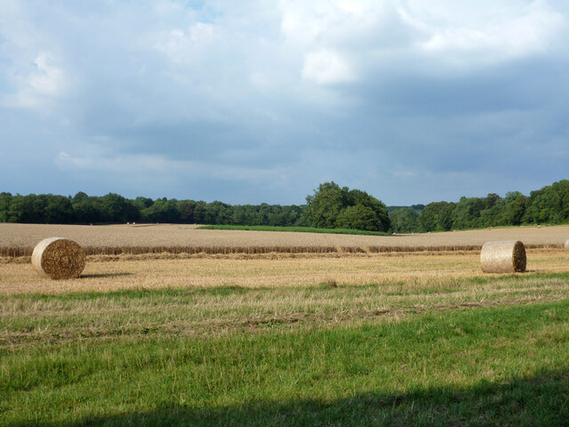
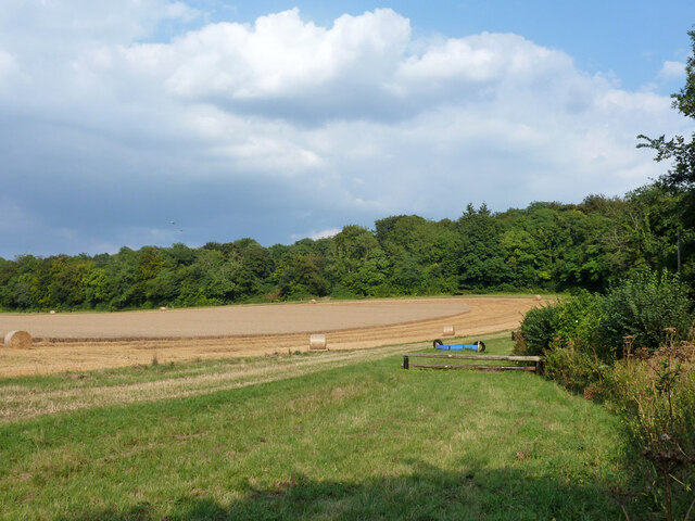
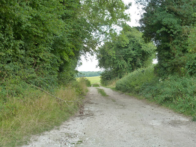
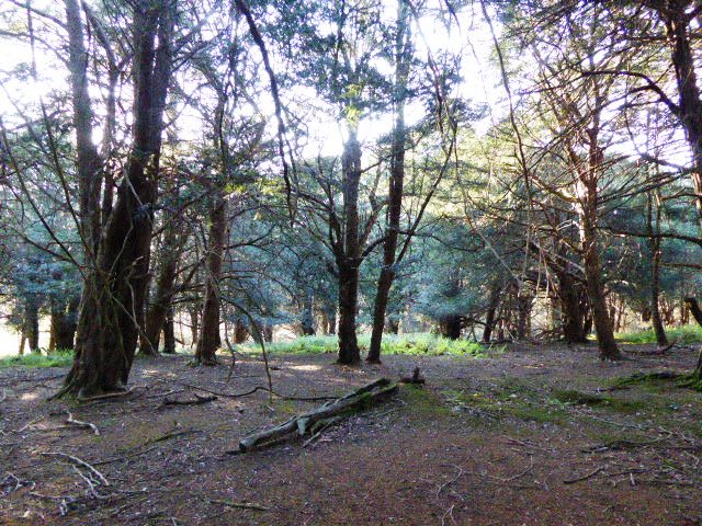
The landscape of Deer Barn Bottom is characterized by rolling hills, lush green meadows, and dense woodlands. The area is renowned for its rich biodiversity, making it a haven for nature enthusiasts and wildlife photographers. Visitors can spot a variety of animals, including deer, badgers, foxes, and a wide range of bird species.
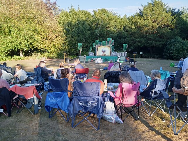
The valley is also home to a network of walking trails that crisscross through the countryside, offering visitors the opportunity to explore the area at their own pace. These trails provide stunning views of the surrounding countryside, with the South Downs Way, a long-distance footpath, passing through Deer Barn Bottom.
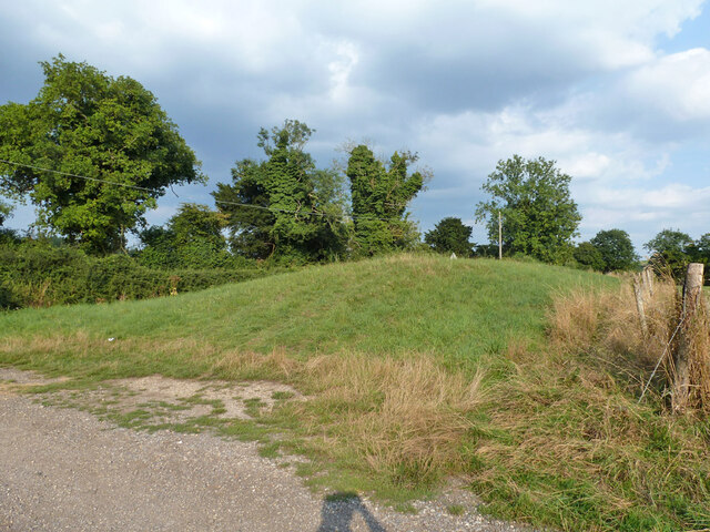
In addition to its natural beauty, Deer Barn Bottom is also known for its historical significance. The area has seen human habitation for thousands of years, with archaeological finds dating back to the Neolithic period. Visitors can explore ancient burial mounds and Iron Age hillforts, gaining insights into the valley's rich past.
Overall, Deer Barn Bottom is a haven of tranquility and natural beauty, offering visitors the chance to immerse themselves in the stunning landscapes and rich history of Sussex.
If you have any feedback on the listing, please let us know in the comments section below.
Deer Barn Bottom Images
Images are sourced within 2km of 50.94921/-0.88437613 or Grid Reference SU7817. Thanks to Geograph Open Source API. All images are credited.
Deer Barn Bottom is located at Grid Ref: SU7817 (Lat: 50.94921, Lng: -0.88437613)
Administrative County: West Sussex
District: Chichester
Police Authority: Sussex
What 3 Words
///latches.harmless.defensive. Near South Harting, West Sussex
Nearby Locations
Related Wikis

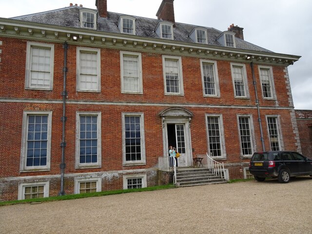
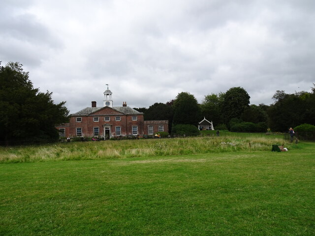
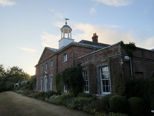
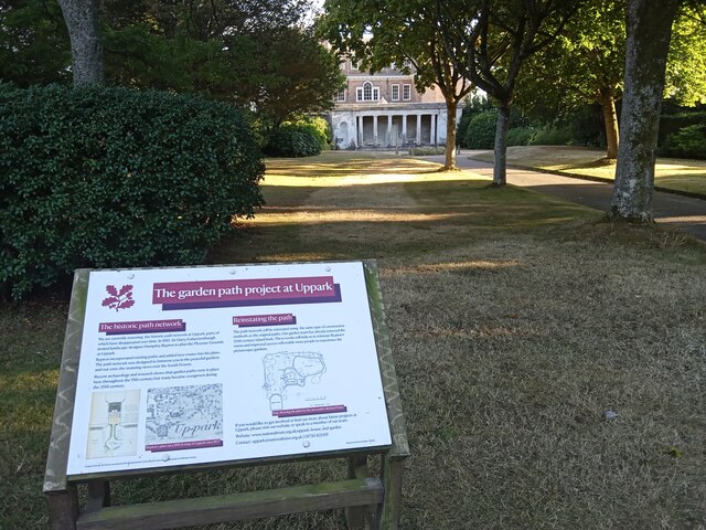
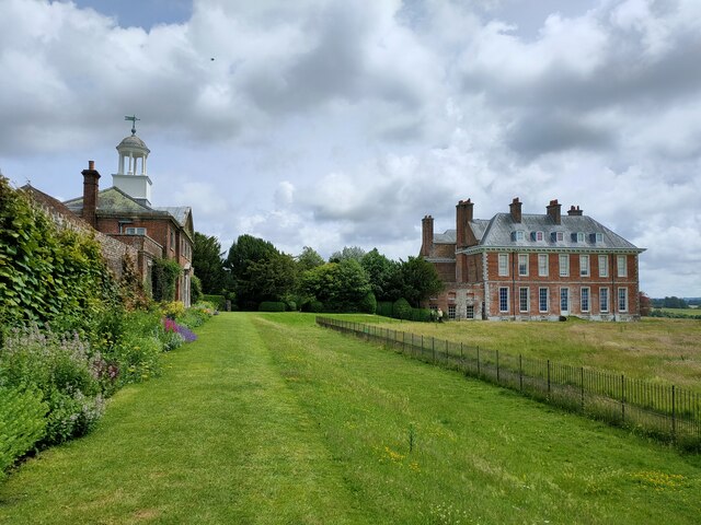
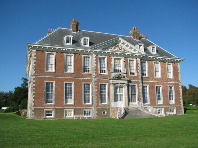
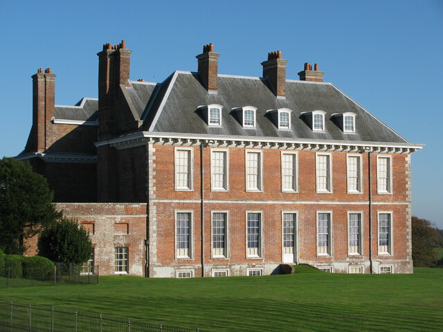
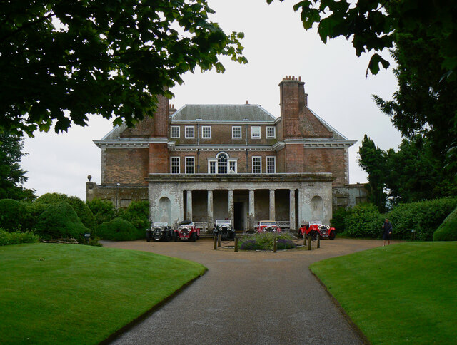
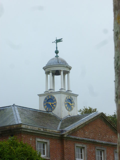
Uppark
Uppark is a 17th-century house in South Harting, West Sussex, England. It is a Grade I listed building and a National Trust property. == History == The...
Pads Wood
Pads Wood is a 22.2-hectare (55-acre) biological Site of Special Scientific Interest west of Midhurst in West Sussex.This ancient coppiced wood is mainly...
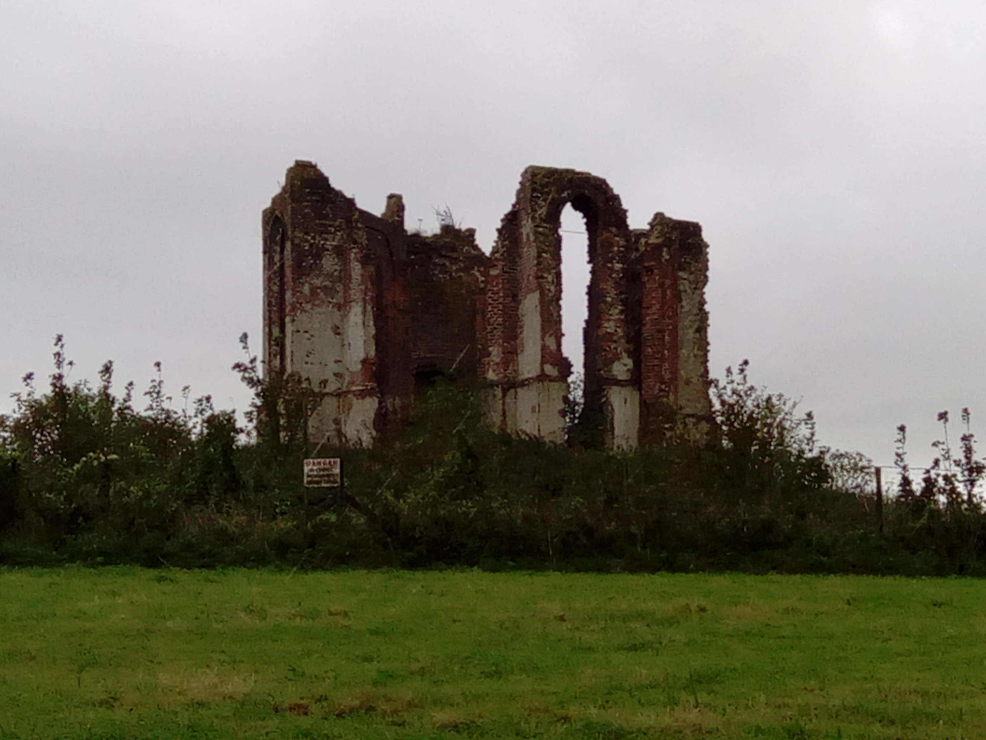
Vandalian Tower
The Vandalian Tower at Harting, West Sussex, England, is an 18th-century folly, built to commemorate the British colony of Vandalia, a short-lived colony...

Harting Downs
Harting Downs is a 336.3-hectare (831-acre) biological Site of Special Scientific Interest west of Midhurst in West Sussex. It is a Nature Conservation...

South Harting
South Harting is a village within Harting civil parish in the Chichester district of West Sussex, England. It lies on the B2146 road, 4 miles (6.4 km)...
Harting
Harting is a civil parish in the Chichester District of West Sussex, England. It is situated on the northern flank of the South Downs, around 3.5 miles...
West Harting Down SSSI
West Harting Down SSSI is a 13.9-hectare (34-acre) biological Site of Special Scientific Interest west of South Harting in West Sussex. It is part of...
Beacon Hill, West Sussex
Beacon Hill, also known as Harting Beacon, is a hillfort on the South Downs, in the county of West Sussex in southern England. The hillfort is located...
Nearby Amenities
Located within 500m of 50.94921,-0.88437613Have you been to Deer Barn Bottom?
Leave your review of Deer Barn Bottom below (or comments, questions and feedback).