Oakrigg Wood
Wood, Forest in Yorkshire Scarborough
England
Oakrigg Wood
Oakrigg Wood is a picturesque woodland located in the county of Yorkshire, England. Covering an area of approximately 50 acres, it is a renowned natural attraction for locals and tourists alike. The wood is situated in the heart of the Yorkshire Dales National Park, known for its stunning landscapes and diverse wildlife.
The name "Oakrigg Wood" derives from the abundance of oak trees that dominate the area. These majestic trees create a dense canopy, providing a sheltered habitat for a variety of flora and fauna. The wood is home to numerous species of plants, including bluebells, primroses, and wild garlic, which create a vibrant display of colors during the spring and summer months.
Visitors to Oakrigg Wood can enjoy a tranquil and peaceful environment, as the wood is well-preserved and carefully managed by local authorities. There are several walking trails that wind their way through the woodland, allowing visitors to explore its beauty at their own pace. These paths offer breathtaking views of the surrounding countryside and provide an opportunity to spot wildlife such as deer, squirrels, and a wide array of bird species.
Additionally, Oakrigg Wood offers recreational activities for nature enthusiasts, such as birdwatching and photography. The wood is a haven for birdlife, attracting species like the great spotted woodpecker, tawny owl, and various warblers. Photographers can capture the beauty of the woodland's changing seasons, with vibrant autumnal colors and frosty winter landscapes.
In conclusion, Oakrigg Wood in Yorkshire is a captivating natural treasure, offering visitors a chance to immerse themselves in the beauty of a well-preserved woodland ecosystem.
If you have any feedback on the listing, please let us know in the comments section below.
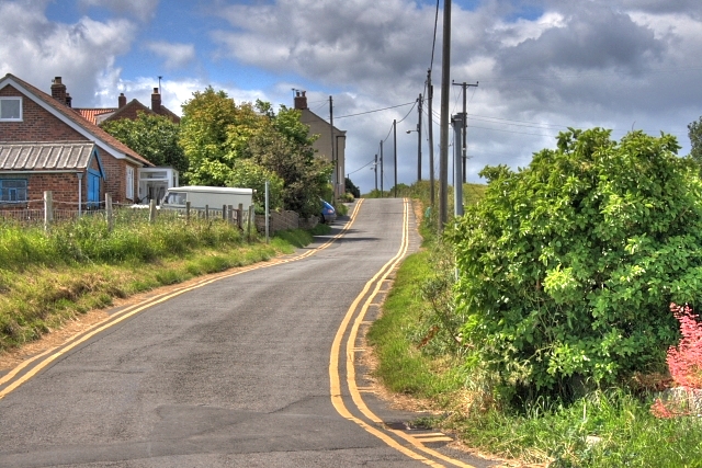
Oakrigg Wood Images
Images are sourced within 2km of 54.546227/-0.79141134 or Grid Reference NZ7817. Thanks to Geograph Open Source API. All images are credited.
Oakrigg Wood is located at Grid Ref: NZ7817 (Lat: 54.546227, Lng: -0.79141134)
Division: North Riding
Administrative County: North Yorkshire
District: Scarborough
Police Authority: North Yorkshire
What 3 Words
///registers.held.decoding. Near Loftus, North Yorkshire
Nearby Locations
Related Wikis

Staithes railway station
Staithes railway station was a railway station on the Whitby Redcar and Middlesbrough Union Railway, serving the villages of Staithes and Dalehouse in...
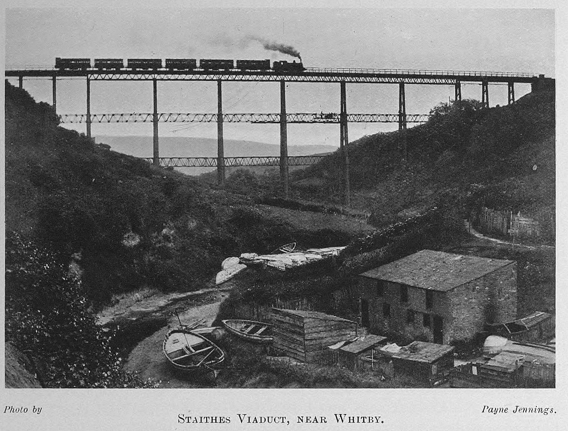
Staithes Viaduct
Staithes Viaduct was a railway bridge that straddled Staithes Beck at Staithes, Yorkshire, England. It was north of the closed Staithes railway station...
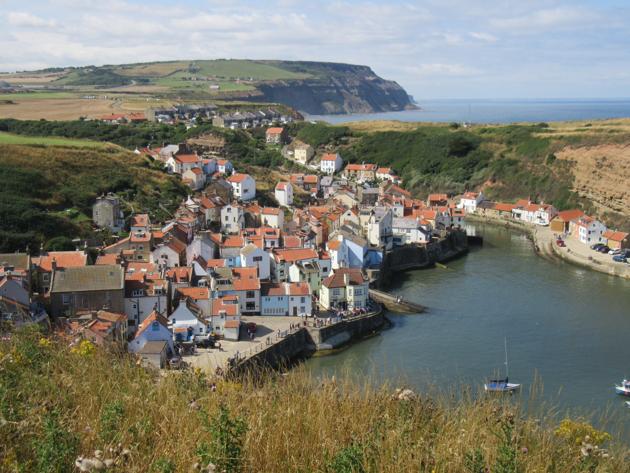
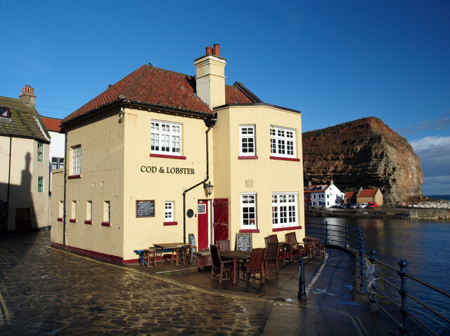
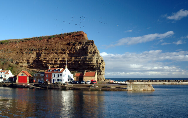
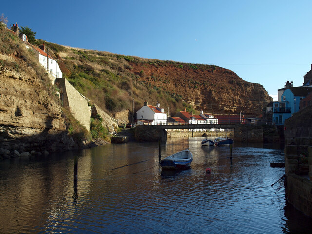
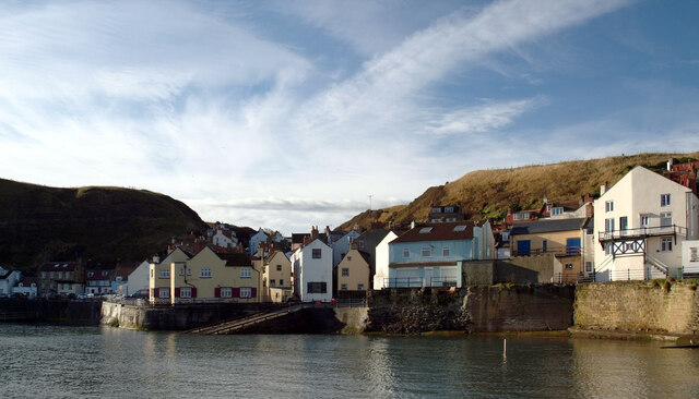
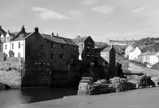
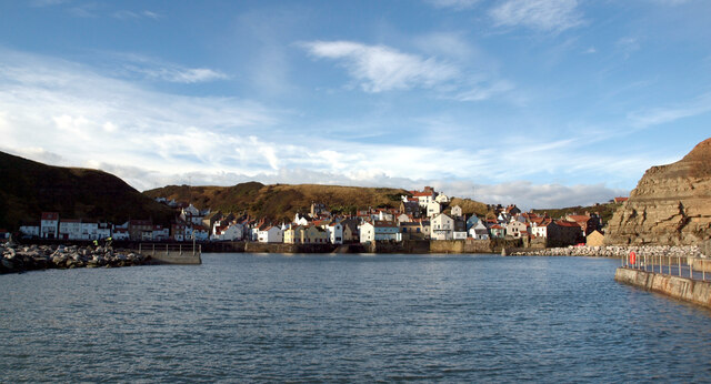
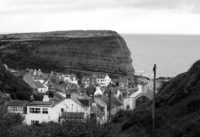
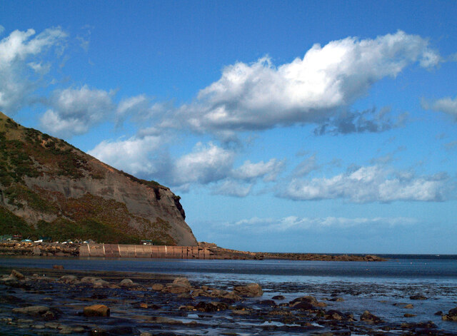
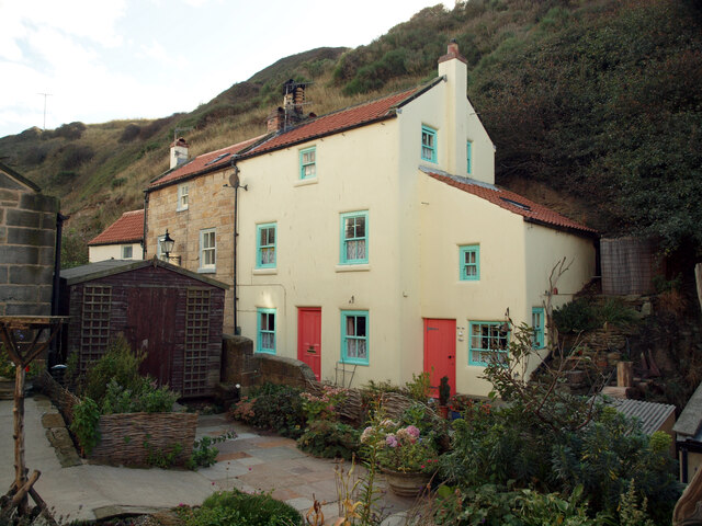
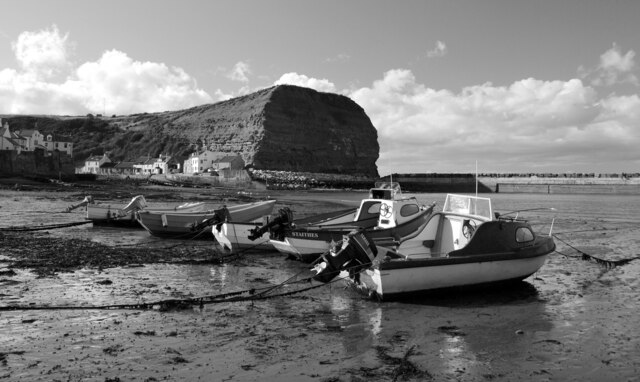
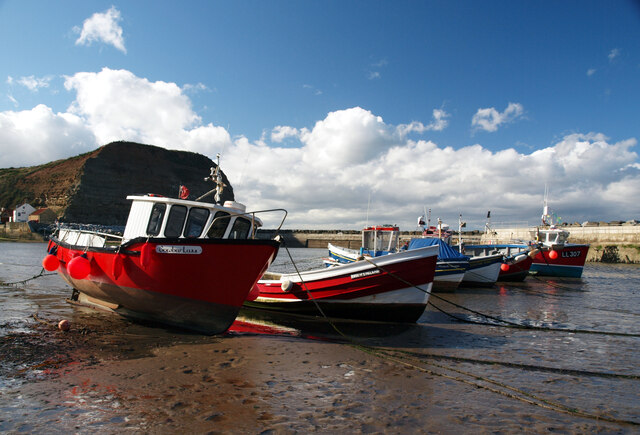
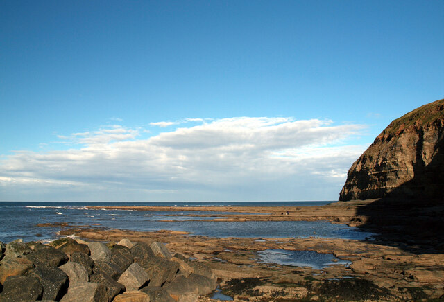
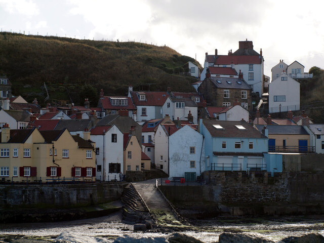
Staithes
Staithes is a seaside village in North Yorkshire, England. Easington and Roxby Becks, two brooks that run into Staithes Beck, form the border between the...
Port Mulgrave, North Yorkshire
Port Mulgrave is a derelict former ironstone exporting port on the North Yorkshire coast midway between Staithes and Runswick Bay in the civil parish of...

Hinderwell
Hinderwell is a village and civil parish in the Scarborough district of North Yorkshire, England which lies within the North York Moors National Park,...
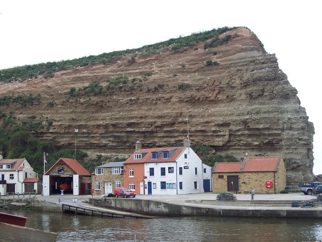
Staithes and Runswick Lifeboat Station
Staithes and Runswick Lifeboat Station is a Royal National Lifeboat Institution (RNLI) lifeboat station based in the village of Staithes, North Yorkshire...

Hinderwell railway station
Hinderwell railway station was a railway station on the Whitby Redcar and Middlesbrough Union Railway. It was opened on 3 December 1883, and served the...

Newton Mulgrave
Newton Mulgrave is a village and civil parish in the Scarborough district of North Yorkshire, England. The population of the civil parish was estimated...
Nearby Amenities
Located within 500m of 54.546227,-0.79141134Have you been to Oakrigg Wood?
Leave your review of Oakrigg Wood below (or comments, questions and feedback).