Middleton Dale

Valley in Yorkshire Ryedale

England

Middleton Dale

Newbridge Quarry on Sunday Nothing stirs. A little used footpath runs alongside the entrance road, and by some of the buildings on site.
Newbridge Quarry on Sunday Credit: Colin Grice

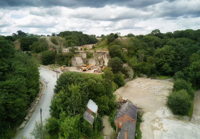
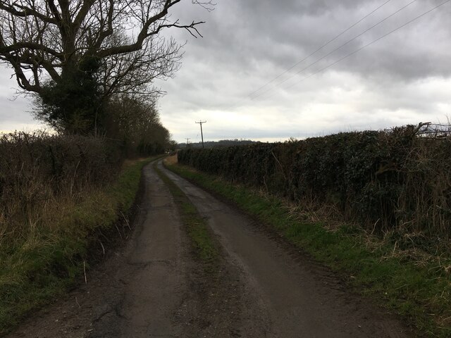
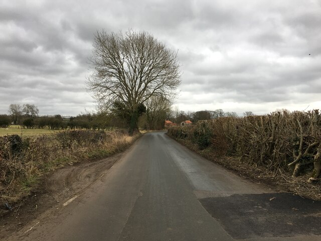
Middleton Dale is a picturesque valley located in the county of Yorkshire, England. Situated within the Peak District National Park, it is renowned for its stunning natural beauty and rich history. The valley is nestled between towering limestone cliffs, which provide a dramatic backdrop to the surrounding countryside.

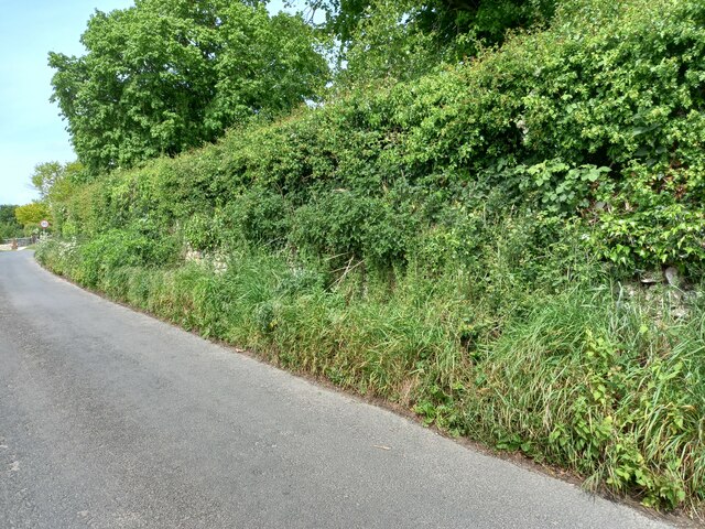
One of the most notable features of Middleton Dale is its abundance of wildlife. The valley is home to a diverse range of animal species, including rare birds, mammals, and reptiles. Nature enthusiasts can often spot peregrine falcons, kestrels, and buzzards soaring above the cliffs, while the meadows are teeming with wildflowers and butterflies during the warmer months.

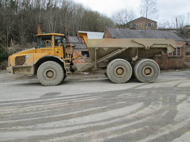
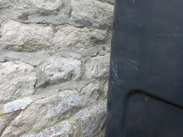
Middleton Dale has also played a significant role in the region's industrial heritage. The valley was once a hub for lead mining and quarrying, and remnants of these activities can still be seen today. Visitors can explore the disused mines and quarries, gaining insight into the area's past and the challenges faced by its inhabitants.

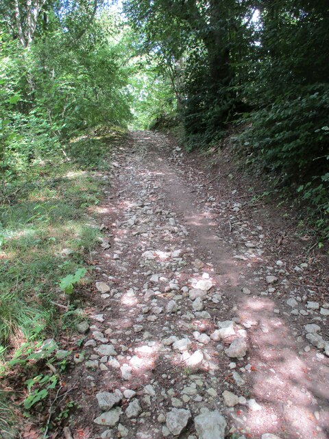
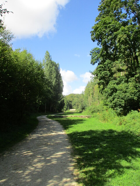
For those seeking outdoor activities, Middleton Dale offers numerous opportunities. Hiking and walking trails crisscross the valley, taking visitors through lush woodlands, across babbling brooks, and up to breathtaking viewpoints. Climbing enthusiasts can test their skills on the limestone cliffs, while cyclists can embark on exhilarating rides through the surrounding countryside.

In conclusion, Middleton Dale is a picturesque valley with a rich natural and historical heritage. Its stunning landscapes, diverse wildlife, and outdoor activities make it a popular destination for nature lovers and history enthusiasts alike.

If you have any feedback on the listing, please let us know in the comments section below.

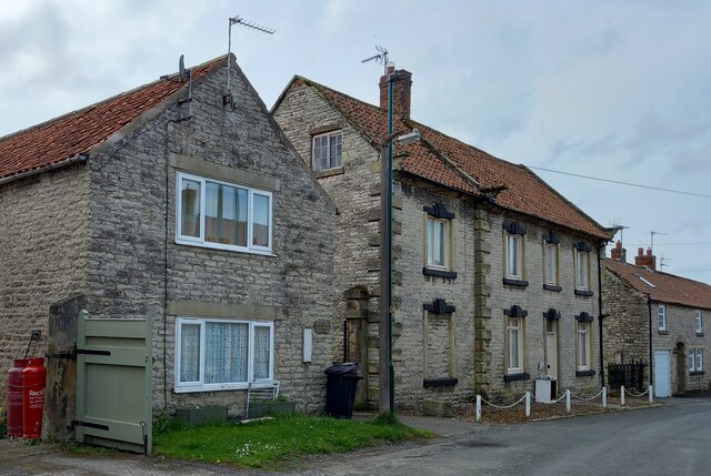
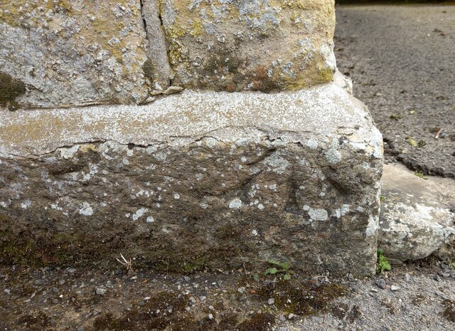
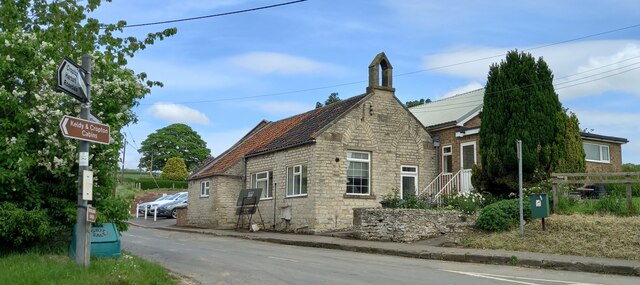
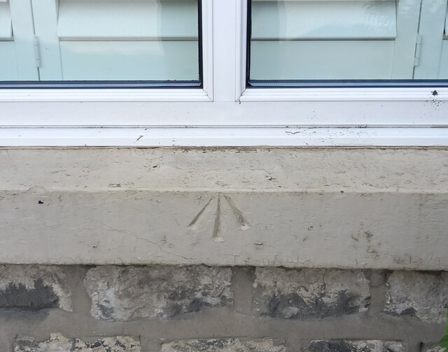
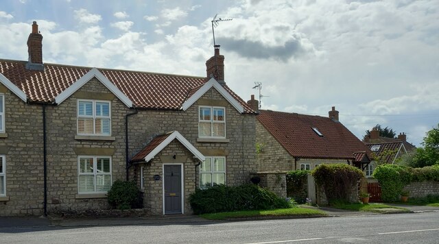
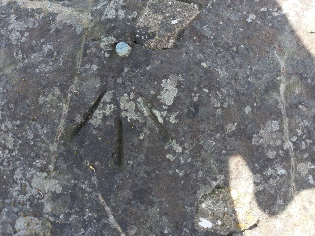
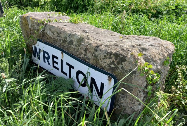
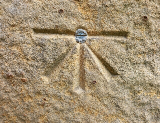
Middleton Dale Images

Images are sourced within 2km of 54.268209/-0.7993278 or Grid Reference SE7886. Thanks to Geograph Open Source API. All images are credited.

Newbridge Quarry on Sunday Nothing stirs. A little used footpath runs alongside the entrance road, and by some of the buildings on site.
Newbridge Quarry on Sunday
Nothing stirs. A little used footpath runs alongside the entrance road, and by some of the buildings on site.
Quarry lorry Quarry lorry at Newbridge Quarry.
Quarry lorry
Quarry lorry at Newbridge Quarry.
Straw  bales  in  a  stubble  field  on  Haugh  Rigg Gundale Wood behind to the left Haugh Wood
Straw bales in a stubble field on Haugh Rigg
Gundale Wood behind to the left Haugh Wood
Footpath  through  Haugh  Wood It comes down from the Rigg to the valley which contains the rifle range
Footpath through Haugh Wood
It comes down from the Rigg to the valley which contains the rifle range
Rifle  range  looking  from  butts  to  target  end The white bank at the end is behind the target framework, bullet stopping? I took the previous photo from the top of it
Rifle range looking from butts to target end
The white bank at the end is behind the target framework, bullet stopping? I took the previous photo from the top of it
Aislaby Carr Lane
Aislaby Carr Lane
Street Lane near Pickering
Wrelton, Goshen According to the OS benchmark database there is a pivot benchmark cut into the wall on the north side of the road. The wall is thick in hawthorn, ivy and other hedgerow plants, making it impossible to search for the mark.
Wrelton, Goshen
According to the OS benchmark database there is a pivot benchmark cut into the wall on the north side of the road. The wall is thick in hawthorn, ivy and other hedgerow plants, making it impossible to search for the mark.
Wrelton, Broomfield Cottage The benchmark is cut into the right hand cornerstone of the gable end of the cottage.
Wrelton, Broomfield Cottage
The benchmark is cut into the right hand cornerstone of the gable end of the cottage.
Wrelton, Broomfield Cottage There is a benchmark cut into the right hand cornerstone of the gable end of the cottage. It is located behind the wheelie bin.
Wrelton, Broomfield Cottage
There is a benchmark cut into the right hand cornerstone of the gable end of the cottage. It is located behind the wheelie bin.
Wrelton, village hall The benchmark is cut into the lowest course on the right of the front face of the hall.
Wrelton, village hall
The benchmark is cut into the lowest course on the right of the front face of the hall.
Wrelton, village hall There is a benchmark cut into the lowest course on the right of the front face of the hall.
Wrelton, village hall
There is a benchmark cut into the lowest course on the right of the front face of the hall.
Wrelton, Warwick Cottage There is a pivot benchmark cut into the stone window sill to the left of the front door.
Wrelton, Warwick Cottage
There is a pivot benchmark cut into the stone window sill to the left of the front door.
Wrelton, Warwick Cottage There is a pivot benchmark cut into the stone window sill of the cottage, and this is the sill to the left of the front door.
Wrelton, Warwick Cottage
There is a pivot benchmark cut into the stone window sill of the cottage, and this is the sill to the left of the front door.
Wrelton, roadside village sign The rivet benchmark is cut into the top of the roadside village sign.
Wrelton, roadside village sign
The rivet benchmark is cut into the top of the roadside village sign.
Wrelton, roadside village sign There is a rivet benchmark cut into the top of the roadside village sign.
Wrelton, roadside village sign
There is a rivet benchmark cut into the top of the roadside village sign.
Middleton, St Andrew's church The bolt benchmark is cut into the west facing wall of the church.
Middleton, St Andrew's church
The bolt benchmark is cut into the west facing wall of the church.
Middleton, St Andrew's church There is a bolt benchmark cut into the west facing wall of the church.
Middleton, St Andrew's church
There is a bolt benchmark cut into the west facing wall of the church.
Show me another place!

Middleton Dale is located at Grid Ref: SE7886 (Lat: 54.268209, Lng: -0.7993278)

Division: North Riding

Administrative County: North Yorkshire

District: Ryedale

Police Authority: North Yorkshire

What 3 Words

///pylon.laying.irritable. Near Pickering, North Yorkshire

Nearby Locations

Middleton Dale

Related Wikis

Aislaby, Ryedale

Aislaby is a hamlet and civil parish near the English town of Pickering, North Yorkshire. It lies on the A170 to the west of Pickering between Wrelton...

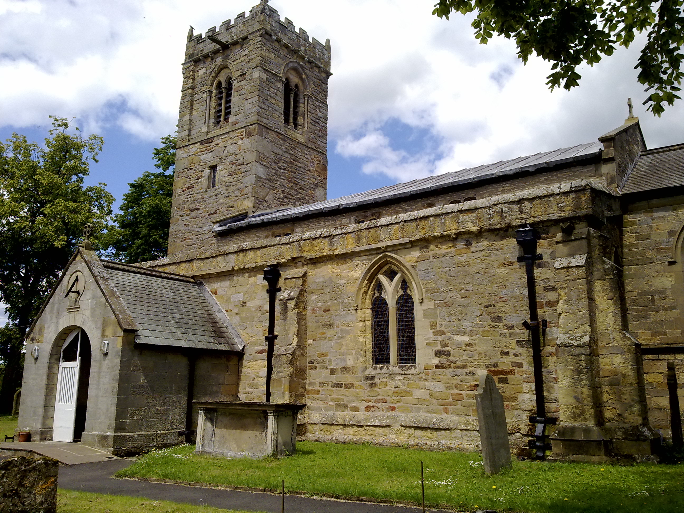
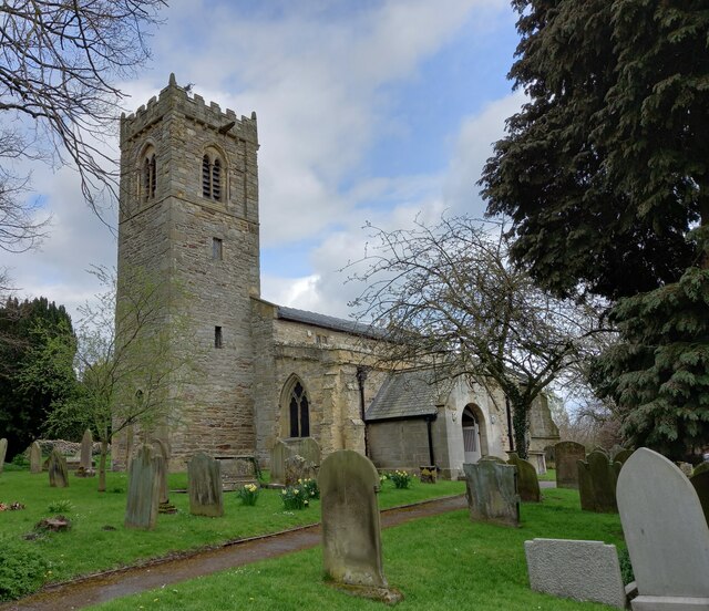
Middleton, east North Yorkshire

Middleton is a small village and civil parish in North Yorkshire, England. It is situated on the A170 road to the west of Pickering. There is a Church...

Costa Beck

Costa Beck is a small river in the Ryedale district of North Yorkshire, England. It also lends its name to an archaeological site. == Watercourse == The...

Wrelton

Wrelton is a village and civil parish in North Yorkshire, England. It is on the A170 road and 2 miles west of Pickering. == History == Wrelton is mentioned...

Lady Lumley's School

Lady Lumley's School is a coeducational secondary school and sixth form located in Pickering, North Yorkshire, England. It was founded in Thornton-le-Dale...

Newbridge, North Yorkshire

Newbridge is a hamlet, near Pickering in North Yorkshire, England.
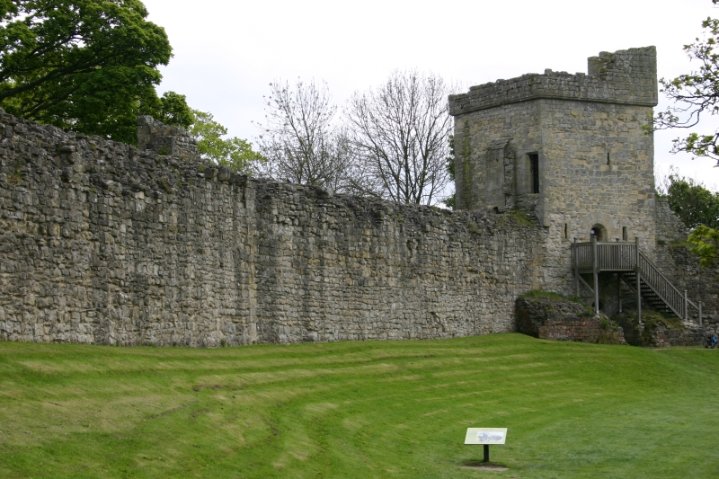
Pickering Castle

Pickering Castle is a motte-and-bailey fortification in Pickering, North Yorkshire, England. == Design == Pickering Castle was originally a timber and...
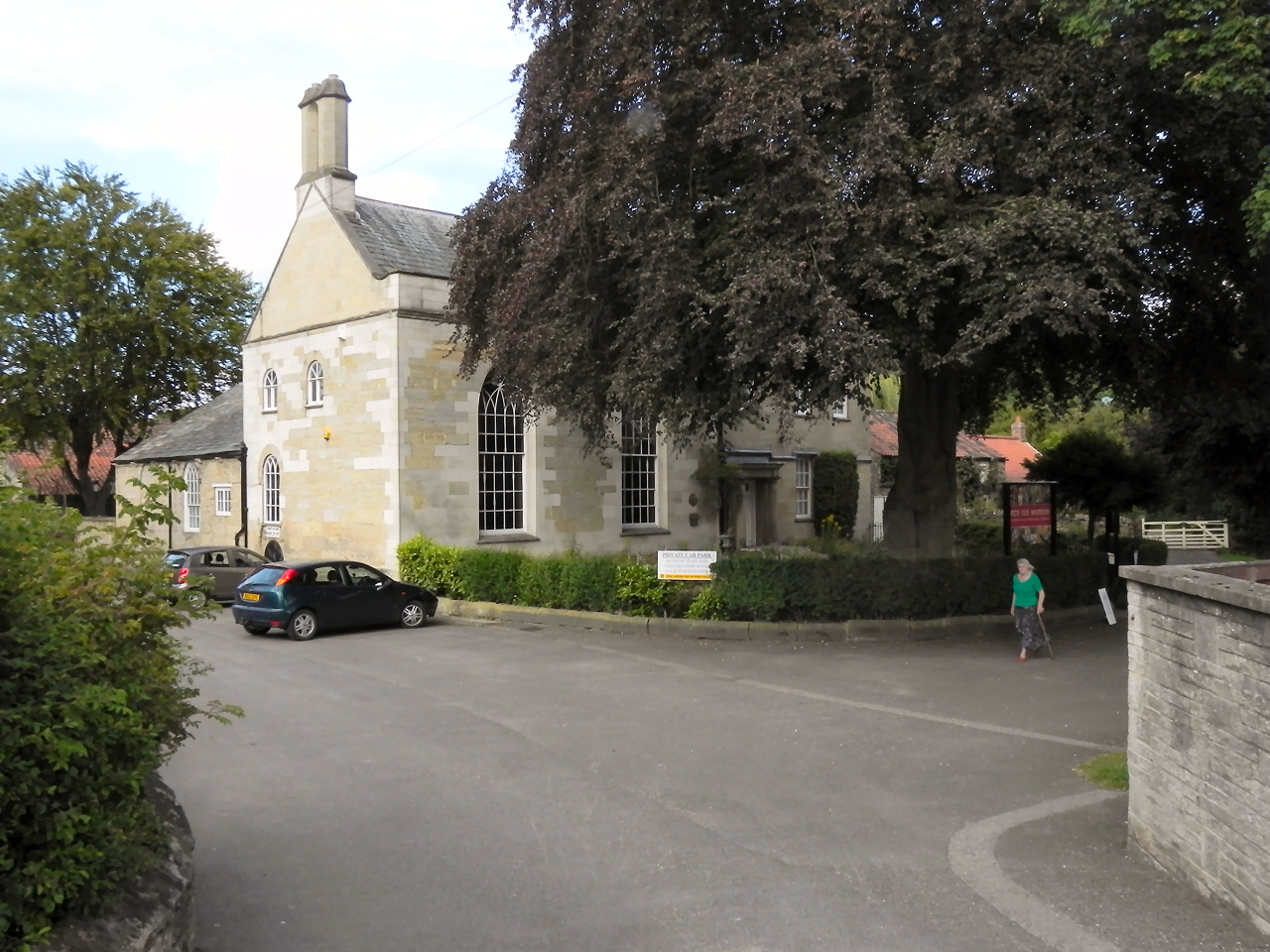
Beck Isle Museum

The Beck Isle Museum of Rural Life is a social history museum in Pickering, North Yorkshire, England. The museum features period business displays including...

Nearby Amenities

Located within 500m of 54.268209,-0.7993278
Bench
Lat/Long: 54.2651772/-0.798821
Passing Place
Lat/Long: 54.2700412/-0.7968869
Passing Place
Lat/Long: 54.2674673/-0.7980919
The data included in this document is from www.openstreetmap.org. The data is made available under ODbL.

Have you been to Middleton Dale?

Leave your review of Middleton Dale below (or comments, questions and feedback).