Oxton Dumble
Valley in Nottinghamshire Newark and Sherwood
England
Oxton Dumble
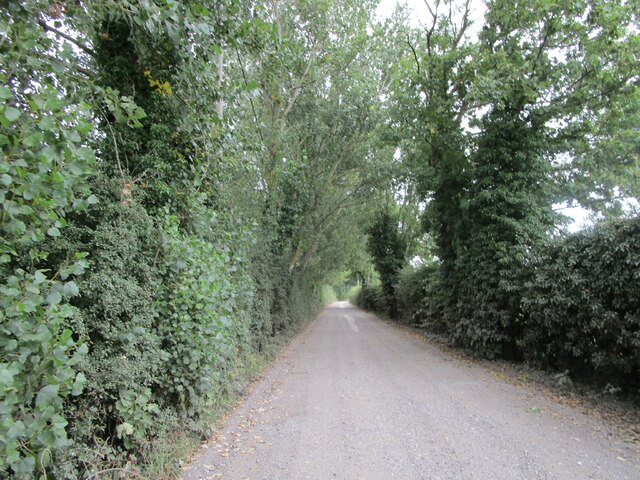
Oxton Dumble is a picturesque village situated in the county of Nottinghamshire, England. Nestled in a scenic valley, the village is surrounded by rolling hills and lush greenery, offering residents and visitors a tranquil and idyllic setting.
The village is known for its charm and historical significance. Its origins can be traced back to medieval times, with some of the buildings dating back several centuries. The architecture of the village reflects its heritage, with traditional stone cottages and timber-framed houses dotted throughout the area.
Oxton Dumble is home to a tight-knit community, with a population of approximately 1,000 residents. The village boasts a range of amenities to cater to the needs of its inhabitants, including a local primary school, village hall, and a charming parish church. The church, dedicated to St. Peter, is a prominent landmark in the village and is known for its beautiful stained glass windows and intricate stonework.
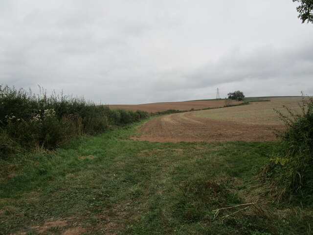
Nature lovers are drawn to Oxton Dumble for its stunning natural surroundings. The village is located near several nature reserves and walking trails, providing ample opportunities for outdoor activities such as hiking and birdwatching. The nearby River Trent also offers opportunities for fishing and boating.
Despite its tranquil setting, Oxton Dumble is conveniently located near major transport links, with easy access to the nearby city of Nottingham and other towns in the region. This allows residents to enjoy the peace and serenity of village life while still benefiting from the amenities and opportunities available in larger urban areas.
If you have any feedback on the listing, please let us know in the comments section below.
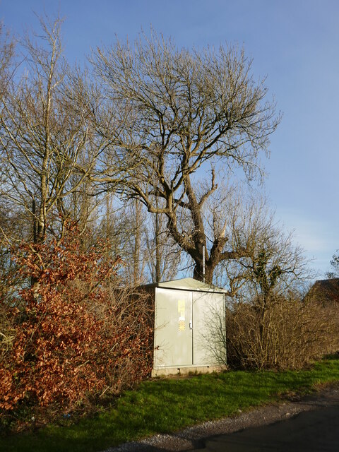
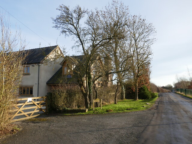
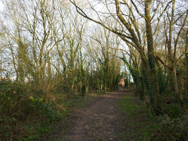
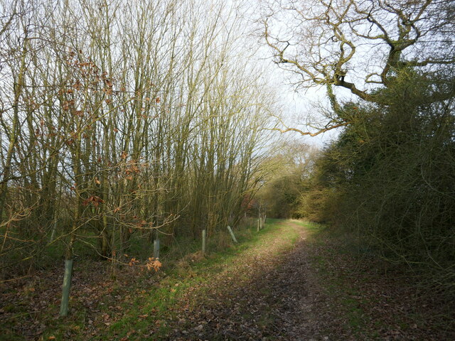
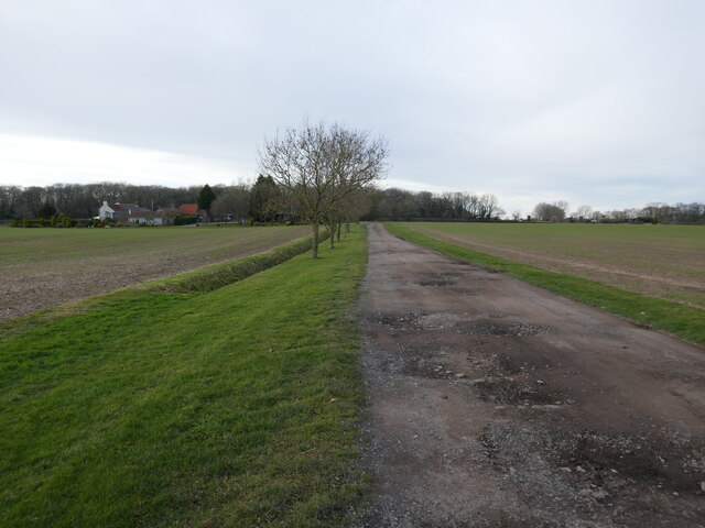
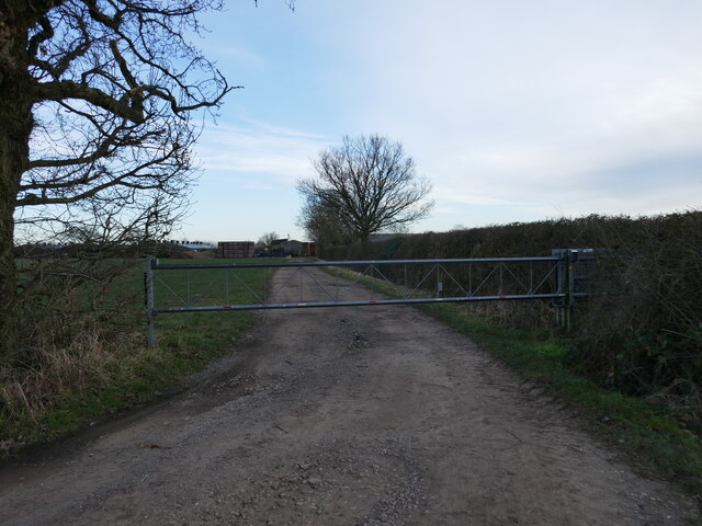
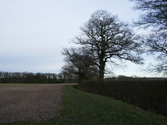
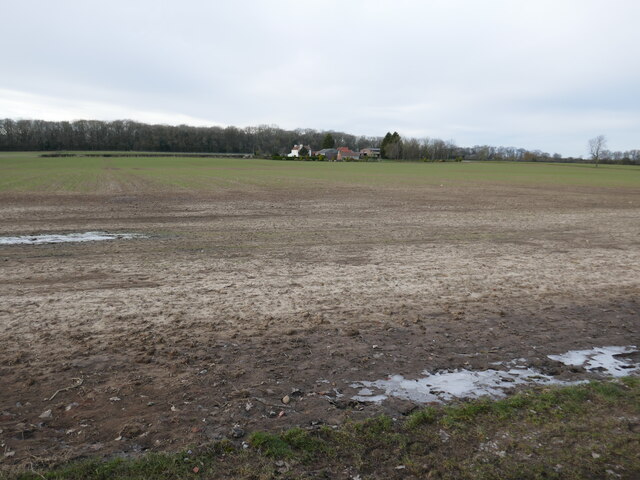
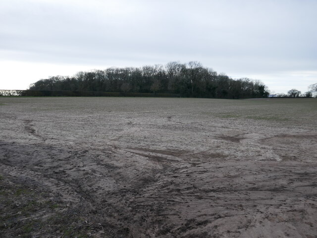
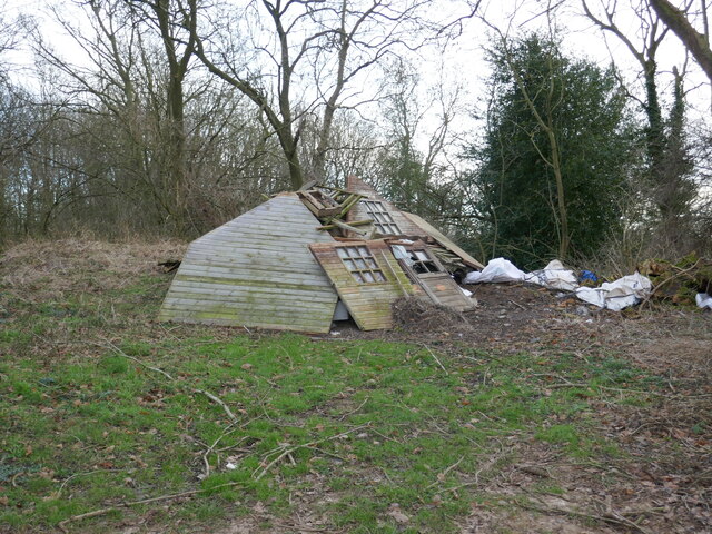
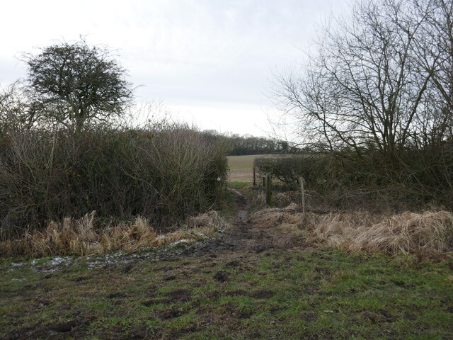
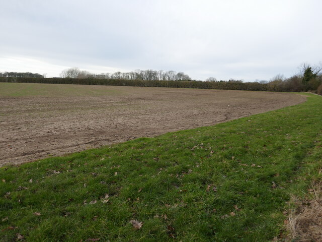
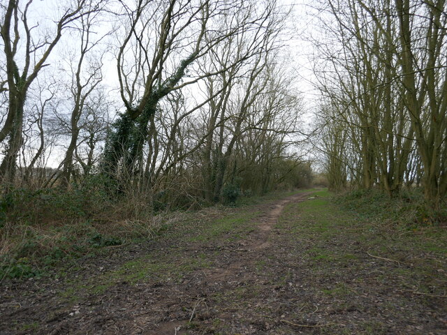
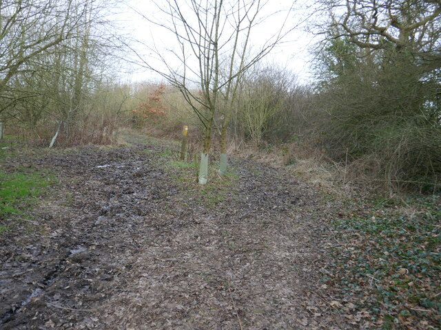
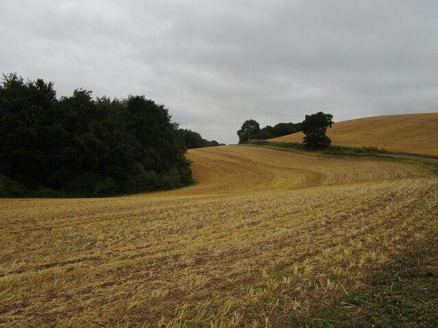
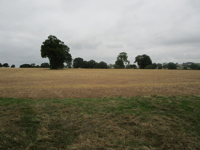
Oxton Dumble Images
Images are sourced within 2km of 53.065925/-1.040539 or Grid Reference SK6452. Thanks to Geograph Open Source API. All images are credited.
Oxton Dumble is located at Grid Ref: SK6452 (Lat: 53.065925, Lng: -1.040539)
Administrative County: Nottinghamshire
District: Newark and Sherwood
Police Authority: Nottinghamshire
What 3 Words
///cherubs.wriggled.tadpoles. Near Farnsfield, Nottinghamshire
Nearby Locations
Related Wikis
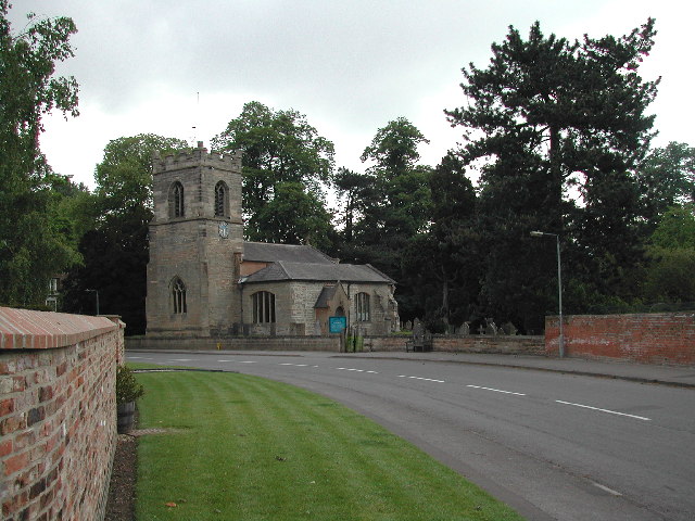
St Peter & St Paul's Church, Oxton
St Peter & St Paul's Church, Oxton is a Grade I listed parish church in the Church of England in Oxton, Nottinghamshire. == History == The church dates...
Oxton, Nottinghamshire
Oxton is a village in Nottinghamshire, England, with a 568 residents at the 2011 census. It is located 5 miles (8 km) west of Southwell, 5 miles (8 km...

St Michael the Archangel's Church, Halam
St Michael the Archangel's Church, Halam is a Grade I listed parish church in the Church of England in Halam, Nottinghamshire. == History == St Michael...

Edingley
Edingley is a village in the Newark and Sherwood district of Nottinghamshire, England. According to the 2001 census it had a population of 390, increasing...
Nearby Amenities
Located within 500m of 53.065925,-1.040539Have you been to Oxton Dumble?
Leave your review of Oxton Dumble below (or comments, questions and feedback).