Chequer Bottoms

Valley in Nottinghamshire Bassetlaw

England

Chequer Bottoms

Tree-lined bridleway on Barnby Moor Paved to a high standard as it provides vehicle access to Scofton and nearby farms.
Tree-lined bridleway on Barnby Moor Credit: Graham Hogg

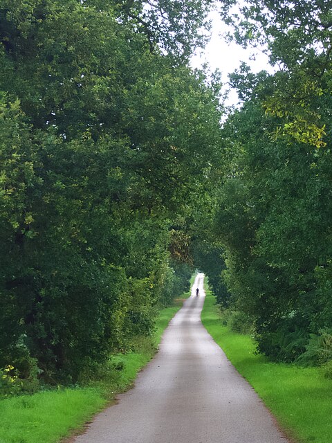
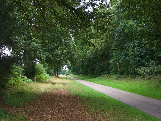
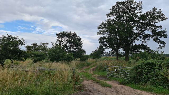
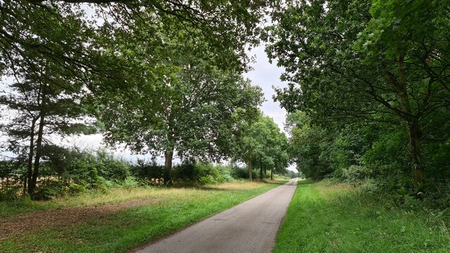
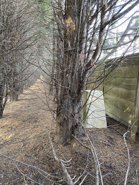
Chequer Bottoms is a picturesque valley located in the county of Nottinghamshire, England. Nestled between rolling hills and lush greenery, this idyllic valley is a haven for nature enthusiasts and those seeking serenity away from the bustling city.

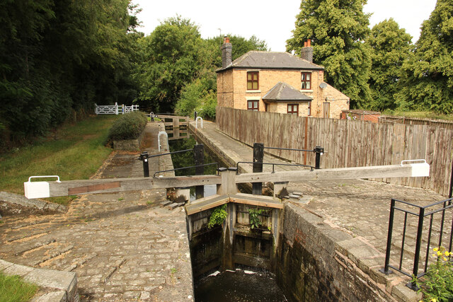
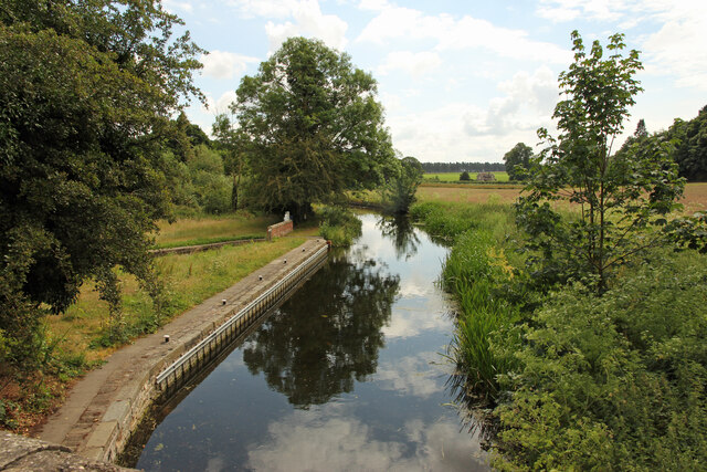
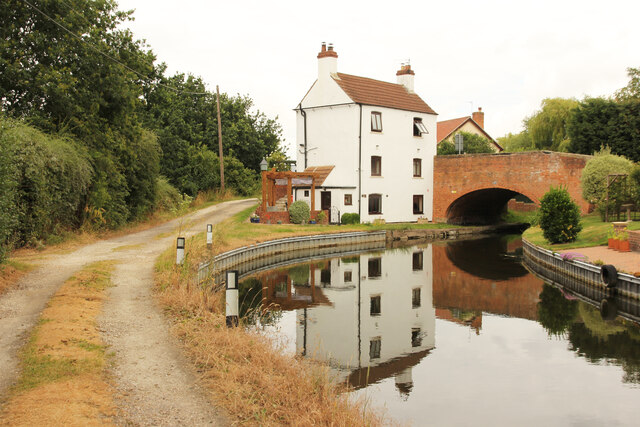
The valley is characterized by its stunning natural beauty, with a meandering river flowing through its heart, surrounded by verdant meadows and dense woodlands. The river provides a habitat for a variety of wildlife, including otters, kingfishers, and a plethora of fish species.

Chequer Bottoms is also home to a diverse range of flora, with wildflowers dotting the landscape and creating a vibrant tapestry of colors. Bluebells, primroses, and daffodils are just a few examples of the flora that can be found here, making it a popular spot for nature walks and photography.

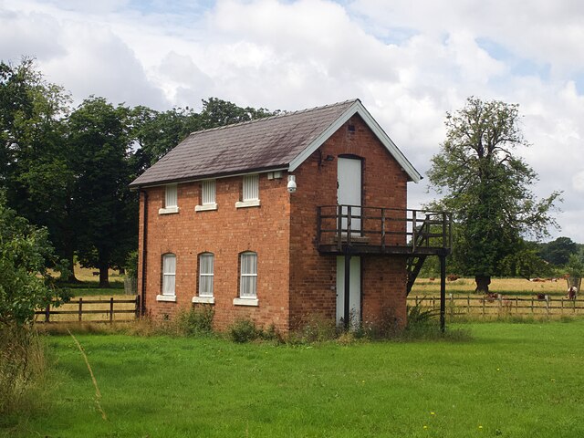
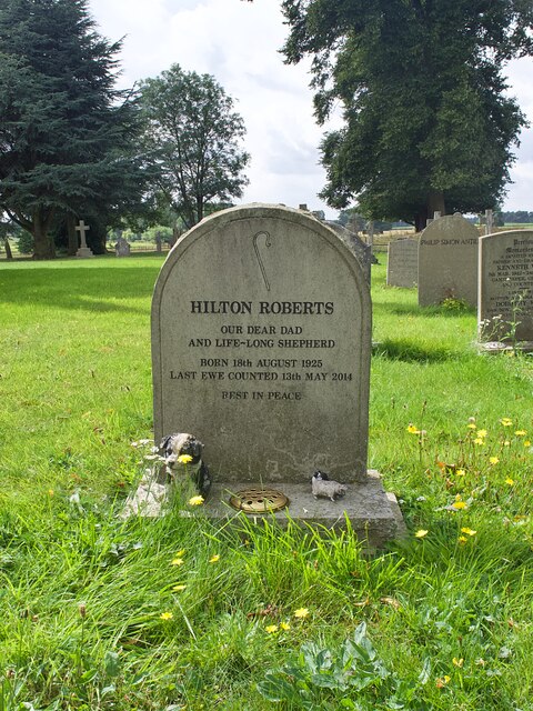
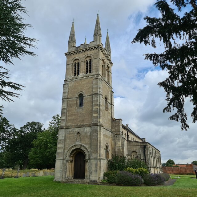
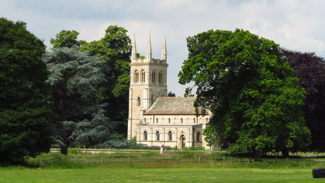
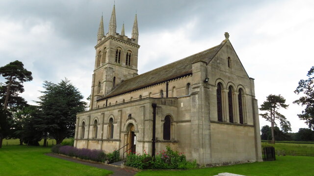
The valley is dotted with charming villages and hamlets, where visitors can immerse themselves in the local culture and hospitality. The residents of Chequer Bottoms are known for their friendly nature and welcoming attitude towards visitors, ensuring a warm and memorable experience for those who venture into this hidden gem.

Outdoor activities abound in Chequer Bottoms, with opportunities for hiking, cycling, and fishing. The valley is crisscrossed by numerous walking trails and cycle routes, offering breathtaking views and a chance to explore the surrounding countryside.

Overall, Chequer Bottoms, Nottinghamshire is a true natural gem, offering a tranquil escape from the hustle and bustle of city life. Its stunning landscapes, diverse wildlife, and warm community make it a must-visit destination for nature lovers and those seeking a peaceful retreat.

If you have any feedback on the listing, please let us know in the comments section below.

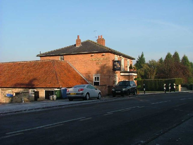
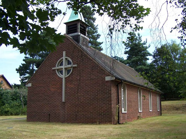
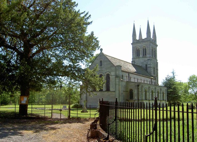
Chequer Bottoms Images

Images are sourced within 2km of 53.322713/-1.0308113 or Grid Reference SK6481. Thanks to Geograph Open Source API. All images are credited.

Tree-lined bridleway on Barnby Moor Paved to a high standard as it provides vehicle access to Scofton and nearby farms.
Tree-lined bridleway on Barnby Moor
Paved to a high standard as it provides vehicle access to Scofton and nearby farms.
Thievesdale Lane A bridleway paved to a high standard as it provides vehicle access to Scofton and nearby farms.
Thievesdale Lane
A bridleway paved to a high standard as it provides vehicle access to Scofton and nearby farms.
Mystery building in Scofton With barred windows on the ground floor, louvred shutters on the upper floor and a security camera that monitored our movements as we walked along the path to the church I wonder what's inside?
Mystery building in Scofton
With barred windows on the ground floor, louvred shutters on the upper floor and a security camera that monitored our movements as we walked along the path to the church I wonder what's inside?
A shepherd's grave In the graveyard of the church of St John.
A shepherd's grave
In the graveyard of the church of St John.
The west door of St John's Church.  Look carefully and you will see carvings of an owl and a cat at the feet of the arch - these are said to be the inspiration for Edward Lear's nonsense poem 'The Owl and the Pussycat'.
The west door of St John's Church.
Look carefully and you will see carvings of an owl and a cat at the feet of the arch - these are said to be the inspiration for Edward Lear's nonsense poem 'The Owl and the Pussycat'.
The church of St John A grade II listed parish church built in 1833 as a private chapel to Osberton Hall. My fellow geographer is apparently saying his prayers at the west door.
The church of St John
A grade II listed parish church built in 1833 as a private chapel to Osberton Hall. My fellow geographer is apparently saying his prayers at the west door.
Foljambe family graves The Foljambes, owners of the Osberton Hall estate, are buried by the east end of the church. Most of these graves are aligned east-west but two are aligned north-south. I wonder why?
Foljambe family graves
The Foljambes, owners of the Osberton Hall estate, are buried by the east end of the church. Most of these graves are aligned east-west but two are aligned north-south. I wonder why?
Track towards...  nowhere
Track towards... nowhere
Thievesdale Lane By Coachroad Plantation
Thievesdale Lane
By Coachroad Plantation
St John's, Scofton-with-Osberton
Scofton - Church of St John the Baptist
Ranby Trig Point Flush Bracket S1859
Osberton Lock Osberton Lock, number 53 and Keepers Cottage on the Chesterfield Canal at Scofton
Osberton Lock
Osberton Lock, number 53 and Keepers Cottage on the Chesterfield Canal at Scofton
Chesterfield Canal View east from Osberton Lock bridge
Chesterfield Canal
View east from Osberton Lock bridge
Chesterfield Canal at Ranby The Cottage and bridge 51 on the Chesterfield Canal at Ranby
Chesterfield Canal at Ranby
The Cottage and bridge 51 on the Chesterfield Canal at Ranby
The A1 at Ranby, Notts. Not very interesting, but it is the main feature of the square.
The A1 at Ranby, Notts.
Not very interesting, but it is the main feature of the square.
Chequers Inn Ranby Nr Retford Notts
Show me another place!

Chequer Bottoms is located at Grid Ref: SK6481 (Lat: 53.322713, Lng: -1.0308113)

Administrative County: Nottinghamshire

District: Bassetlaw

Police Authority: Nottinghamshire

What 3 Words

///announce.swarm.staked. Near Babworth, Nottinghamshire

Nearby Locations

Chequer Bottoms

Related Wikis

Ranby, Nottinghamshire

Ranby is a small village in the north of Nottinghamshire, next to the Chesterfield Canal and adjacent to the A1. It is in the civil parish of Babworth...

Scofton

Scofton is a hamlet in the Bassetlaw district of northern Nottinghamshire, England. It is 130 miles (210 km) north west of London, 25 miles (40 km) north...

RAF Worksop

Royal Air Force Worksop, or more simply RAF Worksop, is a former Royal Air Force satellite station located at Scofton, 2.8 miles (4.5 km) north east of...

HM Prison Ranby

HM Prison Ranby is a Category C men's prison, located in the village of Ranby in Nottinghamshire, England. The prison is operated by His Majesty's Prison...

Nearby Amenities

Located within 500m of 53.322713,-1.0308113
Ranby
Is In Country: UK
Is In County: Nottinghamshire
Place: village
Wikidata: Q7290760
Lat/Long: 53.3211596/-1.0238444
Bus Stop
Old Blyth Road
Bus: yes
Naptan AtcoCode: 3300BA0712
Naptan Bearing: NE
Naptan CommonName: Old Blyth Road
Naptan Indicator: NE-bound
Naptan Landmark: Chequers Inn
Naptan NaptanCode: ntsdawgd
Naptan Street: Old Blyth Road
Naptan Verified: no
Public Transport: platform
Source: naptan_import
Lat/Long: 53.3208218/-1.0241404
Bus Stop
Old Blyth Road
Bus: yes
Naptan AtcoCode: 3300BA0845
Naptan Bearing: SW
Naptan CommonName: Old Blyth Road
Naptan Indicator: SW-bound
Naptan Landmark: Chequers Inn
Naptan NaptanCode: ntsgjwja
Naptan Street: Old Blyth Road
Naptan Verified: no
Public Transport: platform
Source: naptan_import
Lat/Long: 53.3208563/-1.0239595
Pub
Chequers Inn
Lat/Long: 53.321216/-1.0242281
Crossing
Crossing: unmarked
Kerb: lowered
Lat/Long: 53.3254612/-1.0273306
Direction: SW
Generator Method: photovoltaic
Generator Output Electricity: yes
Generator Solar Modules: 12
Generator Source: solar
Generator Type: solar_photovoltaic_panel
Location: roof
Power: generator
Lat/Long: 53.3223671/-1.0255419
The data included in this document is from www.openstreetmap.org. The data is made available under ODbL.

Have you been to Chequer Bottoms?

Leave your review of Chequer Bottoms below (or comments, questions and feedback).