Cockglode Planting
Wood, Forest in Nottinghamshire Newark and Sherwood
England
Cockglode Planting

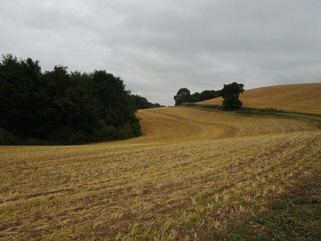
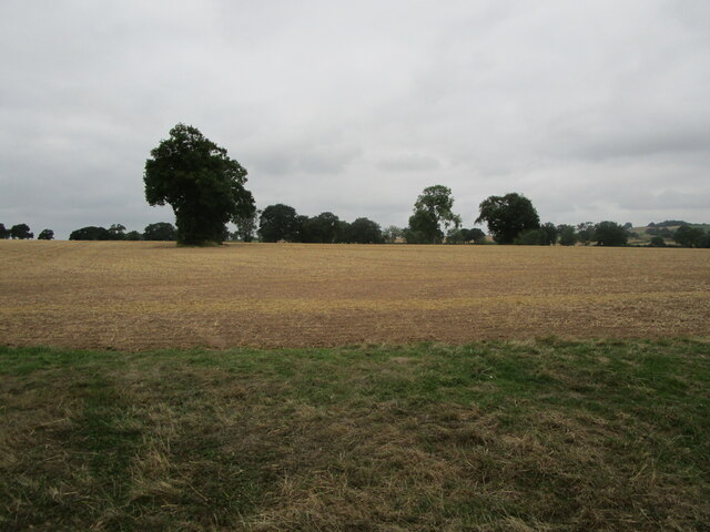
Cockglode Planting, located in Nottinghamshire, England, is a picturesque woodland area known for its natural beauty and diverse flora and fauna. Spanning over a vast expanse, the plantation is situated in the heart of Sherwood Forest, famous for its association with the legendary outlaw, Robin Hood.
This woodland is characterized by its dense canopy of mature oak, birch, and pine trees, creating a serene and tranquil atmosphere for visitors to enjoy. The woodland floor is carpeted with a rich variety of wildflowers, including bluebells, primroses, and wood anemones, adding bursts of color to the landscape during springtime.
Cockglode Planting is also home to a wide range of wildlife species. Birdwatchers can spot various avian species, such as woodpeckers, owls, and warblers, while the observant visitor may come across elusive mammals like foxes, badgers, and deer. The woodland's diverse ecosystem provides a suitable habitat for these creatures, fostering a delicate balance between predator and prey.
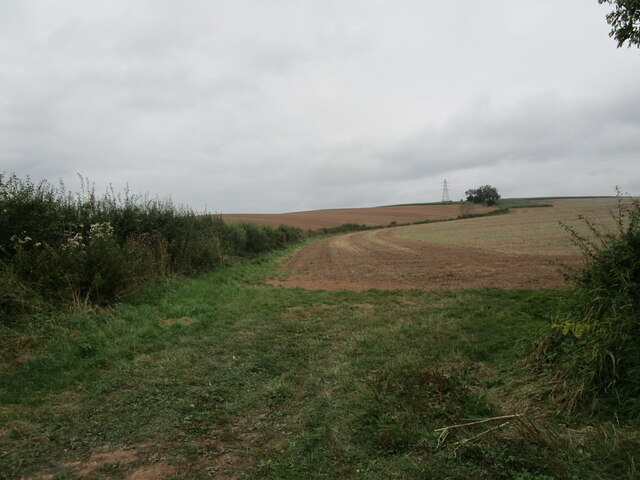
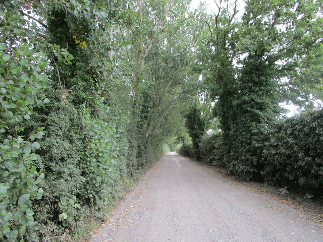
Visitors to Cockglode Planting can explore the area through a network of well-maintained walking trails, allowing them to immerse themselves in the natural surroundings. The plantation also offers picnic areas and benches for those seeking a leisurely day out. Furthermore, educational activities and guided tours are available, providing visitors with a deeper understanding of the woodland's ecological importance and historical significance.
Cockglode Planting, with its stunning woodland scenery, abundant wildlife, and recreational opportunities, is a cherished natural gem within Nottinghamshire, offering a peaceful retreat for nature enthusiasts and a chance to connect with the region's rich natural heritage.
If you have any feedback on the listing, please let us know in the comments section below.
Cockglode Planting Images
Images are sourced within 2km of 53.065813/-1.035542 or Grid Reference SK6452. Thanks to Geograph Open Source API. All images are credited.


Cockglode Planting is located at Grid Ref: SK6452 (Lat: 53.065813, Lng: -1.035542)
Administrative County: Nottinghamshire
District: Newark and Sherwood
Police Authority: Nottinghamshire
What 3 Words
///songbirds.duke.reflect. Near Farnsfield, Nottinghamshire
Nearby Locations
Related Wikis
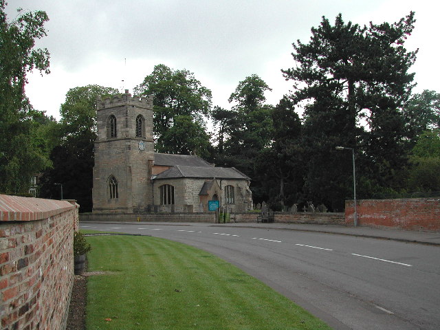
St Peter & St Paul's Church, Oxton
St Peter & St Paul's Church, Oxton is a Grade I listed parish church in the Church of England in Oxton, Nottinghamshire. == History == The church dates...
Oxton, Nottinghamshire
Oxton is a village in Nottinghamshire, England, with a 568 residents at the 2011 census. It is located 5 miles (8 km) west of Southwell, 5 miles (8 km...

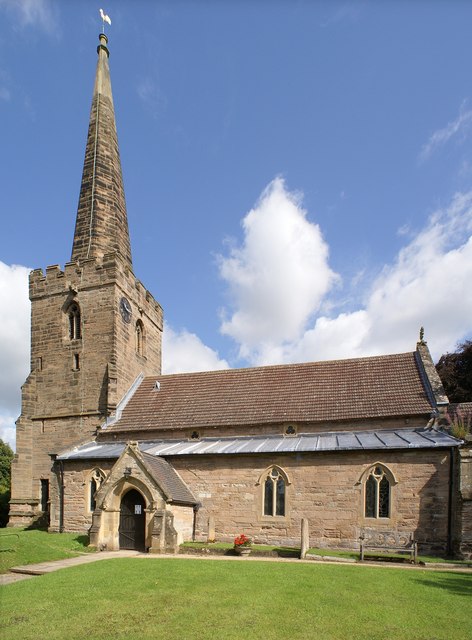
St Michael the Archangel's Church, Halam
St Michael the Archangel's Church, Halam is a Grade I listed parish church in the Church of England in Halam, Nottinghamshire. == History == St Michael...

Edingley
Edingley is a village in the Newark and Sherwood district of Nottinghamshire, England. According to the 2001 census it had a population of 390, increasing...
Halam, Nottinghamshire
Halam is a village and civil parish in the Newark and Sherwood district of Nottinghamshire, England, with a population of 372 in 2001, increasing to 426...

St Giles' Church, Edingley
St Giles' Church, Edingley is a Grade II* listed parish church in the Church of England in Edingley. == History == This is a small church dating from the...
Holy Cross Church, Epperstone
Holy Cross Church is a Grade I listed parish church in the Church of England at Epperstone in the Diocese of Southwell and Nottingham. == History == The...
Epperstone
Epperstone is an English village and civil parish in mid-Nottinghamshire, located near Lowdham and Calverton. It had a population (including Gonalston...
Related Videos


Van splashing small river crossing!!! #automobile #rivercrossing
Nice morning at Oxton vehicle travel through crossing: #youtubeshort #automobile #calverton #vehiclevideos.

The Real Milk Company & Woodfired Pizza Clange Foodie Vlog
Big thanks to The Real Milk Company #halam http://www.therealmilkcompany.com/ Antica Woodfired Pizza ...

OXTON: Newark and Sherwood Parish #66 of 84
NEWARK AND SHERWOOD PARISH #66: OXTON Welcome back to Newark and Sherwood folks as we continue our journey up ...
Nearby Amenities
Located within 500m of 53.065813,-1.035542Have you been to Cockglode Planting?
Leave your review of Cockglode Planting below (or comments, questions and feedback).