Alder Gully
Valley in Hampshire Winchester
England
Alder Gully
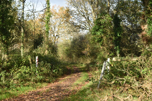
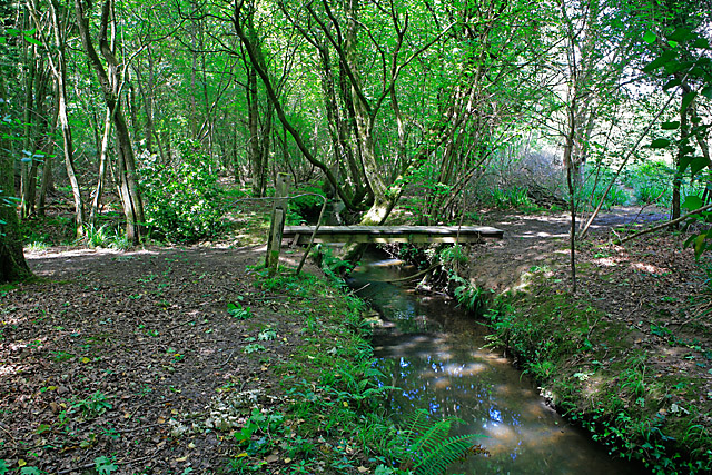
Alder Gully is a picturesque valley located in Hampshire, England. Situated on the outskirts of the village of Alder, this natural gem offers a stunning landscape and a peaceful retreat for nature lovers. The gully is formed by the Alder River, which meanders through the valley, creating a serene and tranquil environment.
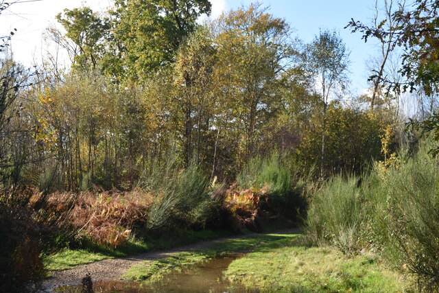
The valley is characterized by its lush greenery and abundant wildlife. Tall, ancient alder trees line the banks of the river, providing shade and adding to the beauty of the surroundings. The gully is particularly known for its vibrant bird population, attracting birdwatchers from far and wide. Species such as kingfishers, herons, and even the rare osprey have been spotted in the area.
Alder Gully is also home to a diverse range of plant life. Wildflowers, including bluebells, primroses, and foxgloves, bloom in the spring, painting the valley with vivid colors. The rich biodiversity of the area has led to the designation of Alder Gully as a Site of Special Scientific Interest (SSSI), ensuring its preservation for future generations.
For visitors, there are several walking trails that wind through the valley, offering breathtaking views and the chance to immerse oneself in the tranquility of nature. The gully is a popular spot for picnics and photography, providing countless opportunities to capture the beauty of the landscape.
A trip to Alder Gully promises an escape from the hustle and bustle of everyday life, allowing visitors to reconnect with nature and enjoy the serenity of this idyllic valley. Whether you are a bird enthusiast, a nature lover, or simply seeking a peaceful retreat, Alder Gully is sure to captivate your senses and leave a lasting impression.
If you have any feedback on the listing, please let us know in the comments section below.
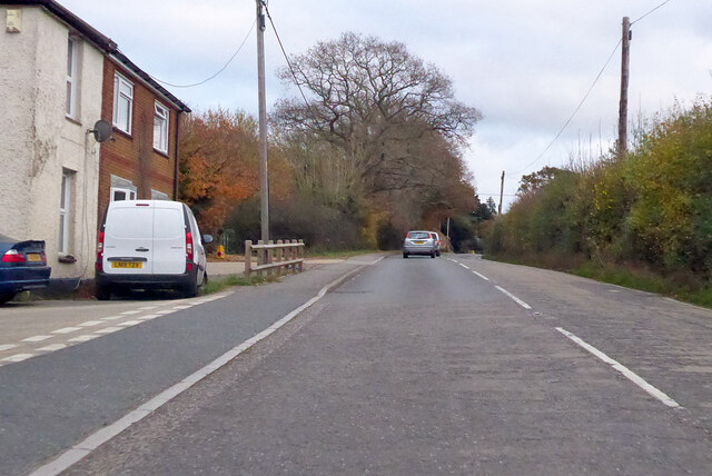
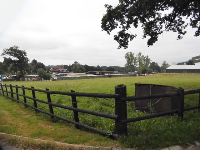
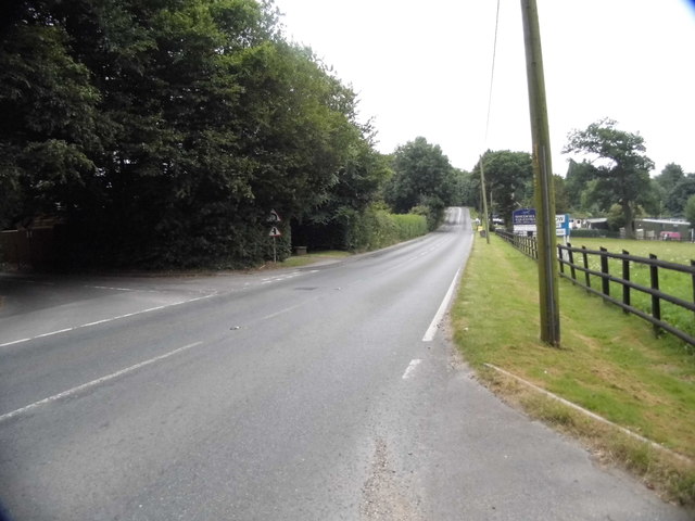
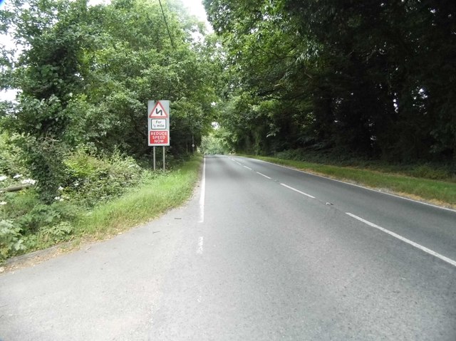
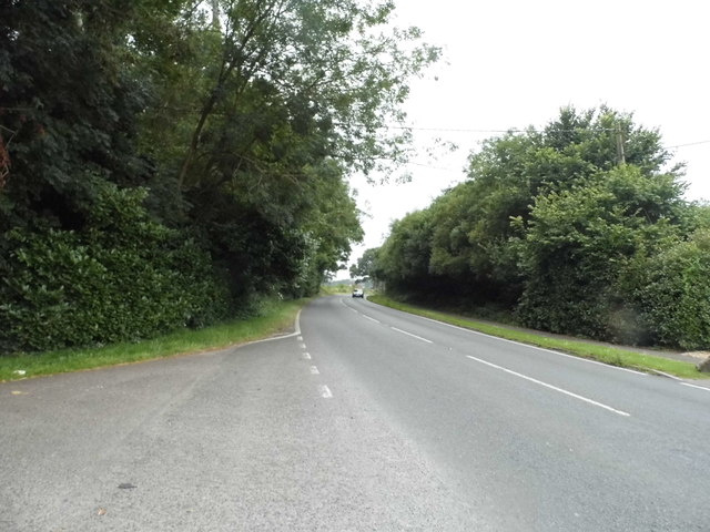
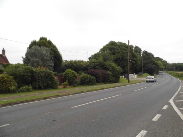
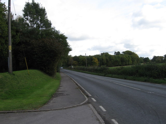
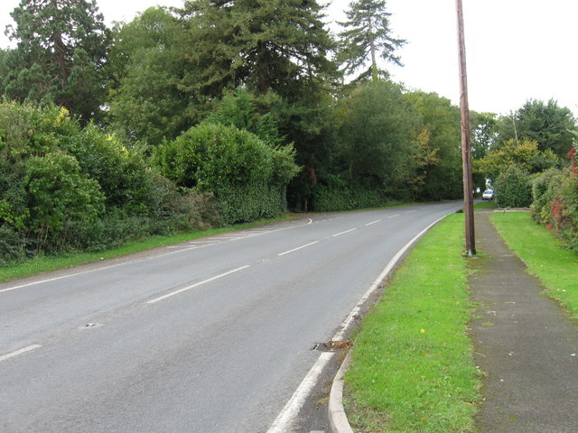
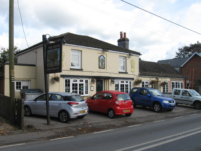
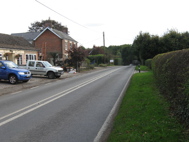
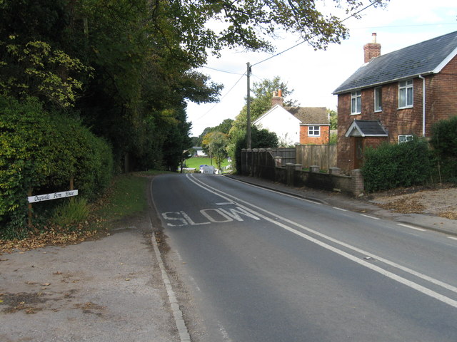
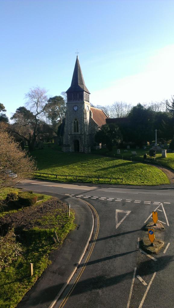
Alder Gully Images
Images are sourced within 2km of 50.902311/-1.221092 or Grid Reference SU5411. Thanks to Geograph Open Source API. All images are credited.
Alder Gully is located at Grid Ref: SU5411 (Lat: 50.902311, Lng: -1.221092)
Administrative County: Hampshire
District: Winchester
Police Authority: Hampshire
What 3 Words
///kickers.relished.broad. Near Wickham, Hampshire
Nearby Locations
Related Wikis

Shedfield
Shedfield is a village and civil parish in the City of Winchester district of Hampshire, England. In the 2001 UK Census, Shedfield had a population of...
Botley Wood and Everett's and Mushes Copses
Botley Wood and Everett's and Mushes Copses is a 352.7-hectare (872-acre) biological Site of Special Scientific Interest north of Fareham in Hampshire...
Wickham, Hampshire
Wickham () is a large village in the civil parish of Wickham and Knowle, in the Winchester district, in the county of Hampshire, England. It is about 3...

Curbridge, Hampshire
Curbridge is a village and former civil parish, now in the parish of Curdridge, in the Winchester district, in the county of Hampshire, England. In 1951...

Knowle, Hampshire
Knowle is a village with mainly 21st century shops and businesses in the civil parish of Wickham and Knowle, in the Winchester district of Hampshire, England...

Knowle Halt railway station
Knowle Halt was a railway station in the county of Hampshire in England. It was served by trains on the Eastleigh to Fareham and Meon Valley lines. The...
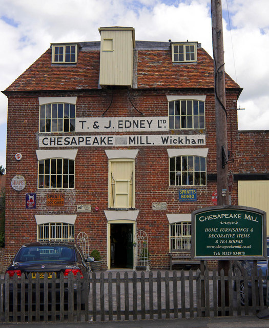
Chesapeake Mill
The Chesapeake Mill is a watermill in Wickham, Hampshire, England. The flour mill was constructed in 1820 using the timbers of HMS Chesapeake, which had...

New Place, Shirrell Heath
New Place, Shirrell Heath, Shedfield, Hampshire, England, is a former county house, now a hotel, designed by Edwin Lutyens. It is a Grade I listed building...
Nearby Amenities
Located within 500m of 50.902311,-1.221092Have you been to Alder Gully?
Leave your review of Alder Gully below (or comments, questions and feedback).