Hyde End Gully

Valley in Berkshire

England

Hyde End Gully

B3051, Ashford Hill From Kingsclere towards Aldermaston. The sign on the left is intended to warn of a skid hazard, but not doing a very good job of it.
B3051, Ashford Hill Credit: Robin Webster

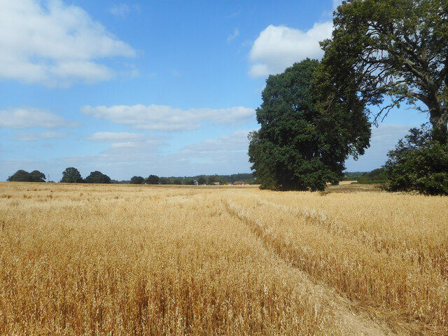
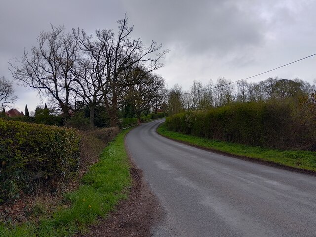
Hyde End Gully is a picturesque valley located in Berkshire, England. Nestled amidst the rolling hills of the Berkshire Downs, the gully stretches for approximately 2 miles, boasting an array of stunning natural features and diverse wildlife.

The valley is known for its lush greenery, with dense woodlands covering the slopes on either side. The gully is flanked by towering chalk cliffs, adding to the dramatic beauty of the landscape. The valley floor is traversed by a small stream, which meanders its way through the foliage, creating tranquil cascades and pools along its course.

Hyde End Gully is a haven for nature enthusiasts, offering a rich variety of plant and animal life. The woodlands are home to a myriad of bird species, including woodpeckers, owls, and songbirds, making it a popular spot for birdwatching. The gully also supports a diverse range of flora, with wildflowers, ferns, and mosses thriving in the shaded areas.

For those seeking outdoor activities, Hyde End Gully provides excellent opportunities for hiking and nature walks. There are several well-marked trails that wind through the valley, offering breathtaking views of the surrounding countryside. The gully is also a popular spot for picnicking, allowing visitors to relax and enjoy the tranquility of the surroundings.

Overall, Hyde End Gully is a hidden gem in Berkshire, combining natural beauty, diverse wildlife, and recreational opportunities. It is a must-visit destination for anyone looking to escape the hustle and bustle of everyday life and immerse themselves in the serenity of nature.

If you have any feedback on the listing, please let us know in the comments section below.

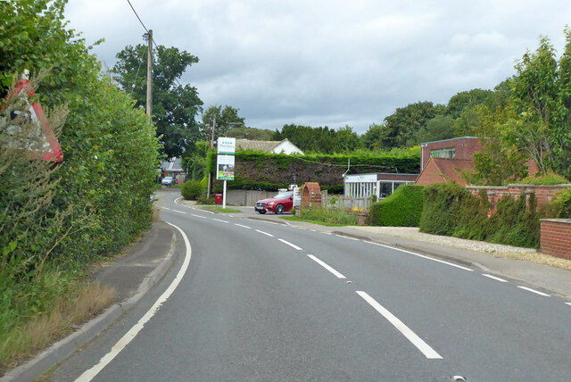
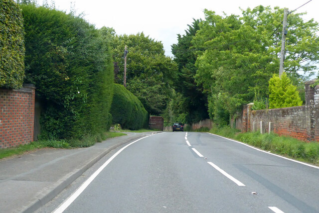
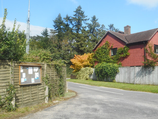
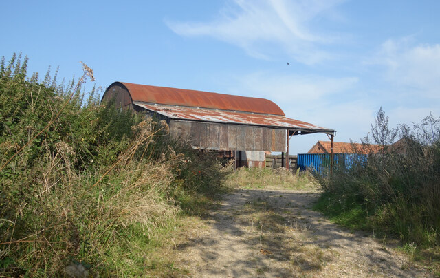
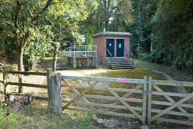
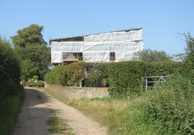
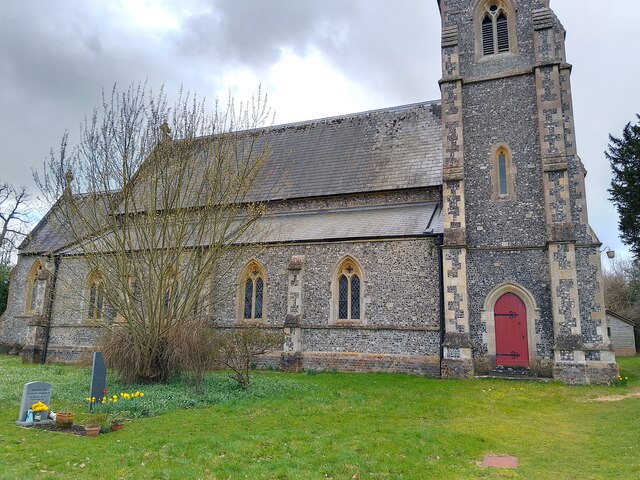
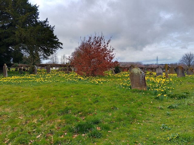
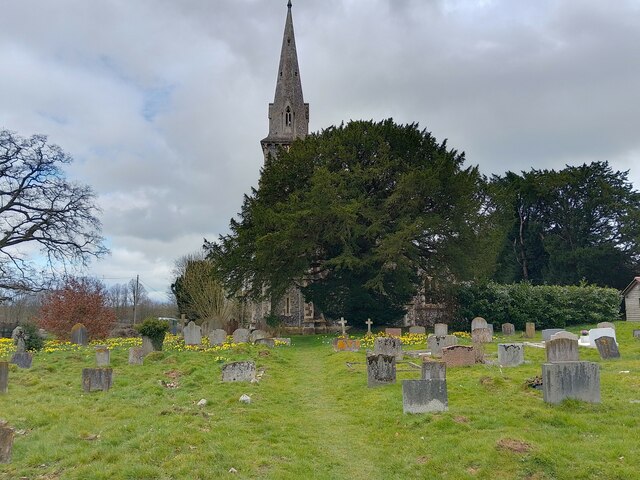
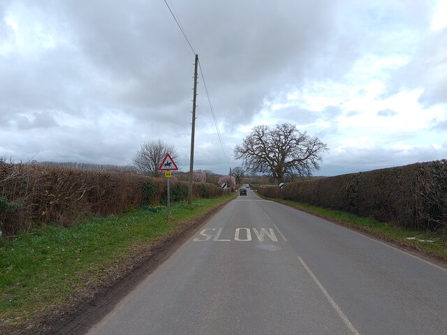
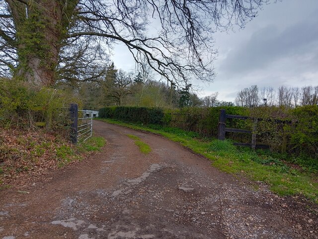
Hyde End Gully Images

Images are sourced within 2km of 51.369152/-1.214579 or Grid Reference SU5463. Thanks to Geograph Open Source API. All images are credited.

B3051, Ashford Hill From Kingsclere towards Aldermaston. The sign on the left is intended to warn of a skid hazard, but not doing a very good job of it.
B3051, Ashford Hill
From Kingsclere towards Aldermaston. The sign on the left is intended to warn of a skid hazard, but not doing a very good job of it.
B3051, Ashford Hill From Kingsclere towards Aldermaston.
B3051, Ashford Hill
From Kingsclere towards Aldermaston.
B3051 towards Aldermaston
Parish Notices, Hyde End Lane Between Brimpton and Crookham is a group of houses around the junction of Crookham Common Road and Hyde End Lane. A Brimpton Parish Council notice board is on the back fence of a house on the corner.
Parish Notices, Hyde End Lane
Between Brimpton and Crookham is a group of houses around the junction of Crookham Common Road and Hyde End Lane. A Brimpton Parish Council notice board is on the back fence of a house on the corner.
A Field of Oats, Kingsclere Woodlands
Barn at Upper Hyde End Farm In the SW corner of SU5564 towards the end of Hyde End Lane before it becomes a track.
Barn at Upper Hyde End Farm
In the SW corner of SU5564 towards the end of Hyde End Lane before it becomes a track.
Hyde End Pumping Station A pumping station belonging to the Environment Agency. It is for river flow augmentation when water levels get too low in the River Enborne. 
Water can be pumped into the river from a borehole.
Hyde End Pumping Station
A pumping station belonging to the Environment Agency. It is for river flow augmentation when water levels get too low in the River Enborne. Water can be pumped into the river from a borehole.
Hyde End Farm Under Wraps Impossible to see what's going on here, but it looks serious.
Hyde End Farm Under Wraps
Impossible to see what's going on here, but it looks serious.
Back Lane junction to Brimpton Lane The junction of Back Lane on Brimpton Lane, from the verge.
Back Lane junction to Brimpton Lane
The junction of Back Lane on Brimpton Lane, from the verge.
St Paul's Church A church in Ashford Hill, off Ashford Hill Road. The path across the grass here is not very often used, with a car park and the main entrance round the rear of the church.

The church is Victorian Gothic, built in 1845. It is a grade II listed building, list entry number 1166766 <span class="nowrap"><a title="https://historicengland.org.uk/listing/the-list/list-entry/1166766?section=official-list-entry" rel="nofollow ugc noopener" href="https://historicengland.org.uk/listing/the-list/list-entry/1166766?section=official-list-entry">Link</a><img style="margin-left:2px;" alt="External link" title="External link - shift click to open in new window" src="https://s1.geograph.org.uk/img/external.png" width="10" height="10"/></span>
St Paul's Church
A church in Ashford Hill, off Ashford Hill Road. The path across the grass here is not very often used, with a car park and the main entrance round the rear of the church. The church is Victorian Gothic, built in 1845. It is a grade II listed building, list entry number 1166766 LinkExternal link
St Paul's Church graveyard The graveyard is covered in daffodils at this time of year. A path runs through the grass.
St Paul's Church graveyard
The graveyard is covered in daffodils at this time of year. A path runs through the grass.
St Paul's Church graveyard An area of the graveyard near to the church.
St Paul's Church graveyard
An area of the graveyard near to the church.
St Paul's Church Looking at the main tower on the east face of the church from the path through the graveyard. The church is rather hidden by a large tree from this angle.

The church is Victorian Gothic, built in 1845. It is a grade II listed building, list entry number 1166766 <span class="nowrap"><a title="https://historicengland.org.uk/listing/the-list/list-entry/1166766?section=official-list-entry" rel="nofollow ugc noopener" href="https://historicengland.org.uk/listing/the-list/list-entry/1166766?section=official-list-entry">Link</a><img style="margin-left:2px;" alt="External link" title="External link - shift click to open in new window" src="https://s1.geograph.org.uk/img/external.png" width="10" height="10"/></span>
St Paul's Church
Looking at the main tower on the east face of the church from the path through the graveyard. The church is rather hidden by a large tree from this angle. The church is Victorian Gothic, built in 1845. It is a grade II listed building, list entry number 1166766 LinkExternal link
St Paul's Church and war memorial Looking at St Paul's Church past the war memorial commemorating those lost in WWI and WWII. The graveyard can be seen behind the memorial.

The church is Victorian Gothic, built in 1845. It is a grade II listed building, list entry number 1166766 <span class="nowrap"><a title="https://historicengland.org.uk/listing/the-list/list-entry/1166766?section=official-list-entry" rel="nofollow ugc noopener" href="https://historicengland.org.uk/listing/the-list/list-entry/1166766?section=official-list-entry">Link</a><img style="margin-left:2px;" alt="External link" title="External link - shift click to open in new window" src="https://s1.geograph.org.uk/img/external.png" width="10" height="10"/></span>
St Paul's Church and war memorial
Looking at St Paul's Church past the war memorial commemorating those lost in WWI and WWII. The graveyard can be seen behind the memorial. The church is Victorian Gothic, built in 1845. It is a grade II listed building, list entry number 1166766 LinkExternal link
Ashford Hill Road Looking towards Goose Hill on Ashford Hill Road, from near to St Paul's Church.
Ashford Hill Road
Looking towards Goose Hill on Ashford Hill Road, from near to St Paul's Church.
Driveway off Ashford Hill Road A driveway off Ashford Hill Road, near Goose Hill.
Driveway off Ashford Hill Road
A driveway off Ashford Hill Road, near Goose Hill.
Ashford Hill Road Ashford Hill Road is the main road between Headley at the A339 and Ashford Hill at the B3051 (Little Knowl Hill).
Ashford Hill Road
Ashford Hill Road is the main road between Headley at the A339 and Ashford Hill at the B3051 (Little Knowl Hill).
Oakfield Lane, Ashford Hill Oakfield Lane is a private road in Ashford Hill, with relatively new build houses.
Oakfield Lane, Ashford Hill
Oakfield Lane is a private road in Ashford Hill, with relatively new build houses.
Show me another place!

Hyde End Gully is located at Grid Ref: SU5463 (Lat: 51.369152, Lng: -1.214579)

Unitary Authority: West Berkshire

Police Authority: Thames Valley

What 3 Words

///invisible.tribe.bedroom. Near Thatcham, Berkshire

Related Wikis

Hyde End, Berkshire

Hyde End is a small hamlet in Berkshire, England, and part of the civil parish of Brimpton. The settlement lies south of the A4 road and approximately...

Crookham, Berkshire

Crookham is a dispersed hamlet in the English county of Berkshire, and part of the civil parish of Thatcham. == Geography == The settlement lies near...

Brimpton

Brimpton is a mostly rural village and civil parish in West Berkshire, England. Brimpton is centred 4.5 miles (7.2 km) ESE of the town of Newbury. ��2...

Shalford Preceptory

Shalford Preceptory was a preceptory of Knights Hospitaller at Shalford in the civil parish of Brimpton in the English county of Berkshire. It was established...

Ashford Hill with Headley

Ashford Hill with Headley is a civil parish in the Basingstoke and Deane district of Hampshire, England. The parish includes Ashford Hill, Plastow Green...

Ashford Hill

Ashford Hill is a village in Basingstoke and Deane, Hampshire, England. == Governance == The village of Ashford Hill is part of the civil parish of Ashford...

Brimpton Common

Brimpton Common is a hamlet in Berkshire, England. It is part of Brimpton Parish, and part of the Benefice of Aldermaston and Woolhampton in the Diocese...

Brimpton Pit

Brimpton Pit is a 1.6-hectare (4.0-acre) geological Site of Special Scientific Interest west of Aldermaston in Berkshire. It is a Geological Conservation...

Related Videos

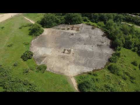
Greenham Common - former RAF Base - England

On the 1st of August 2021, I flew over the former RAF base in Greenham Common, UK. The structure you can see in this video is ...

Nearby Amenities

Located within 500m of 51.369152,-1.214579
Power: tower
Lat/Long: 51.3727616/-1.2106803
Power: tower
Lat/Long: 51.3698279/-1.2113012
Power: tower
Lat/Long: 51.3667643/-1.211934
The data included in this document is from www.openstreetmap.org. The data is made available under ODbL.

Have you been to Hyde End Gully?

Leave your review of Hyde End Gully below (or comments, questions and feedback).