Dean's Bottom
Valley in Berkshire South Oxfordshire
England
Dean's Bottom

Dean's Bottom is a picturesque valley located in the county of Berkshire, England. Situated in the southern part of the county, it is nestled within the larger Chiltern Hills Area of Outstanding Natural Beauty. The valley is named after the nearby village of Dean, which lies to the east of the bottom.
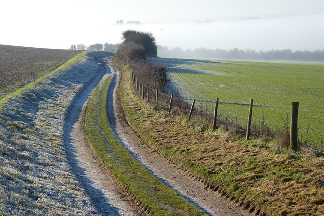
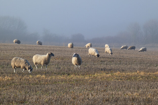
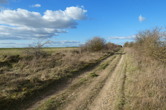
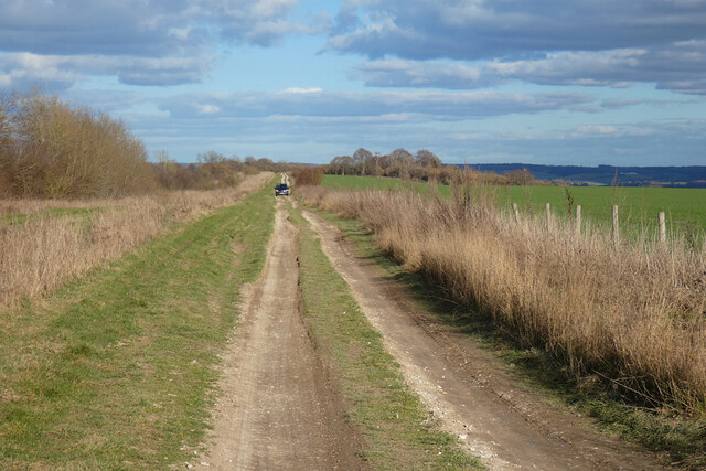
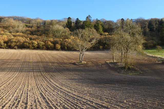
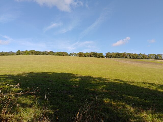
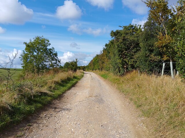
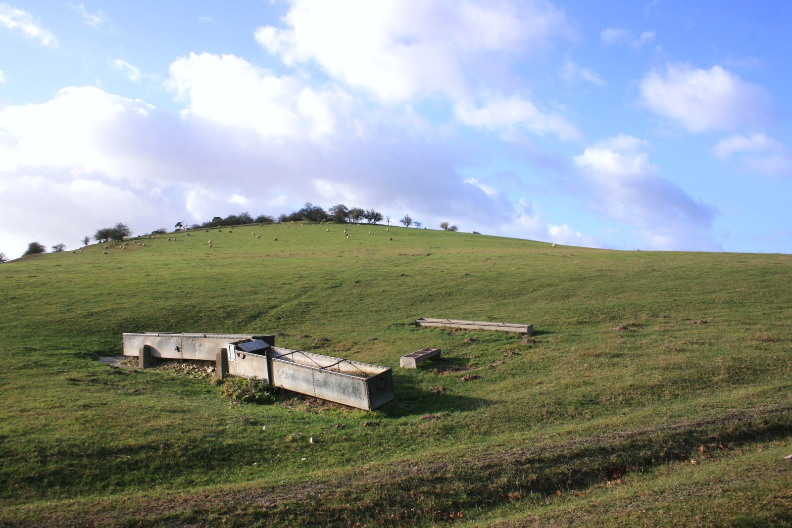
Characterized by its rolling green hills and tranquil atmosphere, Dean's Bottom offers visitors a serene escape from the hustle and bustle of urban life. The valley is primarily farmland, with lush pastures and fields stretching as far as the eye can see. It is renowned for its scenic beauty, attracting nature enthusiasts, hikers, and photographers throughout the year.
The landscape of Dean's Bottom is dominated by a meandering river that winds its way through the valley. The river serves as a vital water source for the surrounding agricultural activities and supports a diverse range of flora and fauna. Visitors can enjoy peaceful walks along the riverbanks, taking in the soothing sounds of flowing water and immersing themselves in the stunning natural surroundings.
In addition to its natural beauty, Dean's Bottom also boasts a rich history. The valley has been inhabited since ancient times, and remnants of prehistoric settlements can still be found in the area. The nearby village of Dean is home to several historic buildings, including a charming church that dates back to the 12th century.
Overall, Dean's Bottom is a hidden gem in Berkshire, offering visitors a tranquil and scenic retreat amidst the stunning beauty of the Chiltern Hills. Its combination of natural splendor and historical significance make it a must-visit destination for those seeking a peaceful and enriching experience in the heart of England's countryside.
If you have any feedback on the listing, please let us know in the comments section below.
Dean's Bottom Images
Images are sourced within 2km of 51.537298/-1.2120496 or Grid Reference SU5482. Thanks to Geograph Open Source API. All images are credited.


Dean's Bottom is located at Grid Ref: SU5482 (Lat: 51.537298, Lng: -1.2120496)
Administrative County: Oxfordshire
District: South Oxfordshire
Police Authority: Thames Valley
What 3 Words
///screamed.blows.goofy. Near Blewbury, Oxfordshire
Nearby Locations
Related Wikis

Battle of Ashdown
The Battle of Ashdown was a West Saxon victory over a Danish Viking army on about 8 January 871. The location of Ashdown is not known, but may be Kingstanding...

Aston Upthorpe Downs
Aston Upthorpe Downs is a 38.5-hectare (95-acre) biological Site of Special Scientific Interest south of Aston Upthorpe in Oxfordshire. It is a Nature...

Streatley Warren
Streatley Warren is a 31.3-hectare (77-acre) biological Site of Special Scientific Interest west of Streatley in Berkshire. It is in the North Wessex Downs...
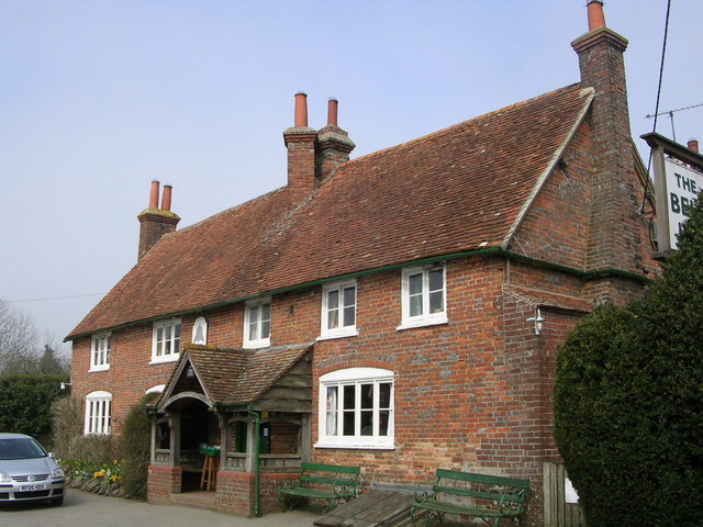
The Bell Inn, Aldworth
The Bell Inn is a pub at the village of Aldworth, in the English county of West Berkshire. It won CAMRA's National Pub of the Year in 1990, and received...
Moulsford Downs
Moulsford Downs is a 13.6-hectare (34-acre) biological Site of Special Scientific Interest north-west of Goring-on-Thames in Oxfordshire.This chalk grassland...
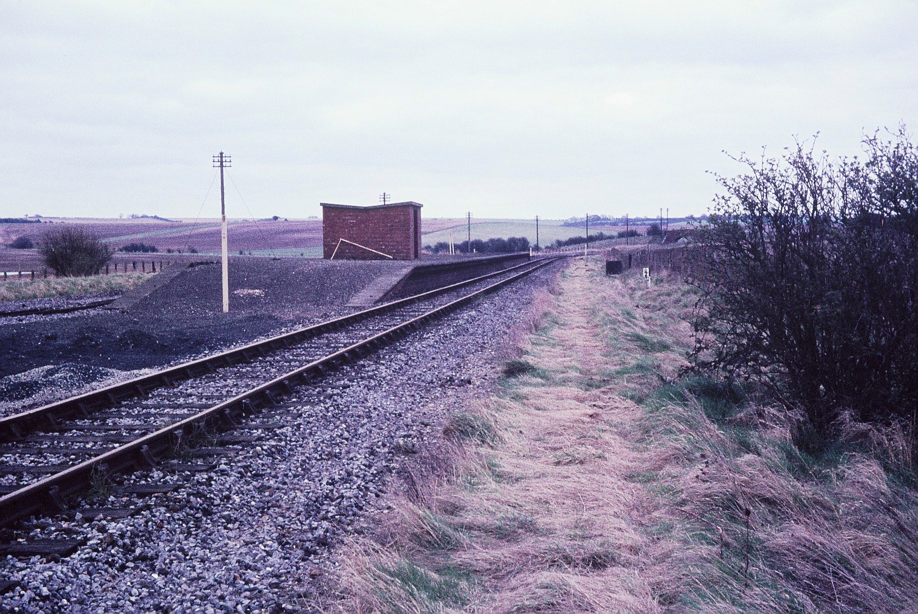
Churn railway station
Churn railway station was a station on the Didcot, Newbury and Southampton Railway in England. It served Churn Down, a remote part of the Berkshire Downs...

Aldworth
Aldworth is a village and mainly farmland civil parish in the English county of Berkshire, near the boundary with Oxfordshire. == Orthography and slight... ==
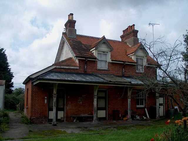
Compton railway station
Compton railway station was a station on the Didcot, Newbury and Southampton Railway in England. Compton was the largest station between Newbury, Berkshire...
Have you been to Dean's Bottom?
Leave your review of Dean's Bottom below (or comments, questions and feedback).