Aston Upthorpe Downs
Downs, Moorland in Berkshire South Oxfordshire
England
Aston Upthorpe Downs
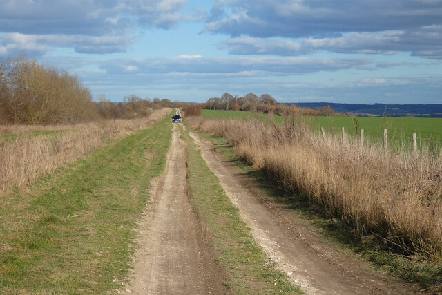
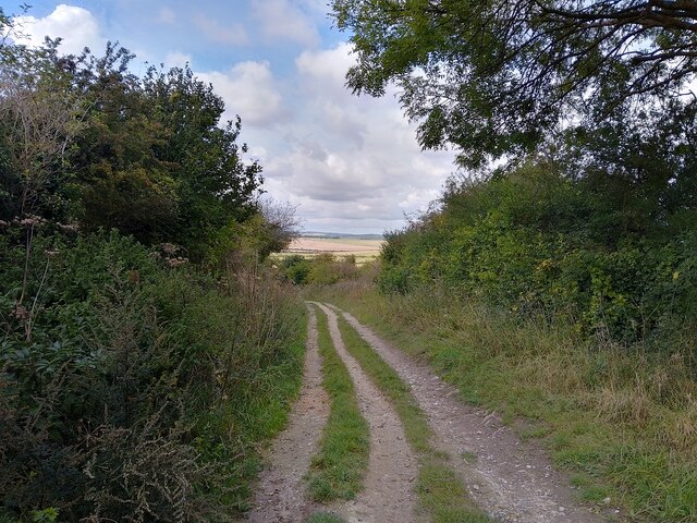
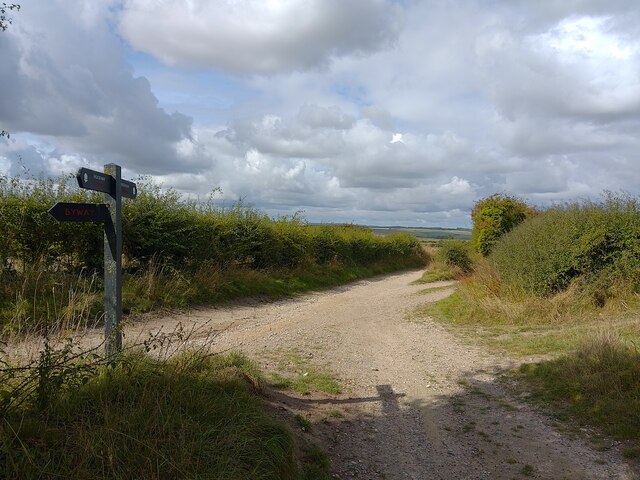
Aston Upthorpe Downs is a picturesque area located in Berkshire, England. It is a prominent example of downs and moorland landscape, covering an extensive area of approximately 200 acres. The downs are situated within the North Wessex Downs Area of Outstanding Natural Beauty, adding to its charm and significance.
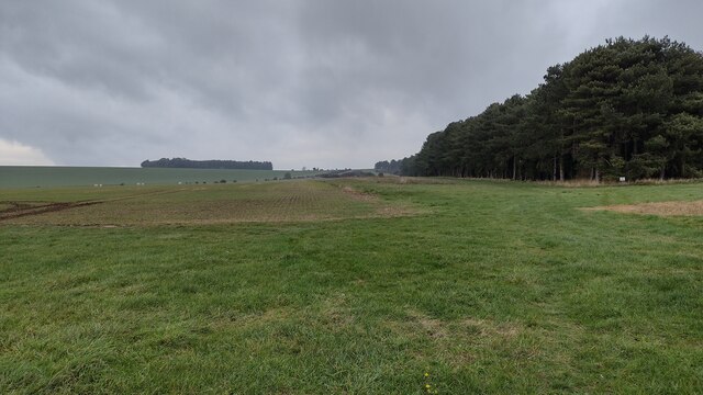
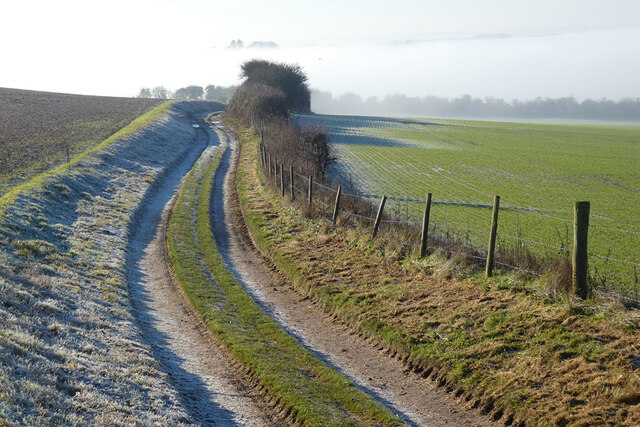
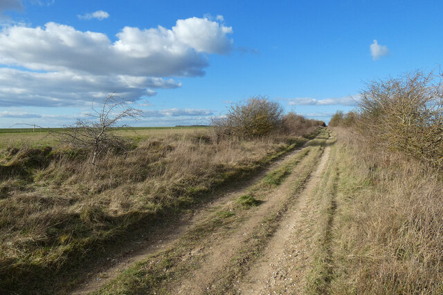
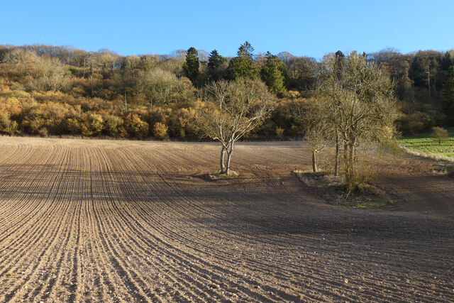
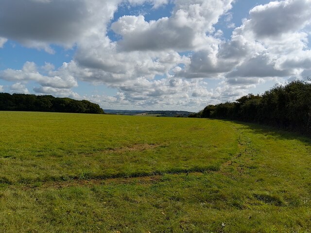
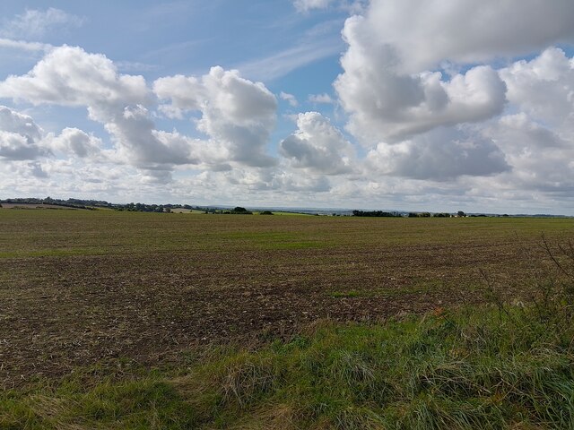
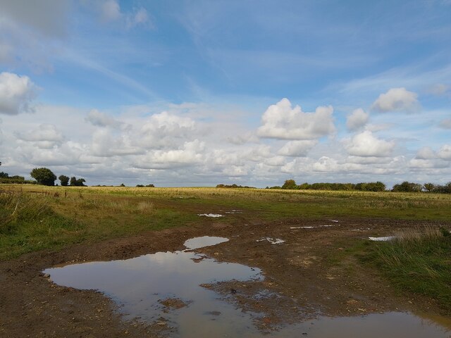
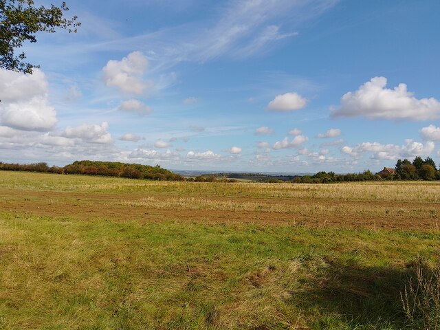
The landscape of Aston Upthorpe Downs is characterized by gently rolling hills and expansive open spaces, providing breathtaking panoramic views of the surrounding countryside. The downs are predominantly covered with a variety of grass species, interspersed with patches of heather and gorse, creating a diverse and vibrant ecosystem.
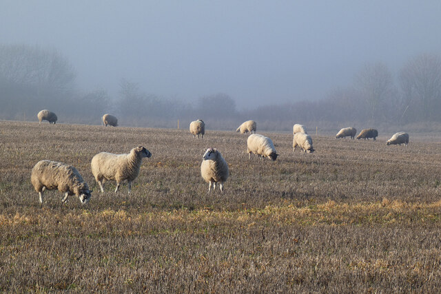
The area is home to a rich array of wildlife, including rare and protected species. Bird enthusiasts can spot a multitude of species, such as skylarks, meadow pipits, and kestrels, soaring across the skies. The downs also provide a habitat for various butterflies, including the striking marbled white and the colorful common blue.
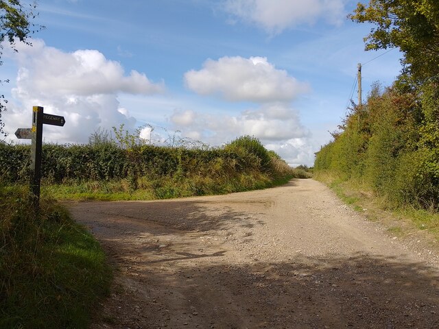
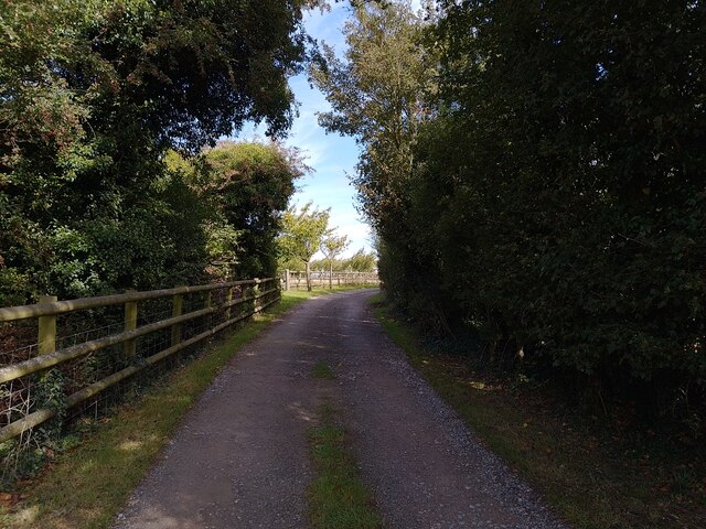
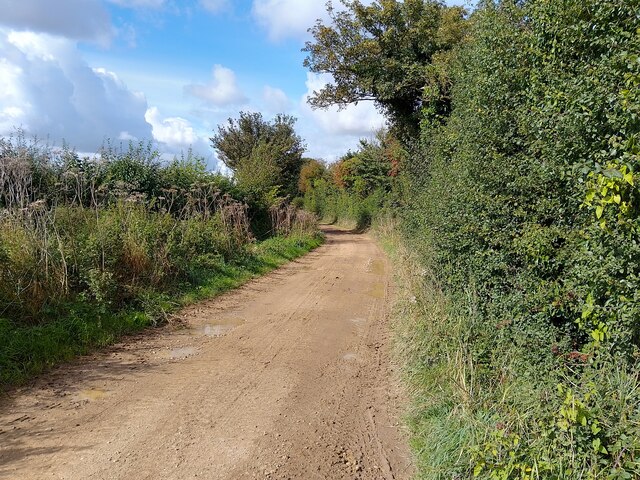
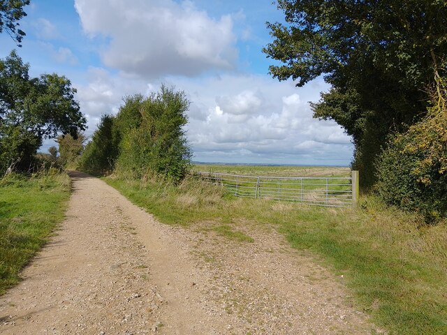
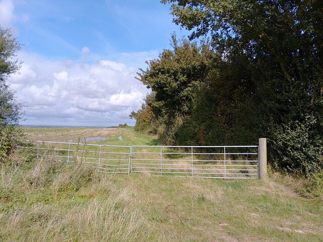
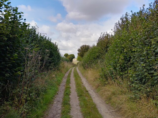
Aston Upthorpe Downs is a popular destination for outdoor enthusiasts. The area offers numerous walking trails, allowing visitors to explore its natural beauty at their own pace. Additionally, the downs are a haven for nature photographers, providing ample opportunities to capture stunning images of the landscape and its inhabitants.
The downs are managed by a local conservation organization, ensuring the preservation of this precious natural resource. Aston Upthorpe Downs, Berkshire, with its idyllic scenery and diverse wildlife, offers a tranquil retreat for those seeking to immerse themselves in the wonders of nature.
If you have any feedback on the listing, please let us know in the comments section below.
Aston Upthorpe Downs Images
Images are sourced within 2km of 51.542447/-1.2224295 or Grid Reference SU5482. Thanks to Geograph Open Source API. All images are credited.
Aston Upthorpe Downs is located at Grid Ref: SU5482 (Lat: 51.542447, Lng: -1.2224295)
Administrative County: Oxfordshire
District: South Oxfordshire
Police Authority: Thames Valley
What 3 Words
///wired.gifts.circle. Near Blewbury, Oxfordshire
Nearby Locations
Related Wikis

Aston Upthorpe Downs
Aston Upthorpe Downs is a 38.5-hectare (95-acre) biological Site of Special Scientific Interest south of Aston Upthorpe in Oxfordshire. It is a Nature...

Battle of Ashdown
The Battle of Ashdown was a West Saxon victory over a Danish Viking army on about 8 January 871. The location of Ashdown is not known, but may be Kingstanding...
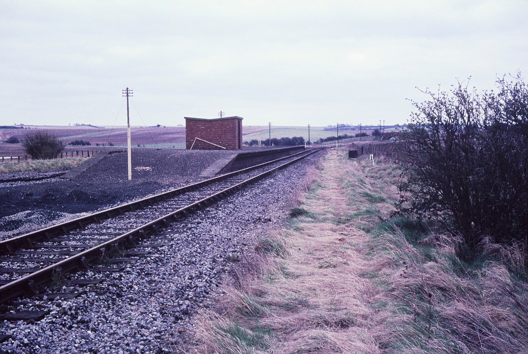
Churn railway station
Churn railway station was a station on the Didcot, Newbury and Southampton Railway in England. It served Churn Down, a remote part of the Berkshire Downs...

Streatley Warren
Streatley Warren is a 31.3-hectare (77-acre) biological Site of Special Scientific Interest west of Streatley in Berkshire. It is in the North Wessex Downs...

Blewbury
Blewbury is a village and civil parish at the foot of the Berkshire Downs section of the North Wessex Downs about 4 miles (6.4 km) south of Didcot, 14...

Blewburton Hill
Blewburton Hill is the site of an Iron Age hillfort located in Oxfordshire, in the southeast of England. It was a univallate hillfort (with a single rampart...
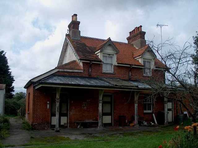
Compton railway station
Compton railway station was a station on the Didcot, Newbury and Southampton Railway in England. Compton was the largest station between Newbury, Berkshire...

Aston Tirrold
Aston Tirrold is a village and civil parish at the foot of the Berkshire Downs about 3 miles (5 km) southeast of Didcot. It was part of Berkshire until...
Have you been to Aston Upthorpe Downs?
Leave your review of Aston Upthorpe Downs below (or comments, questions and feedback).