Alder Moor
Wood, Forest in Hampshire Winchester
England
Alder Moor
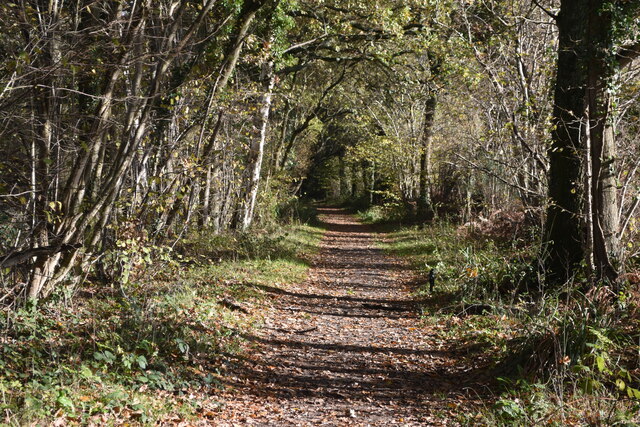
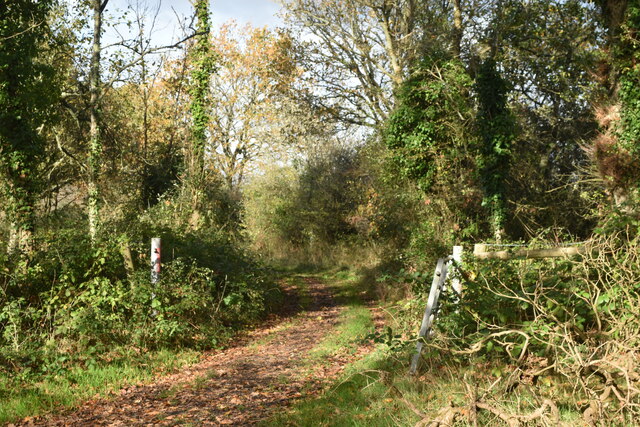
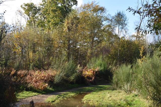
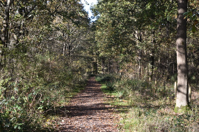
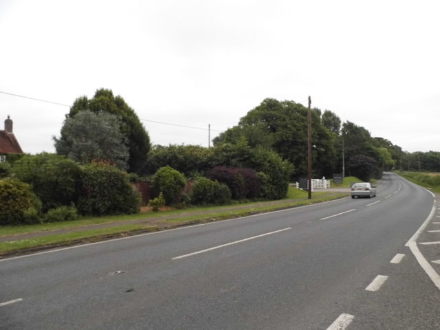
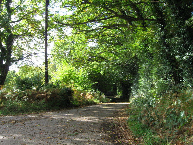
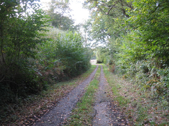
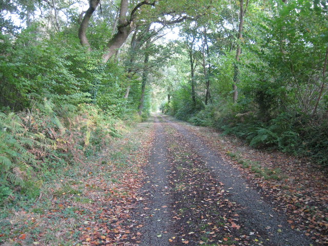
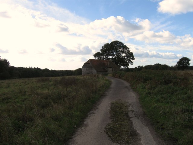
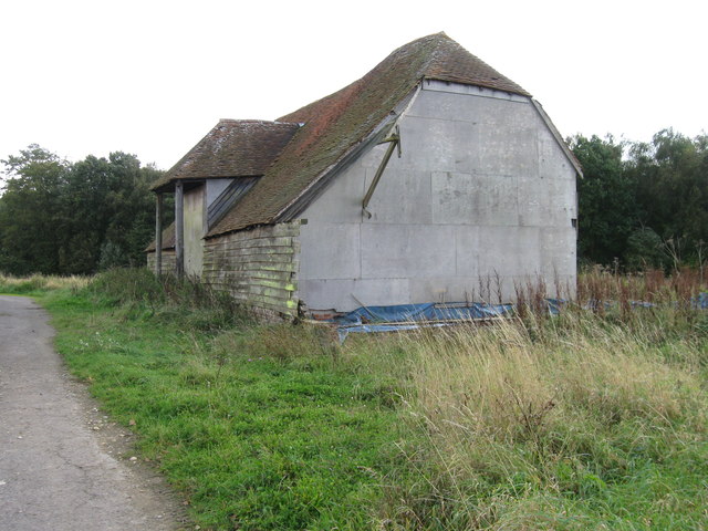
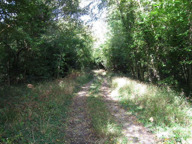
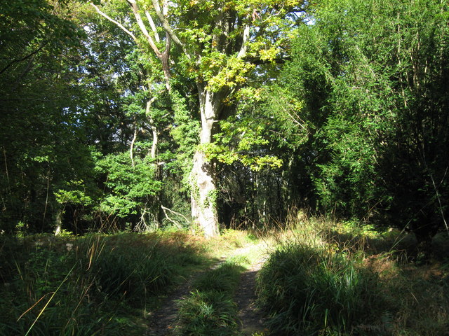
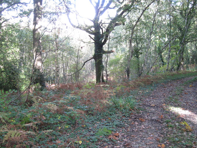
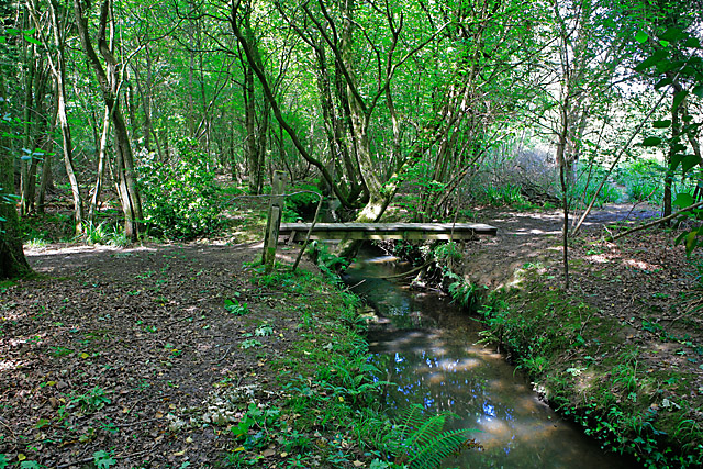
Alder Moor, located in Hampshire, is a picturesque woodland area known for its rich biodiversity and serene environment. Covering an approximate area of 200 hectares, the moor is primarily characterized by a dense forest dominated by alder trees, which give the area its name. Situated within the New Forest National Park, Alder Moor is a designated Site of Special Scientific Interest (SSSI) due to its diverse range of flora and fauna.
The moor is home to a plethora of plant species, including mosses, ferns, and wildflowers, which thrive in the damp and shaded environment provided by the dense tree cover. The presence of alder trees creates a unique habitat for various bird species, such as woodpeckers, owls, and warblers, making it a popular spot for birdwatchers.
The forest floor is also teeming with wildlife, with sightings of deer, rabbits, and squirrels being common. Additionally, the moor serves as a sanctuary for several rare insect species, including the silver-washed fritillary butterfly and the stag beetle.
Alder Moor offers a range of recreational activities for visitors, including walking trails, nature photography, and picnicking. The well-maintained footpaths allow visitors to explore the woodland and appreciate its natural beauty. The moor is also a popular location for educational visits and research, with researchers studying the various ecological processes and conservation efforts being carried out.
Overall, Alder Moor in Hampshire is a captivating woodland area that provides a tranquil escape for nature enthusiasts, while also serving as an important habitat for a diverse range of plant and animal species.
If you have any feedback on the listing, please let us know in the comments section below.
Alder Moor Images
Images are sourced within 2km of 50.899201/-1.2240448 or Grid Reference SU5411. Thanks to Geograph Open Source API. All images are credited.

Alder Moor is located at Grid Ref: SU5411 (Lat: 50.899201, Lng: -1.2240448)
Administrative County: Hampshire
District: Winchester
Police Authority: Hampshire
What 3 Words
///impeached.tadpole.masters. Near Wickham, Hampshire
Nearby Locations
Related Wikis
Botley Wood and Everett's and Mushes Copses
Botley Wood and Everett's and Mushes Copses is a 352.7-hectare (872-acre) biological Site of Special Scientific Interest north of Fareham in Hampshire...

Shedfield
Shedfield is a village and civil parish in the City of Winchester district of Hampshire, England. In the 2001 UK Census, Shedfield had a population of...

Curbridge, Hampshire
Curbridge is a village and former civil parish, now in the parish of Curdridge, in the Winchester district, in the county of Hampshire, England. In 1951...

Knowle Halt railway station
Knowle Halt was a railway station in the county of Hampshire in England. It was served by trains on the Eastleigh to Fareham and Meon Valley lines. The...

Knowle, Hampshire
Knowle is a village with mainly 21st century shops and businesses in the civil parish of Wickham and Knowle, in the Winchester district of Hampshire, England...
College of Air Traffic Control
The College of Air Traffic Control or CATC is the main British non-military training establishment for air traffic control (ATC). It also trains people...
Wickham, Hampshire
Wickham () is a large village in the civil parish of Wickham and Knowle, in the Winchester district, in the county of Hampshire, England. It is about 3...

Knowle Hospital
Knowle Hospital, was a psychiatric hospital that was repurposed as the village of Knowle near the town of Fareham in Hampshire, southern England, which...
Nearby Amenities
Located within 500m of 50.899201,-1.2240448Have you been to Alder Moor?
Leave your review of Alder Moor below (or comments, questions and feedback).