Stone Heads Plantations
Wood, Forest in Yorkshire
England
Stone Heads Plantations

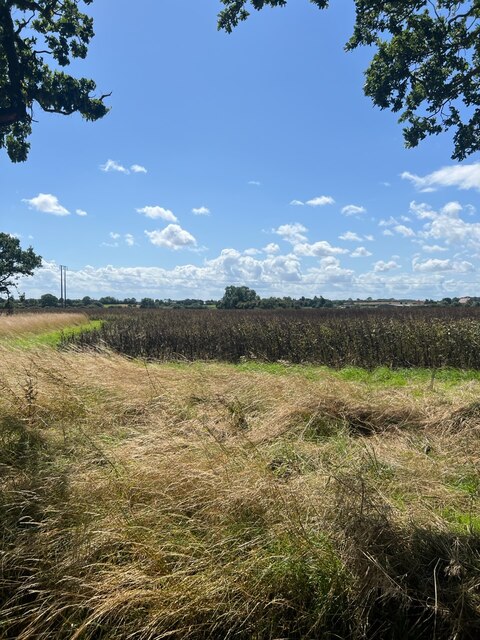
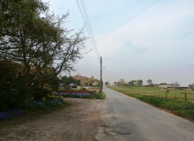
Stone Heads Plantations is a picturesque woodland area located in Yorkshire, England. Nestled in the heart of the county, this enchanting forest offers visitors a tranquil escape from the hustle and bustle of everyday life.
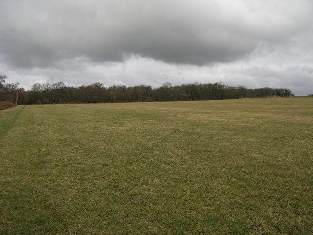
Covering an expansive area, Stone Heads Plantations is characterized by its dense canopy of ancient trees, predominantly oak and beech, which create a stunning tapestry of colors throughout the seasons. The woodland floor is blanketed with a rich carpet of wildflowers, adding to its ethereal beauty.
The name Stone Heads Plantations is derived from the unique feature found within the forest - a collection of stone sculptures, resembling human heads, scattered strategically along the woodland trails. The origin and purpose of these stone heads remains a mystery, adding an air of intrigue and fascination to the plantation.
The forest boasts an extensive network of well-maintained walking trails, allowing visitors to explore its diverse flora and fauna at their own pace. It is home to a plethora of wildlife, including deer, foxes, badgers, and a wide variety of bird species, making it a haven for nature enthusiasts and photographers.
Stone Heads Plantations also offers a range of recreational activities for visitors to enjoy. There are designated picnic areas, perfect for a leisurely lunch amidst the natural beauty. Additionally, the forest provides opportunities for cycling, horseback riding, and even camping, allowing visitors to fully immerse themselves in the peaceful surroundings.
Overall, Stone Heads Plantations is a captivating woodland retreat, offering a harmonious blend of natural beauty, intriguing sculptures, and recreational opportunities. It is a must-visit destination for those seeking solace in nature's embrace.
If you have any feedback on the listing, please let us know in the comments section below.
Stone Heads Plantations Images
Images are sourced within 2km of 53.355473/-1.1801041 or Grid Reference SK5484. Thanks to Geograph Open Source API. All images are credited.


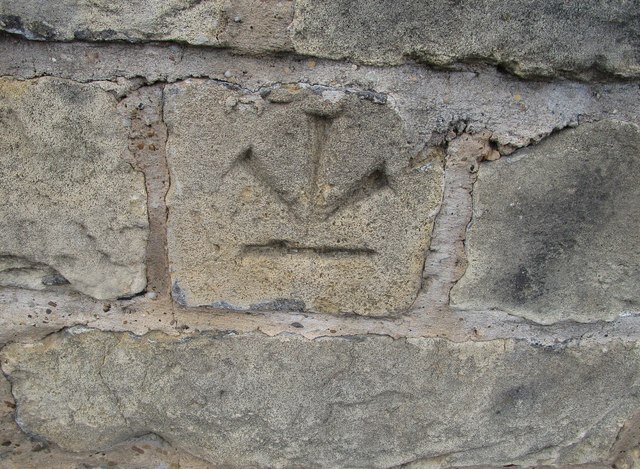


Stone Heads Plantations is located at Grid Ref: SK5484 (Lat: 53.355473, Lng: -1.1801041)
Division: West Riding
Unitary Authority: Rotherham
Police Authority: South Yorkshire
What 3 Words
///streamers.grafted.skips. Near Woodsetts, South Yorkshire
Nearby Locations
Related Wikis

Woodsetts
Woodsetts is a village and civil parish in the Metropolitan Borough of Rotherham in South Yorkshire, England, on the border with Nottinghamshire. It lies...

Dinnington, South Yorkshire
Dinnington is a town and civil parish in the Metropolitan Borough of Rotherham in South Yorkshire, England. It is near to the towns of Worksop and Rotherham...
Anston Stones Wood
Anston Stones Wood (grid reference SK531831) is a 33.7 hectare (88.3 acre) biological site of Special Scientific Interest in South Yorkshire. The site...
Lindrick Golf Club
Lindrick Golf Club is a golf club in South Yorkshire, England; it is near Worksop. The club has an 18-hole championship golf course that has hosted many...
1957 Ryder Cup
The 12th Ryder Cup Matches were held 4–5 October 1957 at Lindrick Golf Club near Worksop, England. The Great Britain team, led by captain Dai Rees, beat...
1960 Curtis Cup
The 11th Curtis Cup Match was played on 20 and 21 May 1960 at Lindrick Golf Club in Worksop, Nottinghamshire, England. The United States won by 61⁄2 matches...

Beighton (ward)
Beighton ()—which includes the districts of Beighton, Hackenthorpe, Owlthorpe, and Sothall—is one of the 28 electoral wards in City of Sheffield, England...
Dinnington Main Colliery
Dinnington Main Colliery was a coal mine situated in the village of Dinnington, near Rotherham, South Yorkshire, England. Until the coming of the colliery...
Related Videos

Tropical butterfly house
Transportation to a tropical world in England with exotic butterflies, dancing peacocks and many more beautiful animals and ...

Dowses Funfair | Dinnington Bus Station Car Park 18/04/2024
What a absolutely fantastic time I had this evening at Dowses Funfair Dinnington Bus Station Car Park. There was a really great ...

Exotic Bird Photography with the Nikon 300mm
This week I'm photographing exotic, tropical birds at the Tropical Butterfly House in Sheffield. I'm using my Nikon D500 and ...

Nearby Amenities
Located within 500m of 53.355473,-1.1801041Have you been to Stone Heads Plantations?
Leave your review of Stone Heads Plantations below (or comments, questions and feedback).