Dimmock's Moor
Wood, Forest in Hampshire Winchester
England
Dimmock's Moor

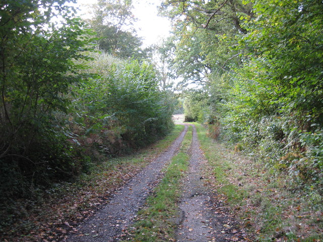
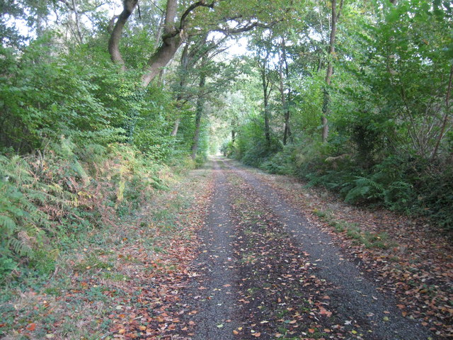
Dimmock's Moor is a picturesque woodland area located in Hampshire, England. Stretching across approximately 200 acres, this enchanting forest is renowned for its diverse range of flora and fauna, making it a haven for nature enthusiasts and hikers alike.
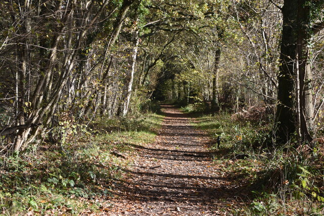
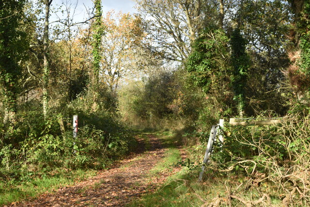
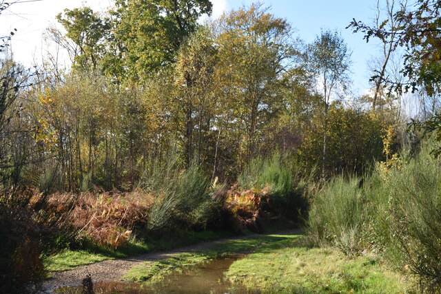
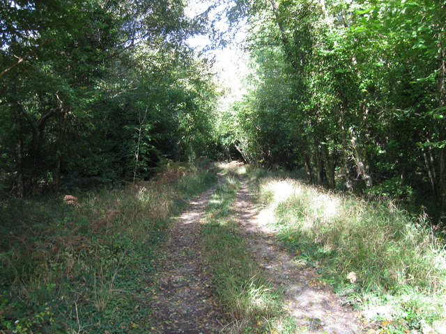
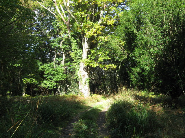
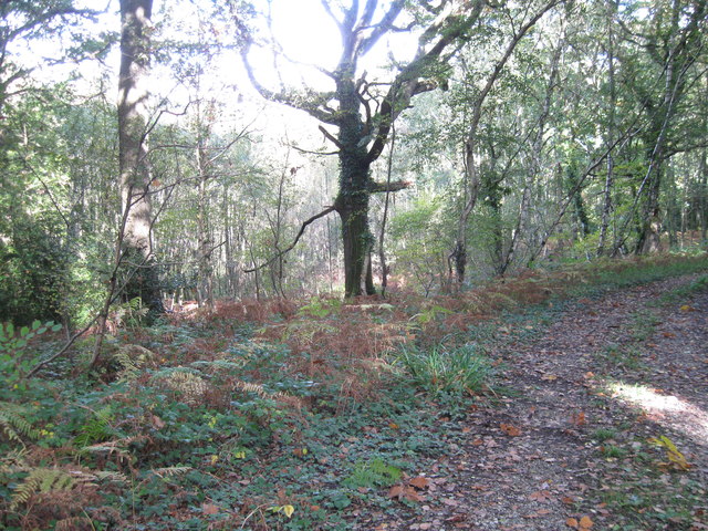
The moor is characterized by its dense canopy of mature trees, predominantly oak and beech, which provide a natural shade and create a serene and tranquil atmosphere. The forest floor is covered in a thick carpet of vibrant wildflowers, including bluebells, primroses, and foxgloves, adding a splash of color to the surroundings.
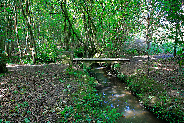
One of the notable features of Dimmock's Moor is the meandering stream that flows through the woodland, enhancing its natural beauty. The stream is home to a variety of aquatic life, including trout and water insects, attracting bird species such as kingfishers and herons that can be spotted along its banks.
The moor also serves as a habitat for numerous woodland creatures, including deer, foxes, badgers, and rabbits. It is not uncommon to encounter these animals while exploring the forest, adding an element of excitement to any visit.
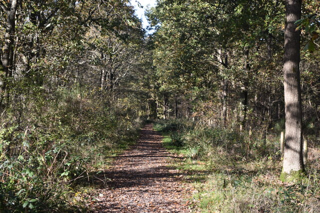
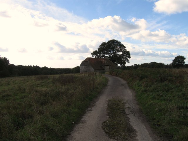
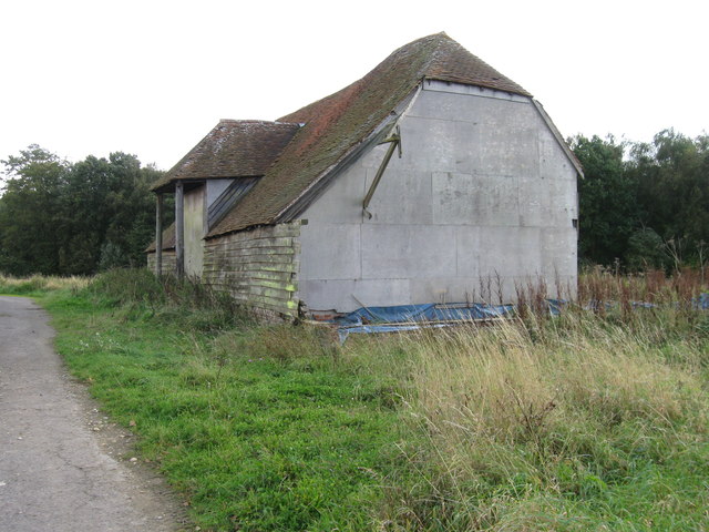
Dimmock's Moor offers a network of well-maintained footpaths and trails, allowing visitors to fully immerse themselves in the beauty of the woodland. These paths wind through the forest, leading to hidden glades and viewpoints, offering breathtaking vistas of the surrounding countryside.
Overall, Dimmock's Moor is a captivating woodland destination that showcases the natural beauty and biodiversity of Hampshire. Whether it's a leisurely stroll, wildlife spotting, or simply seeking solace in nature, this enchanting forest has something to offer for everyone.
If you have any feedback on the listing, please let us know in the comments section below.
Dimmock's Moor Images
Images are sourced within 2km of 50.892808/-1.2241794 or Grid Reference SU5410. Thanks to Geograph Open Source API. All images are credited.


Dimmock's Moor is located at Grid Ref: SU5410 (Lat: 50.892808, Lng: -1.2241794)
Administrative County: Hampshire
District: Winchester
Police Authority: Hampshire
What 3 Words
///spiking.lordship.tracks. Near Wickham, Hampshire
Nearby Locations
Related Wikis
Botley Wood and Everett's and Mushes Copses
Botley Wood and Everett's and Mushes Copses is a 352.7-hectare (872-acre) biological Site of Special Scientific Interest north of Fareham in Hampshire...

Knowle Halt railway station
Knowle Halt was a railway station in the county of Hampshire in England. It was served by trains on the Eastleigh to Fareham and Meon Valley lines. The...
College of Air Traffic Control
The College of Air Traffic Control or CATC is the main British non-military training establishment for air traffic control (ATC). It also trains people...

Knowle, Hampshire
Knowle is a village with mainly 21st century shops and businesses in the civil parish of Wickham and Knowle, in the Winchester district of Hampshire, England...

Knowle Hospital
Knowle Hospital, was a psychiatric hospital that was repurposed as the village of Knowle near the town of Fareham in Hampshire, southern England, which...

Curbridge, Hampshire
Curbridge is a village and former civil parish, now in the parish of Curdridge, in the Winchester district, in the county of Hampshire, England. In 1951...
Wickham, Hampshire
Wickham () is a large village in the civil parish of Wickham and Knowle, in the Winchester district, in the county of Hampshire, England. It is about 3...

Shedfield
Shedfield is a village and civil parish in the City of Winchester district of Hampshire, England. In the 2001 UK Census, Shedfield had a population of...
Related Videos

Day Hiking In Botley Woods
Me and my son on a day hike in botley or white key forest woods.

Making a Walking Stick for my Dad
This video is dedicated to my dad on his 70th birthday. I'm making him a walking stick or walking cane as he enjoys walking but ...

Relaxing Wickham walk - Meon Valley
Join us for a relaxing stroll in Wickham, Hampshire.

A walk through Wickham water watermeadows in Hampshire
A short edit of the watermeadows in Wickham, Hampshire. It's a touch of beauty behind the village where dogs and kids cool off in ...
Nearby Amenities
Located within 500m of 50.892808,-1.2241794Have you been to Dimmock's Moor?
Leave your review of Dimmock's Moor below (or comments, questions and feedback).