Stockey Bottom
Valley in Oxfordshire West Oxfordshire
England
Stockey Bottom
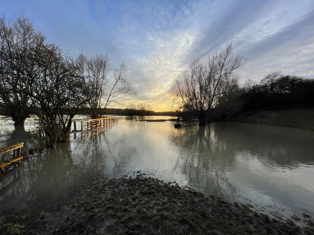
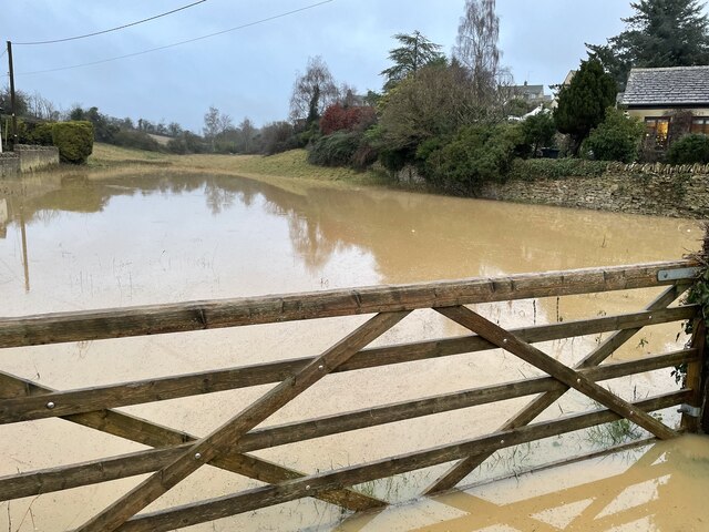
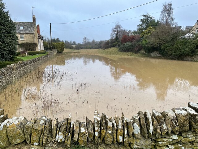
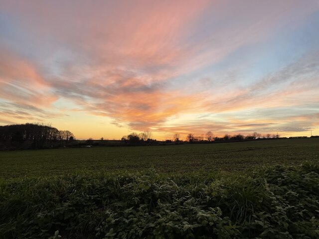
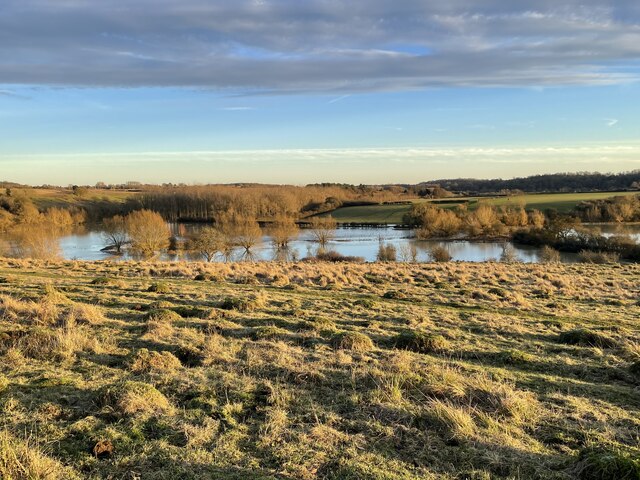
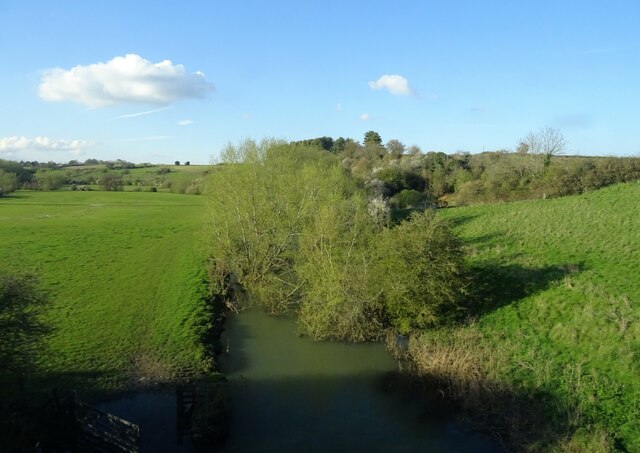
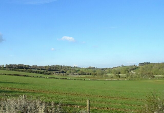
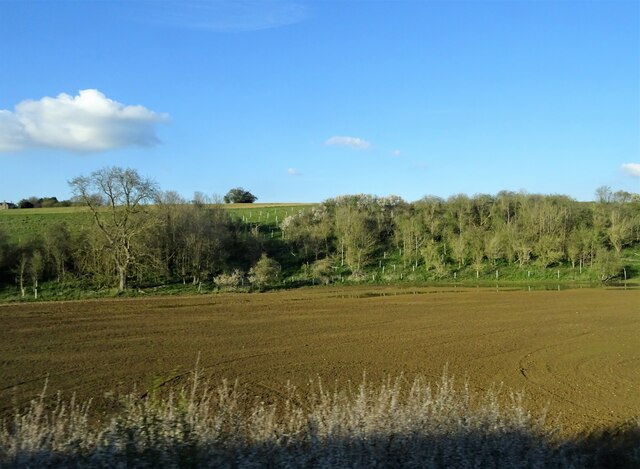
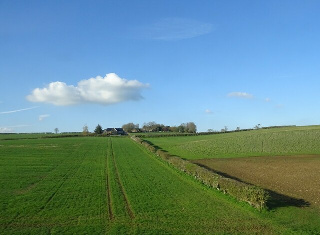
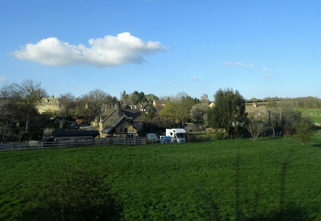
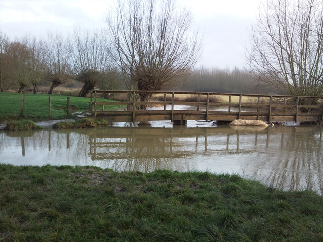
Stockey Bottom is a picturesque valley located in the county of Oxfordshire, England. Situated in the southern part of the county, the valley stretches for approximately 5 kilometers and is surrounded by rolling hills and lush green meadows. The tranquil and idyllic setting of Stockey Bottom makes it a popular destination for nature enthusiasts and those seeking peaceful retreats.
The valley is home to a diverse range of flora and fauna, making it a haven for wildlife. Visitors can expect to spot various species of birds, butterflies, and small mammals while exploring the area. The abundant vegetation includes native trees such as oak, beech, and elm, which provide a stunning display of colors during the changing seasons.
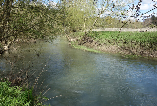
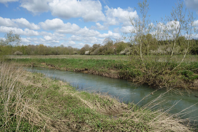
A small river, known as the Stockey Stream, meanders through the valley, adding to its natural charm. The crystal-clear waters of the stream attract anglers who come to fish for trout and other freshwater species. The presence of the river also contributes to the overall beauty of the landscape, as it creates small waterfalls and cascades along its course.
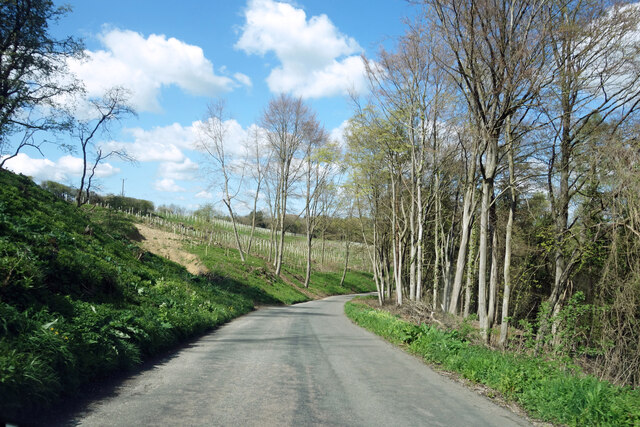
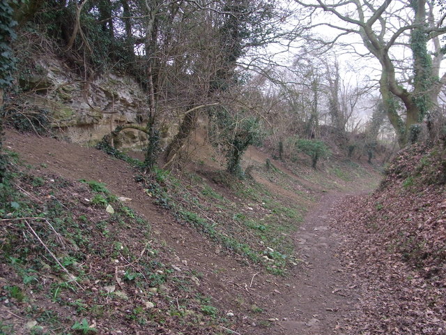
Stockey Bottom is also known for its extensive network of walking trails, which allow visitors to explore the valley and its surroundings. These trails offer panoramic views of the valley, with glimpses of nearby villages and farmland in the distance. The valley's peaceful atmosphere and unspoiled beauty make it an ideal location for hikers, photographers, and nature lovers alike.
Overall, Stockey Bottom in Oxfordshire is a serene and scenic valley that offers a tranquil escape from the hustle and bustle of city life. Its rich biodiversity, stunning landscapes, and abundance of recreational activities make it a must-visit destination for those seeking a connection with nature.
If you have any feedback on the listing, please let us know in the comments section below.
Stockey Bottom Images
Images are sourced within 2km of 51.848451/-1.4336668 or Grid Reference SP3916. Thanks to Geograph Open Source API. All images are credited.

Stockey Bottom is located at Grid Ref: SP3916 (Lat: 51.848451, Lng: -1.4336668)
Administrative County: Oxfordshire
District: West Oxfordshire
Police Authority: Thames Valley
What 3 Words
///aunts.dividing.unopposed. Near Stonesfield, Oxfordshire
Nearby Locations
Related Wikis
Stonesfield Common, Bottoms and Banks
Stonesfield Common, Bottoms and Banks is a 27.45-hectare (67.8-acre) biological Site of Special Scientific Interest (SSSI) south of Stonesfield in Oxfordshire...

Stonesfield
Stonesfield is a village and civil parish about 5 miles (8 km) north of Witney in Oxfordshire, and about 10 miles (17 km) north-west of Oxford. The village...

Ramsden, Oxfordshire
Ramsden is a village and civil parish about 3+1⁄2 miles (5.6 km) north of Witney in West Oxfordshire. The 2011 Census recorded the parish's population...
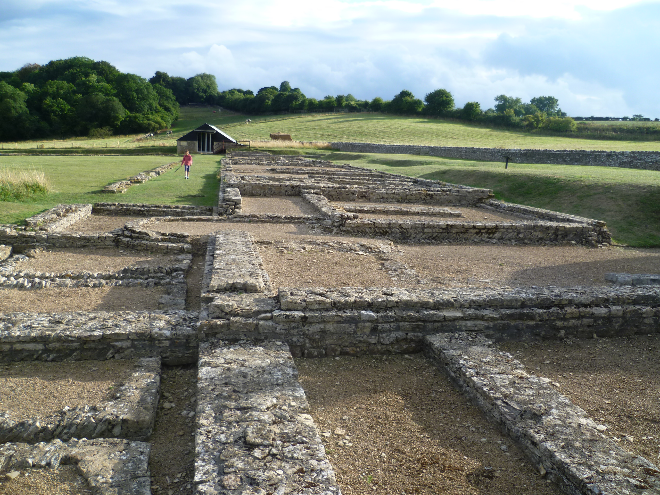
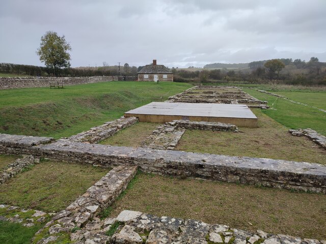
North Leigh Roman Villa
North Leigh Roman Villa was a Roman courtyard villa in the Evenlode Valley about 0.5 miles (800 m) north of the hamlet of East End in North Leigh civil...

Sturt Copse
Sturt Copse is a 6.5-hectare (16-acre) biological Site of Special Scientific Interest north-west of Oxford in Oxfordshire.This wood has many giant stools...

Cornbury and Wychwood
Cornbury and Wychwood is a civil parish in West Oxfordshire. It includes the country estate of Cornbury Park (Ordnance Survey grid reference SP350181)...

Combe, Oxfordshire
Combe is a village and civil parish about 5 miles (8 km) northeast of Witney in Oxfordshire. It is bounded to the south and southwest by the River Evenlode...
Fawler
Fawler is a hamlet and civil parish in the valley of the River Evenlode, 1.5 miles (2.4 km) southeast of Charlbury in Oxfordshire, England. There are...
Nearby Amenities
Located within 500m of 51.848451,-1.4336668Have you been to Stockey Bottom?
Leave your review of Stockey Bottom below (or comments, questions and feedback).