Stockey Plantation
Wood, Forest in Oxfordshire West Oxfordshire
England
Stockey Plantation
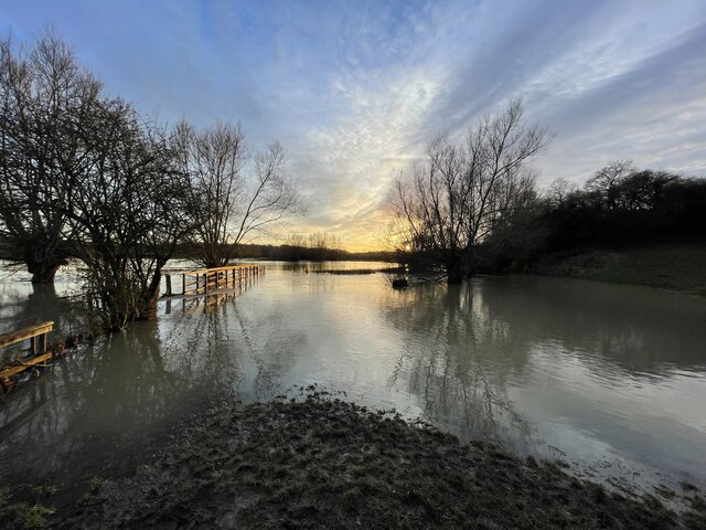
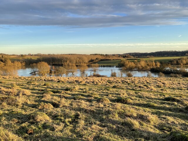
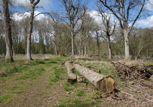
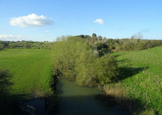
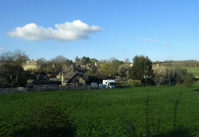
Stockey Plantation is a picturesque woodland located in Oxfordshire, England. The plantation covers a vast area of land and is known for its dense forest and diverse range of plant species.
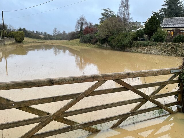
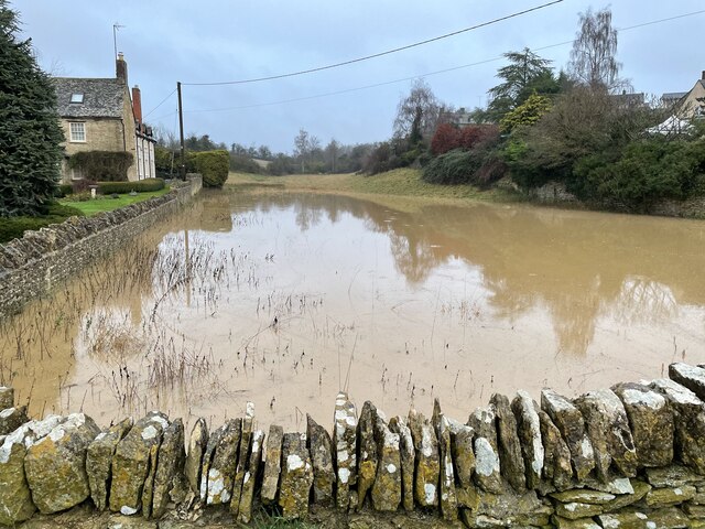
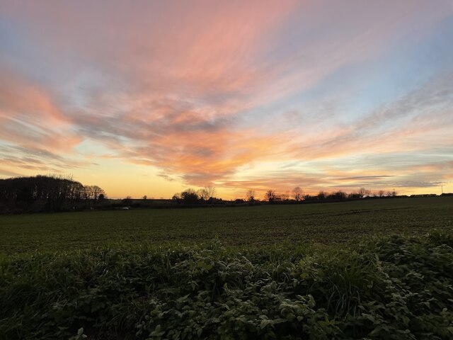
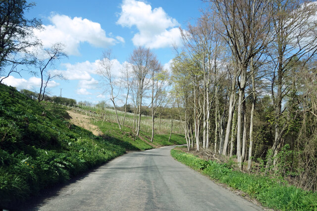
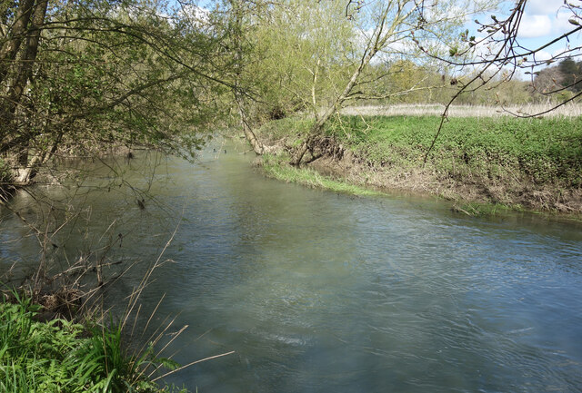
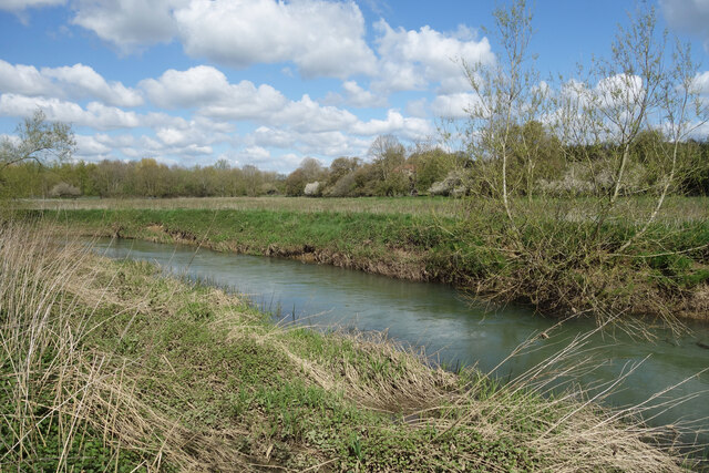
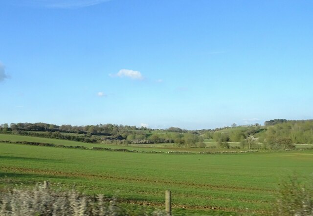
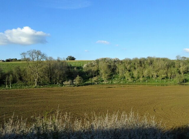
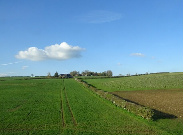
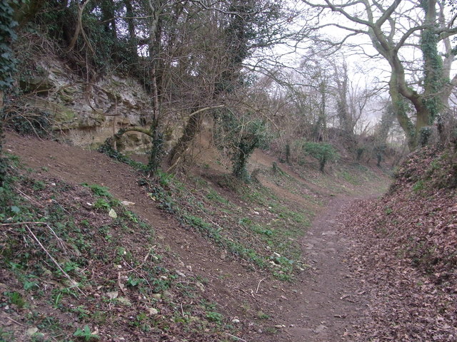
The woodland is situated in a rural area, providing a tranquil and serene environment for nature enthusiasts and visitors alike. The plantation is easily accessible, with well-maintained paths and trails throughout, allowing visitors to explore the area at their own pace.
Stockey Plantation is home to a variety of trees, including oak, beech, and birch, which create a lush and vibrant canopy. The woodland floor is covered with a rich carpet of moss, ferns, and wildflowers, offering a haven for small animals and insects.
The plantation also boasts a diverse array of wildlife, with species such as deer, foxes, and birds of prey frequently spotted within its boundaries. Birdwatchers can enjoy the sight of various species, including woodpeckers, owls, and songbirds, making it a popular spot for birdwatching enthusiasts.
In addition to its natural beauty, Stockey Plantation offers recreational activities such as hiking, jogging, and cycling. The well-maintained trails provide opportunities for outdoor exercise while enjoying the peaceful surroundings.
Overall, Stockey Plantation in Oxfordshire is a remarkable woodland that offers visitors a chance to immerse themselves in nature. With its diverse plant and animal life, well-maintained trails, and serene atmosphere, it is a popular destination for nature lovers and outdoor enthusiasts.
If you have any feedback on the listing, please let us know in the comments section below.
Stockey Plantation Images
Images are sourced within 2km of 51.848234/-1.4352229 or Grid Reference SP3916. Thanks to Geograph Open Source API. All images are credited.

Stockey Plantation is located at Grid Ref: SP3916 (Lat: 51.848234, Lng: -1.4352229)
Administrative County: Oxfordshire
District: West Oxfordshire
Police Authority: Thames Valley
What 3 Words
///pinches.email.inefficient. Near Stonesfield, Oxfordshire
Nearby Locations
Related Wikis
Stonesfield Common, Bottoms and Banks
Stonesfield Common, Bottoms and Banks is a 27.45-hectare (67.8-acre) biological Site of Special Scientific Interest (SSSI) south of Stonesfield in Oxfordshire...

Stonesfield
Stonesfield is a village and civil parish about 5 miles (8 km) north of Witney in Oxfordshire, and about 10 miles (17 km) north-west of Oxford. The village...

Ramsden, Oxfordshire
Ramsden is a village and civil parish about 3+1⁄2 miles (5.6 km) north of Witney in West Oxfordshire. The 2011 Census recorded the parish's population...
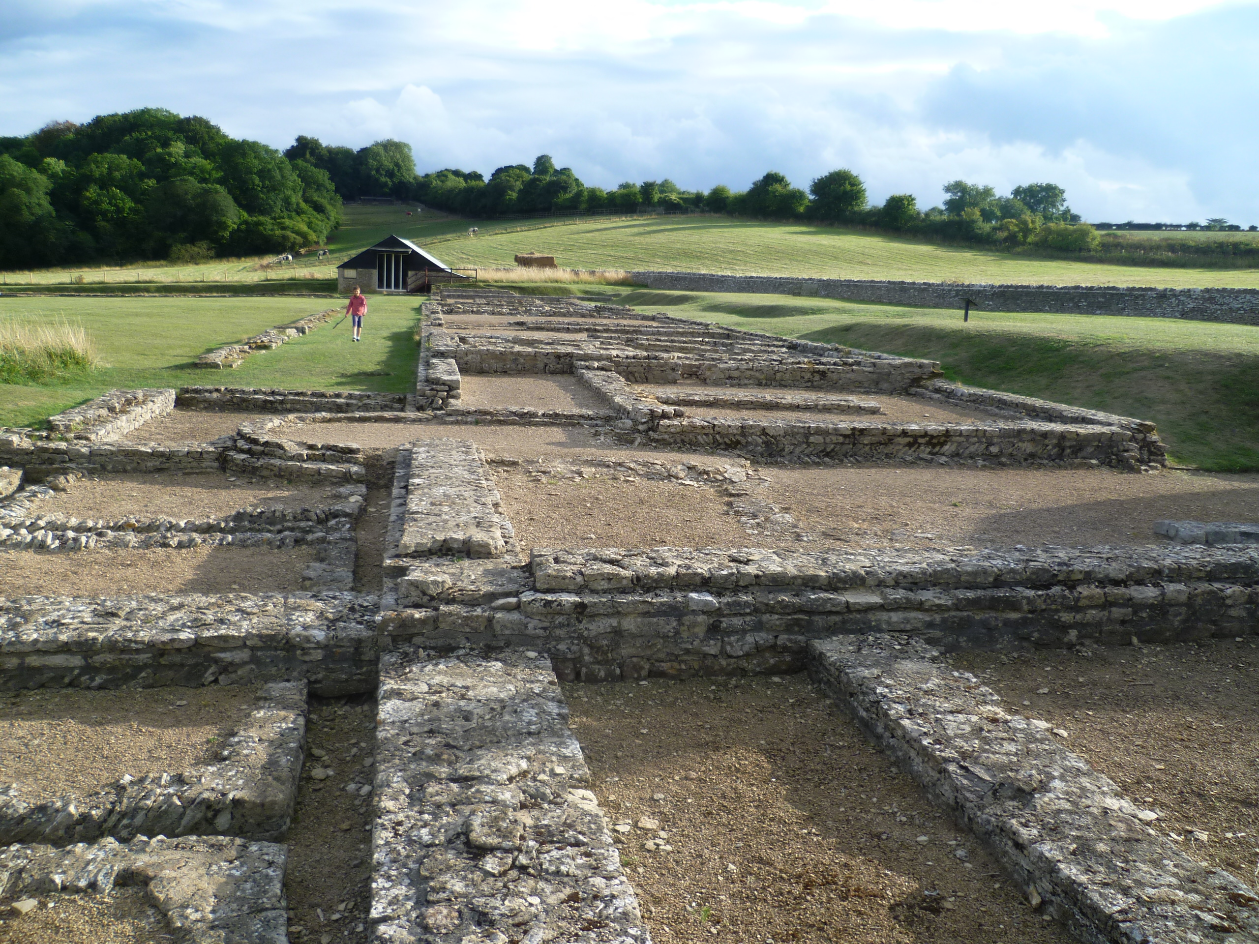
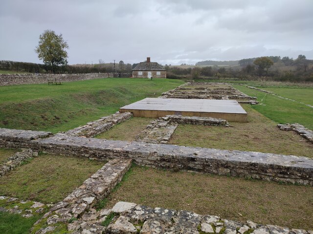
North Leigh Roman Villa
North Leigh Roman Villa was a Roman courtyard villa in the Evenlode Valley about 0.5 miles (800 m) north of the hamlet of East End in North Leigh civil...

Cornbury and Wychwood
Cornbury and Wychwood is a civil parish in West Oxfordshire. It includes the country estate of Cornbury Park (Ordnance Survey grid reference SP350181)...

Sturt Copse
Sturt Copse is a 6.5-hectare (16-acre) biological Site of Special Scientific Interest north-west of Oxford in Oxfordshire.This wood has many giant stools...
Fawler
Fawler is a hamlet and civil parish in the valley of the River Evenlode, 1.5 miles (2.4 km) southeast of Charlbury in Oxfordshire, England. There are...

Finstock railway station
Finstock railway station serves the village of Finstock and the hamlet of Fawler in Oxfordshire, England. It is some distance from Finstock itself, being...
Nearby Amenities
Located within 500m of 51.848234,-1.4352229Have you been to Stockey Plantation?
Leave your review of Stockey Plantation below (or comments, questions and feedback).