Bagg's Bottom
Valley in Oxfordshire West Oxfordshire
England
Bagg's Bottom
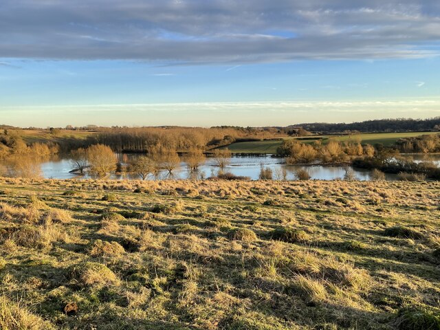
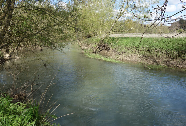
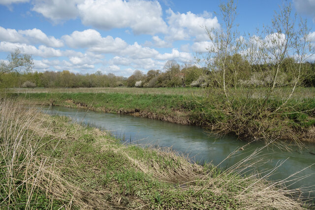
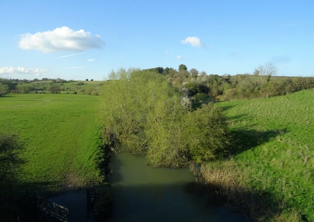
Bagg's Bottom is a picturesque valley located in Oxfordshire, England. Situated near the village of Swerford, this idyllic rural area is renowned for its stunning natural beauty and historical significance. The valley is named after the Bagg family, who were once prominent landowners in the region.
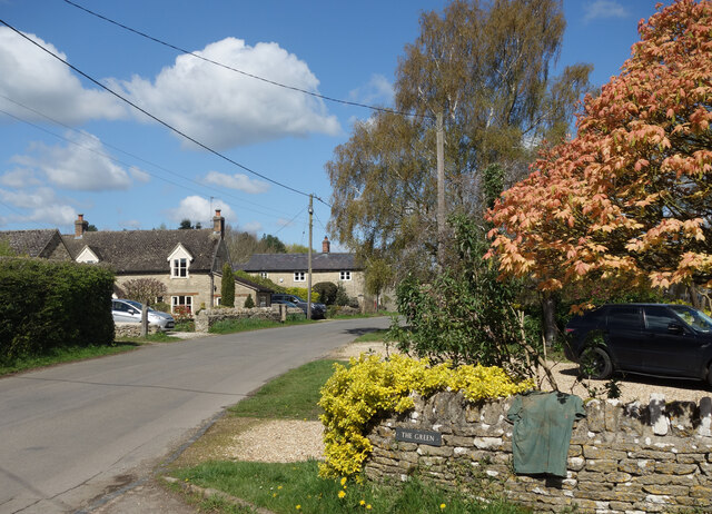
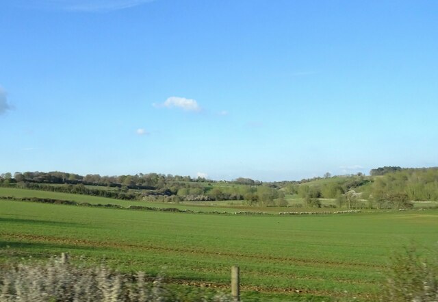
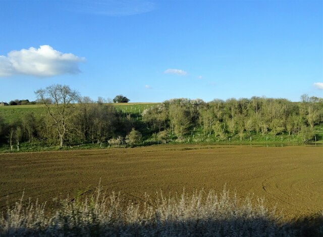
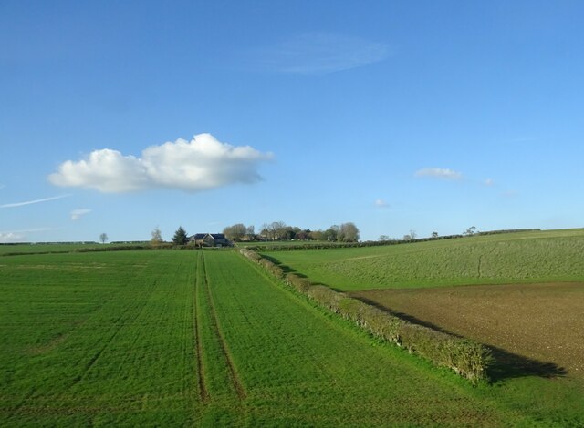
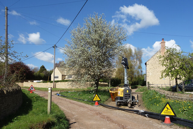
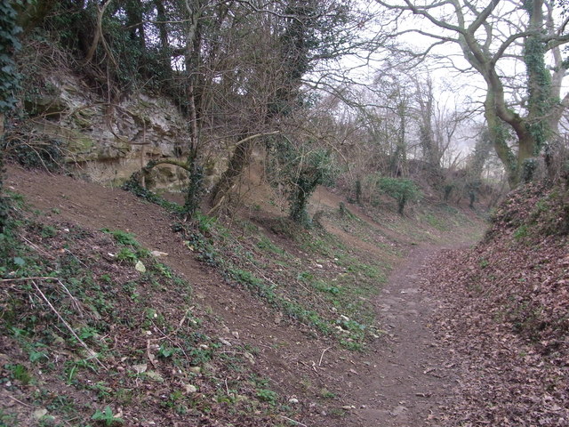
Surrounded by rolling hills and lush greenery, Bagg's Bottom offers a peaceful retreat from the hustle and bustle of city life. The valley is characterized by its charming cottages, old stone walls, and quaint footpaths that wind through the countryside. The area is a haven for nature lovers, with an abundance of wildlife and flora that can be observed throughout the year.
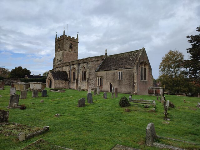
Bagg's Bottom is also known for its historical landmarks. At the heart of the valley lies the Bagg's Bottom Mill, a restored 18th-century watermill that once served as a vital hub for the local community. Today, the mill stands as a testament to the area's industrial heritage and offers visitors a glimpse into the past.
In addition to its natural beauty and historical significance, Bagg's Bottom is a popular destination for outdoor activities. The valley provides ample opportunities for hiking, cycling, and picnicking, allowing visitors to immerse themselves in the tranquility of the English countryside.
Overall, Bagg's Bottom is a hidden gem in Oxfordshire, offering a unique blend of natural splendor, historical charm, and recreational opportunities. Whether strolling along the footpaths, exploring the mill, or simply enjoying the breathtaking scenery, a visit to Bagg's Bottom is a delightful experience for all.
If you have any feedback on the listing, please let us know in the comments section below.
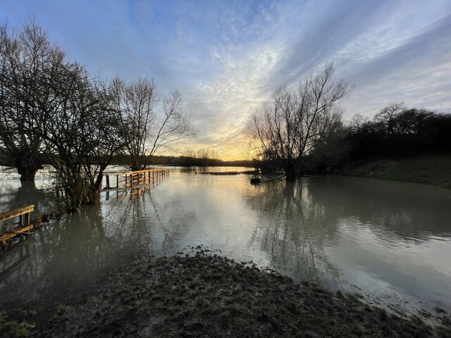
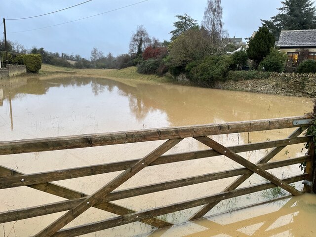
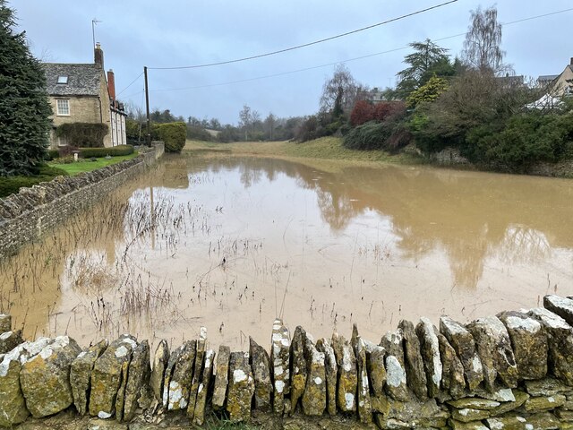
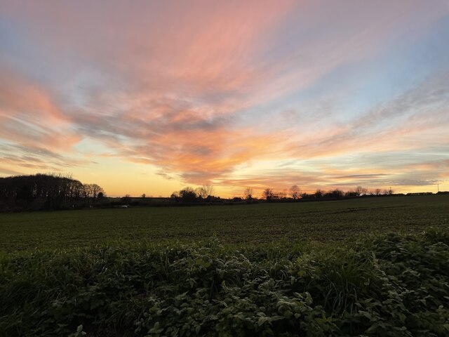
Bagg's Bottom Images
Images are sourced within 2km of 51.846743/-1.4262557 or Grid Reference SP3916. Thanks to Geograph Open Source API. All images are credited.

Bagg's Bottom is located at Grid Ref: SP3916 (Lat: 51.846743, Lng: -1.4262557)
Administrative County: Oxfordshire
District: West Oxfordshire
Police Authority: Thames Valley
What 3 Words
///marathons.visa.magma. Near Stonesfield, Oxfordshire
Nearby Locations
Related Wikis
Stonesfield Common, Bottoms and Banks
Stonesfield Common, Bottoms and Banks is a 27.45-hectare (67.8-acre) biological Site of Special Scientific Interest (SSSI) south of Stonesfield in Oxfordshire...

Stonesfield
Stonesfield is a village and civil parish about 5 miles (8 km) north of Witney in Oxfordshire, and about 10 miles (17 km) north-west of Oxford. The village...
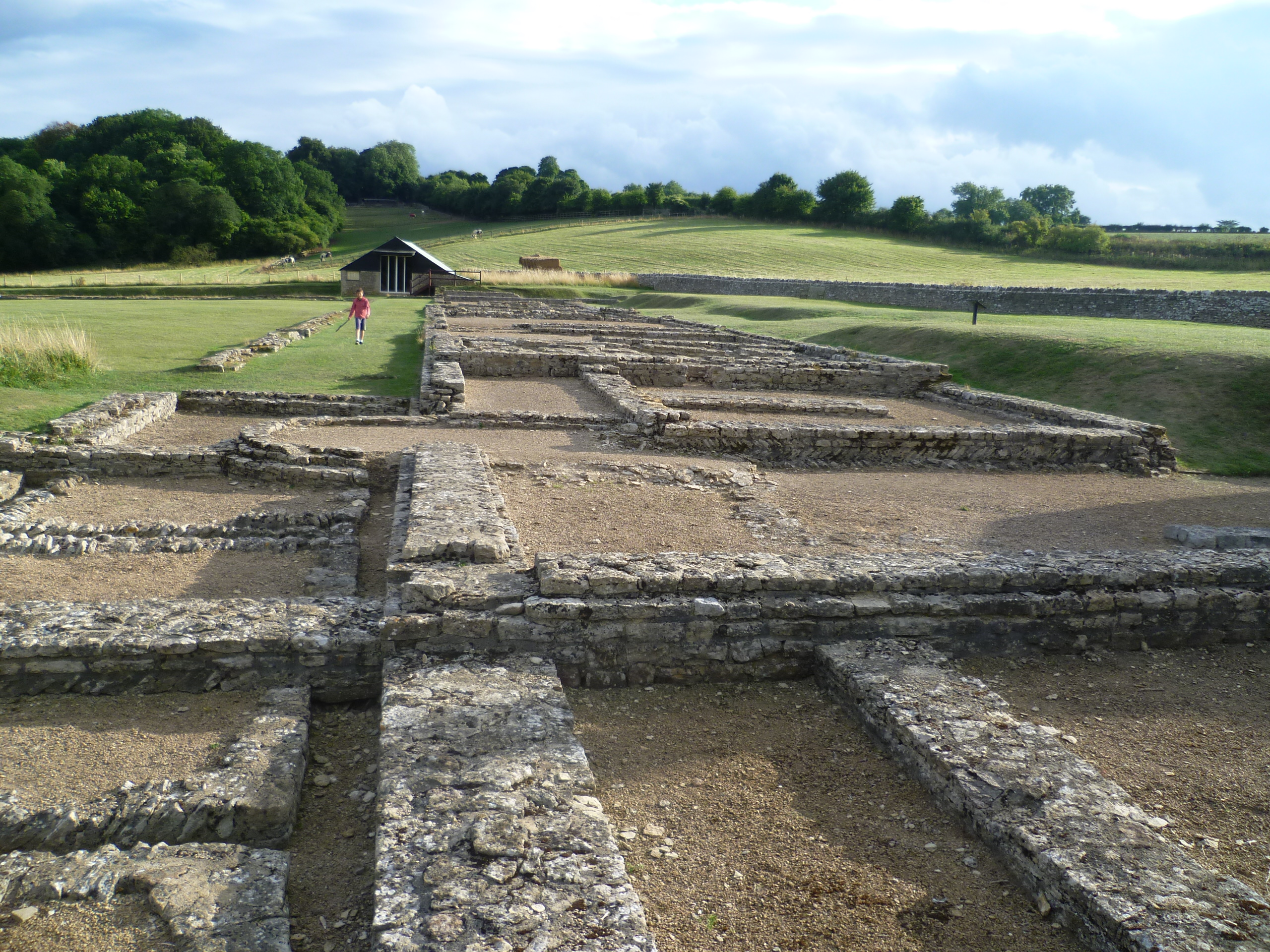
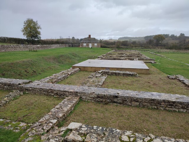
North Leigh Roman Villa
North Leigh Roman Villa was a Roman courtyard villa in the Evenlode Valley about 0.5 miles (800 m) north of the hamlet of East End in North Leigh civil...

Ramsden, Oxfordshire
Ramsden is a village and civil parish about 3+1⁄2 miles (5.6 km) north of Witney in West Oxfordshire. The 2011 Census recorded the parish's population...

Sturt Copse
Sturt Copse is a 6.5-hectare (16-acre) biological Site of Special Scientific Interest north-west of Oxford in Oxfordshire.This wood has many giant stools...

Combe, Oxfordshire
Combe is a village and civil parish about 5 miles (8 km) northeast of Witney in Oxfordshire. It is bounded to the south and southwest by the River Evenlode...
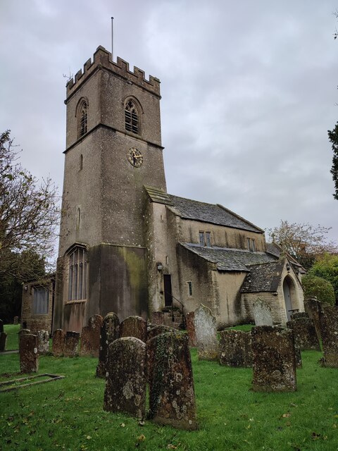
St Laurence's Church, Combe Longa
St Laurence's Church, Combe Longa is the Church of England parish church of Combe, Oxfordshire, England. The parish is part of the Benefice of Stonesfield...

Cornbury and Wychwood
Cornbury and Wychwood is a civil parish in West Oxfordshire. It includes the country estate of Cornbury Park (Ordnance Survey grid reference SP350181)...
Nearby Amenities
Located within 500m of 51.846743,-1.4262557Have you been to Bagg's Bottom?
Leave your review of Bagg's Bottom below (or comments, questions and feedback).