Gallery Bottom
Valley in Yorkshire
England
Gallery Bottom
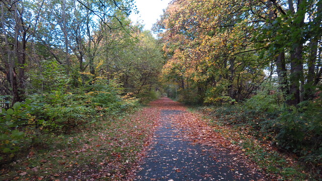
Gallery Bottom is a picturesque valley located in the county of Yorkshire, England. Situated in the heart of the Pennines, it is known for its stunning natural beauty and tranquil atmosphere. The valley is nestled between rolling hills and surrounded by lush greenery, making it a popular destination for nature lovers and outdoor enthusiasts.
The name "Gallery Bottom" is derived from the Old English word "gærel," meaning a narrow passage, and "bottom," meaning a valley floor. This accurately describes the geographical features of the area, as it is a narrow valley with a gently sloping floor.
One of the main attractions of Gallery Bottom is its scenic walking trails, which offer breathtaking views of the surrounding countryside. Visitors can explore the valley by following well-marked paths that wind through woodlands, meadows, and along the banks of babbling brooks. The variety of flora and fauna found in the area is truly remarkable, with wildflowers, ancient trees, and numerous species of birds and butterflies.
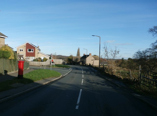
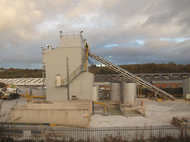
In addition to its natural beauty, Gallery Bottom is also home to a number of historic landmarks. The remains of an old mill can be seen along the river, providing a glimpse into the area's industrial past. The valley is also dotted with traditional stone cottages, adding to its charm and character.
Overall, Gallery Bottom offers a peaceful retreat for those seeking to escape the hustle and bustle of city life. Its idyllic setting and diverse natural landscapes make it a must-visit destination for anyone exploring the Yorkshire region.
If you have any feedback on the listing, please let us know in the comments section below.
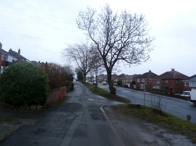
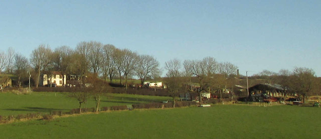
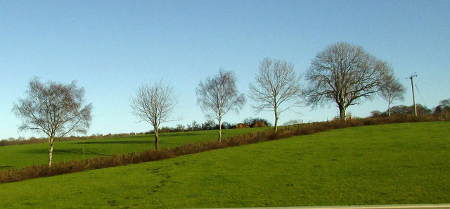
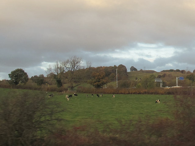
Gallery Bottom Images
Images are sourced within 2km of 53.44667/-1.4260149 or Grid Reference SK3894. Thanks to Geograph Open Source API. All images are credited.

Gallery Bottom is located at Grid Ref: SK3894 (Lat: 53.44667, Lng: -1.4260149)
Division: West Riding
Unitary Authority: Rotherham
Police Authority: South Yorkshire
What 3 Words
///horses.prompting.books. Near Wentworth, South Yorkshire
Nearby Locations
Related Wikis

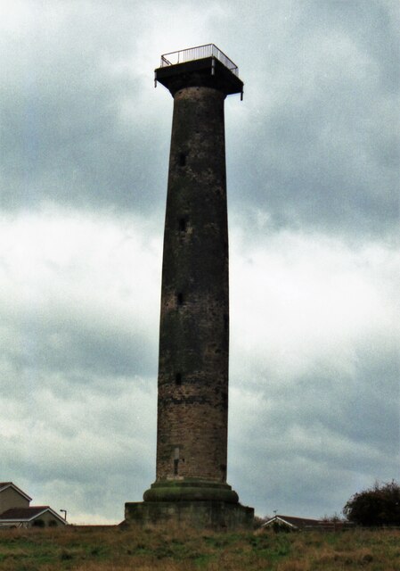
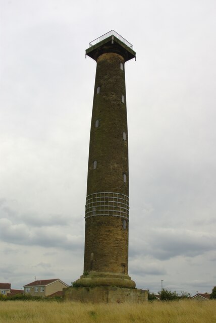
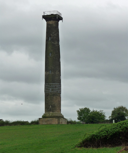
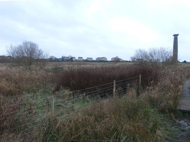
Keppel's Column
Keppel's Column is a 115-foot (35 m) tower Grade II* listed building between Wentworth and Kimberworth in Rotherham, South Yorkshire, England. Keppel's...
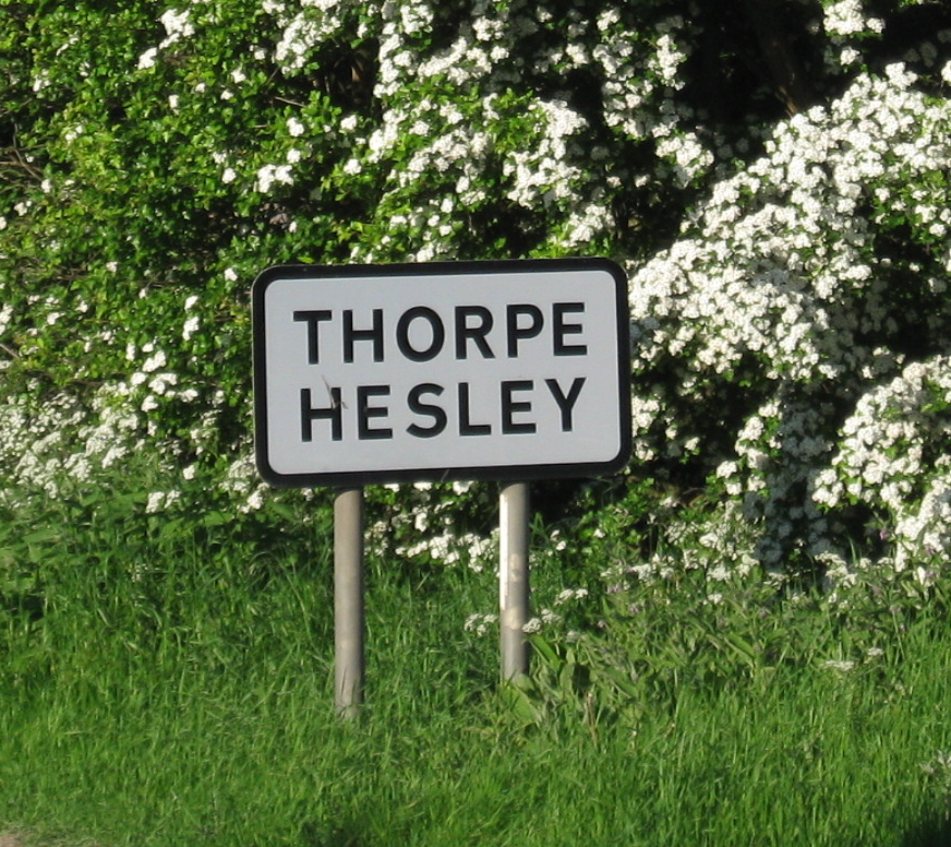
Thorpe Hesley
Thorpe Hesley is a village in the Metropolitan Borough of Rotherham, South Yorkshire, England, lying east of the M1 motorway at junction 35. The village...

Grange Lane railway station (South Yorkshire)
Grange Lane railway station was a railway station located on the South Yorkshire Railway line between Sheffield and Barnsley in South Yorkshire, England...
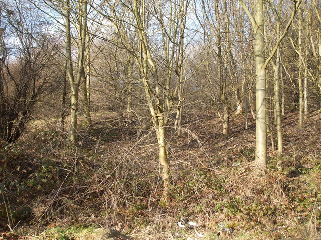
Scholes Coppice
Scholes Coppice (also called Scholes Wood) in an area of ancient woodland located to the north-west of Kimberworth in the Metropolitan Borough of Rotherham...

Scholes, South Yorkshire
Scholes is a small village in the Rotherham borough of South Yorkshire, England, near the southern boundary of Wentworth Woodhouse, formerly the family...
Ecclesfield East railway station
Ecclesfield East railway station was built by the South Yorkshire Railway on their "Blackburn Valley" line between Sheffield Wicker and Barnsley. The station...

Abbey School, Rotherham
Abbey School is a mixed special school for children with moderate and complex learning difficulties. It is located in Kimberworth, South Yorkshire, England...

Ecclesfield West railway station
Ecclesfield West railway station was a railway station in Sheffield, South Yorkshire, England. The station served the communities of Ecclesfield and Shiregreen...
Nearby Amenities
Located within 500m of 53.44667,-1.4260149Have you been to Gallery Bottom?
Leave your review of Gallery Bottom below (or comments, questions and feedback).