Corker Bottoms
Valley in Yorkshire
England
Corker Bottoms
Corker Bottoms is a picturesque valley located in the county of Yorkshire, England. Situated on the eastern edge of the Yorkshire Dales National Park, this idyllic valley offers visitors stunning natural beauty and a peaceful escape from the hustle and bustle of city life.
The valley is characterized by its rolling hills, lush green meadows, and meandering streams. It is surrounded by towering limestone cliffs, adding to its dramatic landscape. The valley is also home to an abundance of wildlife, including various species of birds, mammals, and plant life, making it a popular destination for nature enthusiasts and birdwatchers.
Corker Bottoms is an ideal spot for outdoor activities such as hiking, cycling, and picnicking. There are several well-marked trails that wind through the valley, offering breathtaking views of the surrounding countryside. The valley is also intersected by the River Wharfe, providing opportunities for fishing and boating.
In addition to its natural beauty, Corker Bottoms also boasts a rich history. The area has evidence of human habitation dating back thousands of years, with archaeological sites and ancient ruins scattered throughout the valley. Visitors can explore these historical landmarks and learn about the valley's past.
With its tranquil atmosphere and stunning scenery, Corker Bottoms is a must-visit destination for those seeking a peaceful retreat in the heart of Yorkshire. Whether you're a nature lover, history enthusiast, or simply seeking a break from the busy city life, Corker Bottoms offers a slice of paradise in the Yorkshire countryside.
If you have any feedback on the listing, please let us know in the comments section below.
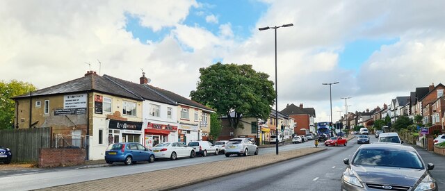
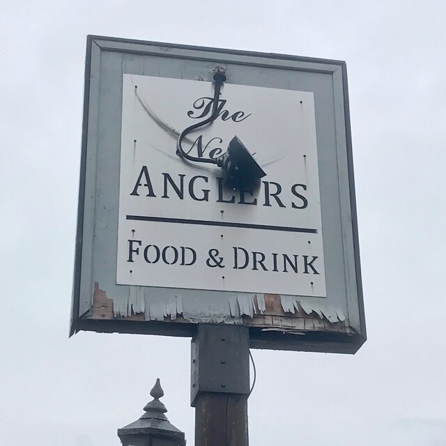
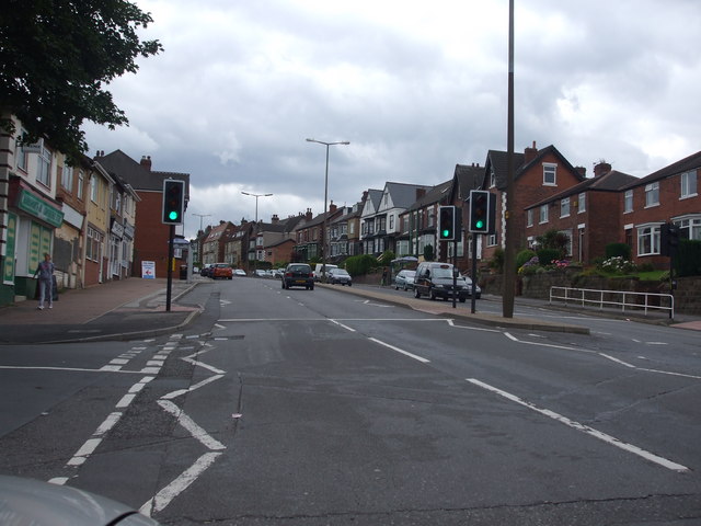
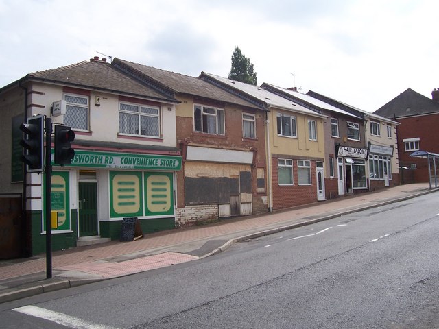
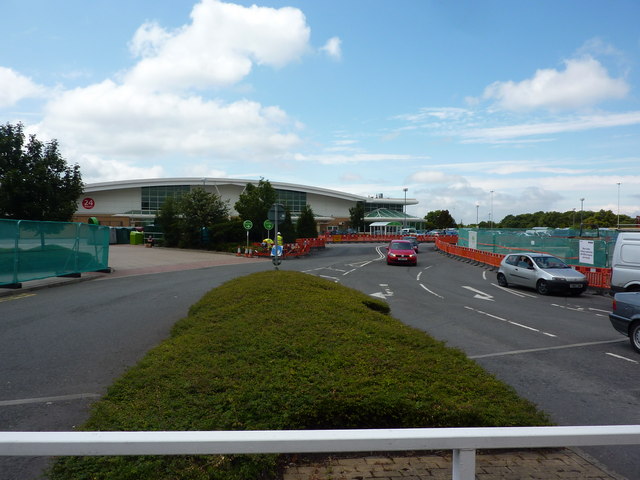
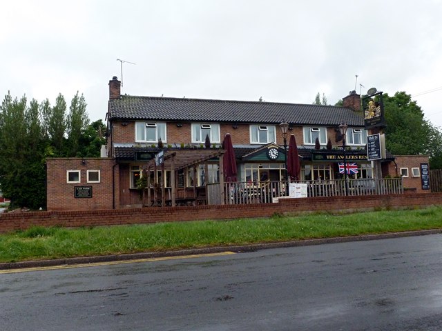
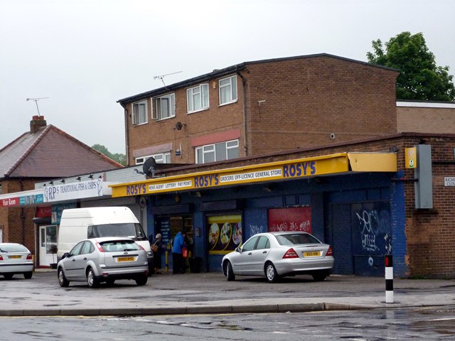
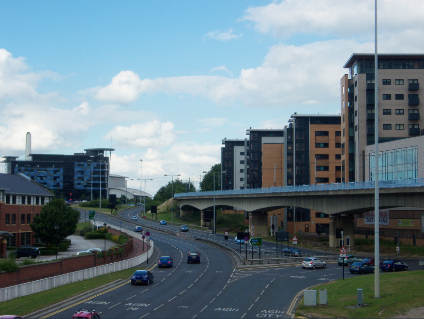
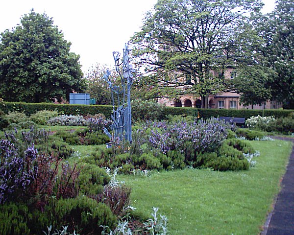
Corker Bottoms Images
Images are sourced within 2km of 53.377609/-1.4258161 or Grid Reference SK3886. Thanks to Geograph Open Source API. All images are credited.


Corker Bottoms is located at Grid Ref: SK3886 (Lat: 53.377609, Lng: -1.4258161)
Division: West Riding
Unitary Authority: Sheffield
Police Authority: South Yorkshire
What 3 Words
///hosts.bricks.trout. Near Sheffield, South Yorkshire
Nearby Locations
Related Wikis

Sheffield Park Academy
Sheffield Park Academy is a high performing 11–18 secondary school in Sheffield, South Yorkshire, England, with almost 1,200 pupils, including 150 in a...
Sheffield Parkway
The Sheffield Parkway is a major dual carriageway which runs between the City of Sheffield and junction 33 of the M1 in South Yorkshire, England. The 5...
Approved Food
Approved Food is an online discount food retailer based in Dodworth, South Yorkshire, in the United Kingdom. The company retails products that are near...

Sheffield Attercliffe (UK Parliament constituency)
Sheffield Attercliffe was a parliamentary constituency in the City of Sheffield. It was created at the 1885 general election and abolished at the 2010...

Sheffield Manor Lodge
Sheffield Manor Lodge, also known as Sheffield Manor or locally as Manor Castle, is a lodge built about 1516 in what then was a large deer park southeast...
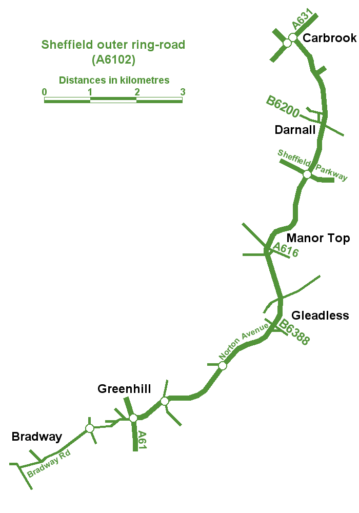
Sheffield Outer Ring Road
Sheffield Outer Ring Road is one of two main routes circumventing Sheffield, England, a partial ring around Sheffield City Centre and its suburbs. ��2...
Nunnery Colliery
Nunnery Colliery was a coal mine close to Sheffield at Darnall, South Yorkshire. The mining company, known as The Waverley Coal Company, also worked High...
Darnall
Darnall is a suburb of eastern Sheffield, South Yorkshire, England. Darnall is approximately 3 miles (5 km) east-north-east of Sheffield city centre....
Nearby Amenities
Located within 500m of 53.377609,-1.4258161Have you been to Corker Bottoms?
Leave your review of Corker Bottoms below (or comments, questions and feedback).