Hevda Dale
Valley in Shetland
Scotland
Hevda Dale
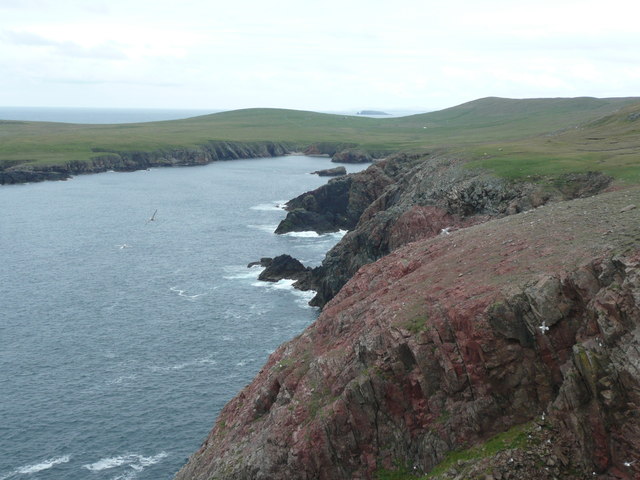
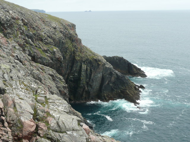
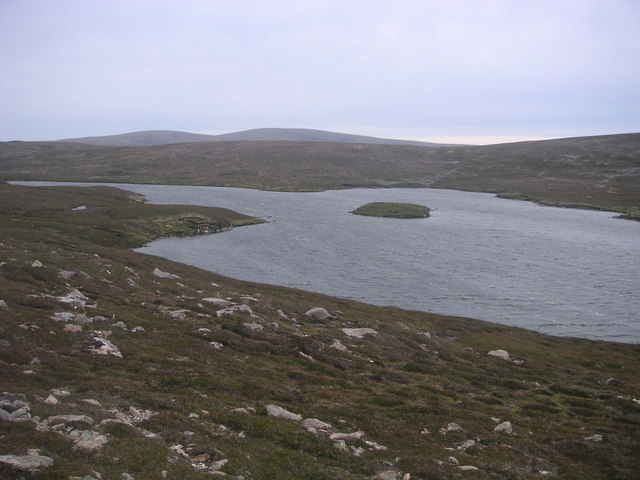
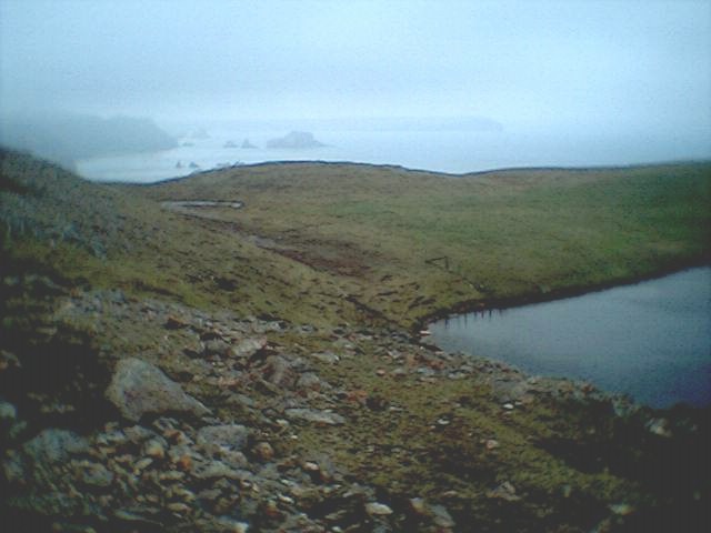
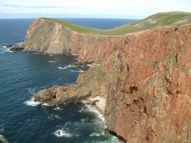
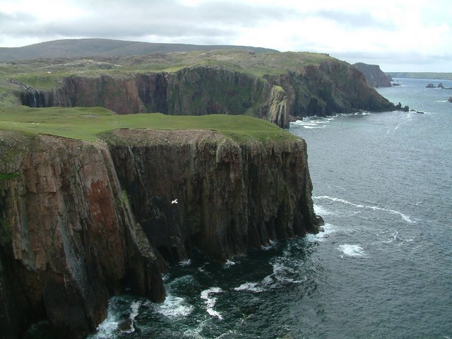
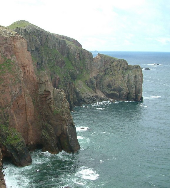
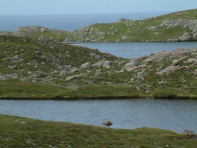
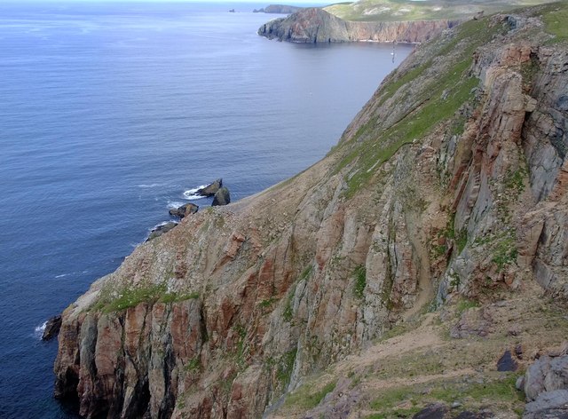
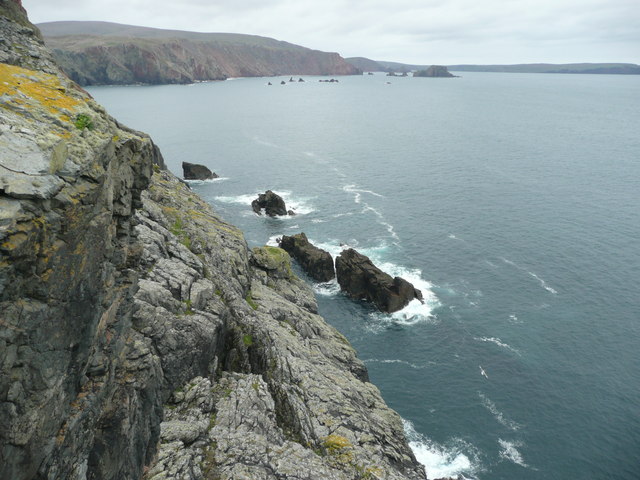
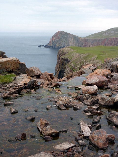
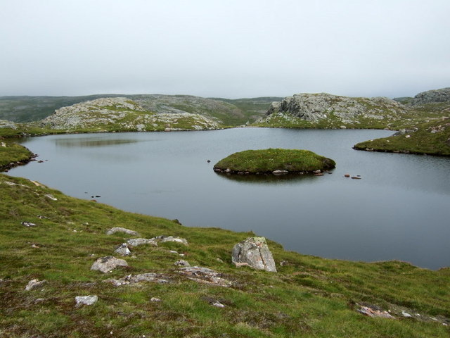
Hevda Dale is a picturesque valley located in the Shetland Islands, an archipelago off the northeast coast of Scotland. Nestled in the heart of Shetland, this valley is surrounded by rolling hills and stunning natural beauty.
The valley boasts a unique landscape characterized by lush green meadows, scattered wildflowers, and a meandering stream that flows through its center. The area is known for its rich biodiversity and is home to a variety of plant and animal species. Visitors can expect to see grazing sheep, ponies, and numerous bird species in this idyllic setting.
Hevda Dale offers visitors the opportunity to immerse themselves in the peacefulness of nature. The valley is a popular spot for hikers and nature enthusiasts who can explore the numerous walking trails that wind through the area. These trails offer stunning views of the surrounding countryside and are suitable for all levels of fitness.
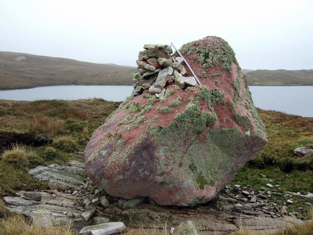
In addition to its natural beauty, Hevda Dale also has historical significance. The valley is dotted with remains of ancient settlements, including a well-preserved Iron Age broch. These archaeological sites provide a glimpse into the area's past and offer visitors a chance to explore and learn about Shetland's rich history.
Overall, Hevda Dale is a must-visit destination for those seeking tranquility, breathtaking scenery, and a connection to the natural world. Whether it's hiking, birdwatching, or simply enjoying a picnic in the midst of stunning surroundings, this valley offers a truly unforgettable experience for all who visit.
If you have any feedback on the listing, please let us know in the comments section below.
Hevda Dale Images
Images are sourced within 2km of 60.58721/-1.4409016 or Grid Reference HU3089. Thanks to Geograph Open Source API. All images are credited.
Hevda Dale is located at Grid Ref: HU3089 (Lat: 60.58721, Lng: -1.4409016)
Unitary Authority: Shetland Islands
Police Authority: Highlands and Islands
What 3 Words
///nurtures.barefoot.contacts. Near Ulsta, Shetland Islands
Nearby Locations
Related Wikis

Lang Ayre
The Lang Ayre is a beach on the west side of Ronas Hill, Northmavine, Shetland. At 1 kilometre (0.6 mi) in length it is the archipelago's longest. It is...

Uyea, Northmavine
Uyea (Scots: Öya in Shetland dialect spelling) is an uninhabited tidal island located to the northwest of Mainland, Shetland. Uyea lies off the Northmavine...

North Roe
North Roe is a village, and protected area at the northern tip in the large Northmavine peninsula of the Mainland of Shetland, Scotland. It is a small...

Ronas Hill
Ronas Hill (or Rönies Hill) is a hill in Shetland, Scotland. It is classed as a Marilyn, and is the highest point in the Shetland Islands at an elevation...

Ronas Voe
Ronas Voe (pronounced [ˈrø̞nis ˌvo̞:] Shetland Dialect: Rønies Voe) is a voe in Northmavine, Shetland. It divides the land between Ronas Hill, Shetland...

Fethaland
Fethaland or Fedeland (pronounced [ˈfeɪdələnd]) is an abandoned settlement at the extreme north end of Mainland, Shetland. It was the site of the largest...

Tingon
Tingon is a peninsula in the north-west of Northmavine, Shetland. It is delineated on the east by Ronas Voe, and on the west by Hamnavoe. It is designated...

Voe, Northmavine
Voe is a settlement on the Northmavine peninsula of Mainland, Shetland, Scotland. It is at the head of Ronas Voe and just off the A970 road. == Whaling... ==
Nearby Amenities
Located within 500m of 60.58721,-1.4409016Have you been to Hevda Dale?
Leave your review of Hevda Dale below (or comments, questions and feedback).