The Clough
Valley in Yorkshire
England
The Clough
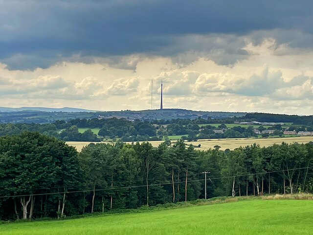
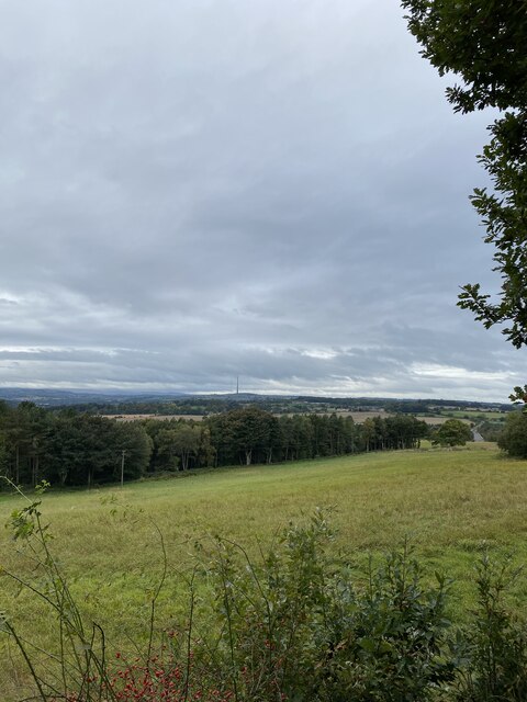
The Clough, located in Yorkshire, is a picturesque valley nestled amidst the stunning natural beauty of the region. Stretching over several miles, this idyllic location is a popular destination for nature enthusiasts and those seeking tranquility away from the hustle and bustle of city life.
The valley is characterized by rolling hills, lush greenery, and a meandering river that flows through it, adding to its charm. The Clough is home to an array of wildlife, including birds, deer, and various species of flora and fauna, making it a haven for nature lovers and wildlife photographers.
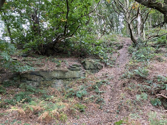
Visitors can enjoy leisurely walks or hikes along the numerous trails that wind through the valley, taking in the breathtaking panoramic views. The Clough also offers opportunities for outdoor activities such as picnicking, cycling, and fishing, ensuring there is something for everyone.
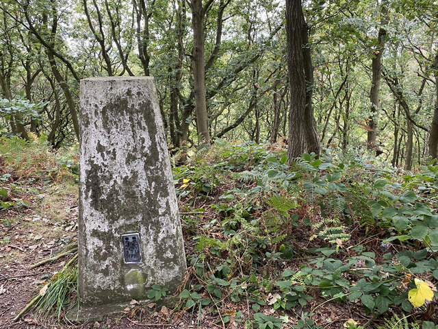
For those interested in history, the valley is rich in heritage, with remnants of ancient settlements and landmarks dotting the landscape. Exploring these historical sites provides a glimpse into the region's past and adds an educational element to the visit.
The Clough is also well-known for its quaint villages and charming country pubs, where visitors can indulge in traditional Yorkshire hospitality and sample delicious local cuisine.
In conclusion, The Clough in Yorkshire is a captivating valley that offers a scenic retreat for nature lovers, outdoor enthusiasts, and history buffs alike. Its natural beauty, diverse wildlife, and rich heritage make it an ideal destination for a peaceful and rejuvenating experience.
If you have any feedback on the listing, please let us know in the comments section below.
The Clough Images
Images are sourced within 2km of 53.628826/-1.5371675 or Grid Reference SE3014. Thanks to Geograph Open Source API. All images are credited.


![Hall Lane, Chapelthorpe In the 1800s this was the main road through the village of Chapelthorpe. What is now Church Lane [where it is parallel to Hall Lane] was then Back Lane.](https://s1.geograph.org.uk/geophotos/07/14/10/7141065_557cc58e.jpg)


![Where four fields meet, south of Chapelthorpe And the public footpath turns sharp right [south-west].](https://s0.geograph.org.uk/geophotos/07/14/11/7141124_9cd33862.jpg)


The Clough is located at Grid Ref: SE3014 (Lat: 53.628826, Lng: -1.5371675)
Division: West Riding
Unitary Authority: Wakefield
Police Authority: West Yorkshire
What 3 Words
///oblige.holidays.acids. Near Crigglestone, West Yorkshire
Nearby Locations
Related Wikis

Crigglestone West railway station
Crigglestone West railway station served the village of Crigglestone, West Yorkshire, England from 1850 to 1965 on the Hallam Line. == History == The station...
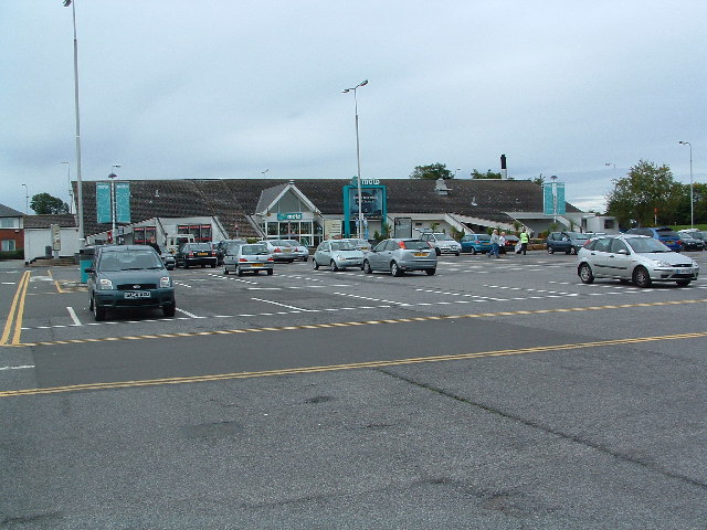
Woolley Edge services
Woolley Edge services is a motorway service station on the M1 motorway within the borough of the City of Wakefield, West Yorkshire, England. It lies between...
Painthorpe
Painthorpe is a residential area in the Wakefield district, in the English county of West Yorkshire. It is situated southwest of Crigglestone. == Amenities... ==
Crigglestone
Crigglestone is a village and civil parish in the City of Wakefield in West Yorkshire, England. It is recorded as "Crigeston" (along with neighbouring...
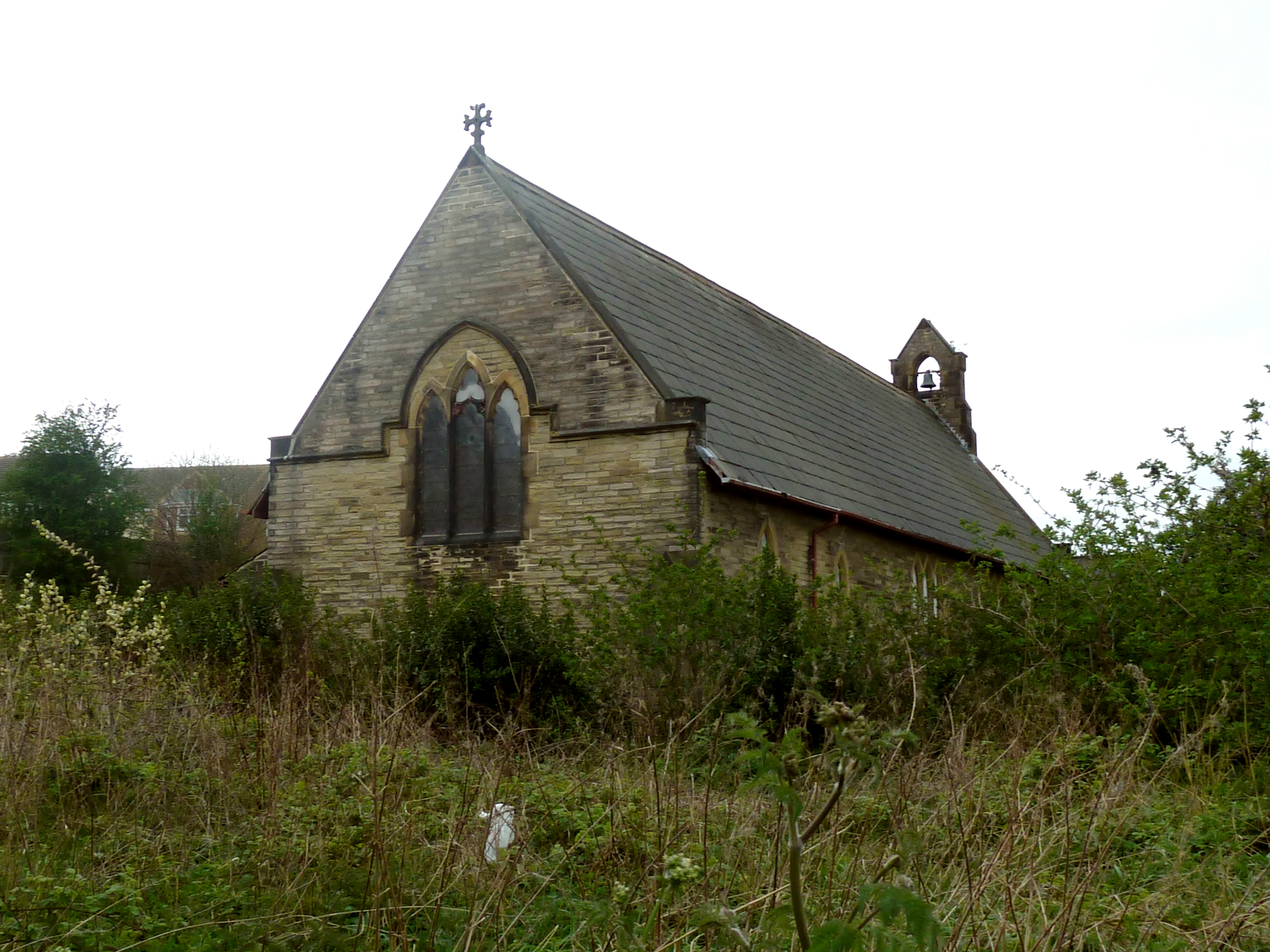
Church of St John the Divine, Calder Grove
The Church of St John the Divine, designed by William Swinden Barber, was built as a mission church in 1892–1893 in the parish of St James, Chapelthorpe...

Woolley, West Yorkshire
Woolley is a village and civil parish in the City of Wakefield in West Yorkshire, England. It had a population of 575 in 2001, which increased to 1,339...
West Bretton
West Bretton is a village and civil parish near Wakefield, West Yorkshire, England. It lies close to junction 38 of the M1 motorway at Haigh. It has a...
Durkar
Durkar is a small village in the southwestern suburbs of the City of Wakefield, West Yorkshire, England. The name 'Durkar' derives from the Norse drit...
Nearby Amenities
Located within 500m of 53.628826,-1.5371675Have you been to The Clough?
Leave your review of The Clough below (or comments, questions and feedback).