Shaw Clough

Valley in Yorkshire

England

Shaw Clough

Entrance to the churchyard of St. James', Midhopestones
Entrance to the churchyard of St. James', Midhopestones Credit: Dave Pickersgill

Shaw Clough is a picturesque valley located in the county of Yorkshire, England. Nestled within the stunning landscape of the Peak District National Park, it is renowned for its natural beauty and tranquil atmosphere. The valley is situated near the village of Marsden, in the metropolitan borough of Kirklees.

With its rolling hills, lush greenery, and meandering streams, Shaw Clough offers visitors a true escape from the hustle and bustle of city life. The area is a haven for hikers, nature enthusiasts, and photographers, who are drawn to its idyllic charm. The valley is also home to a rich diversity of flora and fauna, making it a popular spot for wildlife watching.

One of the standout features of Shaw Clough is its impressive waterfalls. The cascading waters create a mesmerizing sight and provide a soothing soundtrack for those exploring the valley. The waterfalls are particularly striking after periods of rainfall when they are at their most powerful.

In addition to its natural wonders, Shaw Clough boasts a network of well-maintained walking trails, allowing visitors to explore the valley at their own pace. These paths offer stunning panoramic views of the surrounding countryside and provide ample opportunities for picnicking and enjoying the great outdoors.

Overall, Shaw Clough is a hidden gem in Yorkshire, offering visitors a chance to immerse themselves in the region's scenic beauty and experience a sense of tranquility amidst nature.

If you have any feedback on the listing, please let us know in the comments section below.
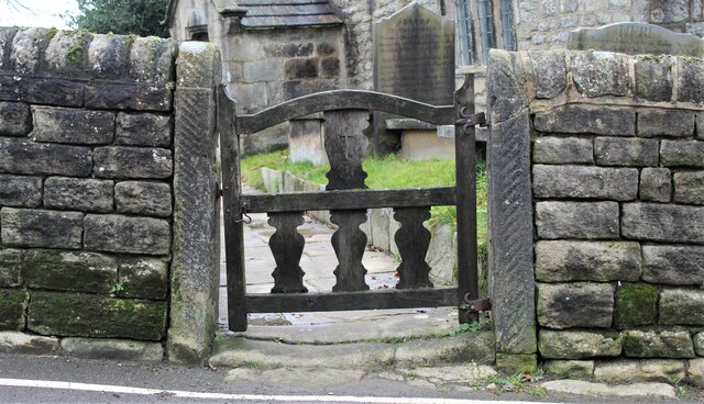
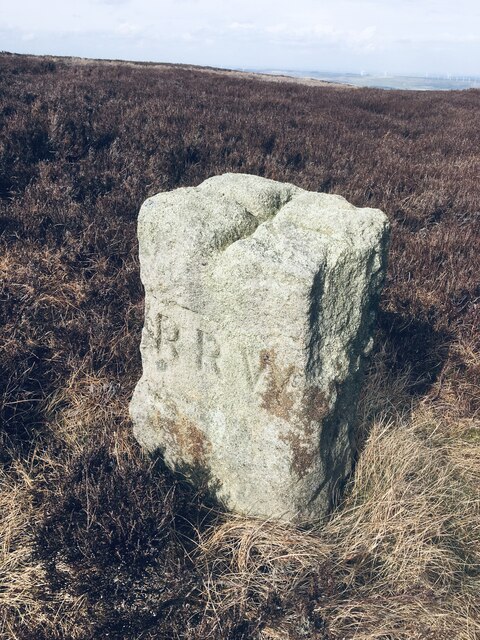
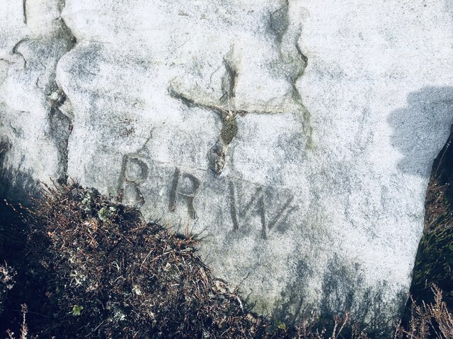
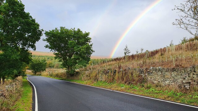
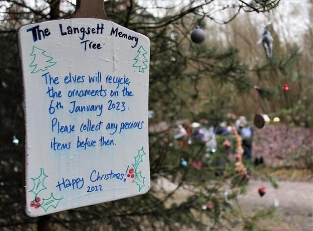
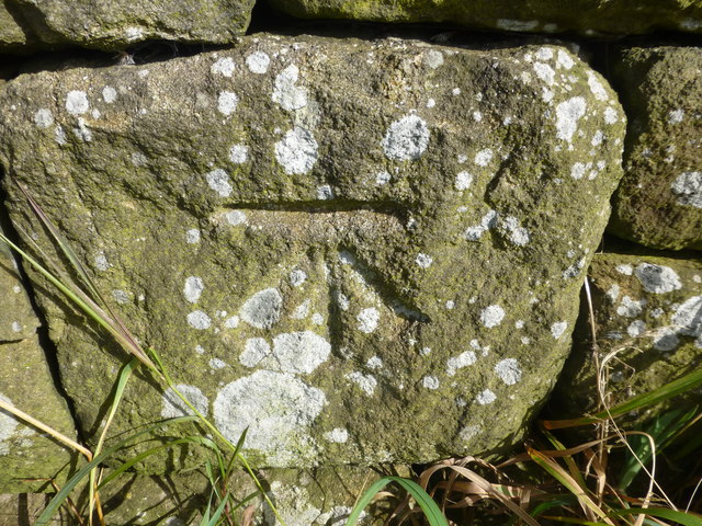
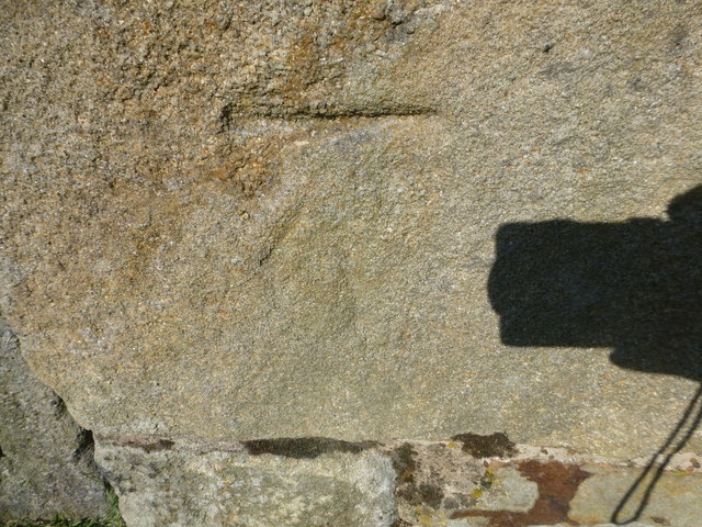
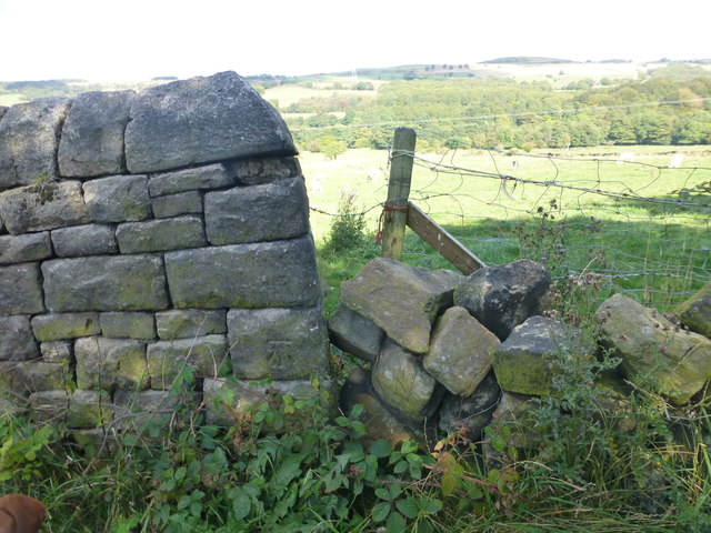
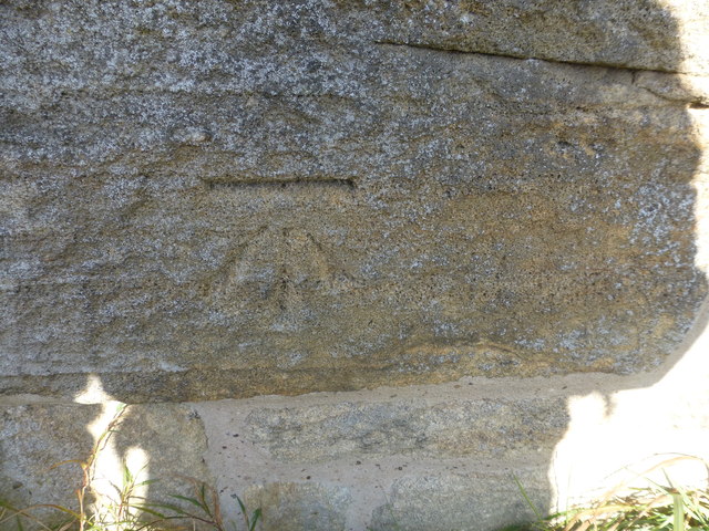
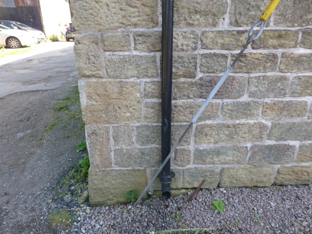
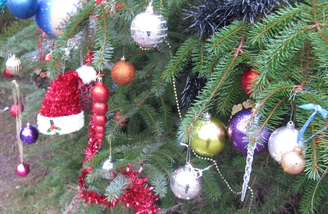
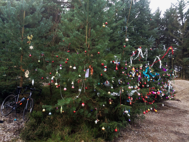
Shaw Clough Images

Images are sourced within 2km of 53.482015/-1.67205 or Grid Reference SK2198. Thanks to Geograph Open Source API. All images are credited.

Entrance to the churchyard of St. James', Midhopestones
St. James' Church, Midhopestones A collection of photographs taken around midday by Geographers from all over Britain and Ireland. 
See all the images on the map: <a title="https://www.geograph.org.uk/stuff/xmas.php?year=2021" href="https://www.geograph.org.uk/stuff/xmas.php?year=2021">Link</a>
St. James' Church, Midhopestones
A collection of photographs taken around midday by Geographers from all over Britain and Ireland. See all the images on the map: Link
WW2 Target Winch Housing WW2 Target Winch Housing on Barnside Moor. Midhope Reservoir is in the distance.
WW2 Target Winch Housing
WW2 Target Winch Housing on Barnside Moor. Midhope Reservoir is in the distance.
Old Boundary Marker on Candlerush Edge, Bleaklow Estate Boundary Marker on Candlerush Edge, Bleaklow, 2100 metres northeast of Margery Hill. Bradfield parish. R R W refers to R R Wilson, the owner of the Broomhead Estate at the end of the 19C. See also <a title="https://www.geograph.org.uk/photo/398943" href="https://www.geograph.org.uk/photo/398943">Link</a>.

Milestone Society National ID: YW_BRA44em
Old Boundary Marker on Candlerush Edge, Bleaklow
Estate Boundary Marker on Candlerush Edge, Bleaklow, 2100 metres northeast of Margery Hill. Bradfield parish. R R W refers to R R Wilson, the owner of the Broomhead Estate at the end of the 19C. See also Link. Milestone Society National ID: YW_BRA44em
Old Boundary Marker on Candlerush Edge, Bleaklow Estate Boundary Marker on Candlerush Edge, Bleaklow, 2100 metres east-northeast of Margery Hill. Bradfield parish. R R W refers to R R Wilson, the owner of the Broomhead Estate at the end of the 19C.

Milestone Society National ID: YW_BRA45em
Old Boundary Marker on Candlerush Edge, Bleaklow
Estate Boundary Marker on Candlerush Edge, Bleaklow, 2100 metres east-northeast of Margery Hill. Bradfield parish. R R W refers to R R Wilson, the owner of the Broomhead Estate at the end of the 19C. Milestone Society National ID: YW_BRA45em
Mortimer Road
Mortimer Road
The Langsett Memory Tree The Langsett Memory Tree (an old fir tree) gains many ornaments over the Christmas period.
The Langsett Memory Tree
The Langsett Memory Tree (an old fir tree) gains many ornaments over the Christmas period.
Cut Mark Shaw Lane Upper Midhope
Cut Mark Lodge Farm Upper Midhope
Cut Mark Midhope Hall Lane Sheffield
Cut Mark Midhope Hall Farm Sheffield
Cut Mark Chapel Barn Midhopestones
The Church of St James at Midhopestones Viewed from the south-west.
The Church of St James at Midhopestones
Viewed from the south-west.
Ordnance Survey Cut Mark This can be found on the roadside wall of a private dwelling at Midhope Hal Farm.
For more detail see : <span class="nowrap"><a title="http://www.bench-marks.org.uk/bm70558" rel="nofollow ugc noopener" href="http://www.bench-marks.org.uk/bm70558">Link</a><img style="margin-left:2px;" alt="External link" title="External link - shift click to open in new window" src="https://s1.geograph.org.uk/img/external.png" width="10" height="10"/></span>
Ordnance Survey Cut Mark
This can be found on the roadside wall of a private dwelling at Midhope Hal Farm. For more detail see : LinkExternal link
Ordnance Survey Cut Mark This can be found on a roadside wall in Midhope Hall Lane.
For more detail see : <span class="nowrap"><a title="http://www.bench-marks.org.uk/bm70557" rel="nofollow ugc noopener" href="http://www.bench-marks.org.uk/bm70557">Link</a><img style="margin-left:2px;" alt="External link" title="External link - shift click to open in new window" src="https://s1.geograph.org.uk/img/external.png" width="10" height="10"/></span>
Ordnance Survey Cut Mark
This can be found on a roadside wall in Midhope Hall Lane. For more detail see : LinkExternal link
Hagg Bridge and Water Run-off from Midhope Reservoir Looking westward.
Hagg Bridge and Water Run-off from Midhope Reservoir
Looking westward.
Christmas tree at Langsett A fir tree annually decorated for Christmas. Thickwoods, near Langsett.
Christmas tree at Langsett
A fir tree annually decorated for Christmas. Thickwoods, near Langsett.
The Langsett memory tree See how the trees have grown over the last few years. <a href="https://www.geograph.org.uk/photo/3253237">SK2099 : The Memory tree 2012</a> <a href="https://www.geograph.org.uk/photo/1102797">SK2099 : Memory Christmas tree Thickwoods</a>
The Langsett memory tree
See how the trees have grown over the last few years. SK2099 : The Memory tree 2012 SK2099 : Memory Christmas tree Thickwoods
Show me another place!

Shaw Clough is located at Grid Ref: SK2198 (Lat: 53.482015, Lng: -1.67205)

Division: West Riding

Unitary Authority: Sheffield

Police Authority: South Yorkshire

What 3 Words

///august.massing.estimates. Near Stocksbridge, South Yorkshire

Nearby Locations

Shaw Clough Range Moor

Related Wikis

Upper Midhope

Upper Midhope (archaic Over Midhope) is a village in the civil parish of Bradfield within the Stocksbridge and Upper Don electoral ward in the borough...

Midhopestones

Midhopestones (archaic Nether Midhope, also Middup, or Middop) is a village in the civil parish of Bradfield within the Stocksbridge and Upper Don electoral...
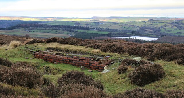
Langsett Reservoir

Langsett Reservoir is in Yorkshire, England, near the villages of Langsett and Upper Midhope, on the edge of the Peak District National Park. The reservoir...

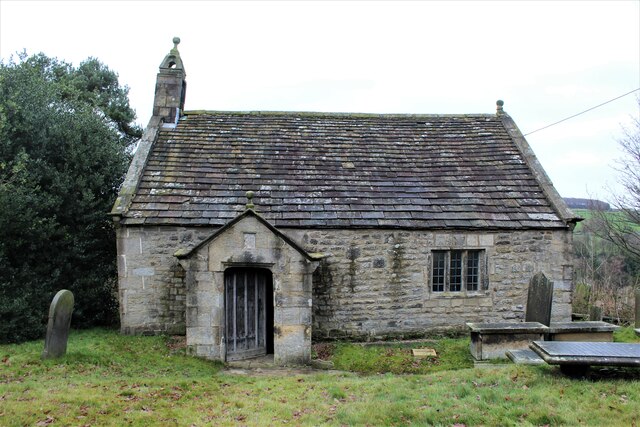
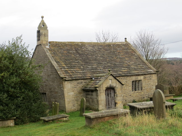
St James' Church, Midhopestones

St James’ Church, Midhopestones is situated in the small rural hamlet of Midhopestones, just within the northern boundary of the City of Sheffield in South...

Nearby Amenities

Located within 500m of 53.482015,-1.67205
Source: NPE
Lat/Long: 53.4859537/-1.6742184
The data included in this document is from www.openstreetmap.org. The data is made available under ODbL.

Have you been to Shaw Clough?

Leave your review of Shaw Clough below (or comments, questions and feedback).