Dogwood Bottom
Valley in Hampshire New Forest
England
Dogwood Bottom
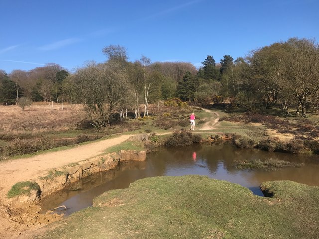
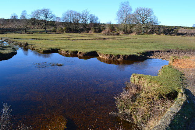
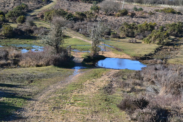
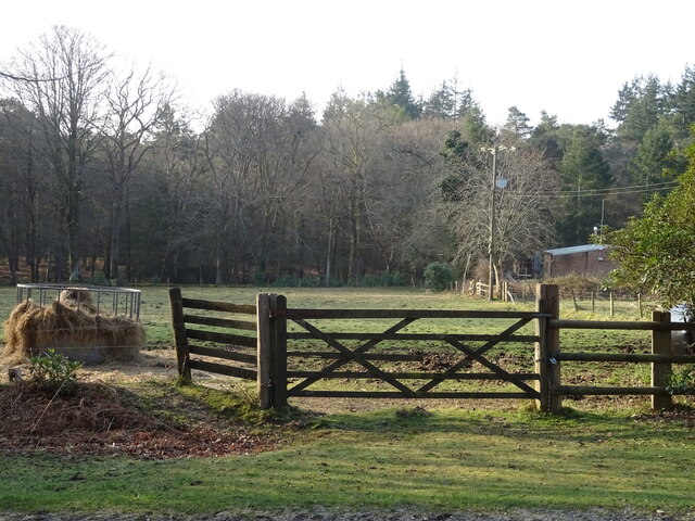
Dogwood Bottom, Hampshire (Valley) is a picturesque rural area located in the southern region of Hampshire County, England. Situated amidst the rolling hills and lush green countryside, this idyllic valley is known for its natural beauty and tranquil surroundings.
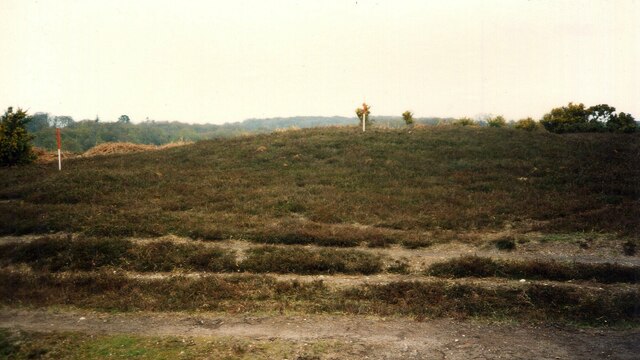
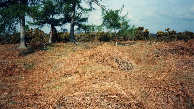
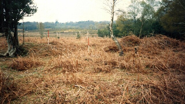
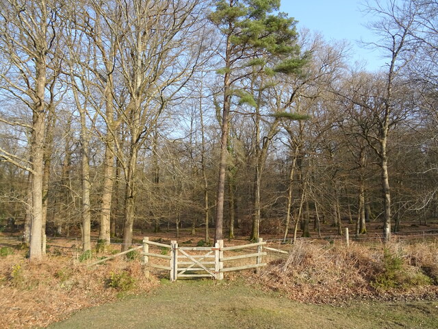
The valley is named after the abundance of dogwood trees that line its meandering streams and paths, creating a stunning landscape throughout the year. It is home to a diverse range of flora and fauna, making it a haven for nature enthusiasts and wildlife lovers alike.
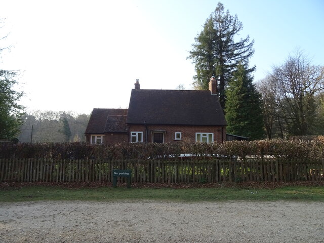
The charming village of Dogwood Bottom lies at the heart of the valley, with its quaint cottages and traditional architecture adding to its timeless appeal. The community is tightly knit, with a population of approximately 500 residents who take great pride in preserving the area's rural heritage.
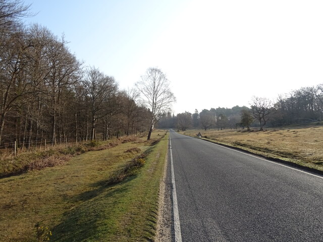
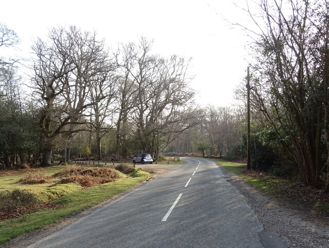
The valley offers a plethora of outdoor activities for visitors to enjoy. Hiking and cycling enthusiasts can explore the numerous trails that wind through the valley, providing breathtaking views of the surrounding countryside. Fishing enthusiasts can indulge in their passion along the crystal-clear streams, while birdwatchers can spot a variety of avian species in the valley's rich habitats.
In terms of amenities, Dogwood Bottom boasts a few local shops, a cozy pub, and a village hall that serves as a hub for community events and gatherings. The valley also hosts an annual summer fair, where locals and visitors come together to celebrate the beauty and charm of the area.
Overall, Dogwood Bottom, Hampshire (Valley) is a hidden gem in the Hampshire countryside, offering a peaceful sanctuary for those seeking solace in nature and a close-knit community atmosphere.
If you have any feedback on the listing, please let us know in the comments section below.
Dogwood Bottom Images
Images are sourced within 2km of 50.855461/-1.6934249 or Grid Reference SU2106. Thanks to Geograph Open Source API. All images are credited.


Dogwood Bottom is located at Grid Ref: SU2106 (Lat: 50.855461, Lng: -1.6934249)
Administrative County: Hampshire
District: New Forest
Police Authority: Hampshire
What 3 Words
///diggers.hiker.asserts. Near Burley, Hampshire
Nearby Locations
Related Wikis

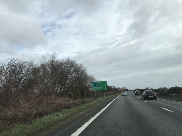
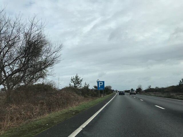
Picket Post
Picket Post is a road junction and service area in the New Forest National Park of Hampshire, England. It lies on the A31 road. == Facilities == Picket...

Castle Hill, Hampshire
Castle Hill is the site of an Iron Age univallate hillfort located in the civil parish of Burley in the New Forest national park in Hampshire, England...

Burley, Hampshire
Burley is a village and civil parish in the New Forest, Hampshire, England. It has ancient origins and is now somewhat tourist-orientated. == The village... ==

Shobley
Shobley is a small hamlet in the New Forest National Park of Hampshire, England. Its nearest town is Ringwood, which lies approximately 1.8 miles (2.9...

Bolderwood, Hampshire
Bolderwood is an area of the New Forest in Hampshire. Bolderwood hosts a deer sanctuary with a public deer observation platform. As a result, the public...
Picket Hill
Picket Hill is a hamlet next to Picket Post in the New Forest National Park of Hampshire, England. It lies on the outskirts of Ringwood.
Linford, Hampshire
Linford is a hamlet in the New Forest district of Hampshire, England, close to the market town of Ringwood. It is about 1.5 miles east of Ringwood. It...
Forest Corner
Forest Corner is a village in the New Forest National Park of Hampshire, England. It is on the A31 road travelling between Southampton and Bournemouth...
Nearby Amenities
Located within 500m of 50.855461,-1.6934249Have you been to Dogwood Bottom?
Leave your review of Dogwood Bottom below (or comments, questions and feedback).