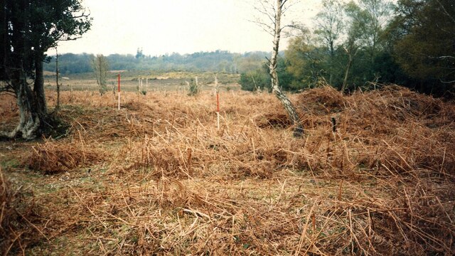
Harvest Slade Bottom
Valley in Hampshire New Forest
England
Harvest Slade Bottom
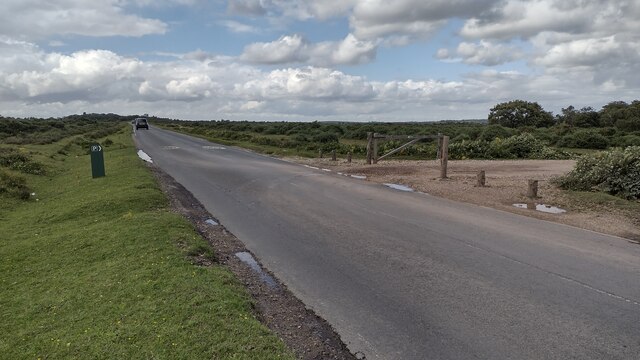
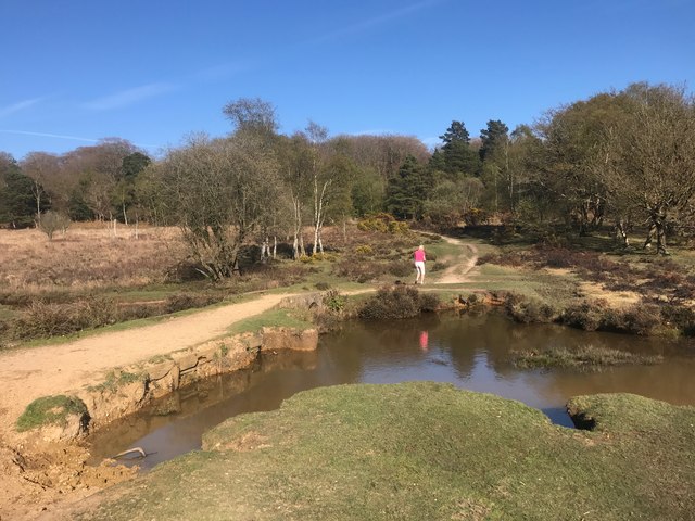
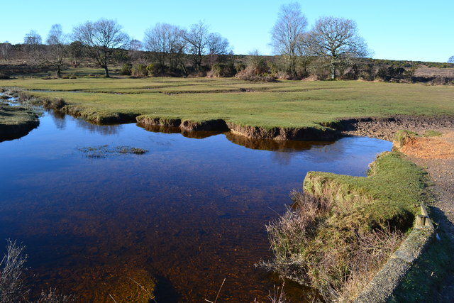
Harvest Slade Bottom is a picturesque valley located in Hampshire, England. Nestled amidst rolling hills and lush greenery, it is a haven of natural beauty and tranquility. The valley is named after the Slade River that meanders through its heart, providing a serene and idyllic setting.
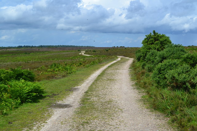
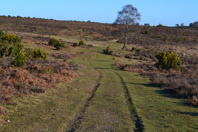
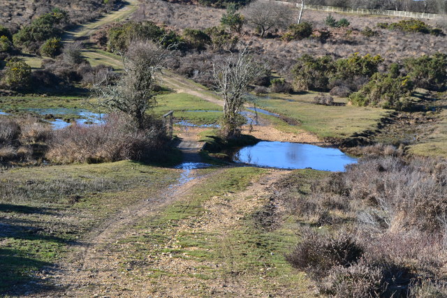
Covering an area of approximately 5 square miles, Harvest Slade Bottom is characterized by its diverse landscape. The valley boasts expansive meadows, dense woodlands, and charming streams that contribute to its scenic allure. The region's fertile soil and favorable climate make it an ideal location for agricultural activities, resulting in thriving farmlands and bountiful harvests.
The valley is home to a rich array of flora and fauna, creating an ecosystem that supports a variety of wildlife. Visitors can spot native species such as deer, foxes, rabbits, and numerous bird species, making it an excellent destination for nature enthusiasts and wildlife photographers.
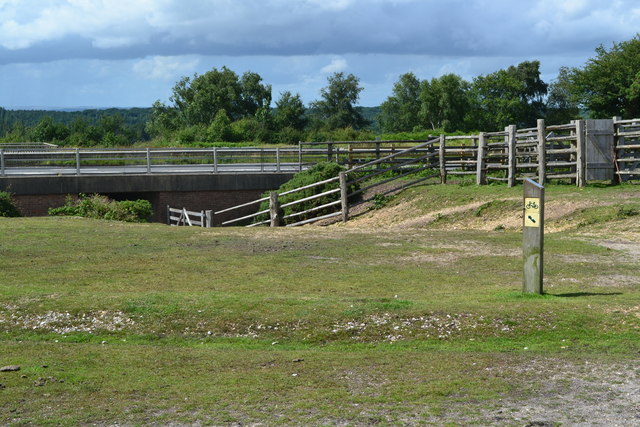
In addition to its natural charm, Harvest Slade Bottom also offers ample recreational opportunities. The valley features numerous walking trails and cycling routes that allow visitors to explore its beauty at their own pace. The Slade River is a popular spot for fishing and boating, while the surrounding hills provide excellent vantage points for panoramic views of the valley.
Harvest Slade Bottom truly encapsulates the essence of Hampshire's countryside, offering a peaceful retreat from the hustle and bustle of city life. Whether it's a leisurely stroll through its meadows or a picnic by the riverbank, the valley promises a memorable experience for all who venture into its enchanting embrace.
If you have any feedback on the listing, please let us know in the comments section below.
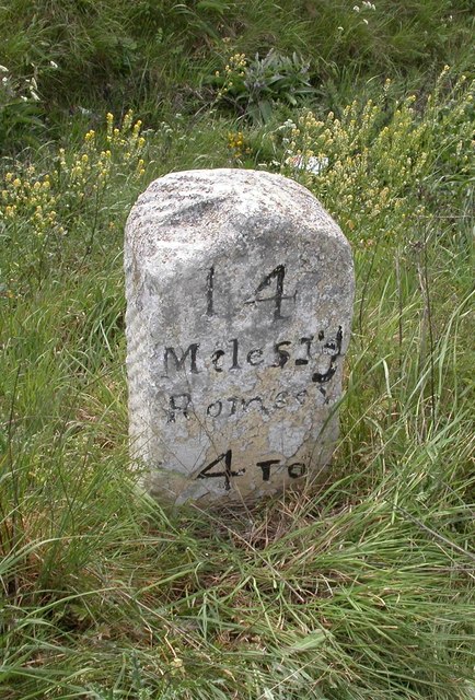
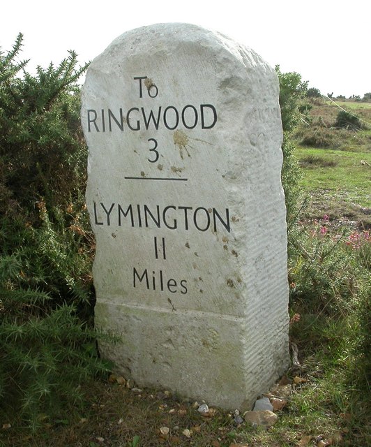
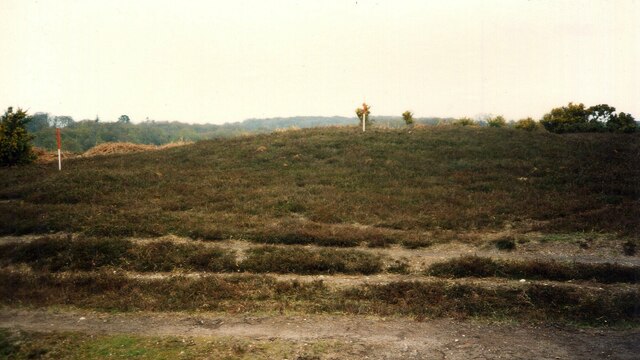
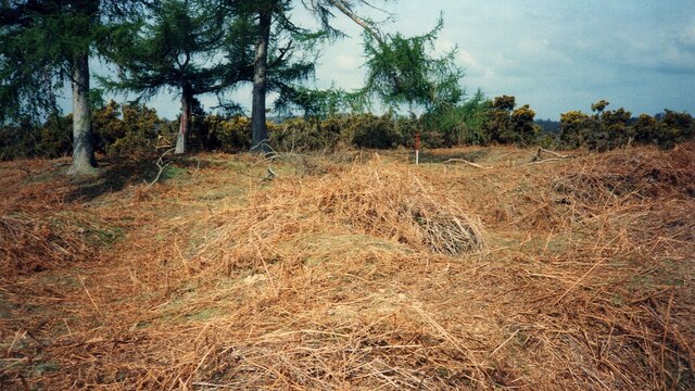
Harvest Slade Bottom Images
Images are sourced within 2km of 50.855848/-1.700611 or Grid Reference SU2106. Thanks to Geograph Open Source API. All images are credited.


Harvest Slade Bottom is located at Grid Ref: SU2106 (Lat: 50.855848, Lng: -1.700611)
Administrative County: Hampshire
District: New Forest
Police Authority: Hampshire
What 3 Words
///tadpole.tested.locker. Near Burley, Hampshire
Nearby Locations
Related Wikis

Picket Post
Picket Post is a road junction and service area in the New Forest National Park of Hampshire, England. It lies on the A31 road. == Facilities == Picket...

Castle Hill, Hampshire
Castle Hill is the site of an Iron Age univallate hillfort located in the civil parish of Burley in the New Forest national park in Hampshire, England...

Shobley
Shobley is a small hamlet in the New Forest National Park of Hampshire, England. Its nearest town is Ringwood, which lies approximately 1.8 miles (2.9...
Picket Hill
Picket Hill is a hamlet next to Picket Post in the New Forest National Park of Hampshire, England. It lies on the outskirts of Ringwood.
Linford, Hampshire
Linford is a hamlet in the New Forest district of Hampshire, England, close to the market town of Ringwood. It is about 1.5 miles east of Ringwood. It...

Burley, Hampshire
Burley is a village and civil parish in the New Forest, Hampshire, England. It has ancient origins and is now somewhat tourist-orientated. == The village... ==
Forest Corner
Forest Corner is a village in the New Forest National Park of Hampshire, England. It is on the A31 road travelling between Southampton and Bournemouth...

Linwood, Hampshire
Linwood is a hamlet in the New Forest National Park of Hampshire, England. Its nearest town is Ringwood, which lies approximately 4.2 miles (5.9 km) south...
Related Videos

Trip to Picket Post Car Park View Point - New forest national park | Vlog #136
tripcivlog #newforest #newforestnationalpark #picketpostcarpark Holiday Packages - All Over India ----------------------- Mail yout ...

Family adventures - Blackwater and Bolderwood #newforest
On this Family adventure we went to Blackwater and Bolderwood in the New Forest. Both walks are short and very easy for the ...

2019 SsangYong Tivoli 1.6 E-XGI Ultimate Walkaround
In this video, I travel to the New Forest to walk around a 2019 SsangYong Tivoli Ultimate kindly leant to me for filming by Joseph ...
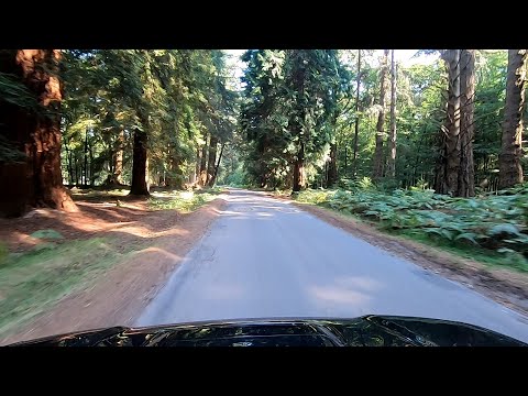
Rhinefield & Bolderwood Arboretum Ornamental Drive (New Forest)
Relaxing journey through woodland on the Rhinefield and Bolderwood Arboretum Ornamental Drive route in the New Forest, ...
Nearby Amenities
Located within 500m of 50.855848,-1.700611Have you been to Harvest Slade Bottom?
Leave your review of Harvest Slade Bottom below (or comments, questions and feedback).