Hope Valley
Valley in Derbyshire Derbyshire Dales
England
Hope Valley
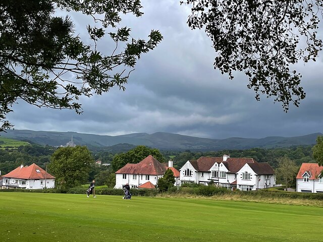
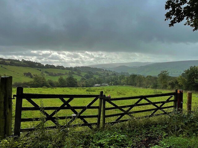
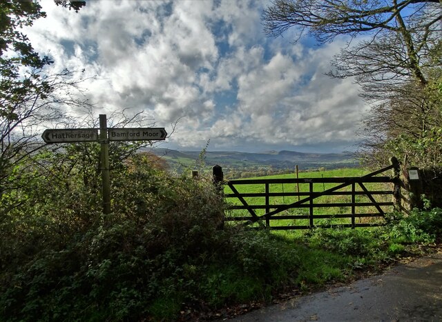
Hope Valley is a picturesque region located in the Peak District of Derbyshire, England. It stretches approximately 16 miles from the charming market town of Hathersage to the village of Hope. Surrounded by rolling hills and dramatic peaks, the valley is renowned for its natural beauty and attracts outdoor enthusiasts from all over.
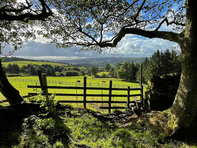
The area is famous for its stunning landscapes, which include Mam Tor, Kinder Scout, and the Great Ridge. These hills provide breathtaking panoramic views and offer a variety of walking and hiking opportunities for visitors. The valley is intersected by the River Noe and the River Derwent, adding to its scenic appeal.
In addition to its natural wonders, the valley is home to several quaint villages and hamlets, including Castleton, Edale, and Bamford. These villages boast traditional stone buildings, charming cottages, and historic churches, providing a glimpse into the area's rich history and heritage.
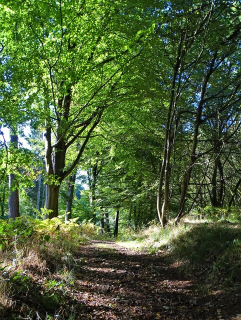
Outdoor activities are abundant in Hope Valley, with opportunities for rock climbing, cycling, horseback riding, and fishing. The region is also a haven for wildlife, with numerous bird species and mammals inhabiting the area.
Visitors to the valley can enjoy a range of amenities, including cozy pubs, tea rooms, and shops selling local produce and crafts. The area is well-served by public transport, making it easily accessible for day trips or longer stays.
Overall, Hope Valley offers a perfect blend of natural beauty, outdoor adventure, and rural charm, making it a popular destination for nature lovers and those seeking a peaceful retreat in the heart of the Peak District.
If you have any feedback on the listing, please let us know in the comments section below.
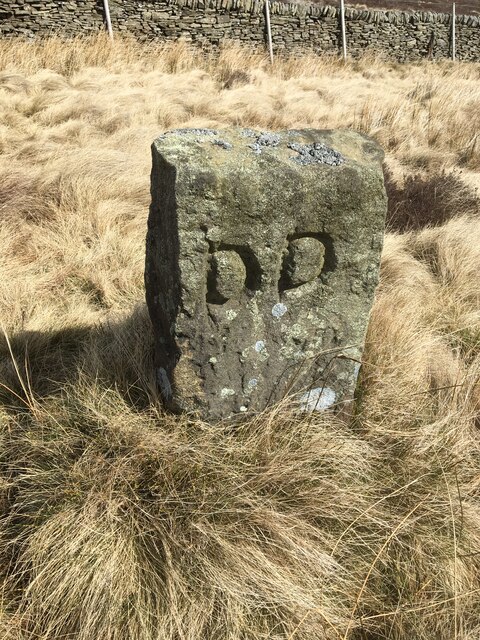
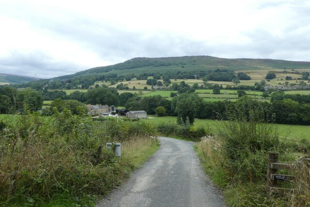
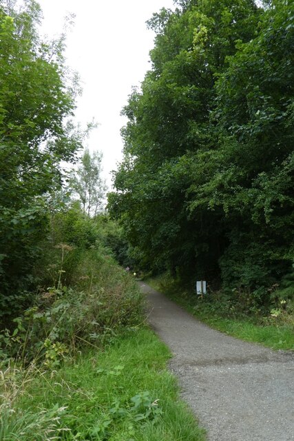
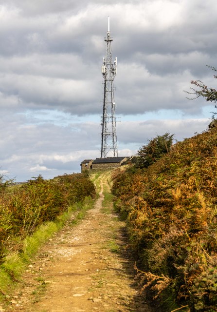
Hope Valley Images
Images are sourced within 2km of 53.335963/-1.6835624 or Grid Reference SK2182. Thanks to Geograph Open Source API. All images are credited.


Hope Valley is located at Grid Ref: SK2182 (Lat: 53.335963, Lng: -1.6835624)
Administrative County: Derbyshire
District: Derbyshire Dales
Police Authority: Derbyshire
What 3 Words
///viewers.objective.prep. Near Hathersage, Derbyshire
Nearby Locations
Related Wikis
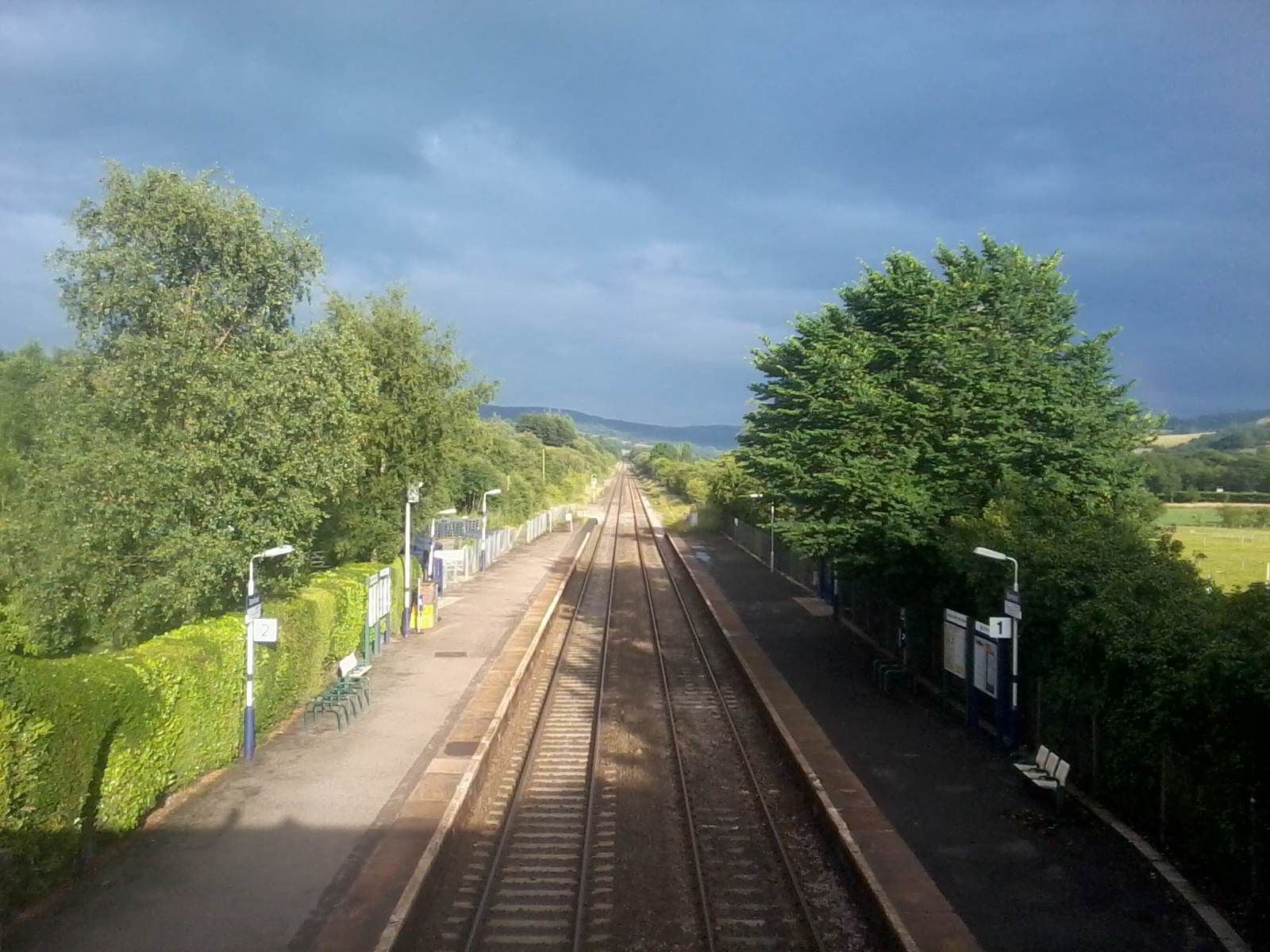
Bamford railway station
Bamford railway station serves the village of Bamford in the Derbyshire Peak District, in England and is managed by Northern Trains. It is located 13 miles...

River Noe
The River Noe is a tributary of the River Derwent in Derbyshire, England. It flows approximately 12 miles (19 km) from its source, the confluence of two...
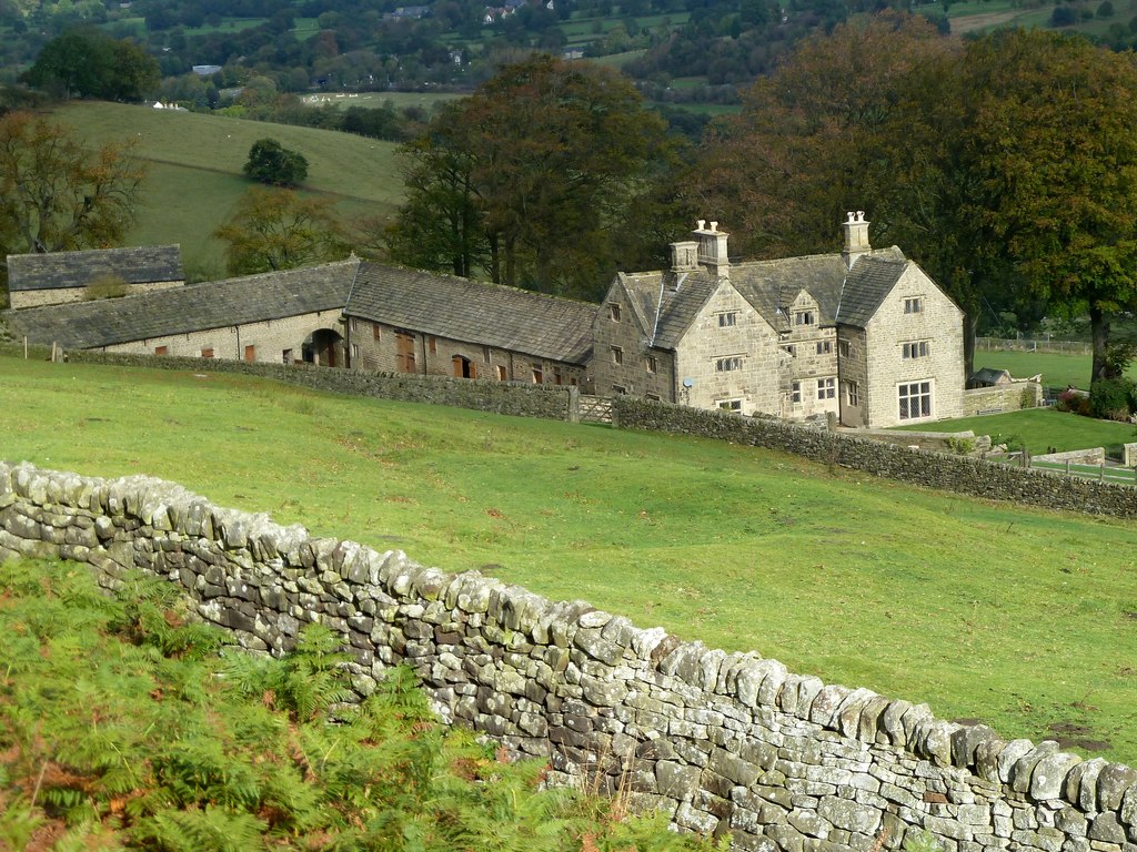
Offerton, Derbyshire
Offerton is a hamlet and civil parish in the Derbyshire Dales district, in Derbyshire, England. It lies on the River Derwent. The village features Offerton...

Bamford
Bamford is a village in the Peak District, Derbyshire, England, close to the River Derwent. To the north-east is Bamford Edge, and to the north-west the...
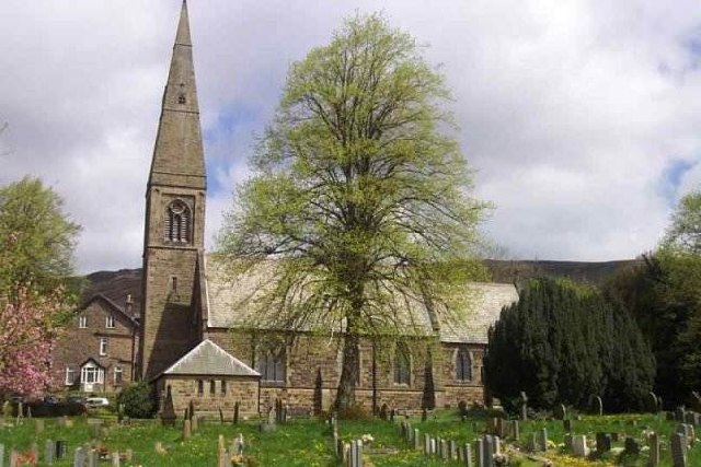
St John the Baptist's Church, Bamford
St John the Baptist church is a C of E church in Bamford in the Hope Valley, Derbyshire, England. == History == The building that is seen today is largely...

Our Lady of Sorrows Church, Bamford
Our Lady of Sorrows Church, Bamford is a Roman Catholic church in the village of Bamford, Derbyshire. The church dates back to the mid-19th century and...

Hathersage
Hathersage ( HATHə-sidge) is a village and civil parish in the Peak District in Derbyshire, England. It lies slightly to the north of the River Derwent...

Hood Brook
Hood Brook is a stream in the Derbyshire Peak District, originating near Stanage Edge, close to Robin Hoods Cave. == Background == Hood Brook flows south...
Nearby Amenities
Located within 500m of 53.335963,-1.6835624Have you been to Hope Valley?
Leave your review of Hope Valley below (or comments, questions and feedback).