Bamford Clough
Valley in Derbyshire High Peak
England
Bamford Clough
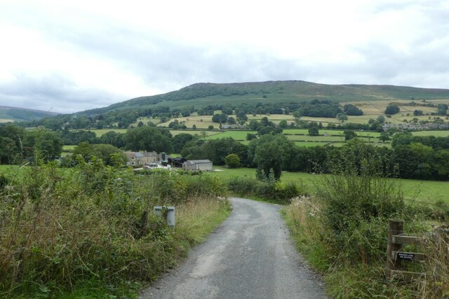
Bamford Clough is a picturesque valley located in the Derbyshire Dales, England. Nestled within the Peak District National Park, it is a popular destination for outdoor enthusiasts and nature lovers alike. The valley is situated between the villages of Bamford and Grindleford, offering stunning views of the surrounding countryside.
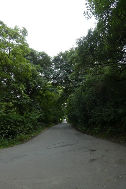
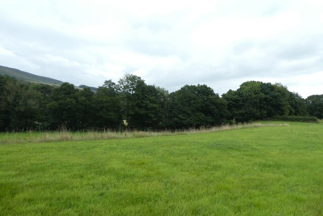
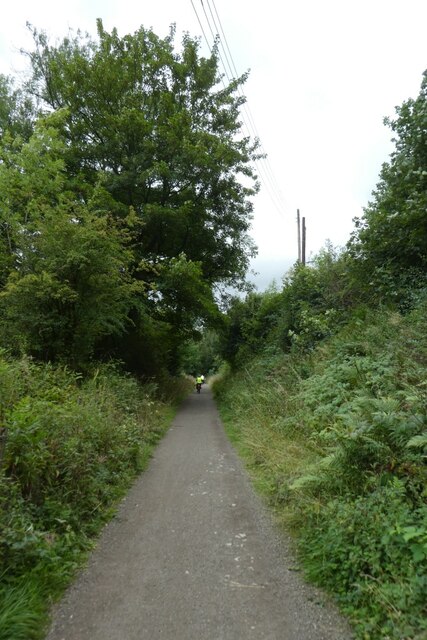
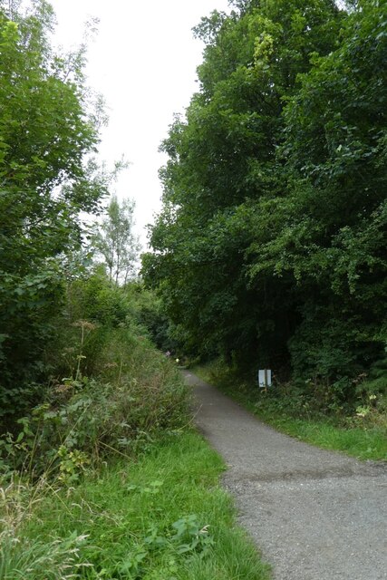
The main attraction of Bamford Clough is its breathtaking natural beauty. Lush green meadows, rolling hills, and ancient woodlands dominate the landscape, creating a serene and peaceful atmosphere. The valley is crisscrossed by numerous walking trails, allowing visitors to explore and immerse themselves in the tranquil surroundings.
One notable feature of Bamford Clough is the River Derwent, which meanders through the valley. The river adds to the charm of the area, providing opportunities for fishing, canoeing, and picnicking along its banks. Wildlife is abundant in the valley, with sightings of deer, foxes, and various bird species being common.
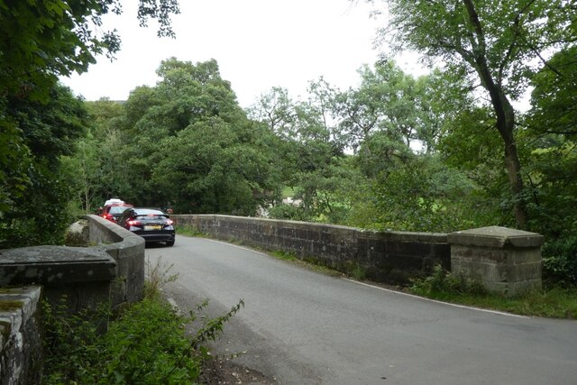
The valley also boasts a rich historical heritage. There are remnants of old lead mines and mill ruins, serving as a reminder of the area's industrial past. Additionally, Bamford Clough is home to several stone bridges and traditional stone cottages, showcasing the architectural beauty of the region.
In terms of amenities, visitors can find a range of accommodation options in the nearby villages, including cozy B&Bs and self-catering cottages. There are also a few pubs and cafes where visitors can relax and enjoy traditional English fare.
Overall, Bamford Clough offers a perfect blend of natural beauty and historical significance, making it a must-visit destination for those seeking a peaceful retreat in the heart of the Derbyshire countryside.
If you have any feedback on the listing, please let us know in the comments section below.
Bamford Clough Images
Images are sourced within 2km of 53.350912/-1.683602 or Grid Reference SK2183. Thanks to Geograph Open Source API. All images are credited.


Bamford Clough is located at Grid Ref: SK2183 (Lat: 53.350912, Lng: -1.683602)
Administrative County: Derbyshire
District: High Peak
Police Authority: Derbyshire
What 3 Words
///skylights.indirect.shell. Near Hathersage, Derbyshire
Nearby Locations
Related Wikis

Our Lady of Sorrows Church, Bamford
Our Lady of Sorrows Church, Bamford is a Roman Catholic church in the village of Bamford, Derbyshire. The church dates back to the mid-19th century and...

Bamford
Bamford is a village in the Peak District, Derbyshire, England, close to the River Derwent. To the north-east is Bamford Edge, and to the north-west the...
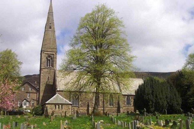
St John the Baptist's Church, Bamford
St John the Baptist church is a C of E church in Bamford in the Hope Valley, Derbyshire, England. == History == The building that is seen today is largely...

Bamford Edge
Bamford Edge is an overhang of gritstone rock that sticks out north of the village of Bamford, Hope Valley, in the English county of Derbyshire. The first...
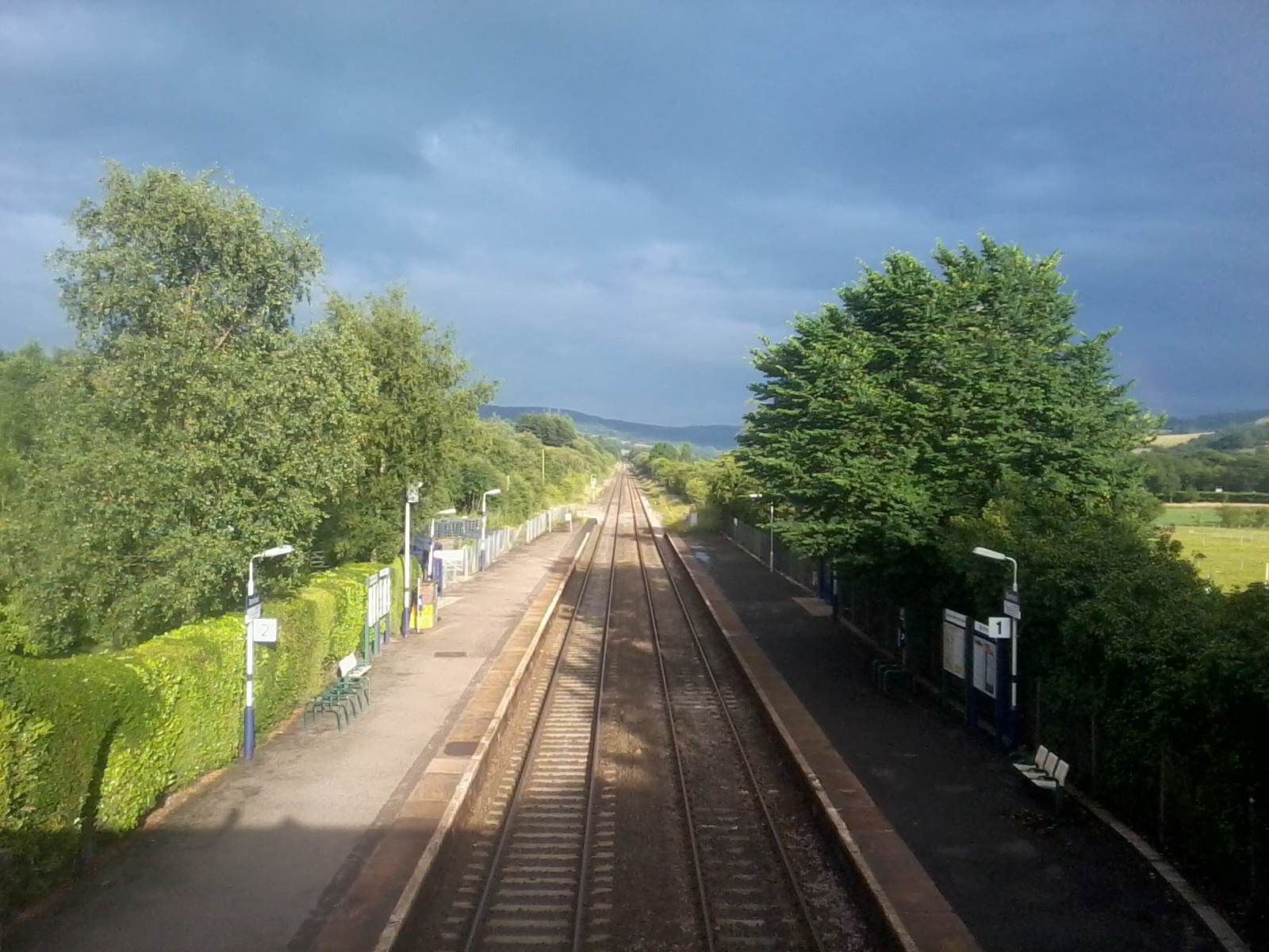
Bamford railway station
Bamford railway station serves the village of Bamford in the Derbyshire Peak District, in England and is managed by Northern Trains. It is located 13 miles...

Thornhill, Derbyshire
Thornhill is a village and civil parish in the county of Derbyshire, England, in the Peak District, south of Ladybower Reservoir and east of Castleton...

River Noe
The River Noe is a tributary of the River Derwent in Derbyshire, England. It flows approximately 12 miles (19 km) from its source, the confluence of two...

Yorkshire Bridge
Yorkshire Bridge is a small hamlet at grid reference SK200850 near the Ladybower Reservoir dam in the English county of Derbyshire. Administratively the...
Nearby Amenities
Located within 500m of 53.350912,-1.683602Have you been to Bamford Clough?
Leave your review of Bamford Clough below (or comments, questions and feedback).