Akercome Bottom
Valley in Hampshire New Forest
England
Akercome Bottom
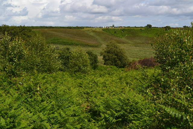
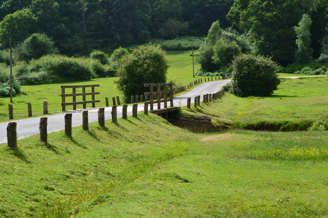
Akercome Bottom is a picturesque valley located in Hampshire, England. Nestled amidst the rolling hills and verdant countryside, this tranquil valley offers a serene escape from the hustle and bustle of urban life.
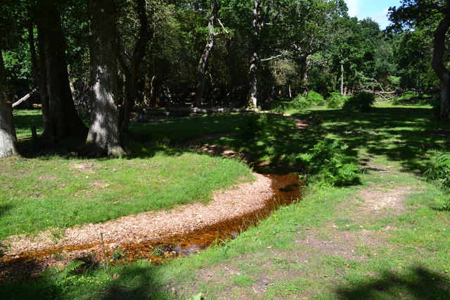
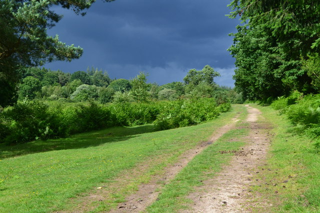
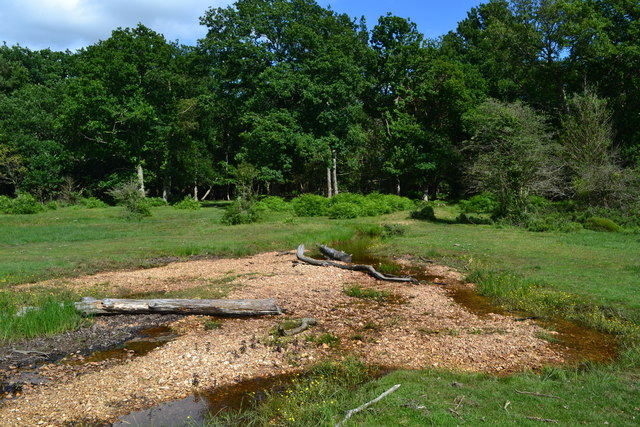
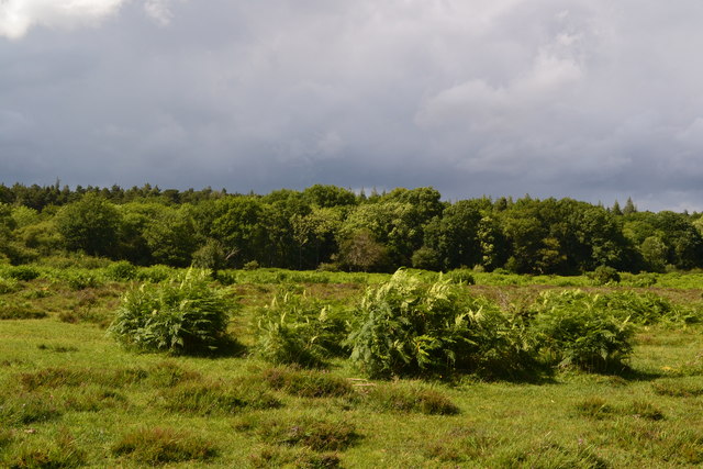
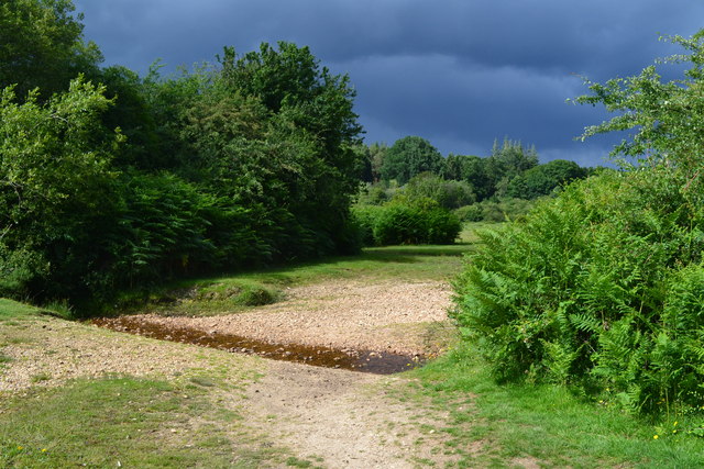
The valley is characterized by its lush green meadows, dotted with grazing sheep and cows. The Akercome River meanders through the valley, adding to its scenic beauty. The river is known for its crystal-clear waters, which are home to various species of fish, making it a popular spot for fishing enthusiasts.
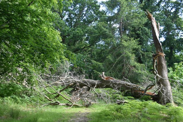
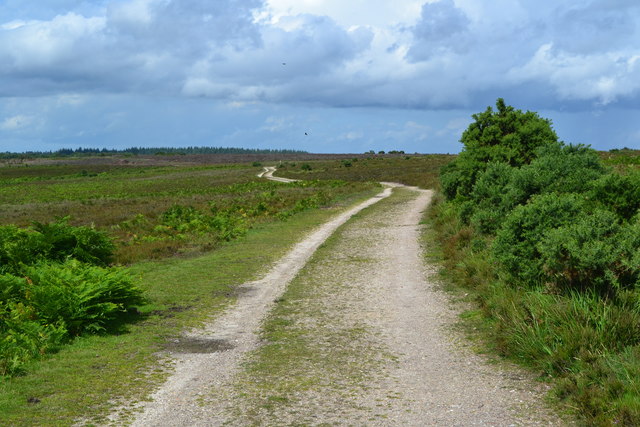
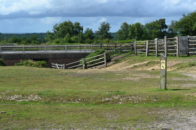
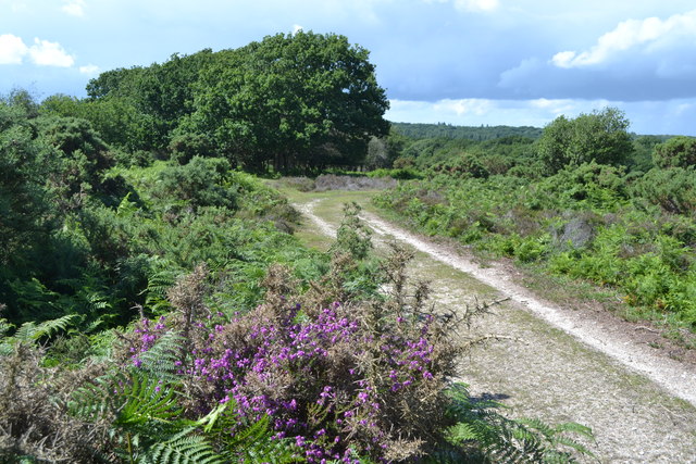
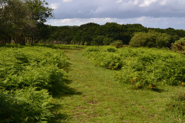
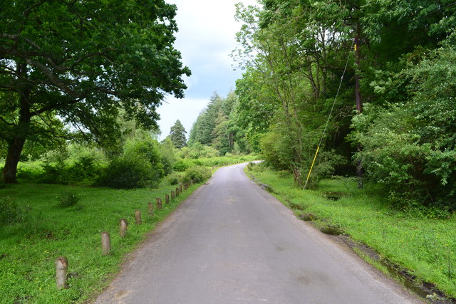
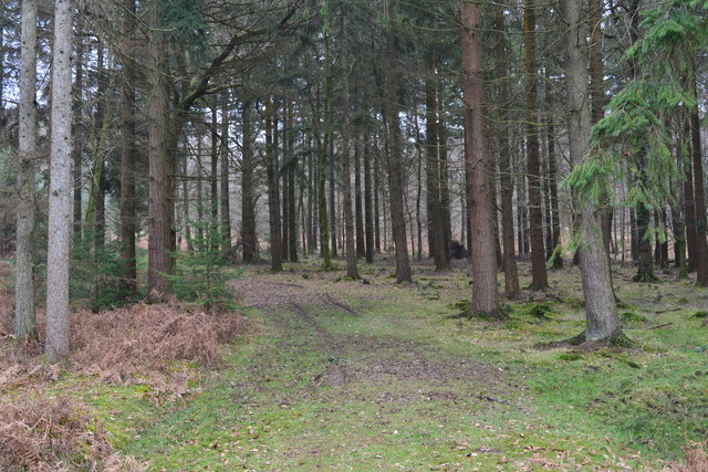
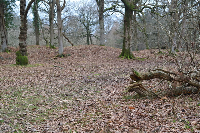
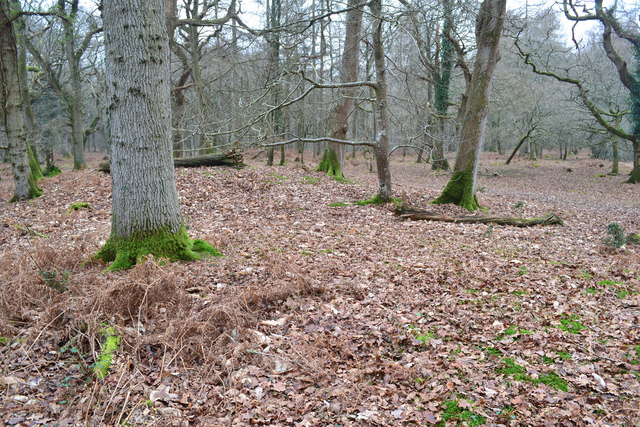
Surrounded by dense woodlands, Akercome Bottom is a haven for nature lovers and wildlife enthusiasts. The valley is home to a diverse range of flora and fauna, including rare species of birds and butterflies. Walking trails crisscross the valley, allowing visitors to explore its natural wonders and take in the breathtaking views.
The tranquility of Akercome Bottom makes it an ideal destination for outdoor activities such as hiking, picnicking, and photography. The valley also offers ample opportunities for camping, with several campsites available for visitors to spend the night under the starry sky.
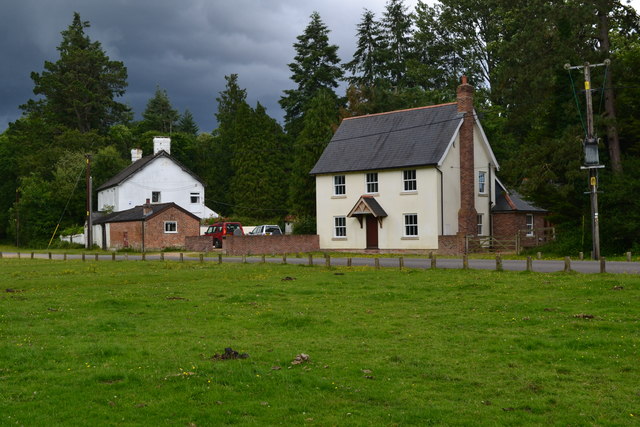
Akercome Bottom is steeped in history and boasts several historical landmarks. The nearby Akercome Manor, a stunning medieval manor house, is a must-visit for history enthusiasts. The manor's well-preserved architecture and beautiful gardens provide a glimpse into the area's rich past.
In conclusion, Akercome Bottom is a hidden gem in Hampshire, offering a perfect blend of natural beauty, tranquility, and historical charm. Whether you seek a peaceful retreat or an adventure in the great outdoors, this idyllic valley has something to offer for everyone.
If you have any feedback on the listing, please let us know in the comments section below.
Akercome Bottom Images
Images are sourced within 2km of 50.866845/-1.7220691 or Grid Reference SU1907. Thanks to Geograph Open Source API. All images are credited.
Akercome Bottom is located at Grid Ref: SU1907 (Lat: 50.866845, Lng: -1.7220691)
Administrative County: Hampshire
District: New Forest
Police Authority: Hampshire
What 3 Words
///spoiled.bleaker.bedrock. Near Burley, Hampshire
Nearby Locations
Related Wikis

Picket Post
Picket Post is a road junction and service area in the New Forest National Park of Hampshire, England. It lies on the A31 road. == Facilities == Picket...

Linford, Hampshire
Linford is a hamlet in the New Forest district of Hampshire, England, close to the market town of Ringwood. It is about 1.5 miles east of Ringwood. It...
Shobley
Shobley is a small hamlet in the New Forest National Park of Hampshire, England. Its nearest town is Ringwood, which lies approximately 1.8 miles (2.9...

Linwood, Hampshire
Linwood is a hamlet in the New Forest National Park of Hampshire, England. Its nearest town is Ringwood, which lies approximately 4.2 miles (5.9 km) south...
Picket Hill
Picket Hill is a hamlet next to Picket Post in the New Forest National Park of Hampshire, England. It lies on the outskirts of Ringwood.
Forest Corner
Forest Corner is a village in the New Forest National Park of Hampshire, England. It is on the A31 road travelling between Southampton and Bournemouth...
Highwood, Hampshire
Highwood is a hamlet in the New Forest National Park of Hampshire, England. According to the Post Office the population of the hamlet at the 2011 Census...

Hangersley
Hangersley is a hamlet in the New Forest National Park of Hampshire, England. It only lies exactly 1 mile (1.5 km) from Ringwood, its nearest town. �...
Nearby Amenities
Located within 500m of 50.866845,-1.7220691Have you been to Akercome Bottom?
Leave your review of Akercome Bottom below (or comments, questions and feedback).