Marrowbones Hill
Hill, Mountain in Hampshire New Forest
England
Marrowbones Hill
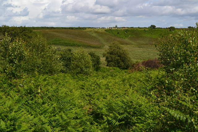
Marrowbones Hill, located in Hampshire, England, is a prominent hill standing at an elevation of approximately 193 meters (633 feet) above sea level. It lies within the South Downs National Park, an area renowned for its stunning landscapes and natural beauty. With its commanding position, Marrowbones Hill offers panoramic views of the surrounding countryside, including the picturesque Meon Valley.
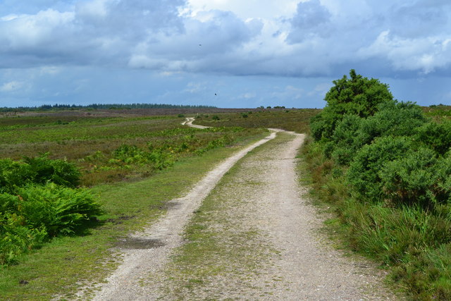
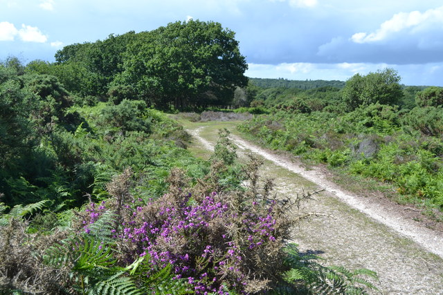
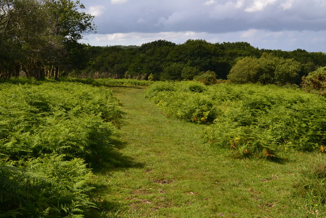
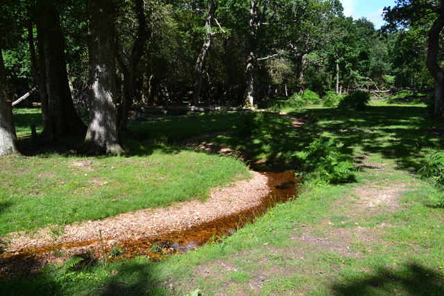
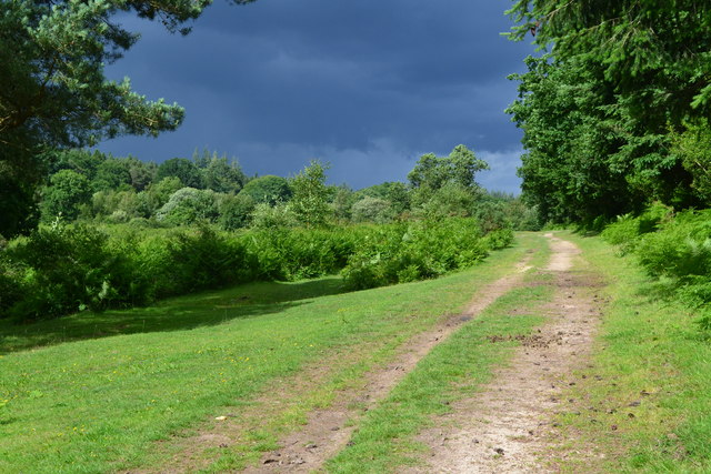
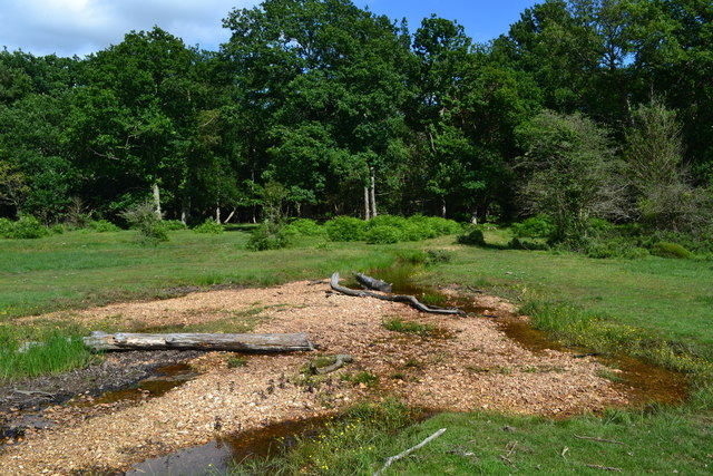
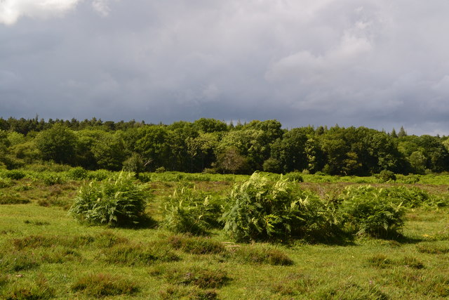
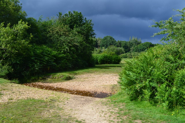
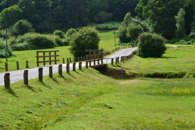
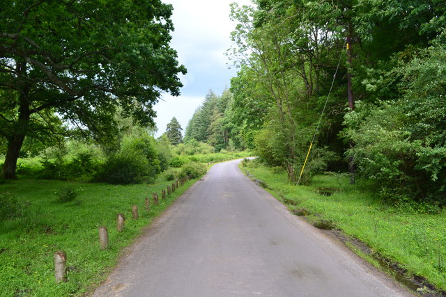
The hill is a popular destination for hikers and nature enthusiasts, providing a range of walking trails that cater to different abilities and interests. The paths wind through lush green meadows, ancient woodlands, and rolling hills, offering visitors a chance to experience the diverse flora and fauna of the region. The area is especially renowned for its vibrant wildflower displays during spring and summer.
Marrowbones Hill is also of historical significance, with traces of human activity dating back to the Neolithic period. Archaeological excavations have revealed the presence of ancient burial mounds, indicating that the hill held cultural and spiritual importance to early civilizations. Today, it remains a site of interest for those interested in the area's rich history.
Aside from its natural and historical attractions, Marrowbones Hill offers a peaceful and tranquil setting for visitors seeking respite from the hustle and bustle of everyday life. Its unspoiled surroundings make it an ideal spot for picnics, birdwatching, and simply immersing oneself in the beauty of nature. Whether it's for leisurely walks, outdoor adventures, or a moment of quiet reflection, Marrowbones Hill is a gem in the Hampshire countryside.
If you have any feedback on the listing, please let us know in the comments section below.
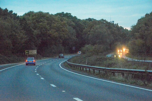
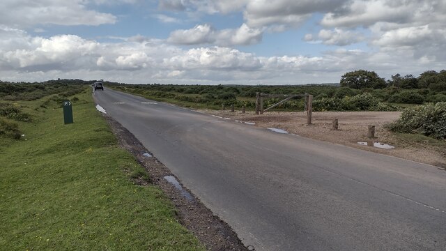
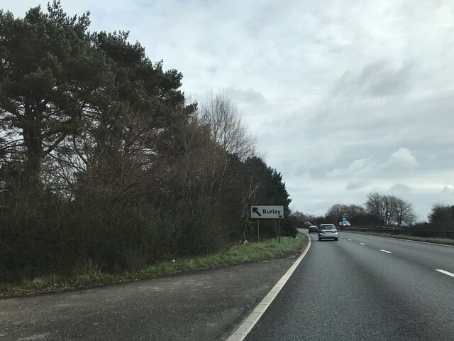
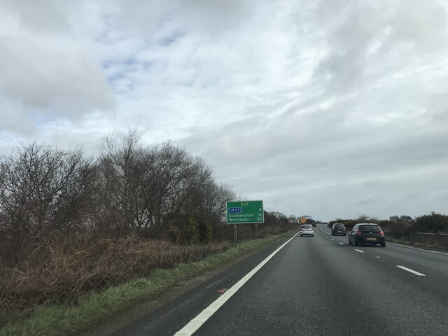
Marrowbones Hill Images
Images are sourced within 2km of 50.862715/-1.7286723 or Grid Reference SU1907. Thanks to Geograph Open Source API. All images are credited.


Marrowbones Hill is located at Grid Ref: SU1907 (Lat: 50.862715, Lng: -1.7286723)
Administrative County: Hampshire
District: New Forest
Police Authority: Hampshire
What 3 Words
///excellent.magazines.seasick. Near Burley, Hampshire
Nearby Locations
Related Wikis

Picket Post
Picket Post is a road junction and service area in the New Forest National Park of Hampshire, England. It lies on the A31 road. == Facilities == Picket...

Linford, Hampshire
Linford is a hamlet in the New Forest district of Hampshire, England, close to the market town of Ringwood. It is about 1.5 miles east of Ringwood. It...
Shobley
Shobley is a small hamlet in the New Forest National Park of Hampshire, England. Its nearest town is Ringwood, which lies approximately 1.8 miles (2.9...
Picket Hill
Picket Hill is a hamlet next to Picket Post in the New Forest National Park of Hampshire, England. It lies on the outskirts of Ringwood.
Forest Corner
Forest Corner is a village in the New Forest National Park of Hampshire, England. It is on the A31 road travelling between Southampton and Bournemouth...

Hangersley
Hangersley is a hamlet in the New Forest National Park of Hampshire, England. It only lies exactly 1 mile (1.5 km) from Ringwood, its nearest town. �...
Highwood, Hampshire
Highwood is a hamlet in the New Forest National Park of Hampshire, England. According to the Post Office the population of the hamlet at the 2011 Census...

Linwood, Hampshire
Linwood is a hamlet in the New Forest National Park of Hampshire, England. Its nearest town is Ringwood, which lies approximately 4.2 miles (5.9 km) south...
Nearby Amenities
Located within 500m of 50.862715,-1.7286723Have you been to Marrowbones Hill?
Leave your review of Marrowbones Hill below (or comments, questions and feedback).