Parkin Clough
Valley in Derbyshire High Peak
England
Parkin Clough
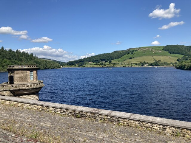
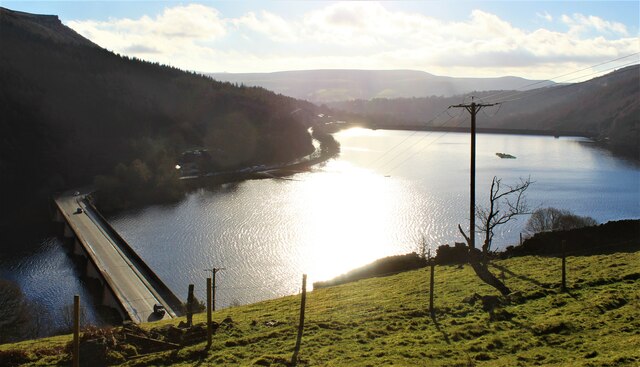
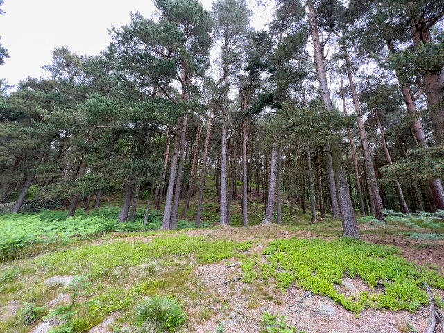
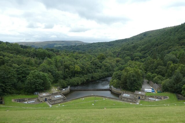
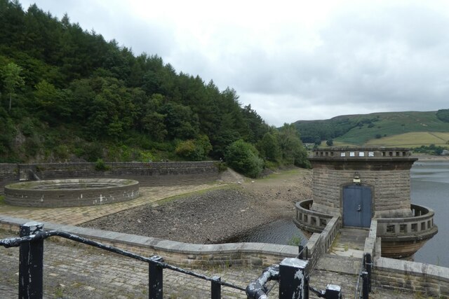
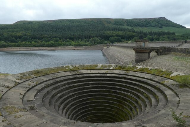
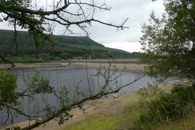
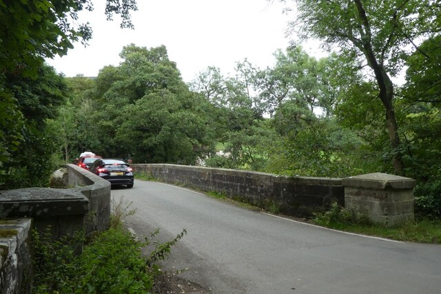
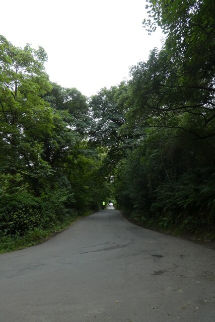
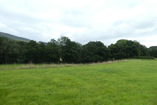
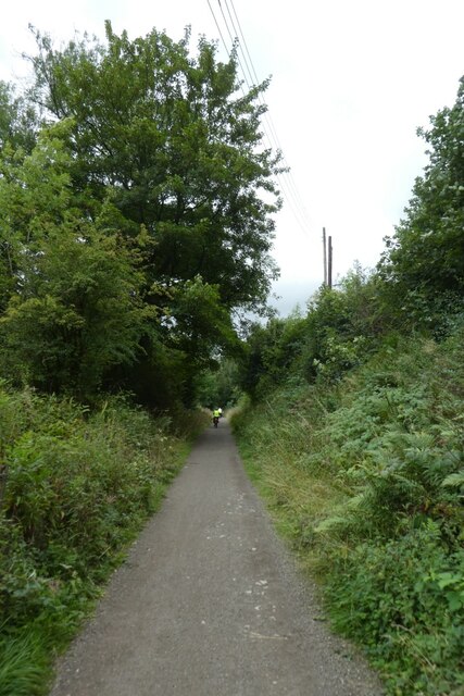
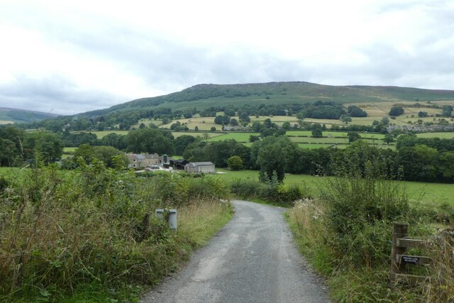
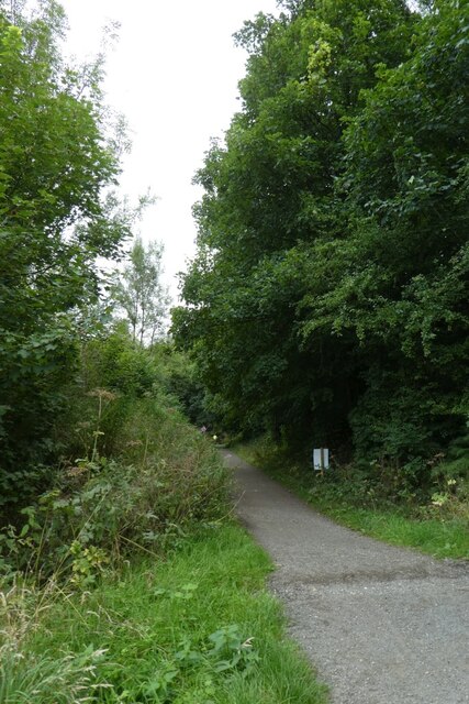
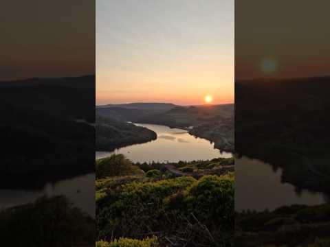
Parkin Clough is a picturesque valley located in Derbyshire, England. Situated in the Peak District National Park, it offers breathtaking natural beauty and a peaceful retreat for visitors. The valley is nestled between rolling hills and is characterized by its lush greenery, meandering streams, and charming stone bridges.
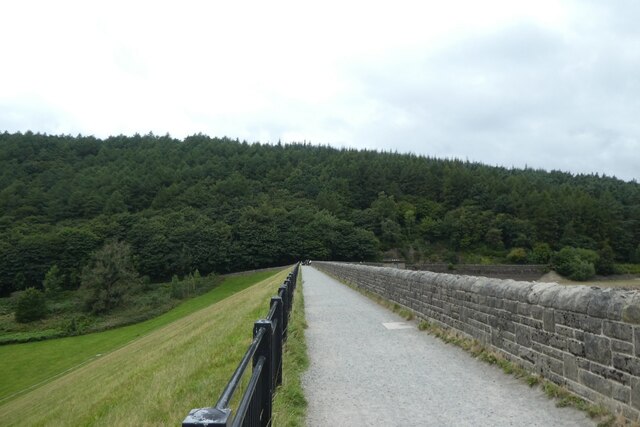
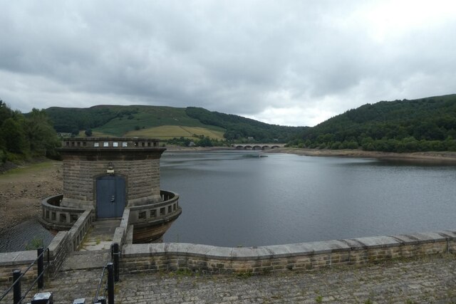
The area is popular with hikers and nature enthusiasts due to its extensive network of walking trails. These trails provide access to stunning viewpoints, ancient woodlands, and cascading waterfalls. The valley is also home to a diverse range of wildlife, including birds, deer, and various species of plants and flowers.
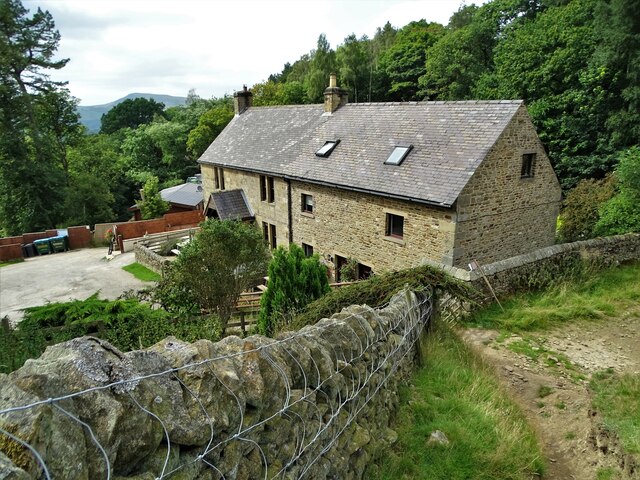
One of the main attractions in Parkin Clough is the Parkin Clough Farm, which dates back to the 17th century. The farm offers visitors the opportunity to learn about traditional farming practices and experience rural life firsthand. Additionally, there are various picnic spots and benches scattered throughout the valley, allowing visitors to relax and enjoy the tranquil surroundings.
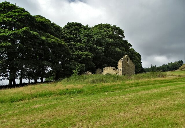
The valley is also known for its rich history, with evidence of human activity dating back thousands of years. Archaeological sites and ancient ruins can be found in the vicinity, providing a fascinating glimpse into the past. Furthermore, Parkin Clough is located near several historic villages and towns, such as Castleton and Bakewell, where visitors can explore quaint shops, cafes, and historical landmarks.
Overall, Parkin Clough in Derbyshire is a haven for nature lovers and history enthusiasts alike. Its stunning landscapes, diverse wildlife, and cultural heritage make it a must-visit destination for anyone seeking a peaceful and enriching experience in the heart of the English countryside.
If you have any feedback on the listing, please let us know in the comments section below.
Parkin Clough Images
Images are sourced within 2km of 53.362219/-1.708282 or Grid Reference SK1985. Thanks to Geograph Open Source API. All images are credited.
Parkin Clough is located at Grid Ref: SK1985 (Lat: 53.362219, Lng: -1.708282)
Administrative County: Derbyshire
District: High Peak
Police Authority: Derbyshire
What 3 Words
///sleepless.glory.spot. Near Hope Valley, Derbyshire
Nearby Locations
Related Wikis

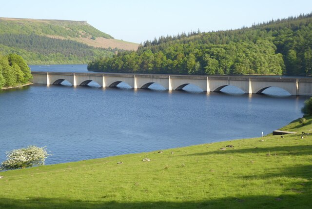
Yorkshire Bridge
Yorkshire Bridge is a small hamlet at grid reference SK200850 near the Ladybower Reservoir dam in the English county of Derbyshire. Administratively the...

Ashopton
Ashopton was a small village in Derbyshire, England, in the valley of the River Ashop. The village population was less than 100. Details are included in...
Win Hill
Win Hill is a hill north west of Bamford in the Derbyshire Peak District of England. Its summit is 462 m (1,516 ft) above sea level and it is bounded...

Bamford Edge
Bamford Edge is an overhang of gritstone rock that sticks out north of the village of Bamford, Hope Valley, in the English county of Derbyshire. The first...

Birchinlee
Birchinlee is the site of "Tin Town", a village built by the Derwent Valley Water Board for the workers (and their families) who constructed the Derwent...

River Ashop
The River Ashop is a river in the Derbyshire Peak District, England. Its source is on the eastern slopes of Mill Hill, three miles south east of Glossop...

Aston, High Peak
Aston (Old English: East farm or settlement) is a village and civil parish in the High Peak district of Derbyshire, England, located in the Peak District...

Thornhill, Derbyshire
Thornhill is a village and civil parish in the county of Derbyshire, England, in the Peak District, south of Ladybower Reservoir and east of Castleton...
Related Videos

Bamford Edge, Peak District- walking tour- 4K | 2021
26th June 2021 Another beautiful spot to explore in the Peak District. A short uphill hike, with amazing views throughout. You can ...
5km solo sunrise hike in the Peak District #mamtor #hiking #peakdistrict #mamtorsunrise #solohike
I decided to watch the sunrise over mam tor. Waking up at 4am was a struggle but 100% worth it for this incredible view! Hope you ...

Bamford edge 🌅#explore #sunset #peakdistrict #uk #hiking #adventure #chasingsunsets #nature
Bamford edge is a collection of rocks that stick out north of the village of Bamford has some moderately challenging roots has ...
Nearby Amenities
Located within 500m of 53.362219,-1.708282Have you been to Parkin Clough?
Leave your review of Parkin Clough below (or comments, questions and feedback).