Spen Valley Bottoms
Valley in Yorkshire
England
Spen Valley Bottoms
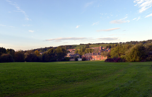
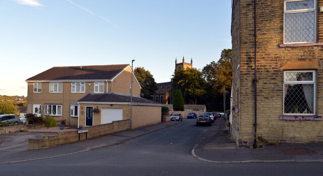
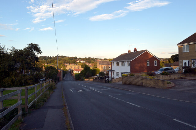
Spen Valley Bottoms is a picturesque valley located in the county of Yorkshire, England. Nestled between the towns of Cleckheaton and Heckmondwike, the valley is renowned for its natural beauty and tranquil atmosphere.
The valley is characterized by its rolling green hills, scattered woodlands, and the meandering River Spen, which flows through its heart. The river adds to the charm of the area, providing a serene backdrop for visitors and locals alike. The lush vegetation that lines its banks also offers a habitat for various species of wildlife, making it a haven for nature enthusiasts.
Spen Valley Bottoms boasts a rich history, with evidence of human habitation dating back to prehistoric times. The area is dotted with archaeological sites, including ancient burial mounds and remnants of Roman settlements, offering a glimpse into the valley's past.
Today, the valley is a popular destination for outdoor activities such as hiking, cycling, and picnicking. There are numerous well-maintained trails that wind through the valley, offering breathtaking views of the surrounding countryside. The peaceful ambiance and stunning landscapes make it an ideal place to escape the hustle and bustle of city life.
Visitors to Spen Valley Bottoms can also explore the nearby historic villages and towns, where they can find charming pubs, traditional Yorkshire tea rooms, and local shops selling handmade crafts and produce.
Overall, Spen Valley Bottoms is a hidden gem in the heart of Yorkshire, offering visitors a chance to connect with nature, explore its rich history, and unwind in its tranquil surroundings.
If you have any feedback on the listing, please let us know in the comments section below.
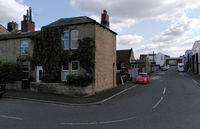
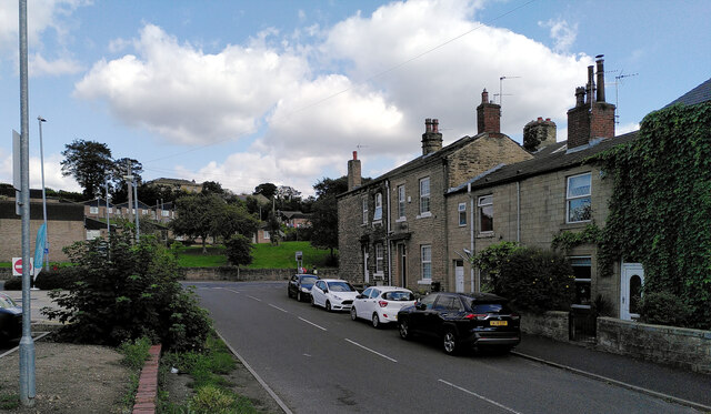
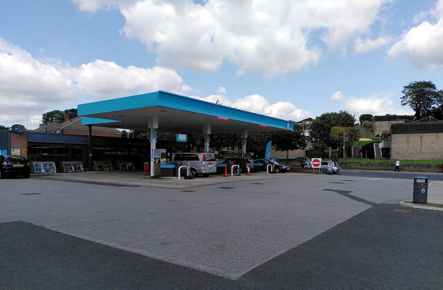
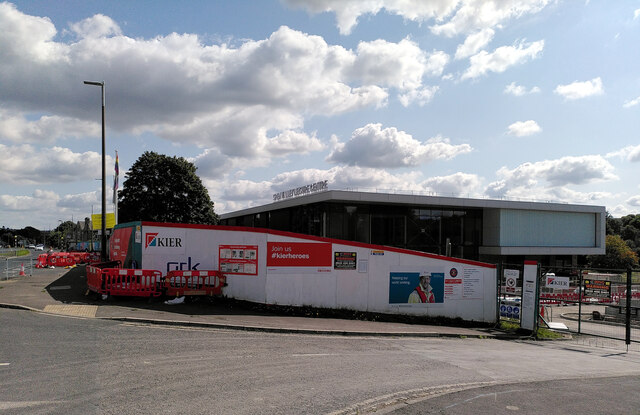
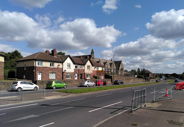
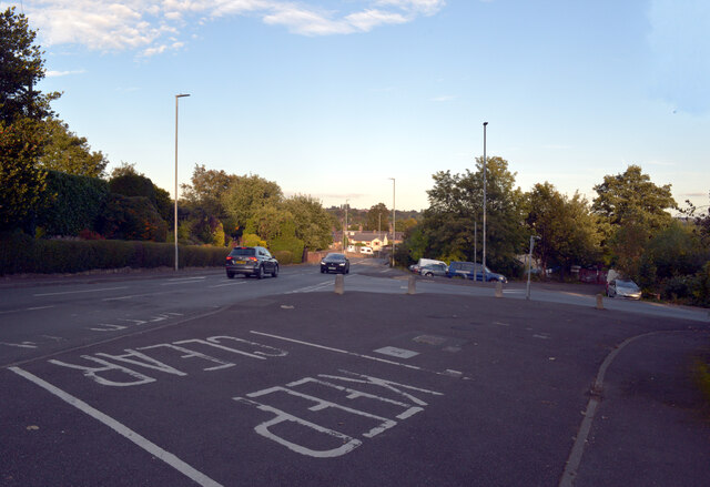
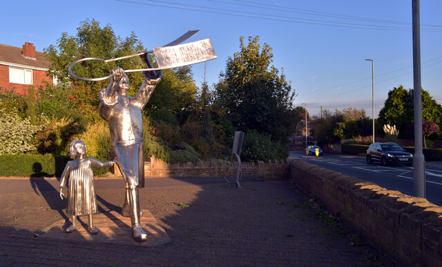
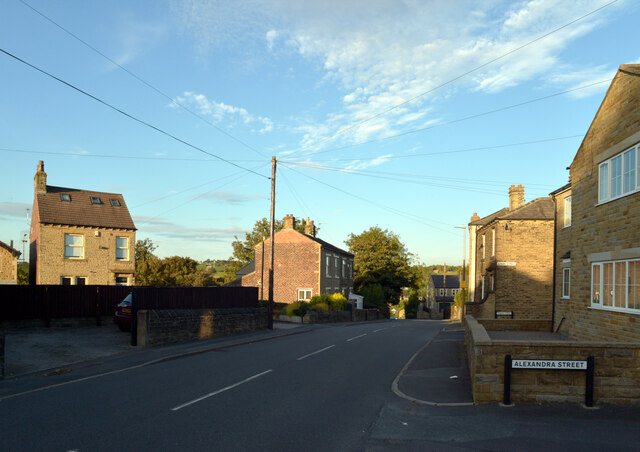
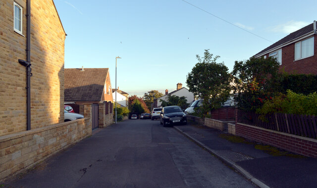
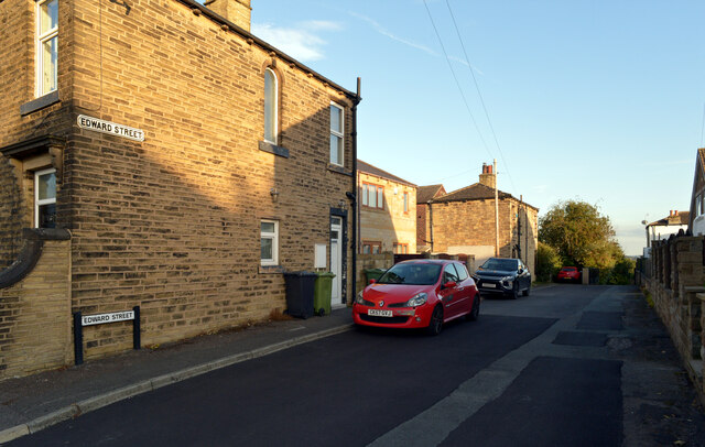
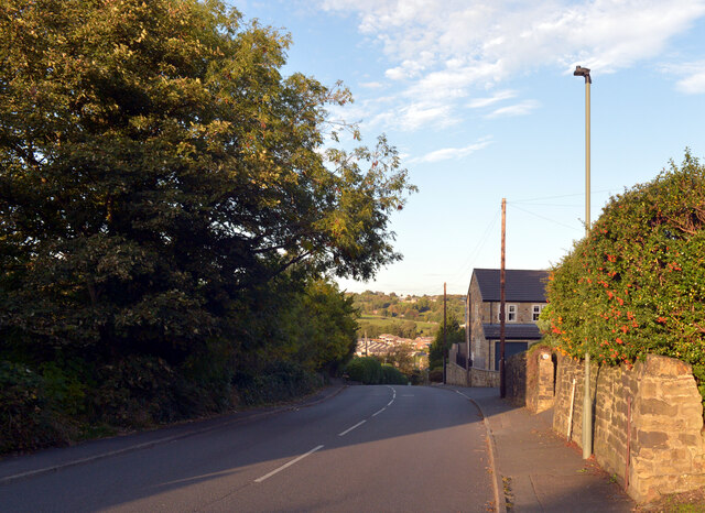
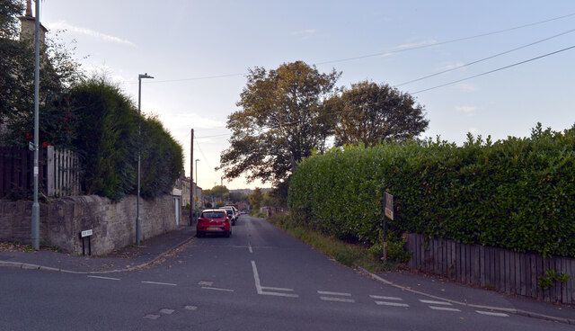
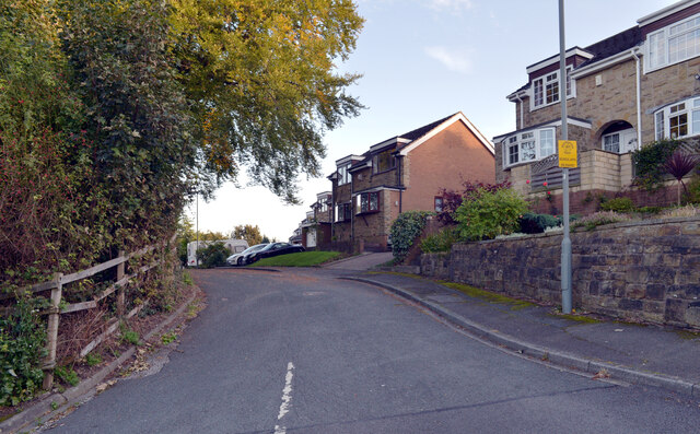
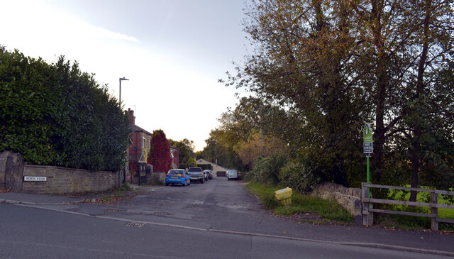
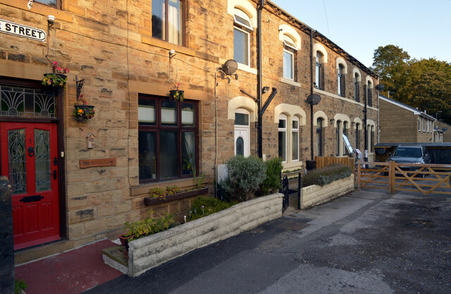
Spen Valley Bottoms Images
Images are sourced within 2km of 53.724985/-1.7060068 or Grid Reference SE1925. Thanks to Geograph Open Source API. All images are credited.
Spen Valley Bottoms is located at Grid Ref: SE1925 (Lat: 53.724985, Lng: -1.7060068)
Division: West Riding
Unitary Authority: Kirklees
Police Authority: West Yorkshire
What 3 Words
///shut.mash.boots. Near Cleckheaton, West Yorkshire
Nearby Locations
Related Wikis

Cleckheaton Spen railway station
Cleckheaton Spen railway station served the town of Cleckheaton, West Yorkshire, England, from 1900 to 1953 on the Leeds New Line. It is one of two disused...

Cleckheaton Town Hall
Cleckheaton Town Hall is a municipal building in Bradford Road, Cleckheaton, West Yorkshire, England. The town hall, which was the headquarters of Spenborough...
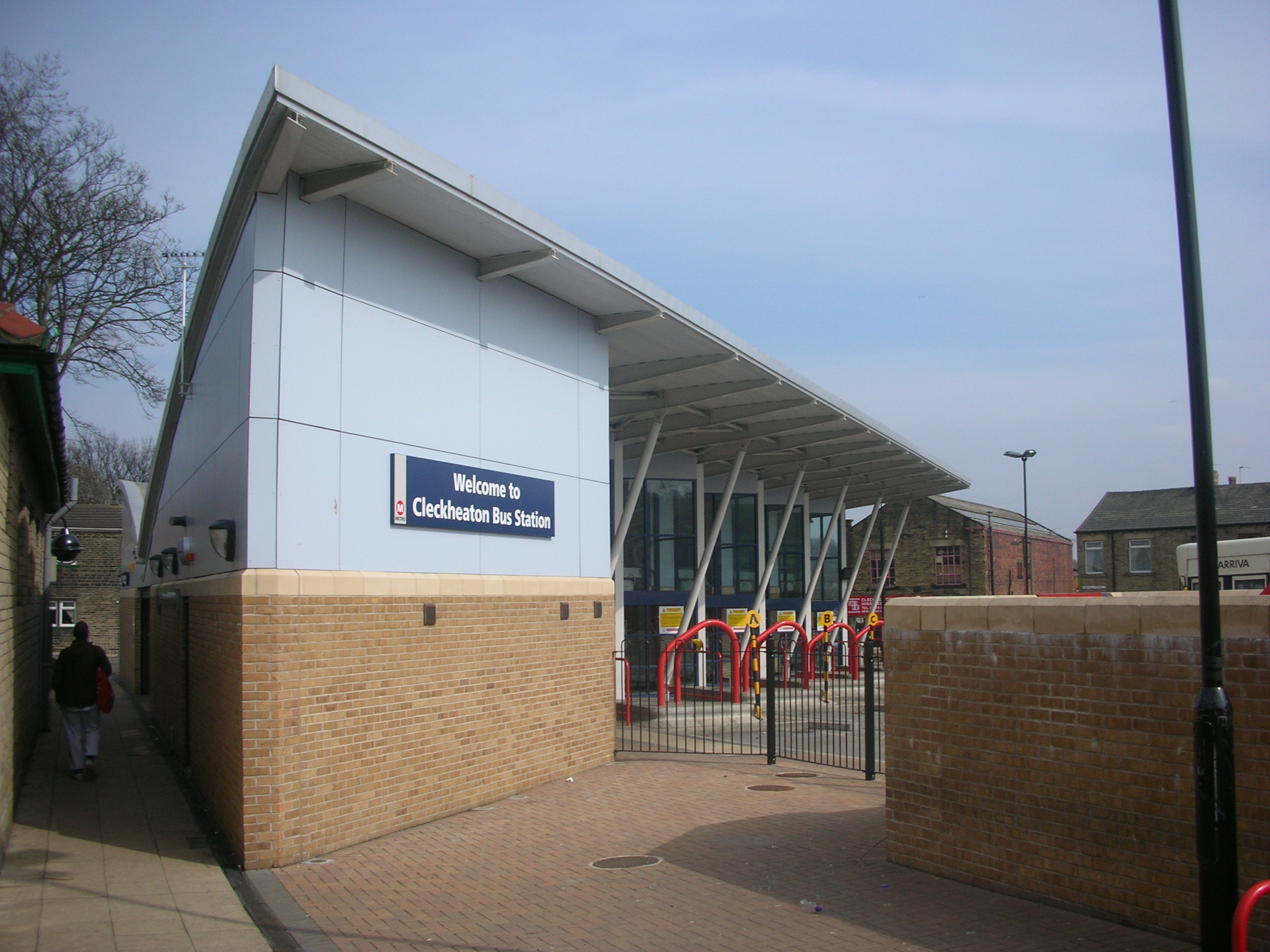
Cleckheaton bus station
Cleckheaton bus station serves the town of Cleckheaton, West Yorkshire, England. The station is owned and maintained by West Yorkshire Metro. It is situated...

Cleckheaton Central railway station
Cleckheaton Central railway station was a railway station serving the West Yorkshire town of Cleckheaton, England, until it was closed in the Beeching...
Nearby Amenities
Located within 500m of 53.724985,-1.7060068Have you been to Spen Valley Bottoms?
Leave your review of Spen Valley Bottoms below (or comments, questions and feedback).