Winhill Plantation
Wood, Forest in Derbyshire High Peak
England
Winhill Plantation
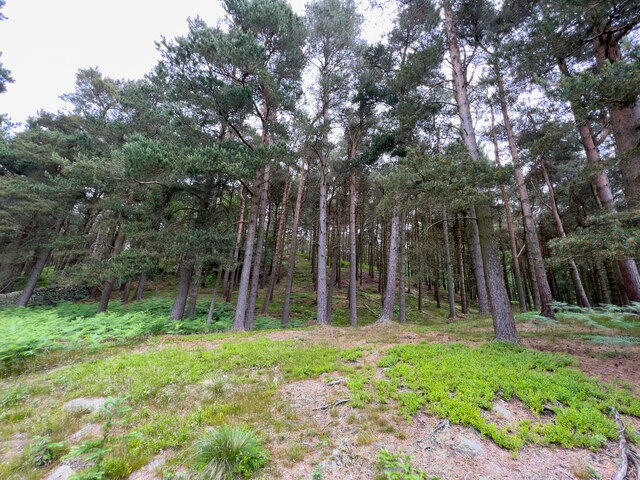
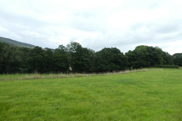
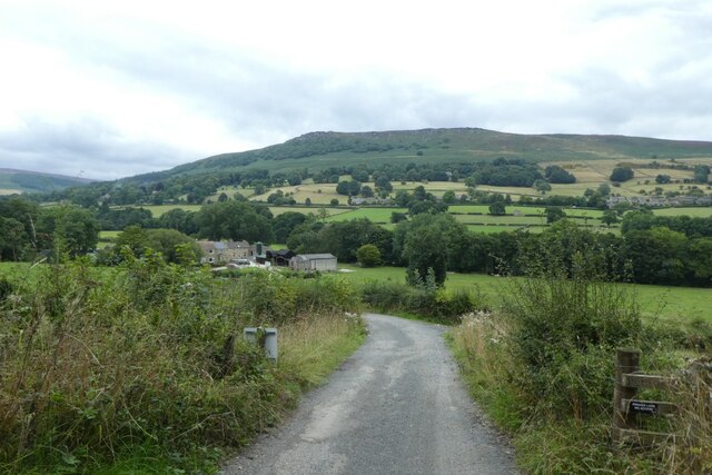
Winhill Plantation is a picturesque woodland located in Derbyshire, England. Situated on the outskirts of the idyllic village of Winhill, this enchanting forest covers an area of approximately 200 acres and is known for its natural beauty and diverse flora and fauna.
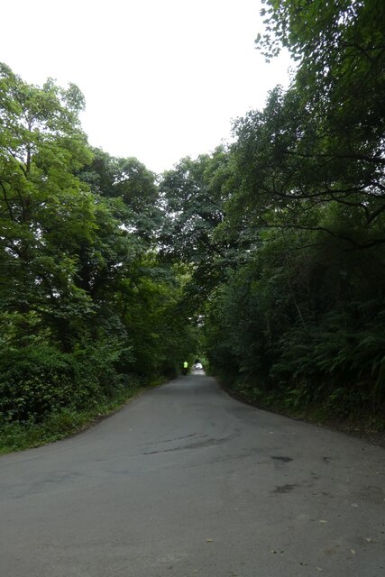
The plantation is characterized by its dense canopy of tall, majestic trees, including oak, beech, and ash, which create a serene and peaceful atmosphere. The forest floor is carpeted with a variety of wildflowers, ferns, and mosses, adding to the charm of this enchanting woodland.
Winhill Plantation is a haven for wildlife, providing a sanctuary for numerous species. Bird enthusiasts can spot a plethora of feathered friends, including woodpeckers, kingfishers, and tawny owls. Squirrels scamper through the treetops, while rabbits and badgers can be glimpsed darting through the undergrowth.
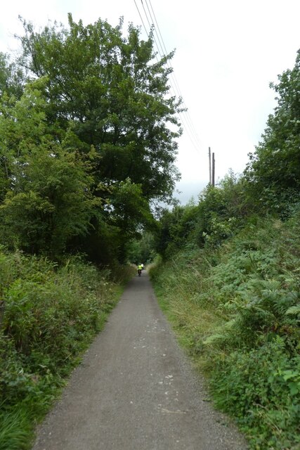
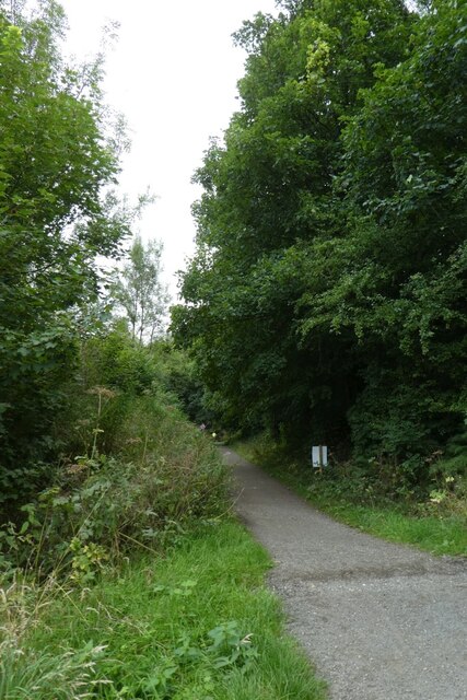
The plantation is a popular destination for outdoor enthusiasts, offering a network of well-maintained walking trails that wind their way through the forest. These trails provide visitors with an opportunity to immerse themselves in nature, breathe in the fresh woodland air, and enjoy the tranquility of the surroundings.
Winhill Plantation is also of historical importance, with remnants of an ancient stone circle dating back to the Bronze Age. This adds an element of mystique to the woodland, inviting visitors to explore its rich past.
Overall, Winhill Plantation is a natural gem in Derbyshire, offering a peaceful retreat for nature lovers and history enthusiasts alike. Its breathtaking beauty and abundant wildlife make it a must-visit destination for anyone seeking rejuvenation and a connection with the natural world.
If you have any feedback on the listing, please let us know in the comments section below.
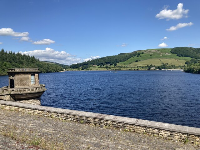
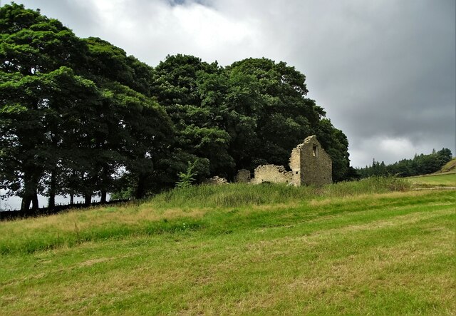
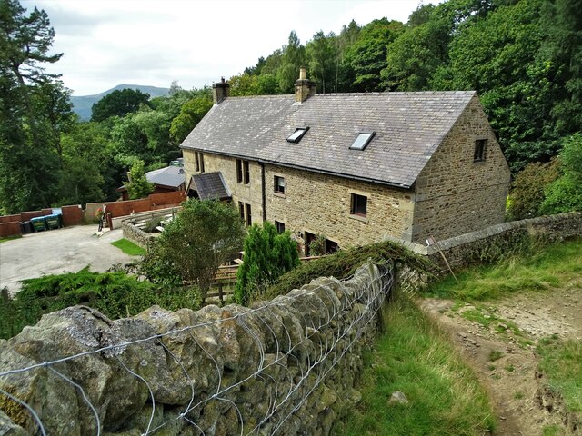
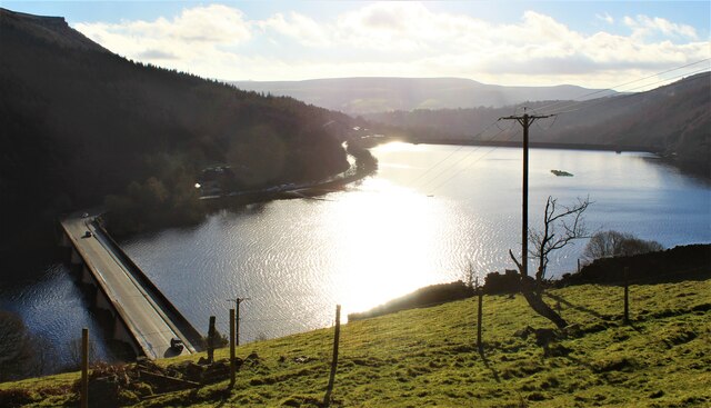
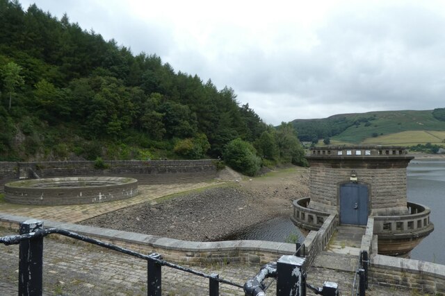
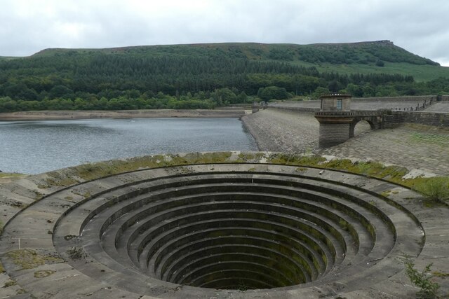
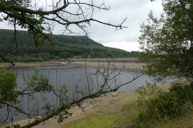
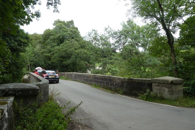
Winhill Plantation Images
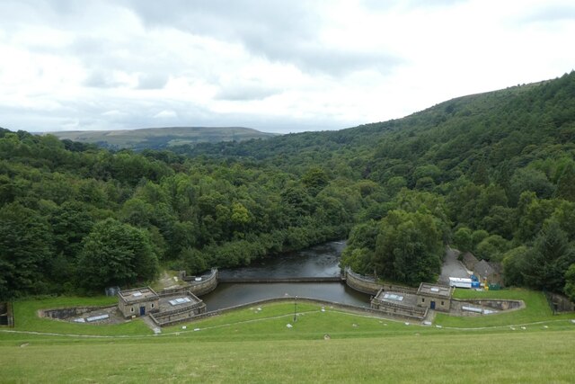
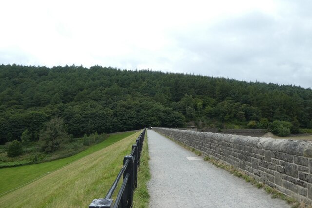
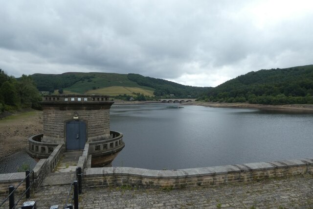
Images are sourced within 2km of 53.362199/-1.7149389 or Grid Reference SK1985. Thanks to Geograph Open Source API. All images are credited.

Winhill Plantation is located at Grid Ref: SK1985 (Lat: 53.362199, Lng: -1.7149389)
Administrative County: Derbyshire
District: High Peak
Police Authority: Derbyshire
What 3 Words
///tram.bookshop.rise. Near Hope Valley, Derbyshire
Nearby Locations
Related Wikis
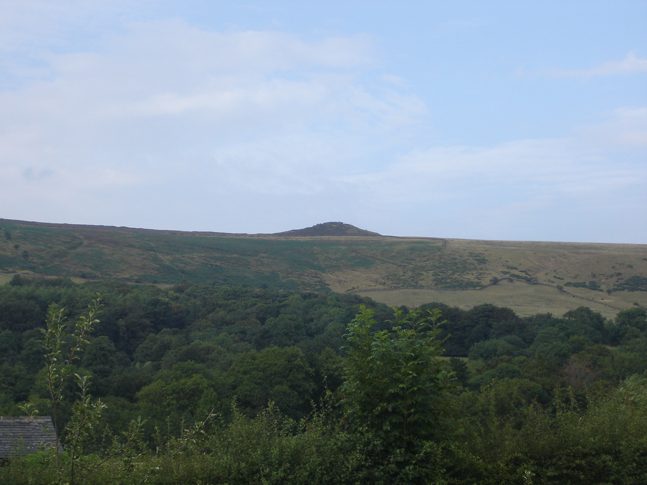
Win Hill
Win Hill is a hill north west of Bamford in the Derbyshire Peak District of England. Its summit is 462 m (1,516 ft) above sea level and it is bounded...

Yorkshire Bridge
Yorkshire Bridge is a small hamlet at grid reference SK200850 near the Ladybower Reservoir dam in the English county of Derbyshire. Administratively the...

Ashopton
Ashopton was a small village in Derbyshire, England, in the valley of the River Ashop. The village population was less than 100. Details are included in...

River Ashop
The River Ashop is a river in the Derbyshire Peak District, England. Its source is on the eastern slopes of Mill Hill, three miles south east of Glossop...

Aston, High Peak
Aston (Old English: East farm or settlement) is a village and civil parish in the High Peak district of Derbyshire, England, located in the Peak District...

Birchinlee
Birchinlee is the site of "Tin Town", a village built by the Derwent Valley Water Board for the workers (and their families) who constructed the Derwent...

Bamford Edge
Bamford Edge is an overhang of gritstone rock that sticks out north of the village of Bamford, Hope Valley, in the English county of Derbyshire. The first...

Thornhill, Derbyshire
Thornhill is a village and civil parish in the county of Derbyshire, England, in the Peak District, south of Ladybower Reservoir and east of Castleton...
Nearby Amenities
Located within 500m of 53.362199,-1.7149389Have you been to Winhill Plantation?
Leave your review of Winhill Plantation below (or comments, questions and feedback).