Lett's Green

Settlement in Kent Sevenoaks

England

Lett's Green

New Years Lane
New Years Lane Credit: N Chadwick

Lett's Green is a small village located in the county of Kent, in southeastern England. Situated near the town of Maidstone, Lett's Green is a rural settlement surrounded by picturesque countryside and farmland. The village is known for its tranquility and close-knit community.

Lett's Green is home to a small number of houses scattered across its landscape. The architecture in the village is predominantly traditional, with a mix of charming cottages and more modern properties. The well-maintained gardens and green spaces add to the village's charm.

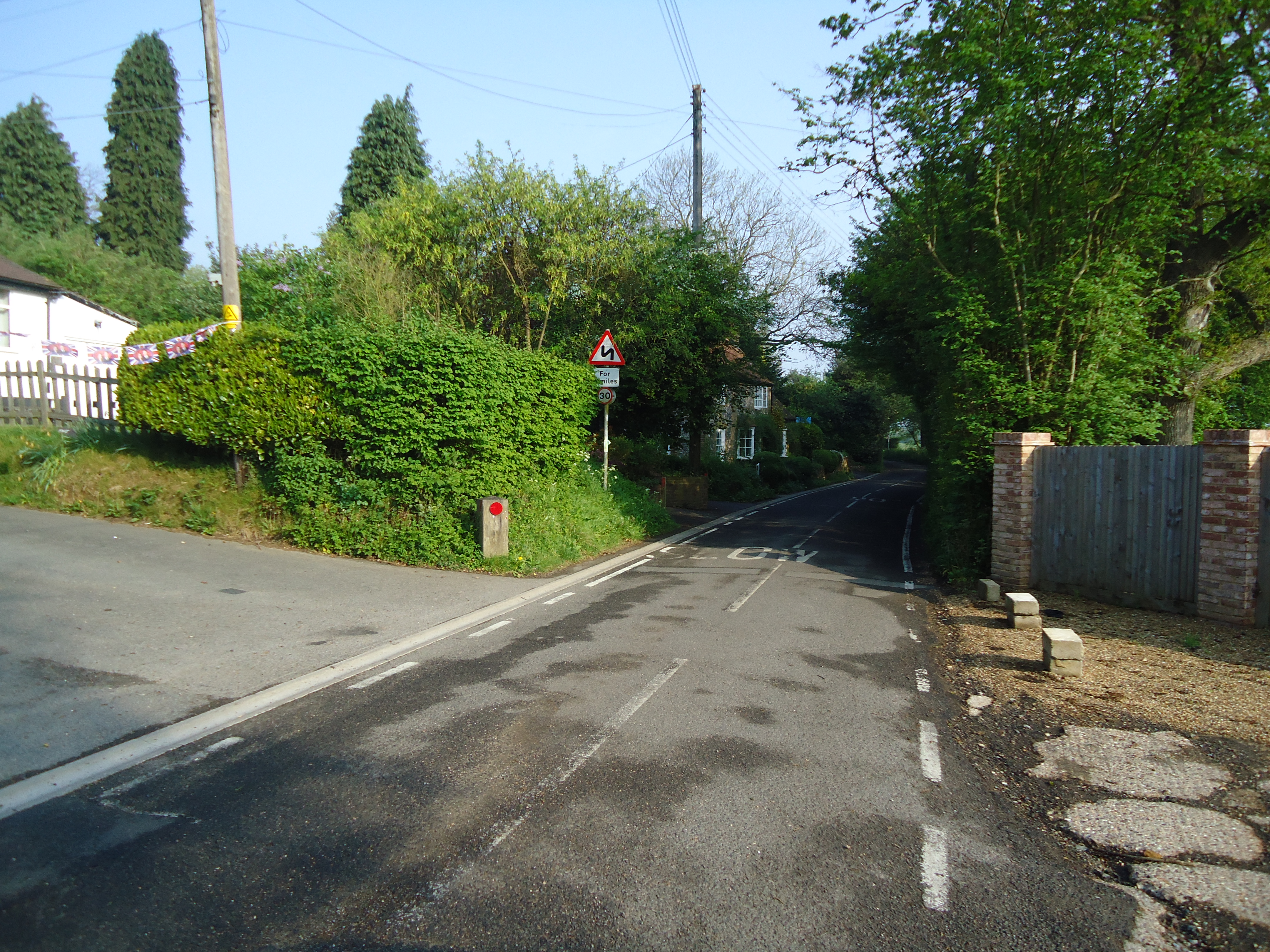
The village benefits from its proximity to the larger town of Maidstone, which provides amenities such as shops, schools, and healthcare facilities. Additionally, Lett's Green has good transportation links, with easy access to major roads and public transport services, making it convenient for residents to commute to nearby towns and cities.

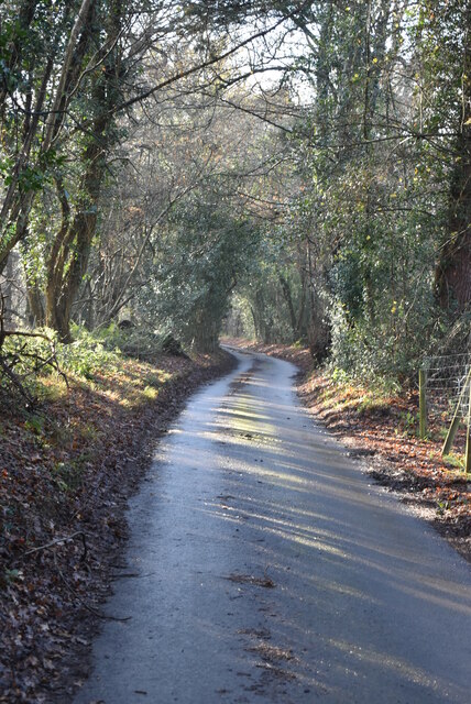
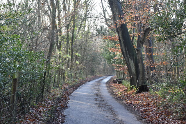
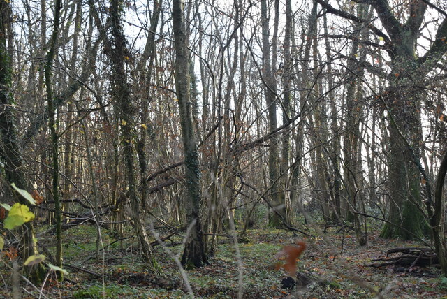
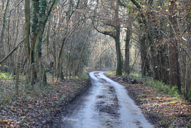
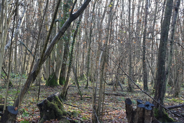
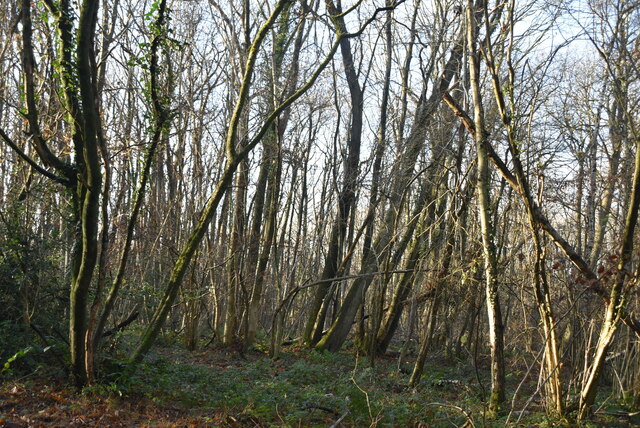
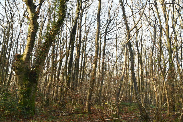
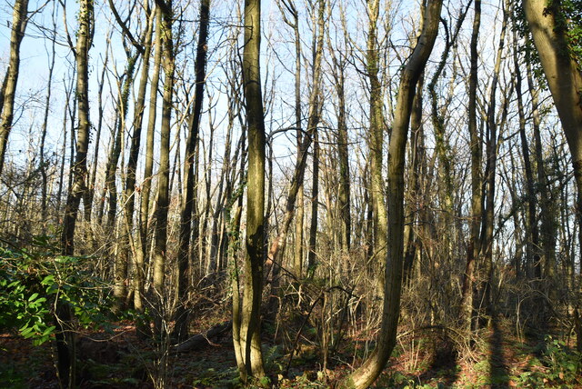
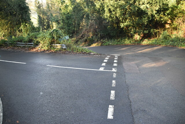
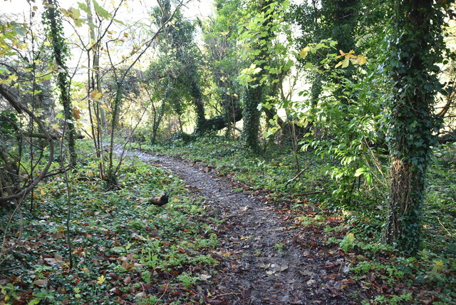
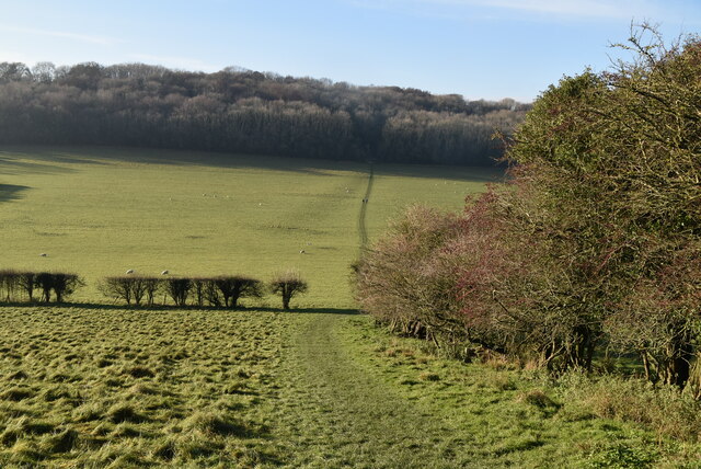
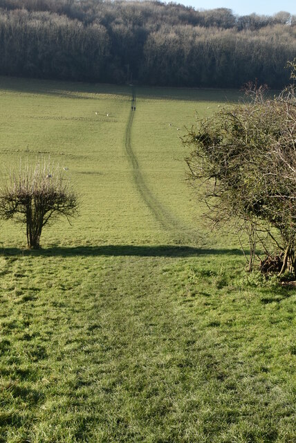
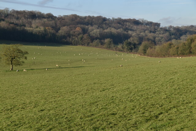
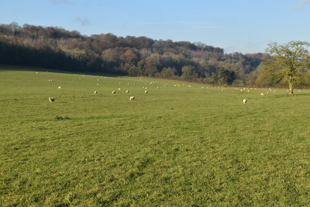
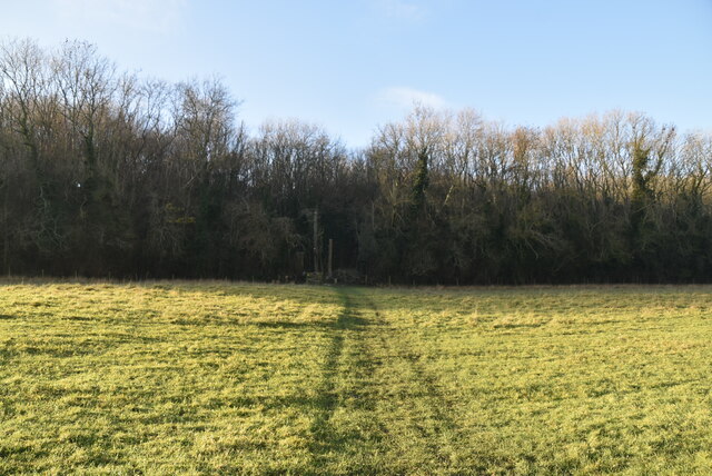
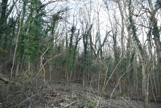
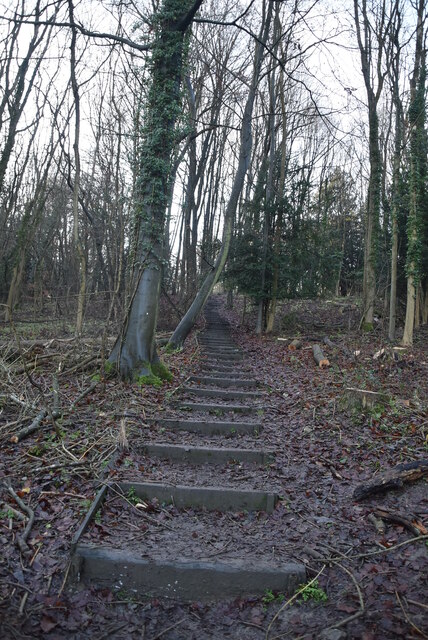
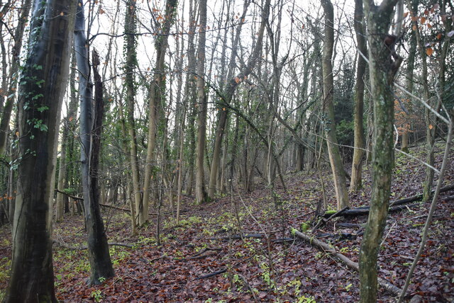
Surrounded by lush greenery, Lett's Green offers several opportunities for outdoor activities. The village is close to a number of walking and cycling routes, allowing residents to explore the beautiful countryside and enjoy nature. The area is also rich in wildlife, attracting birdwatchers and nature enthusiasts.

Overall, Lett's Green is a charming and peaceful village that offers a rural lifestyle while still being conveniently located near larger towns and amenities. With its idyllic surroundings and strong sense of community, Lett's Green is an appealing place to live for those seeking a quiet and picturesque setting in the heart of Kent.

If you have any feedback on the listing, please let us know in the comments section below.

Lett's Green Images

Images are sourced within 2km of 51.311646/0.07904256 or Grid Reference TQ4559. Thanks to Geograph Open Source API. All images are credited.

New Years Lane
New Years Lane
New Years Lane, Newlands Wood
Newlands Wood
Newlands Wood
New Years Lane
New Years Lane
New Years Wood
New Years Wood
New Years Wood
New Years Wood
New Years Wood
New Years Wood
New Years Wood
New Years Wood
Church Hill, Downe Rd junction
Footpath off Church Hill
Footpath into Dry Valley
Clear and distinct footpath
Sheep grazing The North Downs are a ridge of chalk hills in south east England that stretch for 120 miles (190 km) from Farnham in Surrey to the White Cliffs of Dover in Kent. The North Downs lie within two Areas of Outstanding Natural Beauty (AONBs), the Surrey Hills and the Kent Downs. The North Downs Way National Trail runs along the North Downs from Farnham to Dover.

At its highest point, Botley Hill in Surrey is 882ft above sea level.

Extract from Wikipedia  <span class="nowrap"><a title="http://en.wikipedia.org/wiki/North_Downs" rel="nofollow ugc noopener" href="http://en.wikipedia.org/wiki/North_Downs">Link</a><img style="margin-left:2px;" alt="External link" title="External link - shift click to open in new window" src="https://s1.geograph.org.uk/img/external.png" width="10" height="10"/></span>
Sheep grazing
The North Downs are a ridge of chalk hills in south east England that stretch for 120 miles (190 km) from Farnham in Surrey to the White Cliffs of Dover in Kent. The North Downs lie within two Areas of Outstanding Natural Beauty (AONBs), the Surrey Hills and the Kent Downs. The North Downs Way National Trail runs along the North Downs from Farnham to Dover. At its highest point, Botley Hill in Surrey is 882ft above sea level. Extract from Wikipedia LinkExternal link
Sheep grazing
Sheep grazing
Footpath to Single Street
Twenty Acre Shaw
Twenty Acre Shaw
Footpath, Twenty Acre Shaw
Twenty Acre Shaw
Twenty Acre Shaw
Show me another place!

Lett's Green is located at Grid Ref: TQ4559 (Lat: 51.311646, Lng: 0.07904256)

Administrative County: Kent

District: Sevenoaks

Police Authority: Kent

What 3 Words

///dare.shock.memory. Near Biggin Hill, London

Nearby Locations

Lett's Green Broom Wood

Related Wikis

Horns Green

Horns Green is an area in the London Borough of Bromley located to the south of Cudham near the boundary with Kent. == References ==

Cudham

Cudham is a village in Greater London, England, located within the London Borough of Bromley and beyond London's urban sprawl. It is located on the Greater...

Berry's Green

Berry's Green a small hamlet in the London Borough of Bromley in Greater London, UK, situated outside of London's contiguous built-up area. It is a fairly...

Old Jail, Biggin Hill

The Old Jail was a pub in Jail Lane, Biggin Hill, Westerham, Kent, in the London Borough of Bromley. At this time of writing, (February 2023), it is permanently...

Nearby Amenities

Located within 500m of 51.311646,0.07904256
Bus Stop
Hail & Ride Horns Green
Naptan AtcoCode: 490008370N
Naptan Bearing: N
Naptan CommonName: Horns Green
Naptan Verified: no
Public Transport: platform
Lat/Long: 51.3081816/0.0810298
Bus Stop
Hail & Ride Cudham Lane South
Naptan AtcoCode: 490005889Z
Naptan Bearing: S
Public Transport: platform
Lat/Long: 51.3121202/0.0770874
Bus Stop
Hail & Ride Horns Green
Naptan AtcoCode: 490008370Z
Naptan Bearing: S
Public Transport: platform
Lat/Long: 51.3082066/0.0811968
Bus Stop
Hail & Ride Cudham Parish Hall
Naptan AtcoCode: 490004077Z
Naptan Bearing: S
Public Transport: platform
Lat/Long: 51.3152719/0.0752369
Power: pole
Lat/Long: 51.3143577/0.0835677
Power: pole
Lat/Long: 51.3133853/0.0836482
Power: pole
Lat/Long: 51.3086827/0.0839824
Power: pole
Lat/Long: 51.3119857/0.0837518
Communication: pole
Lat/Long: 51.3118114/0.0821854
Communication: pole
Lat/Long: 51.3116437/0.0808443
Communication: pole
Lat/Long: 51.3114828/0.0795085
Power: pole
Lat/Long: 51.3108182/0.0838083
Power: pole
Lat/Long: 51.3126507/0.083693
Horns Green
Place: hamlet
Lat/Long: 51.3085972/0.0802622
Post Box
Collection Times: Mo-Fr 16:45; Sa 09:00; Su off
Colour: red
Ref: TN14 71
Royal Cypher: EIIR
Royal Cypher Wikidata: Q33102113
Lat/Long: 51.3083829/0.0809846
The data included in this document is from www.openstreetmap.org. The data is made available under ODbL.

Have you been to Lett's Green?

Leave your review of Lett's Green below (or comments, questions and feedback).