Broom Wood
Wood, Forest in Kent Sevenoaks
England
Broom Wood
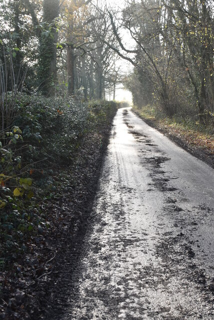
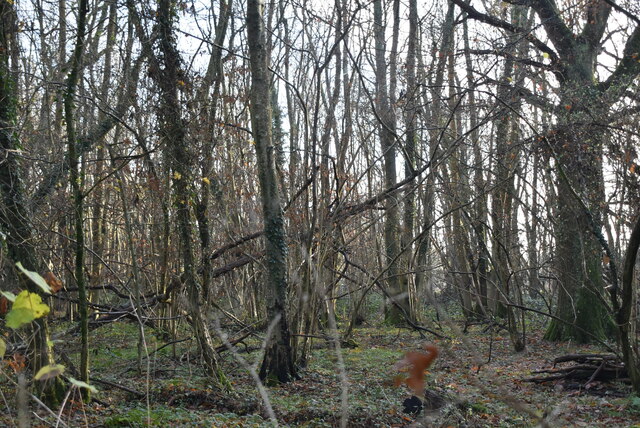
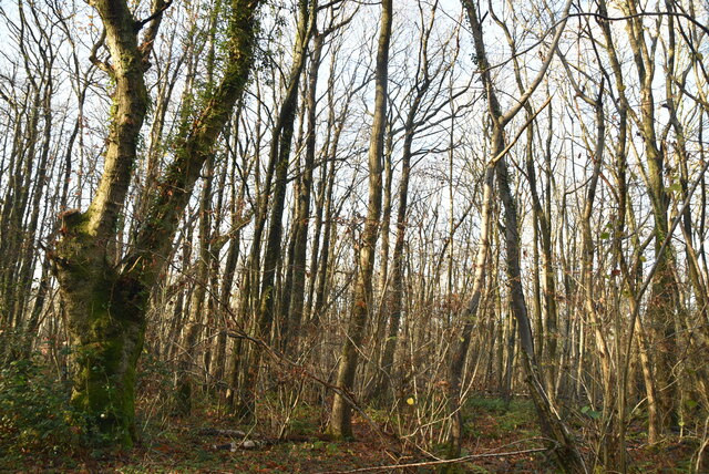
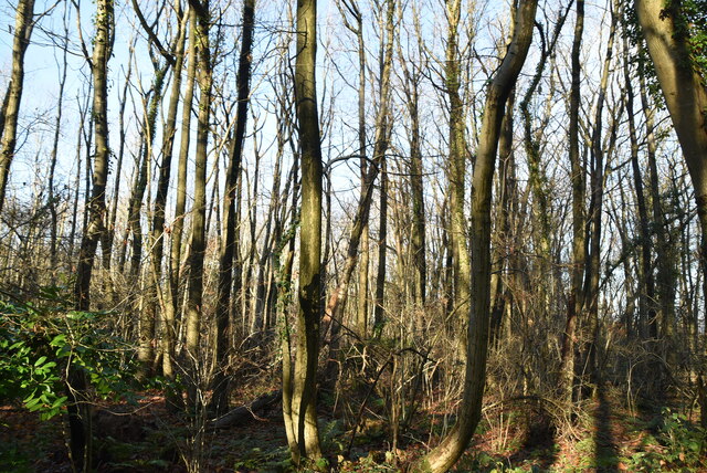
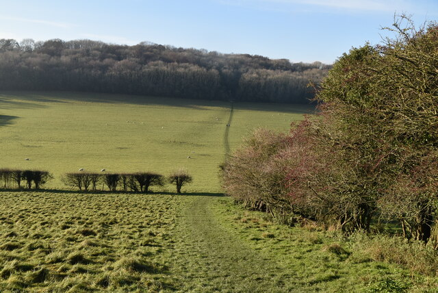
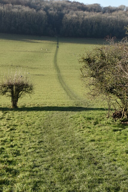
Broom Wood, located in the county of Kent, England, is a picturesque forest encompassing an area of approximately 500 acres. Situated near the town of Canterbury, this woodland is a popular destination for nature enthusiasts and outdoor adventurers alike.
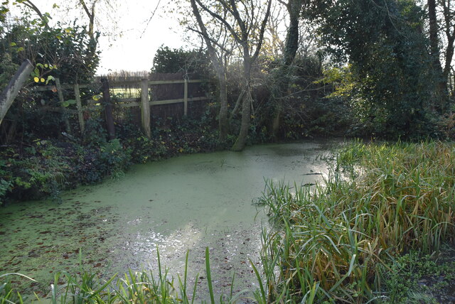
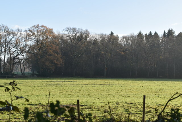
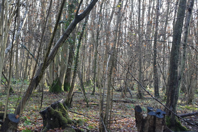
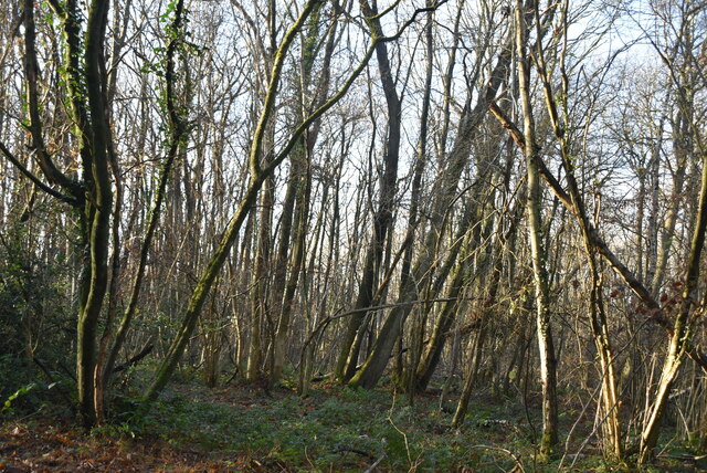
The forest is predominantly composed of broadleaf trees, including oak, beech, and ash, which create a dense canopy overhead. These towering trees provide a habitat for a diverse range of wildlife, such as deer, squirrels, badgers, and a variety of bird species. Birdwatchers can spot woodpeckers, owls, and warblers among the branches.
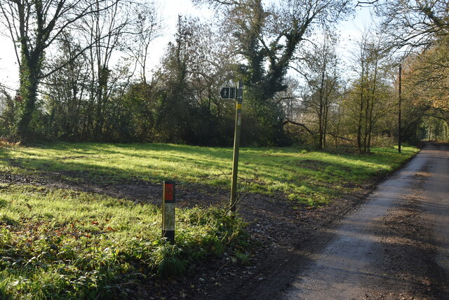
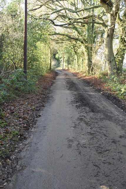
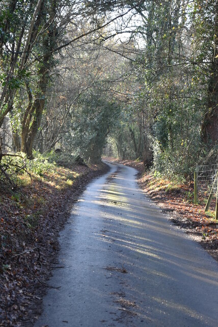
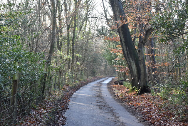
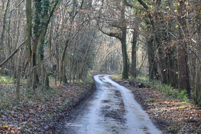
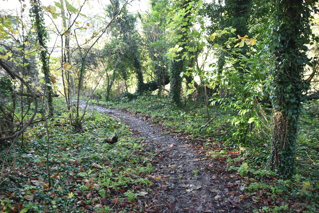
Numerous footpaths and trails crisscross Broom Wood, allowing visitors to explore its natural beauty at their own pace. These paths lead through enchanting wooded areas, where wildflowers bloom in the spring and colorful foliage adorns the forest floor in the autumn months.
The wood is also home to several ancient archaeological features, including remnants of an Iron Age hillfort. History enthusiasts can explore the remains and learn about the region's ancient past. Additionally, there are picnic areas and designated spots for camping and barbecues, providing opportunities for families and friends to enjoy a day out or even extend their stay.
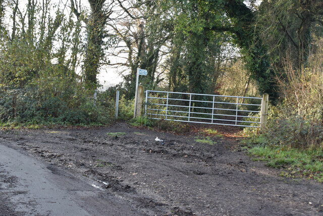
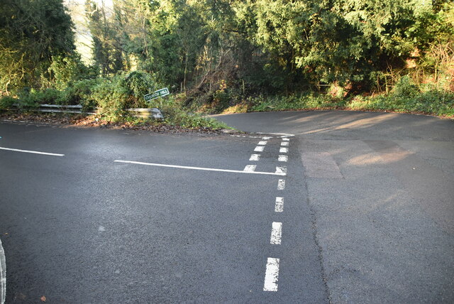
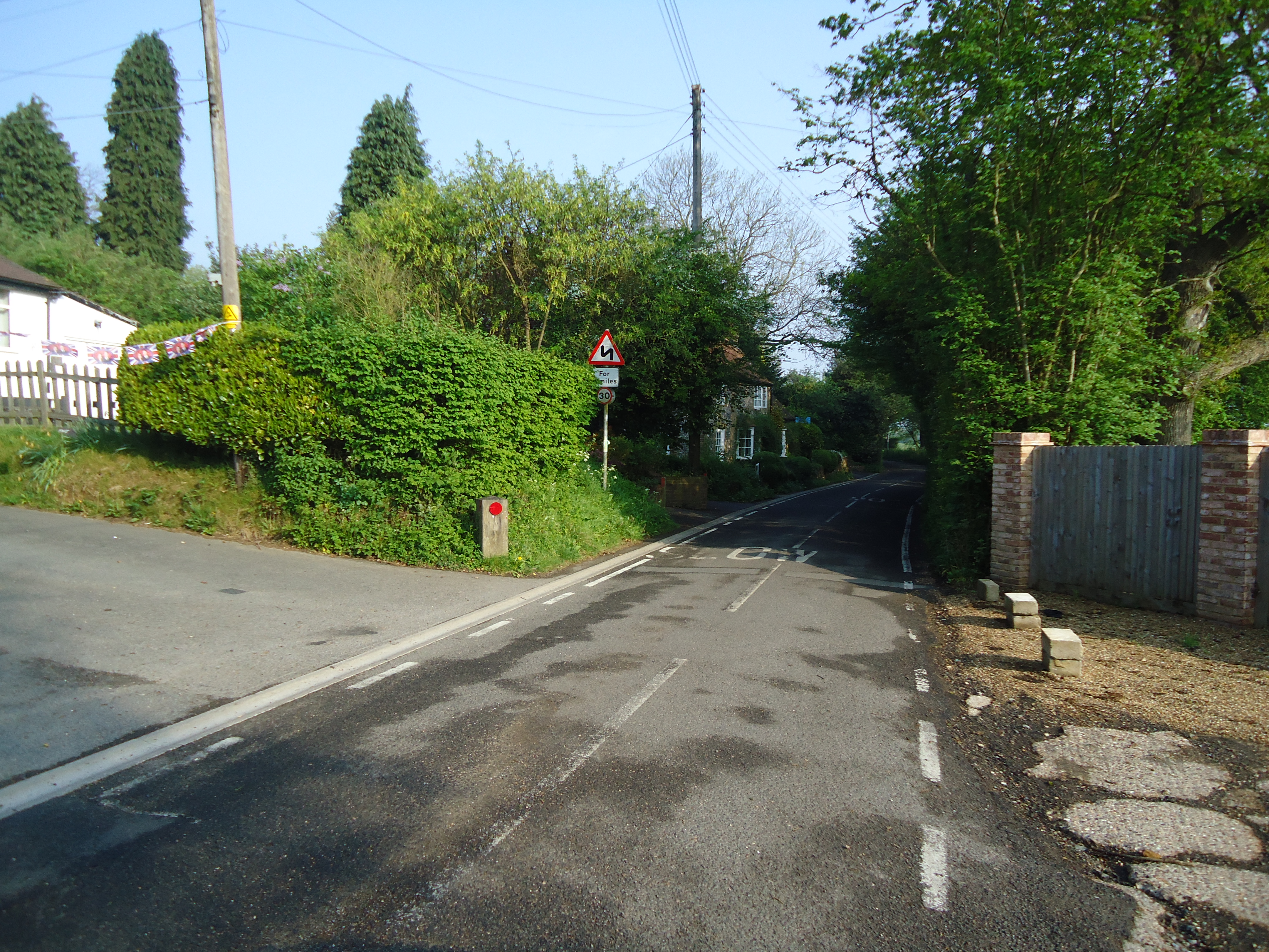
Broom Wood is easily accessible, with nearby parking facilities and public transportation options available. The forest offers a tranquil escape from the bustling city life, providing an ideal setting for nature lovers, hikers, and those seeking a peaceful retreat in the heart of Kent.
If you have any feedback on the listing, please let us know in the comments section below.
Broom Wood Images
Images are sourced within 2km of 51.312149/0.086656093 or Grid Reference TQ4559. Thanks to Geograph Open Source API. All images are credited.
Broom Wood is located at Grid Ref: TQ4559 (Lat: 51.312149, Lng: 0.086656093)
Administrative County: Kent
District: Sevenoaks
Police Authority: Kent
What 3 Words
///crowds.host.sparks. Near Biggin Hill, London
Nearby Locations
Related Wikis
Horns Green
Horns Green is an area in the London Borough of Bromley located to the south of Cudham near the boundary with Kent. == References ==

St Katharine's Church, Knockholt
St Katharine's Church is an Anglican parish church in the village of Knockholt and the Sevenoaks deanery. St Katharine's and St Margaret's came together...

Knockholt
Knockholt is a village and civil parish in the Sevenoaks District of Kent, England. It is located 5 mi (8 km) north west of Sevenoaks & 5.7 mi (9.2 km...

Cudham
Cudham is a village in Greater London, England, located within the London Borough of Bromley and beyond London's urban sprawl. It is located on the Greater...

Berry's Green
Berry's Green a small hamlet in the London Borough of Bromley in Greater London, UK, situated outside of London's contiguous built-up area. It is a fairly...

Single Street
Single Street is a hamlet in the London Borough of Bromley in Greater London, located between Luxted and Berry's Green, and centred around a street of...

Old Jail, Biggin Hill
The Old Jail was a pub in Jail Lane, Biggin Hill, Westerham, Kent, in the London Borough of Bromley. At this time of writing, (February 2023), it is permanently...

London Borough of Bromley
The London Borough of Bromley ( ) is the largest and southeasternmost of the London boroughs that make up Greater London, bordering the county of Kent...
Nearby Amenities
Located within 500m of 51.312149,0.086656093Have you been to Broom Wood?
Leave your review of Broom Wood below (or comments, questions and feedback).