Deadmen's Clough
Valley in Derbyshire Derbyshire Dales
England
Deadmen's Clough

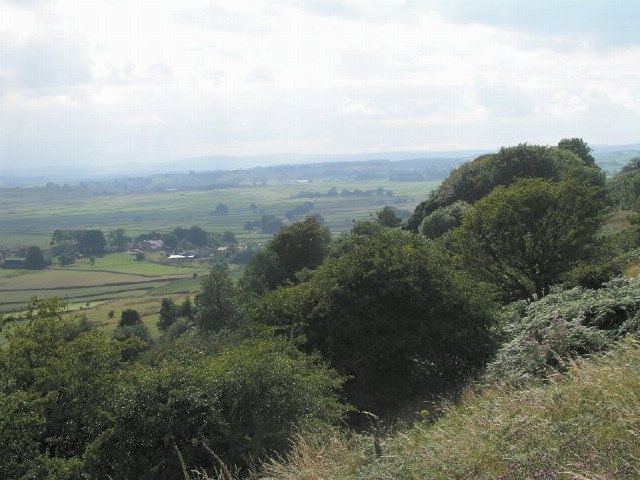
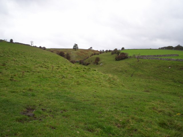
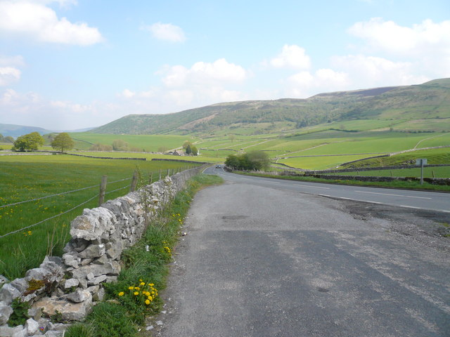
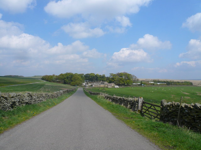
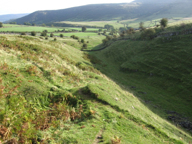
Deadmen's Clough is a picturesque valley located in Derbyshire, England. Situated within the Peak District National Park, it is renowned for its stunning natural beauty and rich historical significance. The valley runs approximately 5 kilometers in length, surrounded by rolling hills and dense woodland, offering visitors a truly immersive and tranquil experience.
The name "Deadmen's Clough" is believed to have originated from the tragic events that occurred in the valley during the late 18th century. It is said that a group of miners lost their lives while attempting to extract lead ore from the cliffs. Their bodies were discovered in the clough, hence the name.
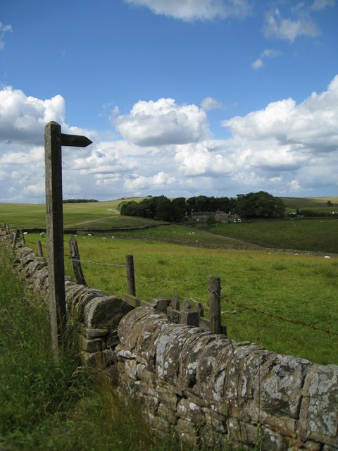
The landscape of Deadmen's Clough is a haven for nature enthusiasts and outdoor adventurers. The valley is home to a diverse range of plant and animal species, including rare orchids, birds of prey, and wild deer. Visitors can explore the area by following the well-maintained walking trails that wind through the valley, offering breathtaking views of the surrounding countryside.
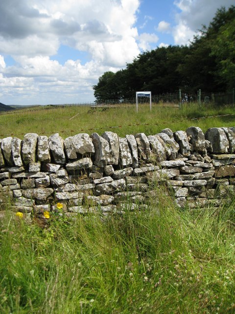
In addition to its natural beauty, Deadmen's Clough also boasts several historical landmarks. The remnants of old lead mines can be found scattered throughout the valley, providing a glimpse into the area's industrial past. The clough also features a picturesque waterfall, which adds to the allure of this hidden gem.
Overall, Deadmen's Clough offers a unique blend of natural beauty, historical significance, and recreational opportunities. Whether it's a leisurely stroll, birdwatching, or a deep dive into the area's history, this valley has something to offer for everyone.
If you have any feedback on the listing, please let us know in the comments section below.
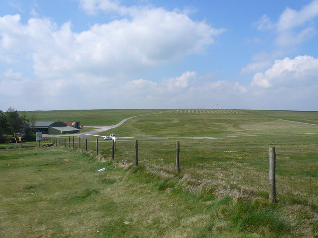
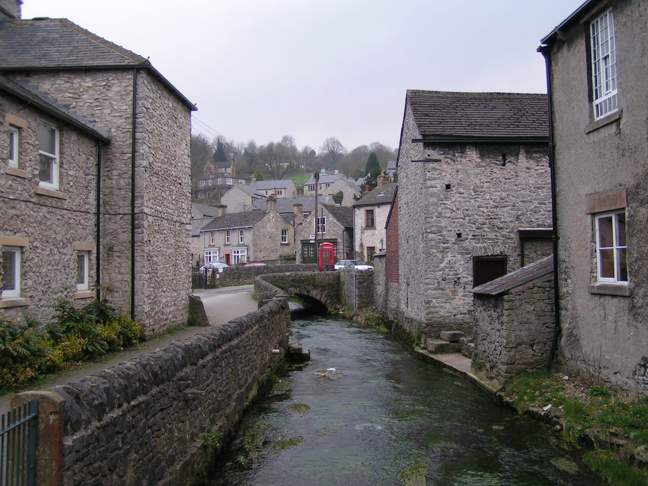
Deadmen's Clough Images
Images are sourced within 2km of 53.314479/-1.7304015 or Grid Reference SK1879. Thanks to Geograph Open Source API. All images are credited.


Deadmen's Clough is located at Grid Ref: SK1879 (Lat: 53.314479, Lng: -1.7304015)
Administrative County: Derbyshire
District: Derbyshire Dales
Police Authority: Derbyshire
What 3 Words
///flattery.rely.cheek. Near Hope Valley, Derbyshire
Nearby Locations
Related Wikis

Deadman's Clough
Deadman's Clough is a stream in the civil parish of Hazlebadge in the Derbyshire Peak District. The stream rises to the south of Bradwell, where it meets...

Hazlebadge
Hazlebadge is a civil parish within the Derbyshire Dales district, in the county of Derbyshire, England. Largely rural, Hazlebadge's population is reported...

St Barnabas' Church, Bradwell
St Barnabas' Church, Bradwell is a Grade II listedparish church in the Church of England in Bradwell, Derbyshire. == History == The church was designed...

Abney, Derbyshire
Abney (Old English Abba's Island) is a village in the English county of Derbyshire. The settlement was mentioned as Habenai in the Domesday book of 1086...
Bradwell, Derbyshire
Bradwell is a village and civil parish in the Derbyshire Peak District of England. The population of the civil parish taken at the 2011 Census was 1,416...
Abney and Abney Grange
Abney and Abney Grange is a civil parish in the Derbyshire Dales district of Derbyshire, England. It covers the villages of Abney and Abney Grange....

Great Hucklow
Great Hucklow (Old English Hucca's burial mound) is a village and civil parish in the Derbyshire Peak District which is under Hucklow Edge between the...

Little Hucklow
Little Hucklow is a village and civil parish in Derbyshire. Whilst it is a separate civil parish in the Derbyshire Dales District, the Parish Council...
Nearby Amenities
Located within 500m of 53.314479,-1.7304015Have you been to Deadmen's Clough?
Leave your review of Deadmen's Clough below (or comments, questions and feedback).