Silly Dale
Valley in Derbyshire Derbyshire Dales
England
Silly Dale

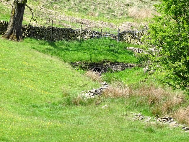
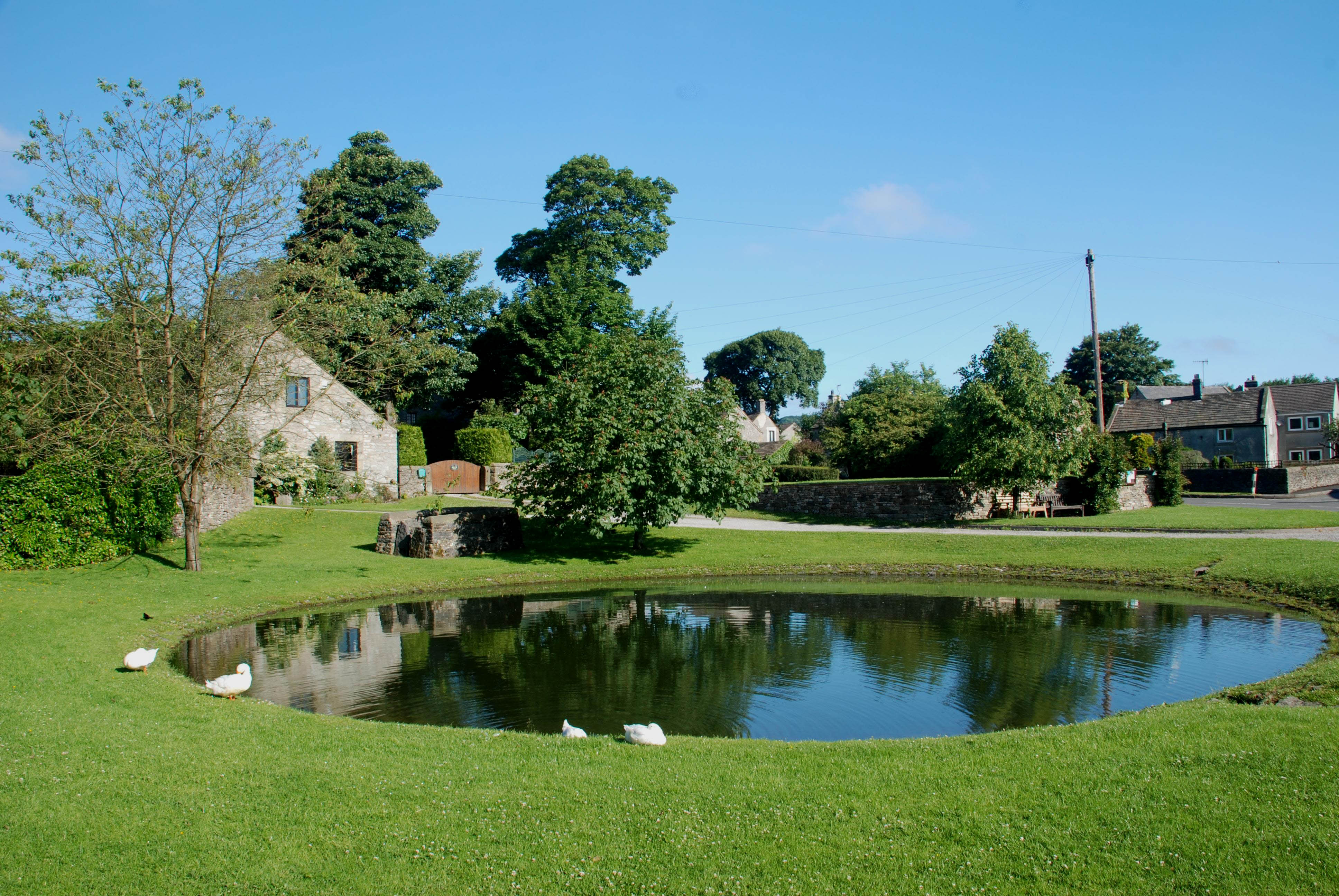
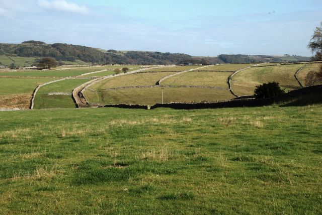
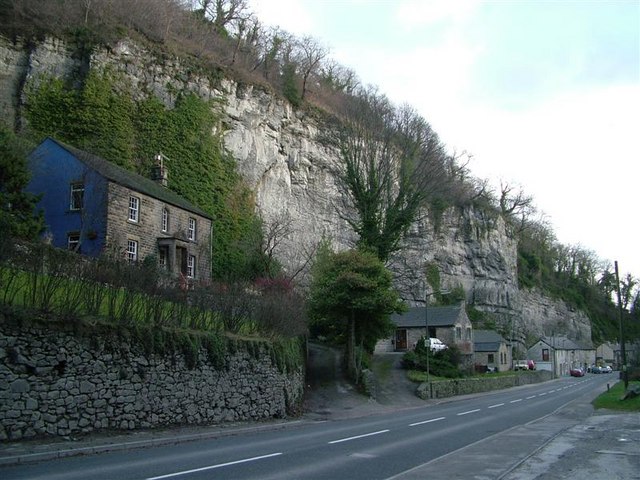
Silly Dale, located in the county of Derbyshire, England, is a picturesque valley renowned for its natural beauty and tranquil atmosphere. Nestled amidst rolling hills and lush greenery, this idyllic countryside destination is a haven for nature lovers and outdoor enthusiasts.
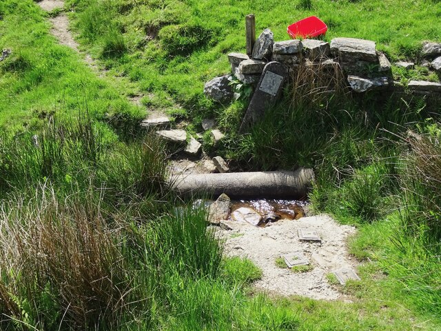
Stretching across approximately 10 square miles, Silly Dale is characterized by its meandering river, the River Silly, which winds its way through the valley, adding to the charm and serenity of the landscape. The river creates opportunities for various recreational activities, including fishing and boating, attracting visitors from far and wide.
The valley is home to an abundance of wildlife, with numerous species of birds, mammals, and flora thriving in the area. Visitors can catch glimpses of elusive creatures like otters, deer, and a variety of bird species while exploring the many walking trails that crisscross the valley.
Silly Dale also boasts a rich history, with evidence of human habitation dating back to the Iron Age. The valley is dotted with ancient archaeological sites, including burial mounds and remnants of settlements, providing insight into the area's past.
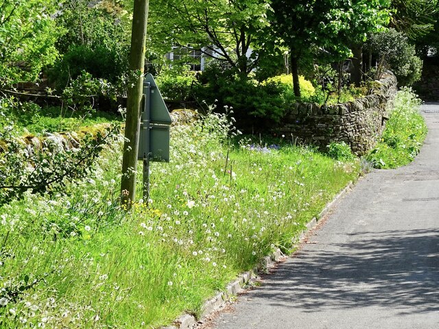
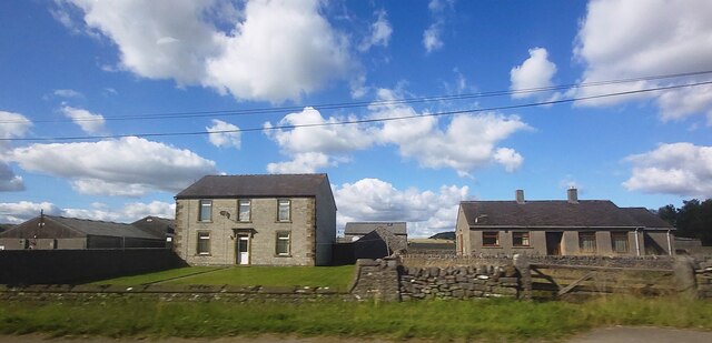
In terms of amenities, Silly Dale offers a range of accommodations, from cozy bed and breakfasts to charming cottages, ensuring a comfortable and enjoyable stay for visitors. Additionally, nearby villages provide options for dining, shopping, and entertainment.
Overall, Silly Dale, with its natural beauty, diverse wildlife, and historical significance, is a destination that captivates the hearts of all who venture into its enchanting embrace.
If you have any feedback on the listing, please let us know in the comments section below.
Silly Dale Images
Images are sourced within 2km of 53.286708/-1.7286111 or Grid Reference SK1876. Thanks to Geograph Open Source API. All images are credited.


Silly Dale is located at Grid Ref: SK1876 (Lat: 53.286708, Lng: -1.7286111)
Administrative County: Derbyshire
District: Derbyshire Dales
Police Authority: Derbyshire
What 3 Words
///crossings.banquets.steady. Near Tideswell, Derbyshire
Nearby Locations
Related Wikis

Grindlow
Grindlow is a farming hamlet of a dozen or so houses that nestles under Hucklow Edge in the Derbyshire Peak District. Although it is a separate civil parish...
Foolow
Foolow (Old English possibly for "bird hill" or "colourful hill") is a village in the Derbyshire Peak District. == Village centre == The village green...

St Hugh's Church, Foolow
St Hugh's Church, Foolow is a Grade II listed parish church in the Church of England in Foolow, Derbyshire. == History == The church was opened on 17 November...

The Three Stags' Heads
The Three Stags' Heads is a Grade II listed public house in Wardlow Mires, Derbyshire, England.On the Campaign for Real Ale's National Inventory of Historic...

Great Hucklow
Great Hucklow (Old English Hucca's burial mound) is a village and civil parish in the Derbyshire Peak District which is under Hucklow Edge between the...

Little Hucklow
Little Hucklow is a village and civil parish in Derbyshire. Whilst it is a separate civil parish in the Derbyshire Dales District, the Parish Council...
Brosterfield
Brosterfield is a hamlet in Derbyshire, England. It is located close to Foolow, where the road to that village joins the A623 road.
Middleton Dale
Middleton Dale is a steep-sided, carboniferous limestone valley in the Derbyshire Peak District of England. The village of Stoney Middleton lies at the...
Nearby Amenities
Located within 500m of 53.286708,-1.7286111Have you been to Silly Dale?
Leave your review of Silly Dale below (or comments, questions and feedback).