Bleak Knoll
Hill, Mountain in Derbyshire Derbyshire Dales
England
Bleak Knoll

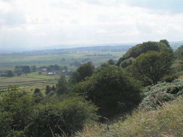
Bleak Knoll is a prominent hill located in Derbyshire, England. Situated in the Peak District National Park, it is renowned for its rugged and austere beauty, earning its name from the desolate and inhospitable nature of its surroundings. Standing at an elevation of 460 meters (1,509 feet), it offers breathtaking panoramic views of the surrounding countryside.
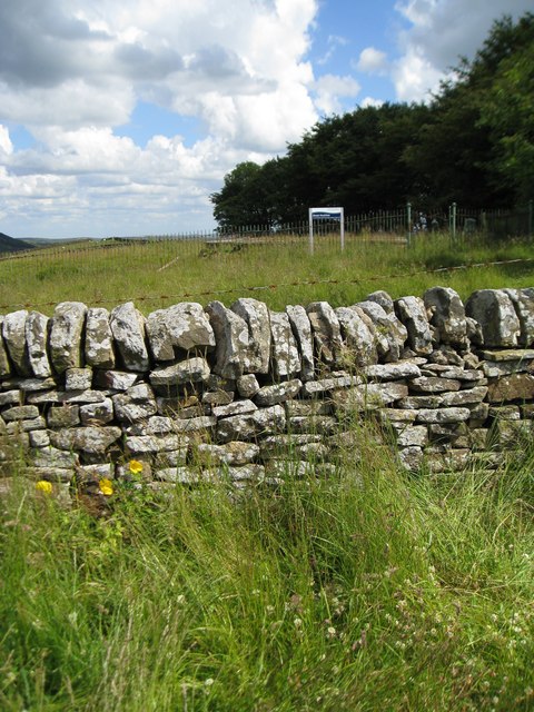
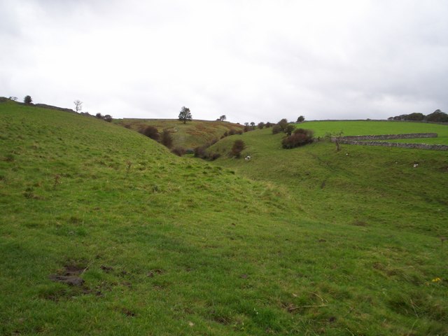
The hill is characterized by its rocky terrain and sparse vegetation, primarily consisting of heather, grasses, and scattered shrubs. Its exposed slopes are susceptible to harsh weather conditions, often experiencing strong winds and heavy rainfall. As a result, the hill can appear quite bleak and barren, especially during the winter months.
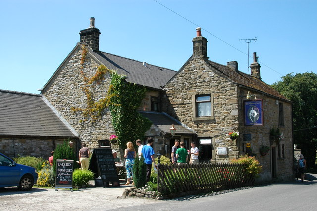
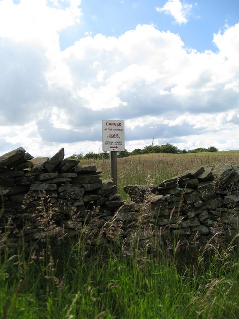
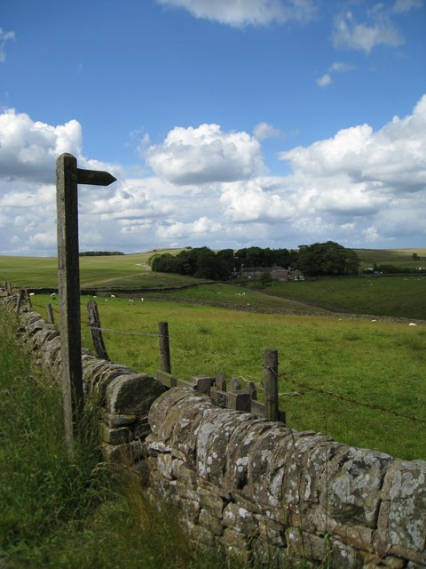
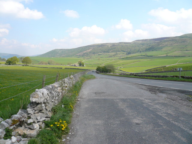
Bleak Knoll is a popular destination for outdoor enthusiasts, attracting hikers, climbers, and nature lovers alike. It offers a range of trails and footpaths that cater to different skill levels, allowing visitors to explore its unique landscape. The hill is also a haven for wildlife, providing a habitat for various bird species, such as kestrels and peregrine falcons, as well as mammals like rabbits and foxes.
Due to its location within the Peak District National Park, Bleak Knoll is easily accessible from nearby towns and villages. The hill serves as a reminder of the area's geological history, with its exposed gritstone outcrops showcasing the region's ancient rock formations. Whether it is to witness the mesmerizing sunsets or to challenge oneself with a brisk hike, Bleak Knoll offers a captivating and memorable experience for all who venture to its summit.
If you have any feedback on the listing, please let us know in the comments section below.
Bleak Knoll Images
Images are sourced within 2km of 53.31145/-1.7307807 or Grid Reference SK1879. Thanks to Geograph Open Source API. All images are credited.


Bleak Knoll is located at Grid Ref: SK1879 (Lat: 53.31145, Lng: -1.7307807)
Administrative County: Derbyshire
District: Derbyshire Dales
Police Authority: Derbyshire
What 3 Words
///boils.brighter.shrimp. Near Hope Valley, Derbyshire
Nearby Locations
Related Wikis

Deadman's Clough
Deadman's Clough is a stream in the civil parish of Hazlebadge in the Derbyshire Peak District. The stream rises to the south of Bradwell, where it meets...

Hazlebadge
Hazlebadge is a civil parish within the Derbyshire Dales district, in the county of Derbyshire, England. Largely rural, Hazlebadge's population is reported...

Abney, Derbyshire
Abney (Old English Abba's Island) is a village in the English county of Derbyshire. The settlement was mentioned as Habenai in the Domesday book of 1086...

Great Hucklow
Great Hucklow (Old English Hucca's burial mound) is a village and civil parish in the Derbyshire Peak District which is under Hucklow Edge between the...

Little Hucklow
Little Hucklow is a village and civil parish in Derbyshire. Whilst it is a separate civil parish in the Derbyshire Dales District, the Parish Council...

St Barnabas' Church, Bradwell
St Barnabas' Church, Bradwell is a Grade II listedparish church in the Church of England in Bradwell, Derbyshire. == History == The church was designed...
Bradwell, Derbyshire
Bradwell is a village and civil parish in the Derbyshire Peak District of England. The population of the civil parish taken at the 2011 Census was 1,416...
Abney and Abney Grange
Abney and Abney Grange is a civil parish in the Derbyshire Dales district of Derbyshire, England. It covers the villages of Abney and Abney Grange....
Nearby Amenities
Located within 500m of 53.31145,-1.7307807Have you been to Bleak Knoll?
Leave your review of Bleak Knoll below (or comments, questions and feedback).