Bagshaw Dale

Valley in Derbyshire Derbyshire Dales

England

Bagshaw Dale

Welcome to Lathkill Dale Entrance just off B5055 near Monyash
Welcome to Lathkill Dale Credit: Stephen Ostler

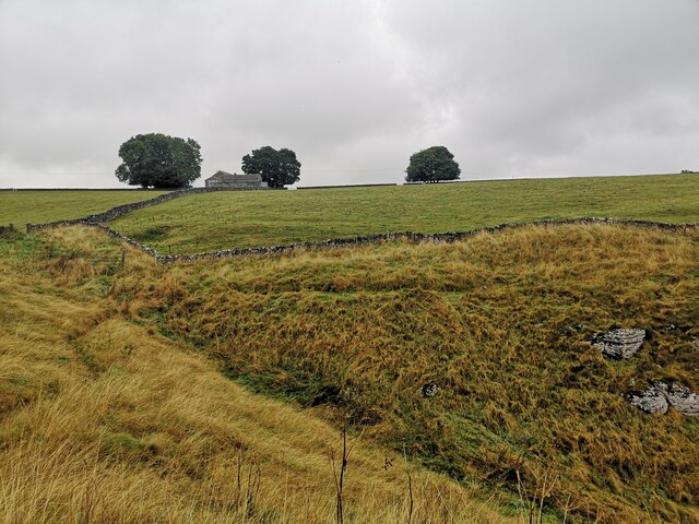
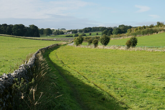
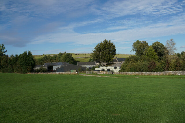
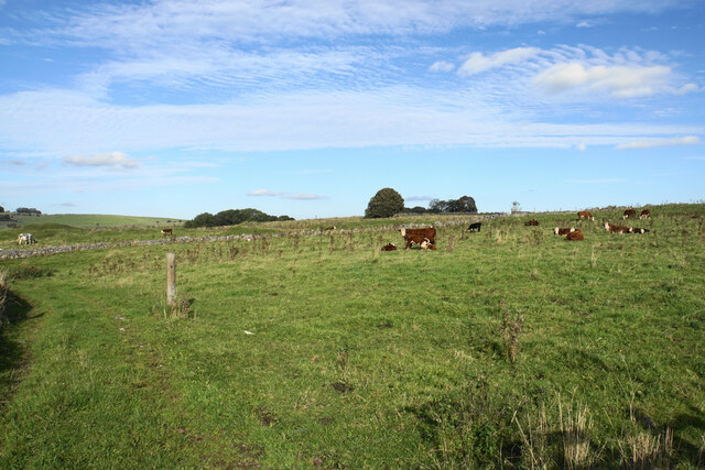
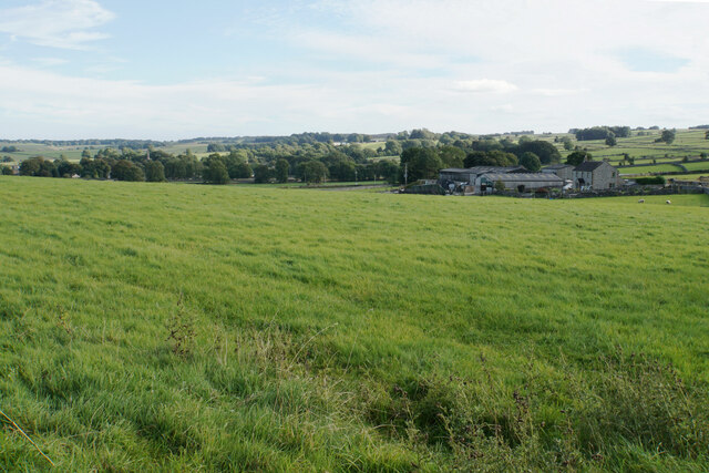
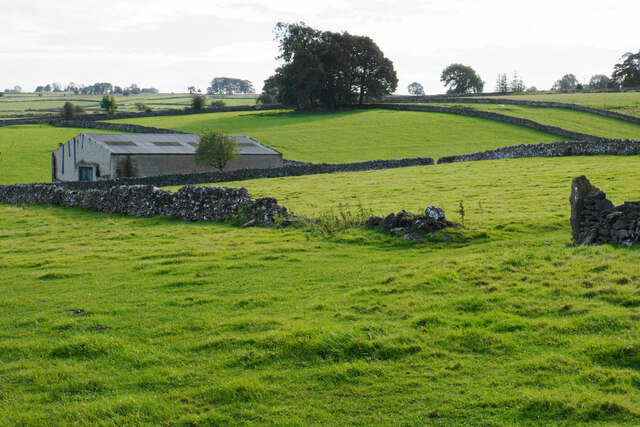
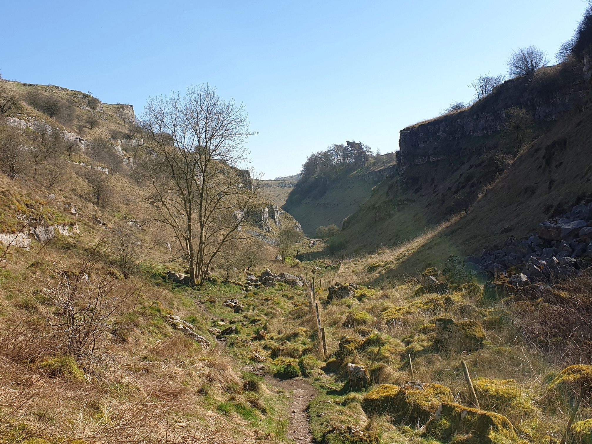
Bagshaw Dale is a picturesque valley located in the Derbyshire Peak District, England. It is situated near the village of Bradwell, approximately 14 miles southwest of Sheffield. The valley is surrounded by rolling hills and lush green countryside, offering a serene and tranquil setting for visitors.

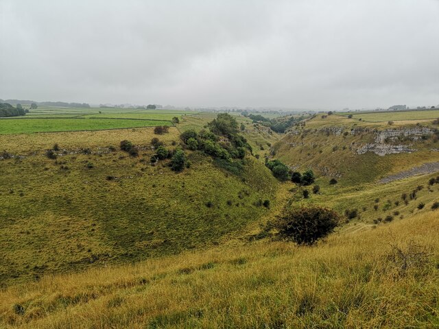
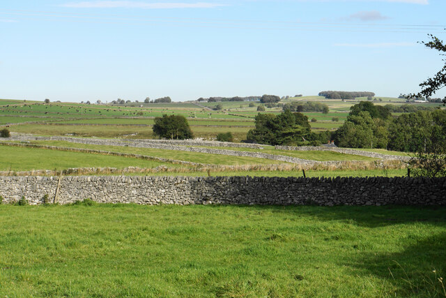
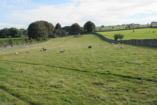
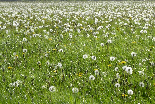
Bagshaw Dale is renowned for its natural beauty, with its meandering streams, cascading waterfalls, and abundant wildlife. The valley is particularly famous for its wildflower meadows, which come alive with vibrant colors during the spring and summer months.

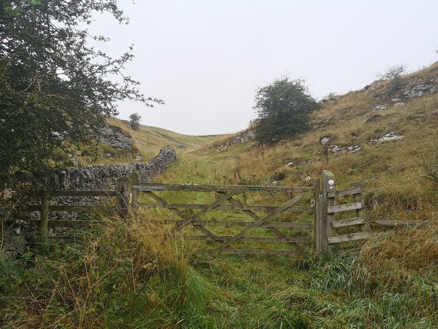
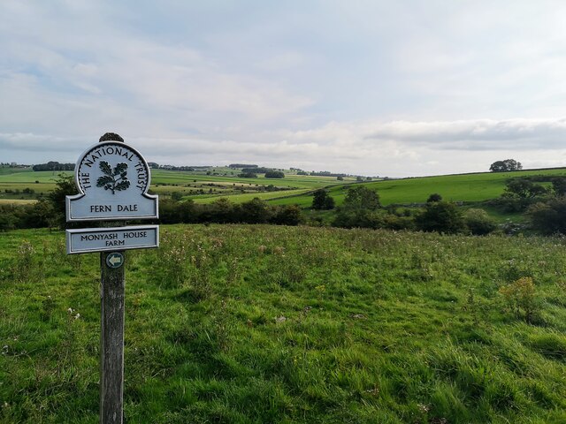
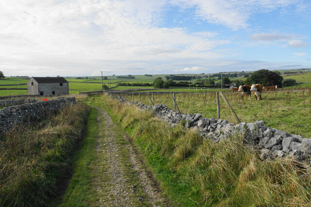
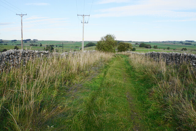
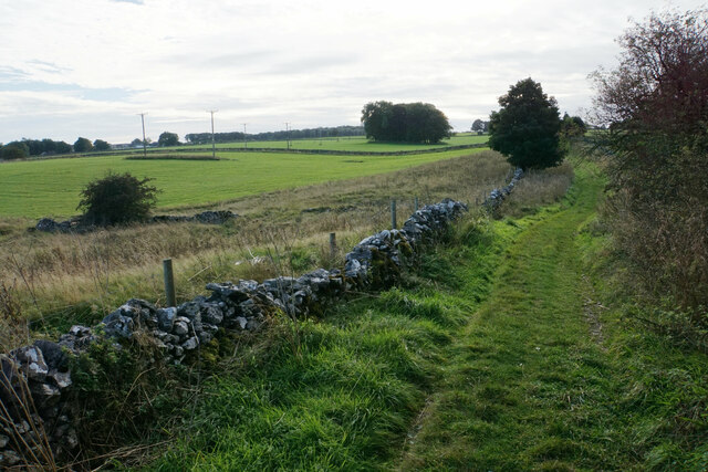
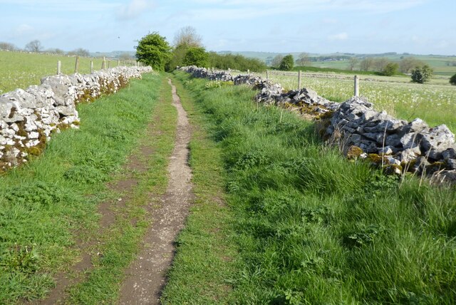
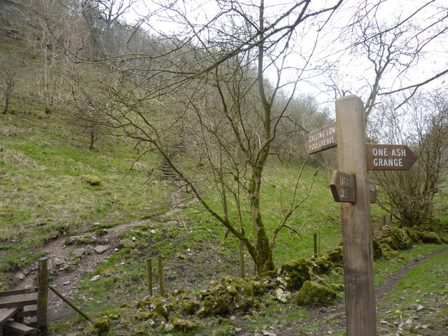
The area is a haven for outdoor enthusiasts, with numerous walking and hiking trails crisscrossing the valley. These trails provide stunning panoramic views of the surrounding landscape, making it a popular destination for nature lovers and photographers alike.

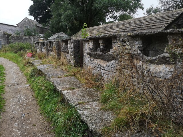
Bagshaw Dale is also home to several historic features, including the remnants of an ancient Roman road that once passed through the valley. These historical landmarks provide a glimpse into the area's rich heritage.

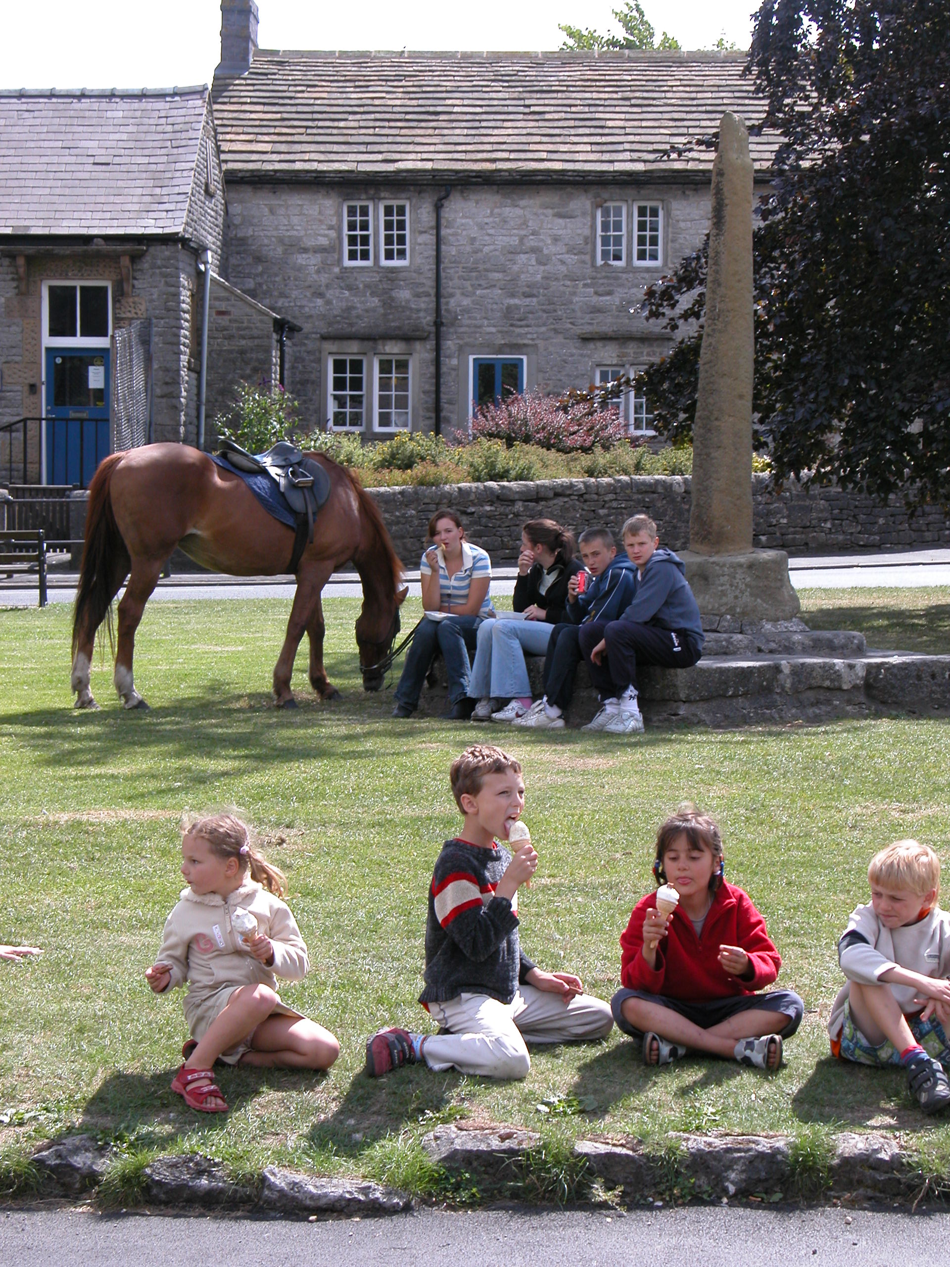
Visitors to Bagshaw Dale can enjoy a wide range of activities, such as birdwatching, picnicking, and exploring the various walking routes. The valley is easily accessible by car or public transportation, and there are ample parking facilities available.

Overall, Bagshaw Dale offers a peaceful retreat from the hustle and bustle of city life, providing a perfect destination for those seeking to reconnect with nature and enjoy the beauty of the English countryside.

If you have any feedback on the listing, please let us know in the comments section below.

Bagshaw Dale Images

Images are sourced within 2km of 53.196915/-1.7695783 or Grid Reference SK1566. Thanks to Geograph Open Source API. All images are credited.

Welcome to Lathkill Dale Entrance just off B5055 near Monyash
Welcome to Lathkill Dale
Entrance just off B5055 near Monyash
Ricklow Dale Path leaving Ricklow Quarry
Ricklow Dale
Path leaving Ricklow Quarry
Farm Buildings near Haddon Grove Farm Taken from footpath on northern edge of Lathkill Dale
Farm Buildings near Haddon Grove Farm
Taken from footpath on northern edge of Lathkill Dale
Lathkill Dale Looking west from the northern edge of Lathkill Dale
Lathkill Dale
Looking west from the northern edge of Lathkill Dale
One Ash Grange Farm Not sure what these are for. Some old cattle feeders?
One Ash Grange Farm
Not sure what these are for. Some old cattle feeders?
Fern Dale Near Monyash
Fern Dale
Near Monyash
The Limestone Way passing Knotlow Farm The farm is mostly screened from the path, off to the right. The village of Flagg can be seen in the distance.
The Limestone Way passing Knotlow Farm
The farm is mostly screened from the path, off to the right. The village of Flagg can be seen in the distance.
Knotlow Farm A view from the nearby Limestone Way.
Knotlow Farm
A view from the nearby Limestone Way.
Cattle by Blackwell Lane They are grazing on land formerly part of Knotlow Mine.
Cattle by Blackwell Lane
They are grazing on land formerly part of Knotlow Mine.
Field above Barn Close Farm Looking down from Blackwell Lane. The spire of Monyash is in the trees to the left.
Field above Barn Close Farm
Looking down from Blackwell Lane. The spire of Monyash is in the trees to the left.
Blackwell Lane Livestock farming has taken over from mining in this locality. There is a small patch of unmaintained access land in front of the barn where five routes meet.
Blackwell Lane
Livestock farming has taken over from mining in this locality. There is a small patch of unmaintained access land in front of the barn where five routes meet.
Fields by Cross Lane Looking up towards the top of the ridge along which the A515 runs.
Fields by Cross Lane
Looking up towards the top of the ridge along which the A515 runs.
Barn by Cross Lane Farm Assisting sheep farming.
Barn by Cross Lane Farm
Assisting sheep farming.
Sheep by Cross Lane Farm Sheep are the predominant farming activity, but there are some nearby cattle.
Sheep by Cross Lane Farm
Sheep are the predominant farming activity, but there are some nearby cattle.
Hutmoor Butts A longstanding green lane.
Hutmoor Butts
A longstanding green lane.
Hutmoor Butts A longstanding green lane.
Hutmoor Butts
A longstanding green lane.
Dandelion clocks Dandelion clocks are in an abundance in these fields beside the Limestone Way near Monyash.
Dandelion clocks
Dandelion clocks are in an abundance in these fields beside the Limestone Way near Monyash.
The Limestone Way The Limestone Way following a footpath to the south-east of Monyash.
The Limestone Way
The Limestone Way following a footpath to the south-east of Monyash.
Show me another place!

Bagshaw Dale is located at Grid Ref: SK1566 (Lat: 53.196915, Lng: -1.7695783)

Administrative County: Derbyshire

District: Derbyshire Dales

Police Authority: Derbyshire

What 3 Words

///outbursts.beanbag.storyline. Near Youlgreave, Derbyshire

Nearby Locations

Monyash Bagshaw Dale

Related Wikis

Monyash

Monyash (/muhn-ee-ash/ munyash) is a village and civil parish in the Peak District, Derbyshire, England, 5 miles (8.0 km) west of the market town Bakewell...
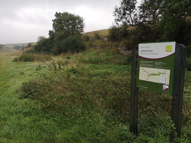
Lathkill Dale

Lathkill Dale is the valley of the River Lathkill near Bakewell, Derbyshire in the Peak District of England. The river emerges into the dale from springs...

White Peak

The White Peak, also known as the Low Peak, is a limestone plateau that forms the central and southern part of the Peak District in England. It is mostly...

Cales Dale

Cales Dale is a short valley towards the head of Lathkill Dale near Monyash, Derbyshire in the Peak District of England. Cales Dale is included within...

Magpie Mine

Magpie Mine is a well-preserved disused lead mine near the village of Sheldon in Derbyshire, England, in the parish of Ashford in the Water. The walled...

Flagg, Derbyshire

Flagg (Old Norse A sod of peat) is a small Peak District village and civil parish, set in the Derbyshire Dales, halfway between the small market town...

Limey Way

The Limey Way is a 65-kilometre (40 mi) challenge walk through Derbyshire, England. It starts at Castleton and progresses through 15 major and 5 minor...

Sheldon, Derbyshire

Sheldon is a village in the Derbyshire Peak District, England near Bakewell. It is best known for being the closest village to Magpie Mine, a lead mine...

Nearby Amenities

Located within 500m of 53.196915,-1.7695783
Pub
The Bulls Head
Accommodation: yes
Addr City: Bakewell
Addr Postcode: DE45 1JH
Addr Street: The Square
Addr Village: Monyash
Fhrs Id: 1626458
Floor Material: tiles
Food: yes
Internet Access: wlan
Internet Access Fee: no
Real Ale: Black Sheep, Peak ales, Hobgoblin, +1, may vary
Toilets: yes
Toilets Wheelchair: yes
Website: http://www.thebullsheadmonyash.co.uk/
Wheelchair: limited
Lat/Long: 53.1959828/-1.7765456
Toilets
Lat/Long: 53.1947519/-1.7660615
Barrier: stile
Lat/Long: 53.1952104/-1.7669982
Barrier: stile
Material: stone
Stile: stepover
Lat/Long: 53.1968904/-1.7688067
Barrier: stile
Material: stone
Stile: stepover
Lat/Long: 53.1973969/-1.7697531
Barrier: stile
Material: stone
Stile: squeezer
Lat/Long: 53.1984703/-1.7754006
Barrier: stile
Material: stone
Stile: squeezer
Lat/Long: 53.1986624/-1.7759951
Bench
Ele: 264.9670410
Lat/Long: 53.1949125/-1.7740073
Barrier: stile
Stile: squeezer
Lat/Long: 53.195374/-1.7741567
Description: Monyash Information Board
Ele: 262
Tourism: information
Lat/Long: 53.1952788/-1.7732718
Barrier: stile
Material: stone
Source: survey;bing;gps
Steps: 1
Stile: squeezer
Lat/Long: 53.2009932/-1.7678668
Barrier: stile
Ele: 260.1605225
Material: stone
Source: survey;gps
Steps: 3
Stile: stepover
Lat/Long: 53.1987336/-1.7761046
Note: 30 mph in westbound direction
Source: survey
Traffic Sign Forward: GB:670[30]
Lat/Long: 53.1947502/-1.7705315
Note: 30 mph speed limit sign SW-bound
Lat/Long: 53.1987195/-1.7760883
Cafe
The Old Smithy
Addr City: Bakewell
Addr Postcode: DE45 1JH
Addr Street: The Square
Addr Village: Monyash
Fhrs Id: 1626439
Lat/Long: 53.1960318/-1.7768902
Barrier: stile
Material: stone
Stile: stepover
Lat/Long: 53.1946769/-1.7741921
Man Made: wastewater_plant
Source: View from north
Lat/Long: 53.1948105/-1.765926
Spingle Barn
Tourism: self_catering
Lat/Long: 53.1953045/-1.772015
Barrier: cattle_grid
Lat/Long: 53.200521/-1.7698345
Bicycle Parking
Lat/Long: 53.1948927/-1.7661789
Bus Stop
Monyash, Church Street / Bulls Head
Bus: yes
Naptan AtcoCode: 100053825
Naptan Bearing: W
Naptan BusStopType: CUS
Naptan CommonName: Bulls Head
Naptan Indicator: opp
Naptan LocalityName: Monyash
Naptan NaptanCode: dbsjgajg
Naptan Street: Church Street
Public Transport: platform
Source: naptan_import
Lat/Long: 53.1957174/-1.7766211
Barrier: stile
Foot: yes
Material: stone
Stile: squeezer
Lat/Long: 53.1947481/-1.7752196
Bench
Backrest: yes
Lat/Long: 53.1954686/-1.7750732
Bench
Backrest: yes
Lat/Long: 53.1959614/-1.7767274
The data included in this document is from www.openstreetmap.org. The data is made available under ODbL.

Have you been to Bagshaw Dale?

Leave your review of Bagshaw Dale below (or comments, questions and feedback).