Lin Dale
Valley in Derbyshire Derbyshire Dales
England
Lin Dale
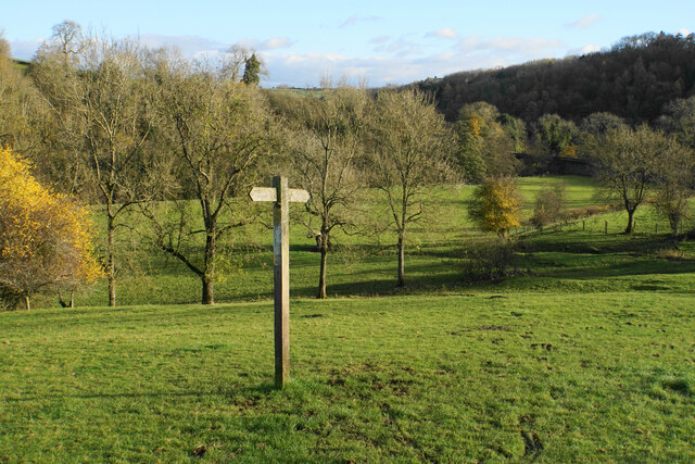
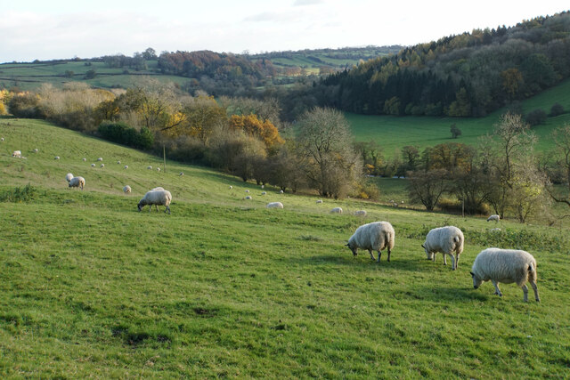
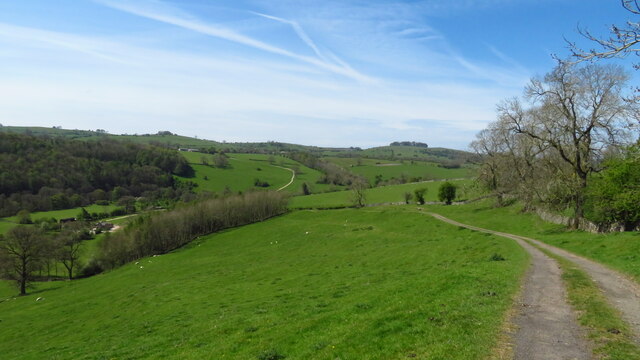
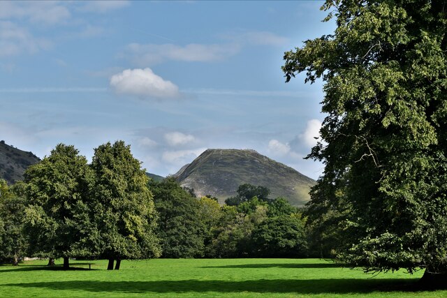
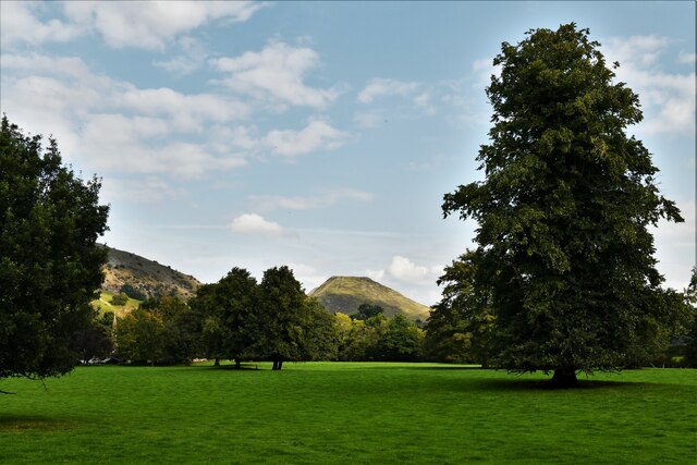
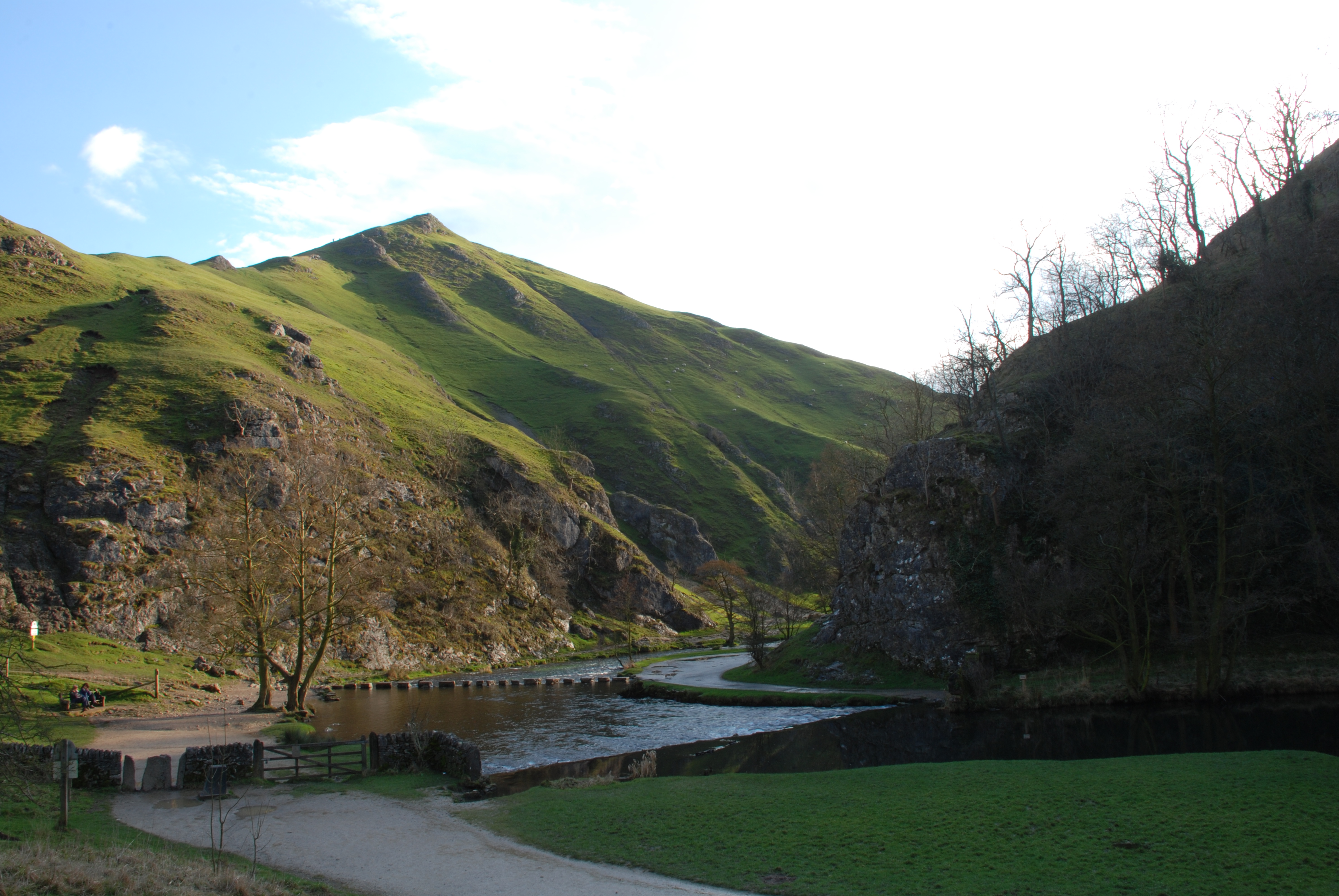
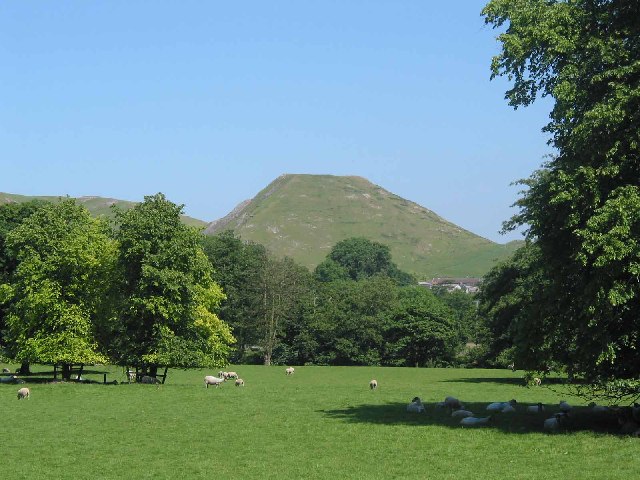
Lin Dale is a picturesque valley located in the heart of Derbyshire, England. Nestled amidst rolling hills and lush greenery, it is renowned for its natural beauty and tranquil atmosphere. The valley stretches for approximately five miles and is flanked by the charming villages of Linbury and Daleton.
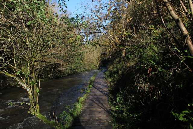
One of the defining features of Lin Dale is the river that runs through it, aptly named Lin River. The river cascades down the valley, creating a series of small waterfalls and adding to the valley's allure. The crystal-clear waters of Lin River are home to a variety of freshwater fish, making it a popular spot for fishing enthusiasts.
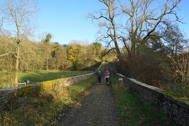
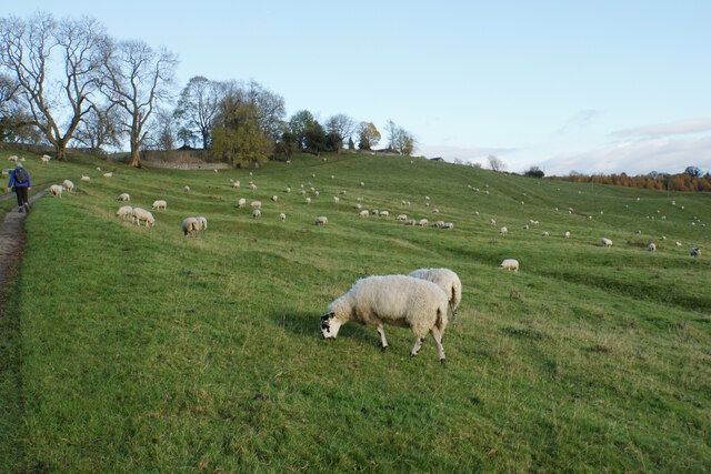
The valley is also a haven for hikers and nature lovers, with numerous walking trails meandering through its idyllic landscapes. Visitors can explore the enchanting woodlands, meadows, and meandering footpaths, offering stunning views at every turn. The valley is particularly famous for its wildflower meadows, which burst into a riot of colors during spring and summer.
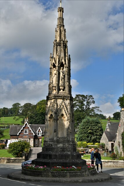
Lin Dale is also steeped in history, with several historical landmarks dotting its landscape. The 12th-century Lin Abbey, with its intricate architecture and serene surroundings, is a popular attraction for history buffs and architecture enthusiasts alike. The abbey ruins offer a glimpse into the area's rich past, and guided tours are available to delve deeper into its history.
The valley is a haven of peace and tranquility, providing a welcome escape from the hustle and bustle of city life. Whether it's exploring the natural wonders, immersing oneself in history, or simply enjoying the serenity of the surroundings, Lin Dale offers a truly memorable experience for all who visit.
If you have any feedback on the listing, please let us know in the comments section below.
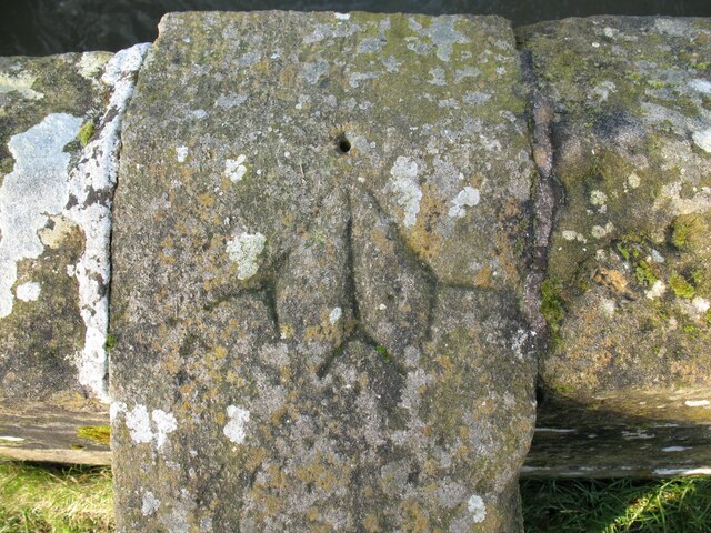
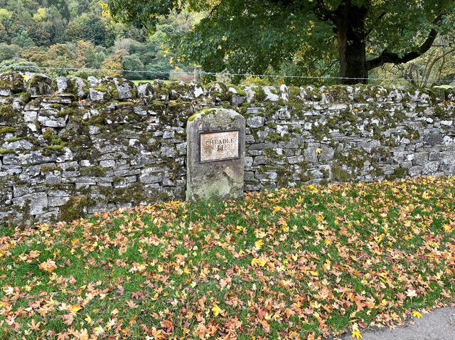
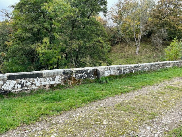
Lin Dale Images
Images are sourced within 2km of 53.057589/-1.7711719 or Grid Reference SK1551. Thanks to Geograph Open Source API. All images are credited.


Lin Dale is located at Grid Ref: SK1551 (Lat: 53.057589, Lng: -1.7711719)
Administrative County: Derbyshire
District: Derbyshire Dales
Police Authority: Derbyshire
What 3 Words
///famed.failed.spillage. Near Ashbourne, Derbyshire
Nearby Locations
Related Wikis
Thorpe Cloud
Thorpe Cloud is an isolated limestone hill (a reef knoll) lying between the villages of Thorpe and Ilam on the Derbyshire/Staffordshire border at the southern...
Dovedale
Dovedale is a valley in the Peak District of England. The land is owned by the National Trust and attracts a million visitors annually. The valley was...
Thorpe, Derbyshire
Thorpe is a village and civil parish in the English county of Derbyshire; it is on the Derbyshire/Staffordshire border, on the east bank of the River Dove...

River Manifold
The River Manifold is a river in Staffordshire, England. It is a tributary of the River Dove (which also flows through the Peak District, forming the boundary...

Thorpe Cloud railway station
Thorpe Cloud railway station was opened in 1899 between the villages of Thorpe and Fenny Bentley in Derbyshire, south east of Buxton. == History == The...

Ilam, Staffordshire
Ilam ( ) is a village in the Staffordshire Peak District of England, lying on the River Manifold. The population of the civil parish as taken at the 2011...

St Edmund's Church, Fenny Bentley
St Edmund's Church, Fenny Bentley is a Grade II* listed parish church in the Church of England in Fenny Bentley, Derbyshire. == History == The church dates...

Tissington Hall
Tissington Hall is an early 17th-century Jacobean mansion house in Tissington, near Ashbourne, Derbyshire. It is a Grade II* listed building. The FitzHerberts...
Nearby Amenities
Located within 500m of 53.057589,-1.7711719Have you been to Lin Dale?
Leave your review of Lin Dale below (or comments, questions and feedback).