Thorpe Pasture
Downs, Moorland in Derbyshire Derbyshire Dales
England
Thorpe Pasture
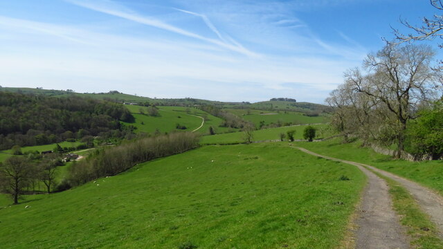
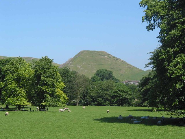
Located in Derbyshire, England, Thorpe Pasture is a picturesque area known for its stunning downs and moorland landscapes. The region offers visitors a diverse range of natural beauty and outdoor activities.
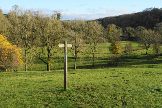
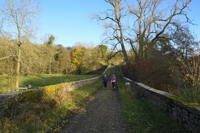
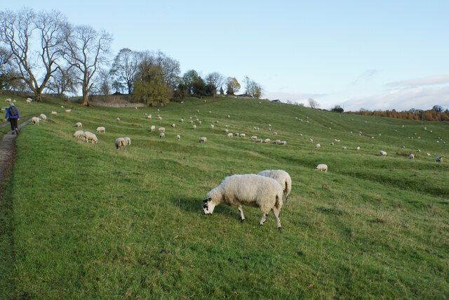
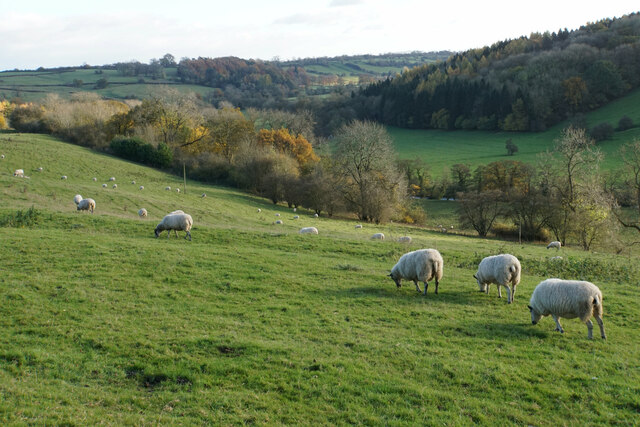
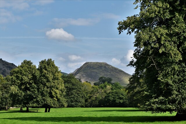
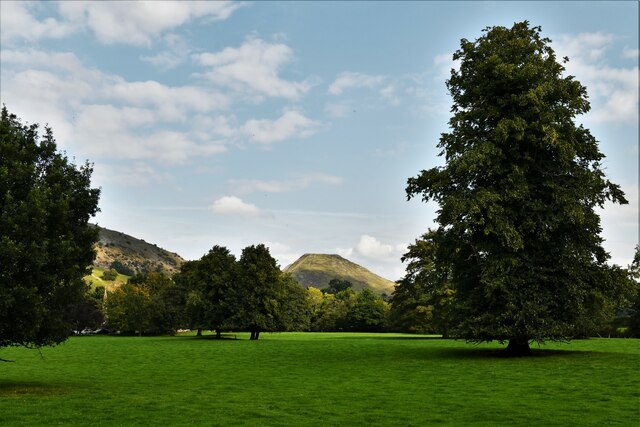
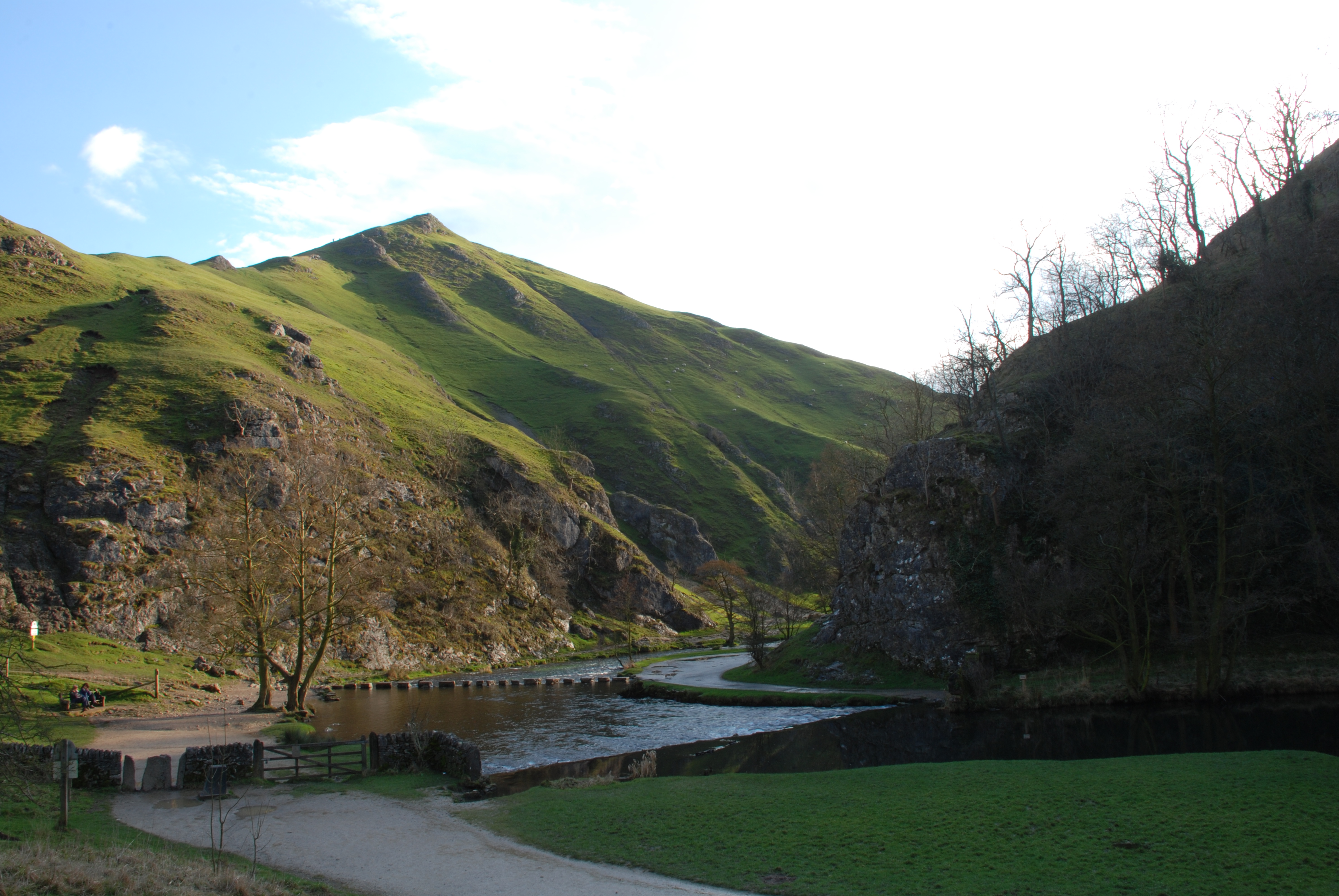
Thorpe Pasture boasts expansive downs, which are vast areas of open, rolling grasslands. These downs are characterized by their gently sloping hills and are ideal for leisurely walks, picnics, and taking in the breathtaking views of the surrounding countryside. The downs are home to a variety of plant and animal species, making it a haven for nature enthusiasts and wildlife lovers.
In addition to the downs, Thorpe Pasture also features moorland areas. Moorlands are characterized by their unique vegetation, including heather, gorse, and grasses. These areas provide visitors with a sense of tranquility and a chance to explore the rugged beauty of the moorland landscape.
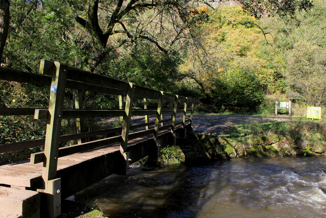
The region offers a range of recreational activities for visitors to enjoy. Hiking and walking trails are abundant, allowing visitors to explore the downs and moorland at their own pace. The area is also popular for birdwatching, with a variety of bird species making their home in Thorpe Pasture.
For those seeking a more adventurous experience, Thorpe Pasture offers opportunities for mountain biking and horseback riding. The diverse terrain provides a thrilling and challenging environment for outdoor enthusiasts.
Overall, Thorpe Pasture in Derbyshire is a haven for nature lovers and outdoor enthusiasts. Its downs and moorland offer a diverse and beautiful landscape, providing visitors with a wealth of opportunities to explore, relax, and connect with the natural world.
If you have any feedback on the listing, please let us know in the comments section below.
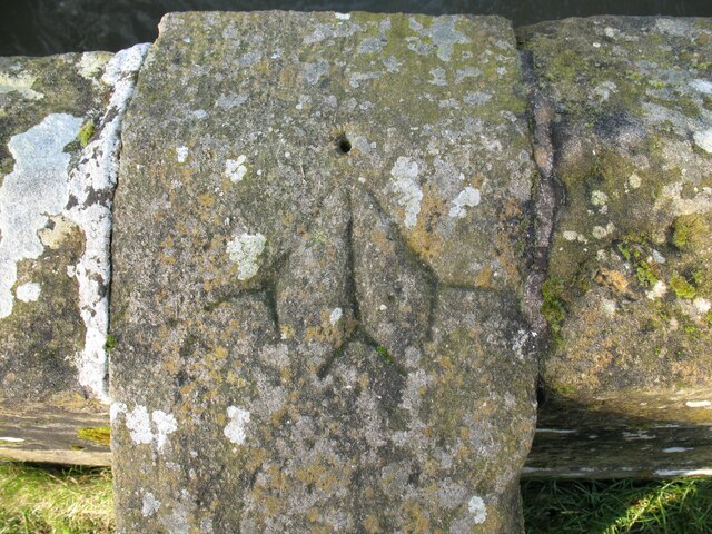
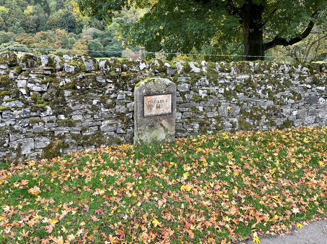
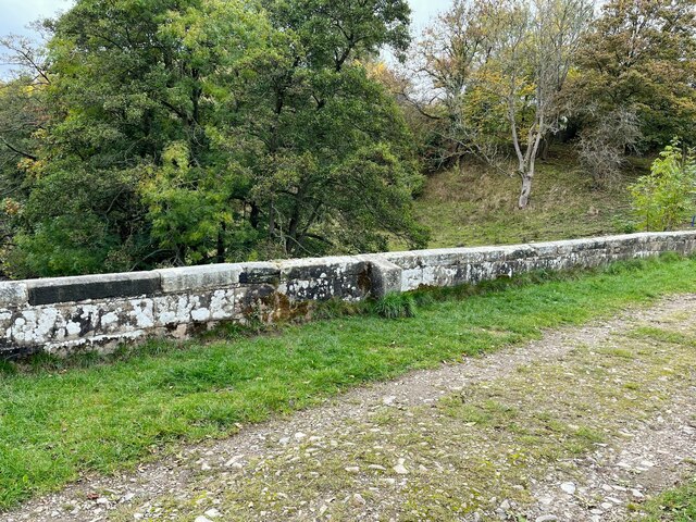
Thorpe Pasture Images
Images are sourced within 2km of 53.05696/-1.7669081 or Grid Reference SK1551. Thanks to Geograph Open Source API. All images are credited.


Thorpe Pasture is located at Grid Ref: SK1551 (Lat: 53.05696, Lng: -1.7669081)
Administrative County: Derbyshire
District: Derbyshire Dales
Police Authority: Derbyshire
What 3 Words
///rashers.shopping.afternoon. Near Ashbourne, Derbyshire
Nearby Locations
Related Wikis
Thorpe Cloud
Thorpe Cloud is an isolated limestone hill (a reef knoll) lying between the villages of Thorpe and Ilam on the Derbyshire/Staffordshire border at the southern...
Dovedale
Dovedale is a valley in the Peak District of England. The land is owned by the National Trust and attracts a million visitors annually. The valley was...
Thorpe, Derbyshire
Thorpe is a village and civil parish in the English county of Derbyshire; it is on the Derbyshire/Staffordshire border, on the east bank of the River Dove...

Thorpe Cloud railway station
Thorpe Cloud railway station was opened in 1899 between the villages of Thorpe and Fenny Bentley in Derbyshire, south east of Buxton. == History == The...

River Manifold
The River Manifold is a river in Staffordshire, England. It is a tributary of the River Dove (which also flows through the Peak District, forming the boundary...

St Edmund's Church, Fenny Bentley
St Edmund's Church, Fenny Bentley is a Grade II* listed parish church in the Church of England in Fenny Bentley, Derbyshire. == History == The church dates...

Tissington Hall
Tissington Hall is an early 17th-century Jacobean mansion house in Tissington, near Ashbourne, Derbyshire. It is a Grade II* listed building. The FitzHerberts...

Tissington railway station
Tissington railway station is a disused British railway station near Tissington (grid reference SK177521), a village in Derbyshire near Ashbourne. It...
Nearby Amenities
Located within 500m of 53.05696,-1.7669081Have you been to Thorpe Pasture?
Leave your review of Thorpe Pasture below (or comments, questions and feedback).