Thorpe Pastures
Heritage Site in Derbyshire Derbyshire Dales
England
Thorpe Pastures
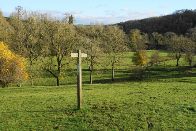
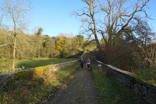
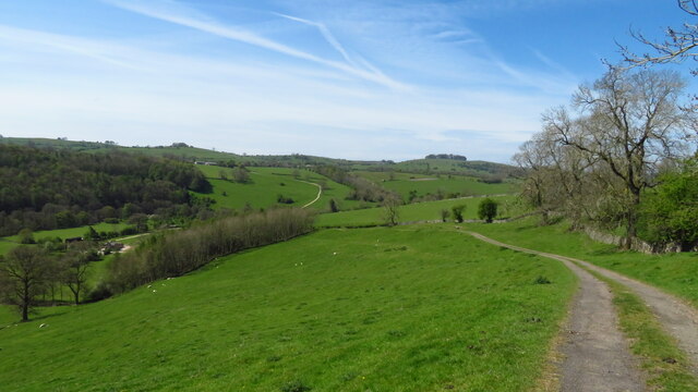
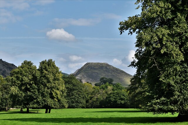
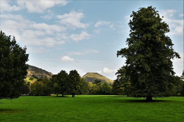
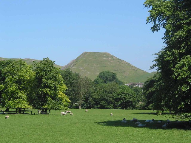
Thorpe Pastures is a notable heritage site located in Derbyshire, England. Situated near the village of Thorpe, it covers an area of approximately 50 hectares and is renowned for its historical and ecological significance. The site is primarily known for its well-preserved medieval ridge and furrow cultivation patterns, which provide valuable insight into the agricultural practices of the past.
Dating back to the 13th century, Thorpe Pastures showcases a remarkable example of the open field system that was prevalent during the medieval period. The ridge and furrow patterns, created by plowing methods, are visible as undulating earthworks across the landscape. These features not only demonstrate the long history of farming in the area but also serve as a testament to the skilled craftsmanship of medieval farmers.
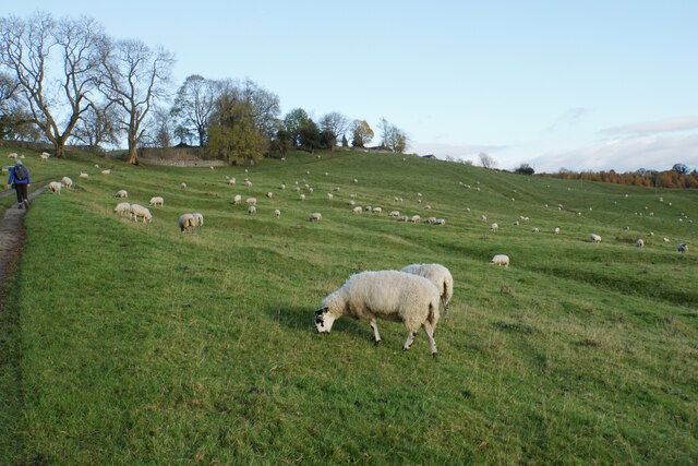
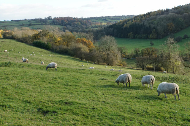
Aside from its historical importance, Thorpe Pastures is also recognized for its rich biodiversity. The site encompasses a variety of habitats, including grassland, wetland, and woodlands, which support a diverse range of plant and animal species. It is home to several rare and protected species, such as the great crested newt and the marsh marigold.
Thorpe Pastures offers visitors a unique opportunity to experience the cultural and natural heritage of Derbyshire. The site is easily accessible, with designated footpaths and interpretation boards providing information about its historical and ecological significance. It is a popular destination for nature enthusiasts, history lovers, and those seeking a tranquil escape amidst beautiful surroundings.
If you have any feedback on the listing, please let us know in the comments section below.
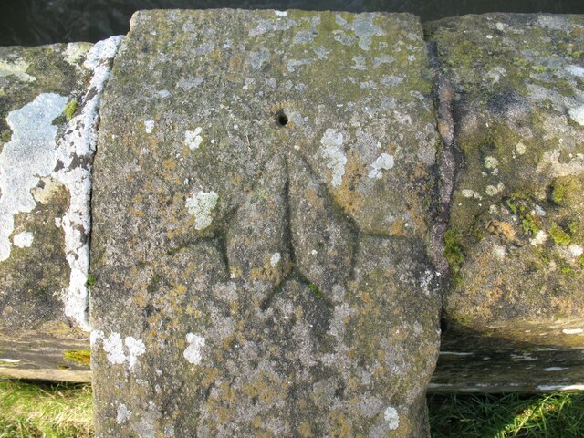
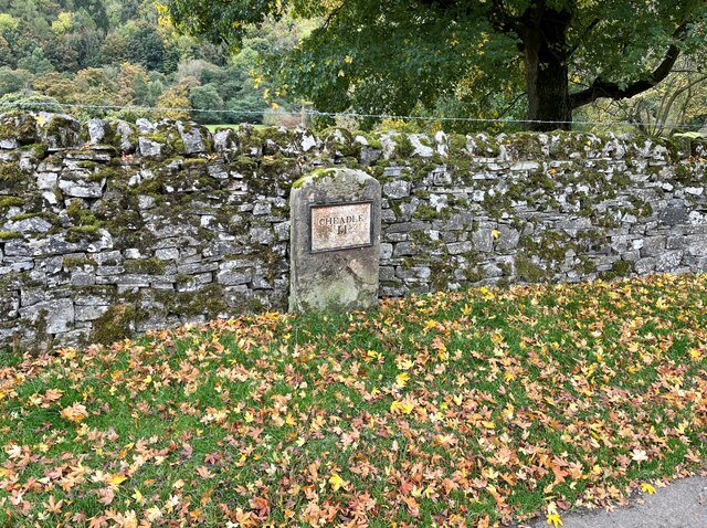
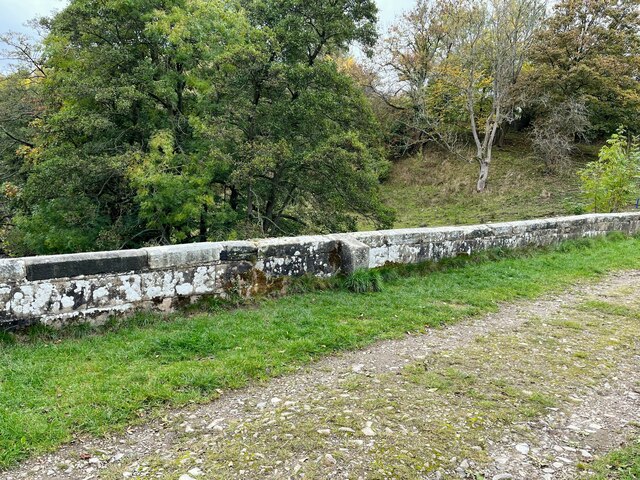
Thorpe Pastures Images
Images are sourced within 2km of 53.057/-1.766 or Grid Reference SK1551. Thanks to Geograph Open Source API. All images are credited.


Thorpe Pastures is located at Grid Ref: SK1551 (Lat: 53.057, Lng: -1.766)
Administrative County: Derbyshire
District: Derbyshire Dales
Police Authority: Derbyshire
What 3 Words
///lottery.squeaks.outlooks. Near Ashbourne, Derbyshire
Nearby Locations
Related Wikis
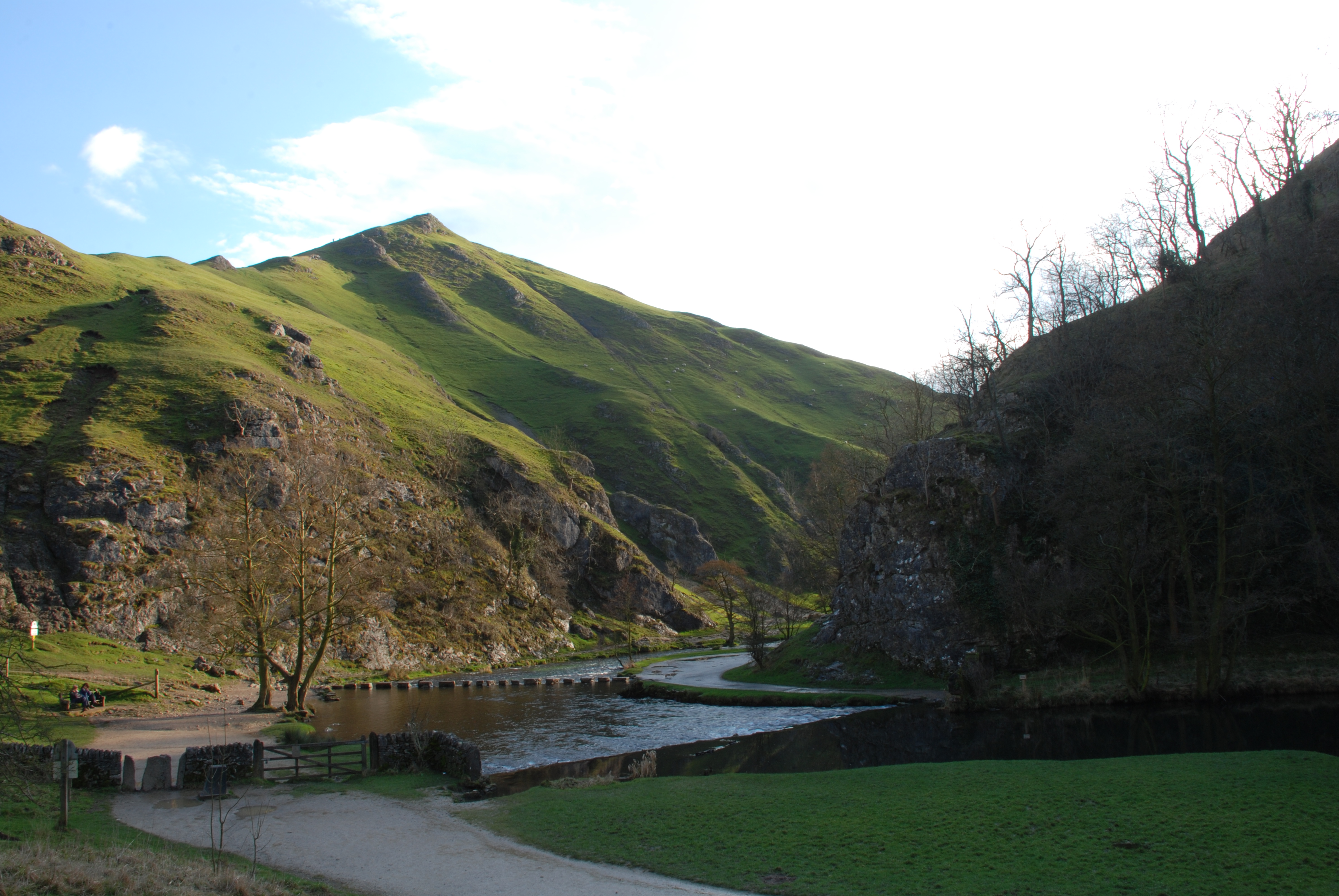
Thorpe Cloud
Thorpe Cloud is an isolated limestone hill (a reef knoll) lying between the villages of Thorpe and Ilam on the Derbyshire/Staffordshire border at the southern...
Thorpe, Derbyshire
Thorpe is a village and civil parish in the English county of Derbyshire; it is on the Derbyshire/Staffordshire border, on the east bank of the River Dove...
Dovedale
Dovedale is a valley in the Peak District of England. The land is owned by the National Trust and attracts a million visitors annually. The valley was...

Thorpe Cloud railway station
Thorpe Cloud railway station was opened in 1899 between the villages of Thorpe and Fenny Bentley in Derbyshire, south east of Buxton. == History == The...

River Manifold
The River Manifold is a river in Staffordshire, England. It is a tributary of the River Dove (which also flows through the Peak District, forming the boundary...

St Edmund's Church, Fenny Bentley
St Edmund's Church, Fenny Bentley is a Grade II* listed parish church in the Church of England in Fenny Bentley, Derbyshire. == History == The church dates...

Tissington Hall
Tissington Hall is an early 17th-century Jacobean mansion house in Tissington, near Ashbourne, Derbyshire. It is a Grade II* listed building. The FitzHerberts...

Tissington railway station
Tissington railway station is a disused British railway station near Tissington (grid reference SK177521), a village in Derbyshire near Ashbourne. It...
Nearby Amenities
Located within 500m of 53.057,-1.766Have you been to Thorpe Pastures?
Leave your review of Thorpe Pastures below (or comments, questions and feedback).