Monyash
Settlement in Derbyshire Derbyshire Dales
England
Monyash
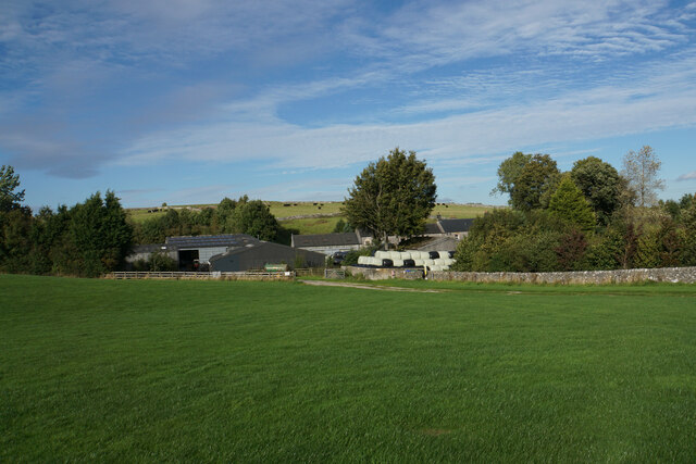
Monyash is a picturesque village located in the Derbyshire Dales district of Derbyshire, England. Situated on the limestone plateau of the White Peak, it lies approximately 8 miles southwest of the market town of Bakewell. With a population of around 200 inhabitants, Monyash exudes a tranquil and rural ambiance, making it an attractive destination for visitors seeking a charming English countryside experience.
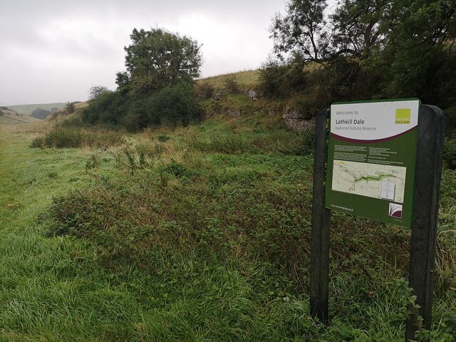
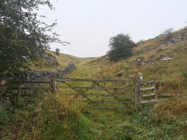
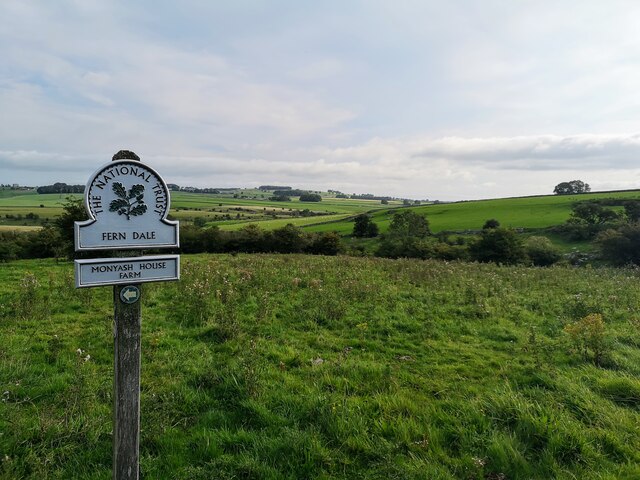
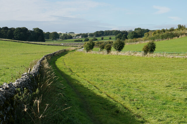
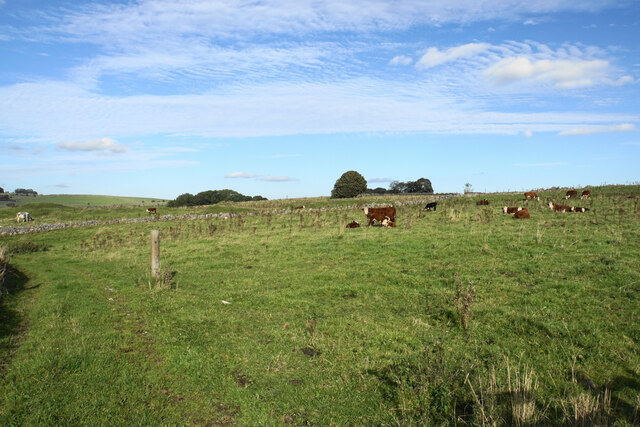
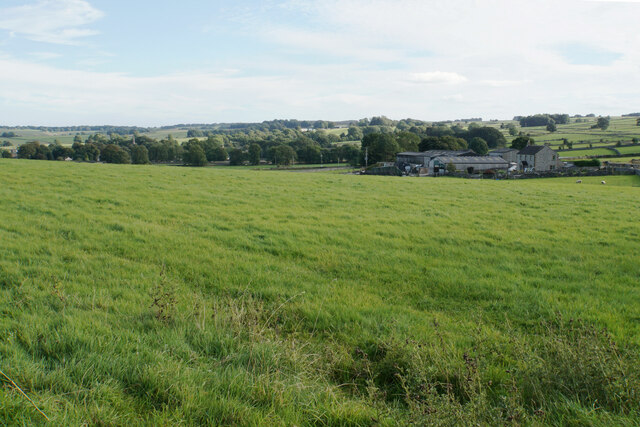
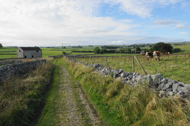
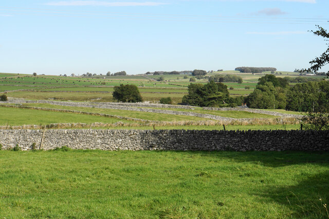
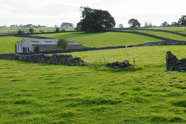
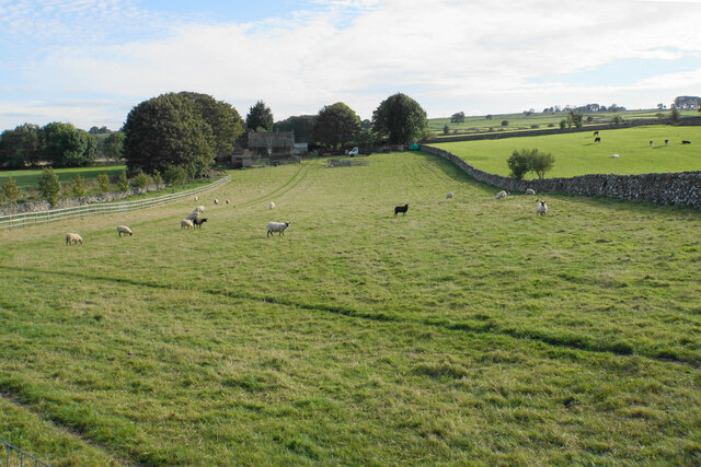
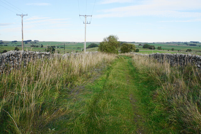
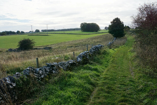
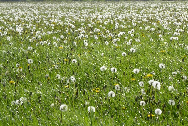
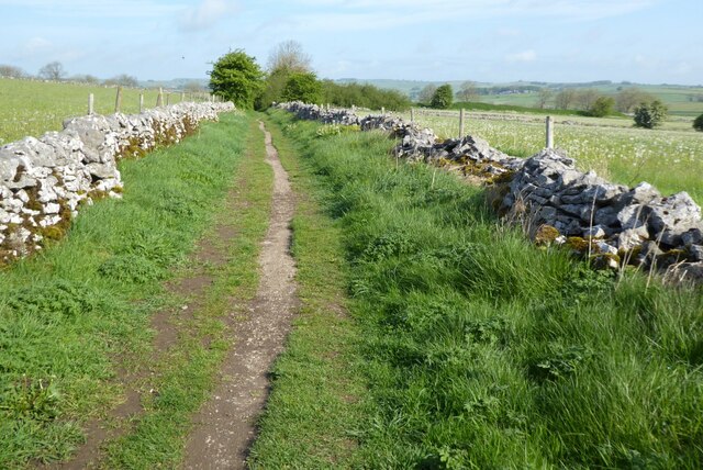
The village is renowned for its idyllic setting, surrounded by rolling green hills, dry-stone walls, and picturesque farmland. Its location within the Peak District National Park also offers stunning natural beauty, making it a popular spot for hikers, cyclists, and nature enthusiasts. The Lathkill Dale, a nearby limestone valley, provides opportunities for scenic walks and exploring unique geological formations.
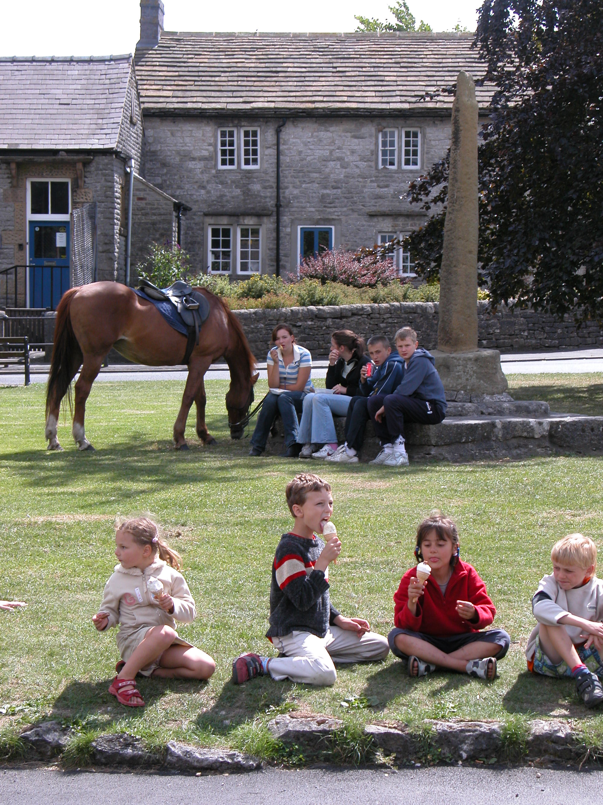
Monyash is home to a 13th-century parish church, St. Leonard's, which stands at the heart of the village and adds to its historic charm. The village also boasts a traditional pub, The Bull's Head, which serves as a gathering place for locals and visitors alike.
Throughout the year, Monyash hosts various events and activities that celebrate its rural heritage, including the Monyash Well Dressing Festival, where locals decorate wells with intricate floral designs. The village also offers facilities such as a village hall, a playground, and a small shop for basic supplies.
Overall, Monyash offers a peaceful and picturesque retreat for those seeking a quintessential English countryside experience, with its beautiful landscapes, historic buildings, and warm community spirit.
If you have any feedback on the listing, please let us know in the comments section below.
Monyash Images
Images are sourced within 2km of 53.195607/-1.775141 or Grid Reference SK1566. Thanks to Geograph Open Source API. All images are credited.


Monyash is located at Grid Ref: SK1566 (Lat: 53.195607, Lng: -1.775141)
Administrative County: Derbyshire
District: Derbyshire Dales
Police Authority: Derbyshire
What 3 Words
///whisk.widest.mascots. Near Youlgreave, Derbyshire
Nearby Locations
Related Wikis
Monyash
Monyash (/muhn-ee-ash/ munyash) is a village and civil parish in the Peak District, Derbyshire, England, 5 miles (8.0 km) west of the market town Bakewell...
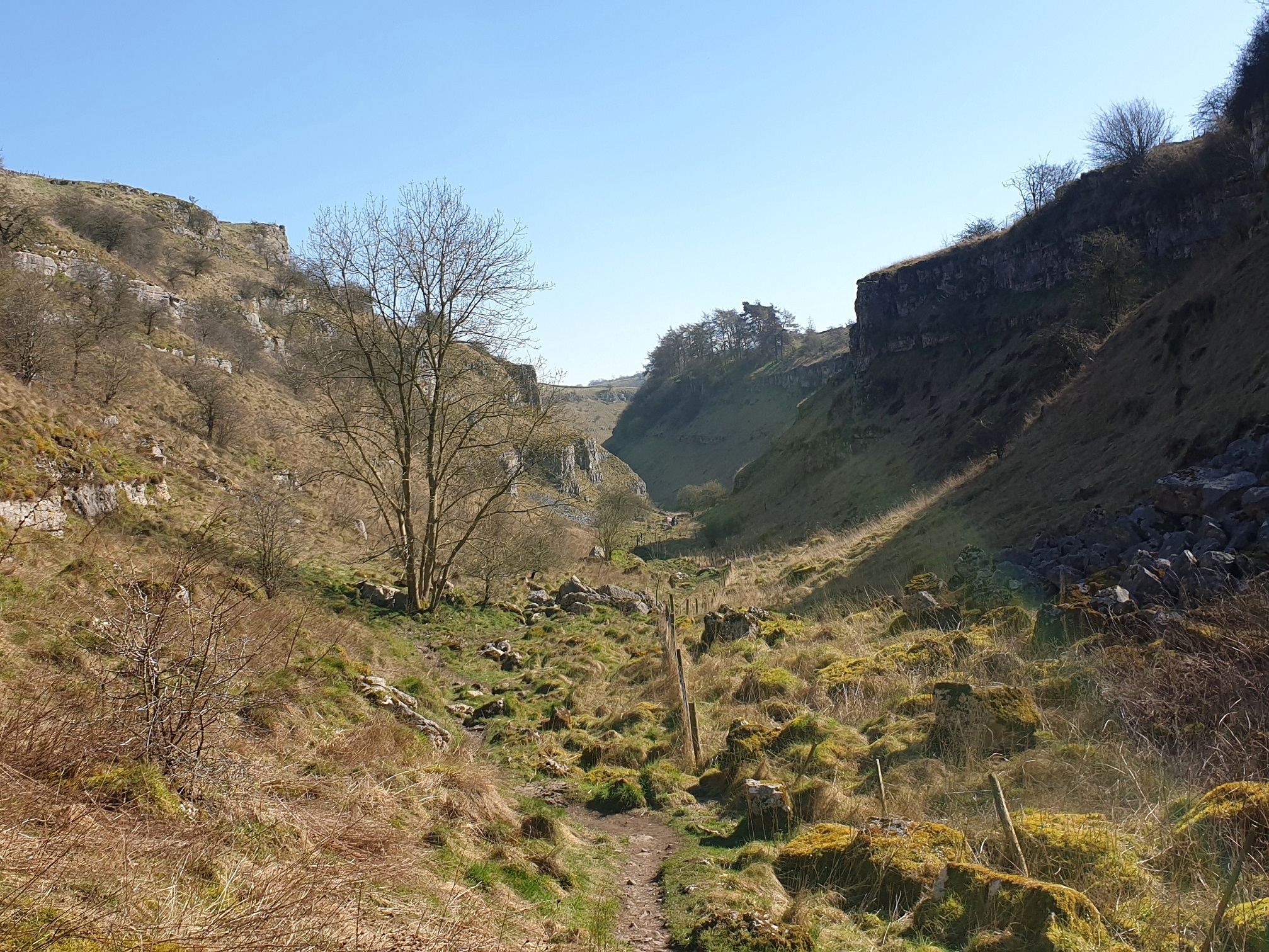
Lathkill Dale
Lathkill Dale is the valley of the River Lathkill near Bakewell, Derbyshire in the Peak District of England. The river emerges into the dale from springs...

White Peak
The White Peak, also known as the Low Peak, is a limestone plateau that forms the central and southern part of the Peak District in England. It is mostly...

Flagg, Derbyshire
Flagg (Old Norse A sod of peat) is a small Peak District village and civil parish, set in the Derbyshire Dales, halfway between the small market town...

Hurdlow railway station
Hurdlow railway station was near to the hamlet of Hurdlow within Hartington Middle Quarter civil parish, to the south east of Buxton, Derbyshire on the...
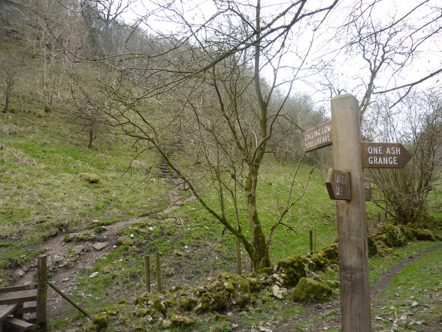
Cales Dale
Cales Dale is a short valley towards the head of Lathkill Dale near Monyash, Derbyshire in the Peak District of England. Cales Dale is included within...

Cromford and High Peak Railway
The Cromford and High Peak Railway (C&HPR) was a standard-gauge line between the Cromford Canal wharf at High Peak Junction and the Peak Forest Canal at...

Limey Way
The Limey Way is a 65-kilometre (40 mi) challenge walk through Derbyshire, England. It starts at Castleton and progresses through 15 major and 5 minor...
Nearby Amenities
Located within 500m of 53.195607,-1.775141Have you been to Monyash?
Leave your review of Monyash below (or comments, questions and feedback).