Sharplow Dale
Valley in Derbyshire Derbyshire Dales
England
Sharplow Dale

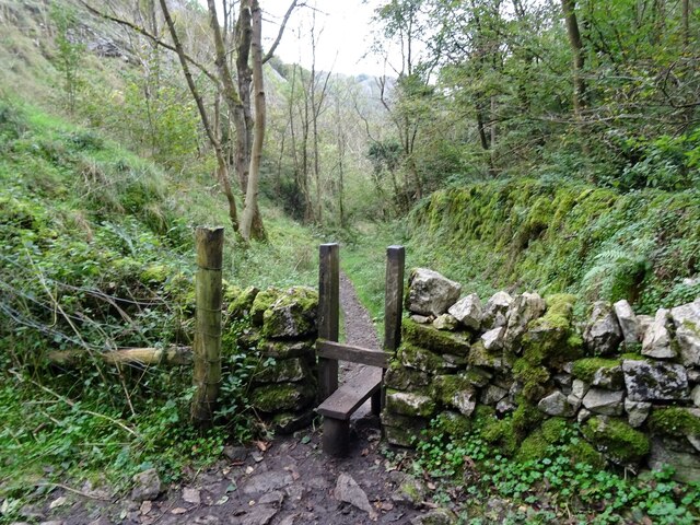
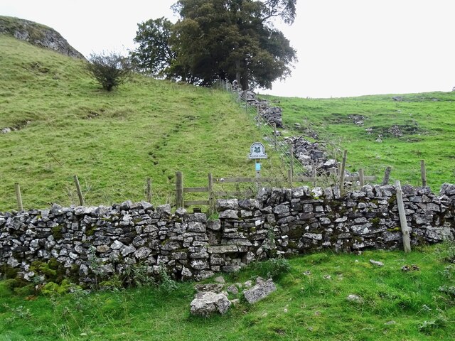
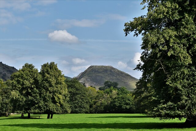
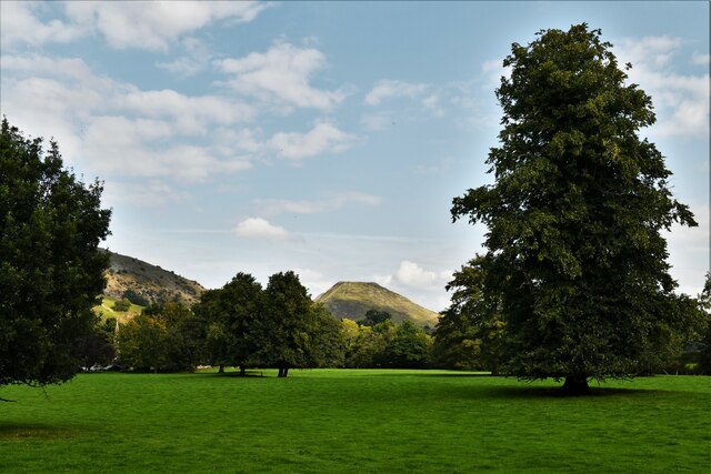
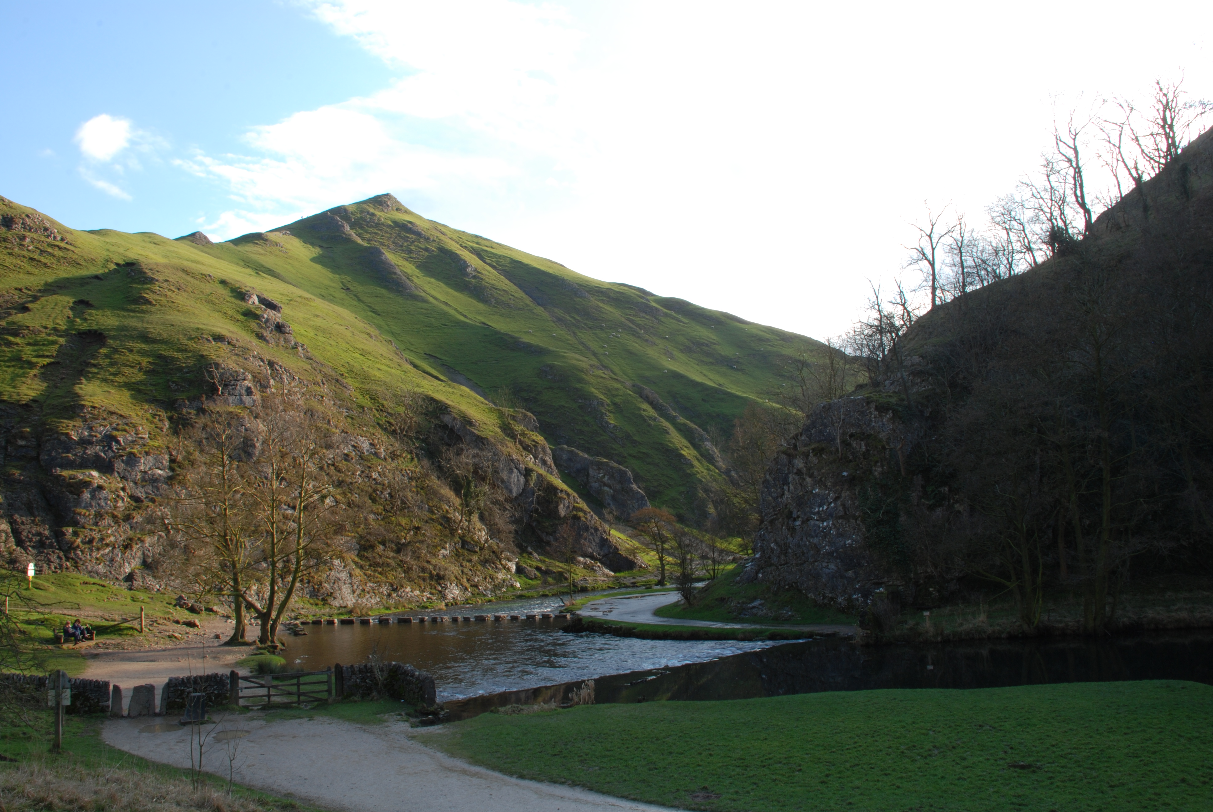
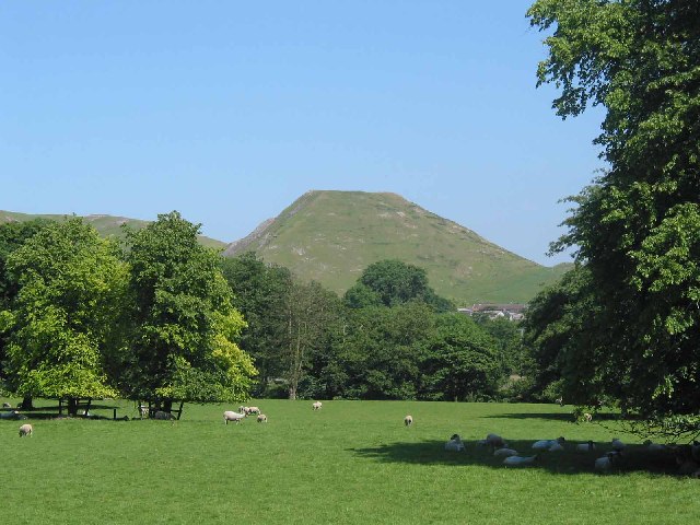
Sharplow Dale is a picturesque valley located in the county of Derbyshire, England. Situated in the heart of the Peak District National Park, it is renowned for its natural beauty and stunning landscapes. The dale stretches for approximately 10 miles and is bordered by rolling hills and limestone cliffs, creating a dramatic and scenic setting.
The valley is home to a diverse range of flora and fauna, with its meadows and woodlands providing habitats for various species. Visitors to Sharplow Dale can expect to see an array of wildflowers, birds, and small mammals, making it a haven for nature enthusiasts and photographers.
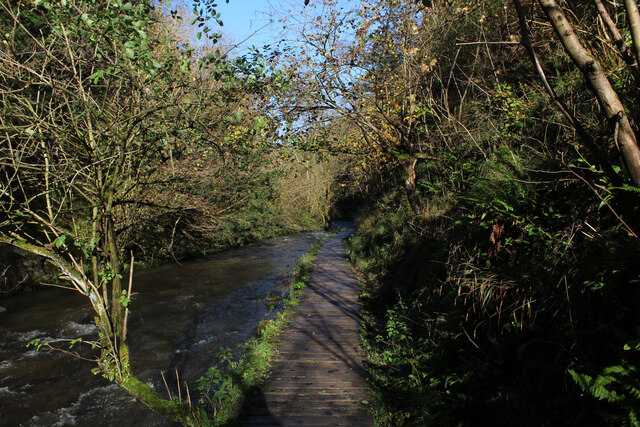
The river Sharplow meanders through the valley, adding to its charm and providing opportunities for recreational activities such as fishing and kayaking. The river is known for its crystal-clear waters, creating a tranquil and idyllic atmosphere.
There are several walking and hiking trails that traverse the valley, offering visitors the chance to explore its hidden gems. From challenging routes that take you to the hilltops for breathtaking views, to more leisurely strolls along the riverbanks, Sharplow Dale caters to all levels of outdoor enthusiasts.
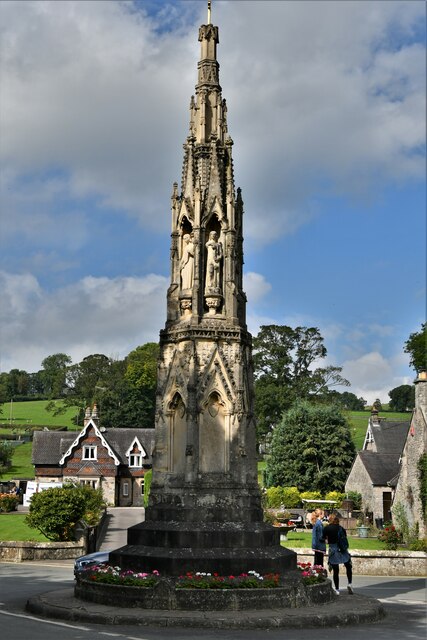
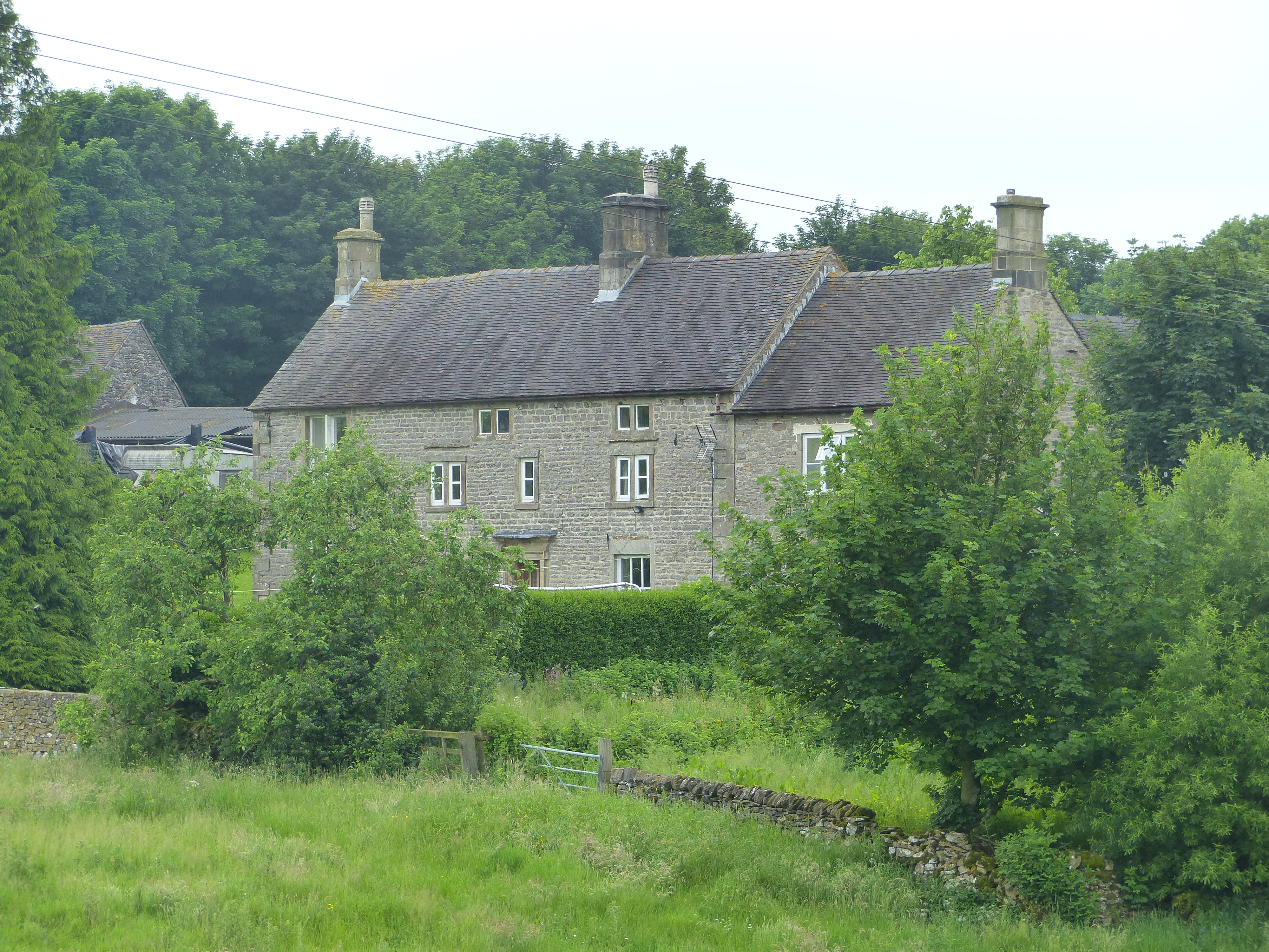
The valley is also home to a few small villages, where visitors can find charming cottages, local pubs, and tea rooms. These provide a welcome respite for tired walkers, offering delicious home-cooked meals and a warm, friendly atmosphere.
Overall, Sharplow Dale is a must-visit destination for those seeking natural beauty, outdoor activities, and a taste of rural English charm.
If you have any feedback on the listing, please let us know in the comments section below.
Sharplow Dale Images
Images are sourced within 2km of 53.067952/-1.7802355 or Grid Reference SK1452. Thanks to Geograph Open Source API. All images are credited.


Sharplow Dale is located at Grid Ref: SK1452 (Lat: 53.067952, Lng: -1.7802355)
Administrative County: Derbyshire
District: Derbyshire Dales
Police Authority: Derbyshire
What 3 Words
///guideline.wings.will. Near Ashbourne, Derbyshire
Nearby Locations
Related Wikis
Dovedale
Dovedale is a valley in the Peak District of England. The land is owned by the National Trust and attracts a million visitors annually. The valley was...
Thorpe Cloud
Thorpe Cloud is an isolated limestone hill (a reef knoll) lying between the villages of Thorpe and Ilam on the Derbyshire/Staffordshire border at the southern...
Newton Grange, Derbyshire
Newton Grange is a civil parish in the Derbyshire Dales district of central Derbyshire. For administrative purposes it shares a parish council with the...

River Manifold
The River Manifold is a river in Staffordshire, England. It is a tributary of the River Dove (which also flows through the Peak District, forming the boundary...
Thorpe, Derbyshire
Thorpe is a village and civil parish in the English county of Derbyshire; it is on the Derbyshire/Staffordshire border, on the east bank of the River Dove...

Ashbourne line
The Ashbourne line was a 33+1⁄2 mi (53.9 km) railway from Buxton via Ashbourne to Uttoxeter. It was built by the London and North Western Railway using...

Ilam Park
Ilam Park is a 158-acre (0.64 km2) country park situated in Ilam, on both banks of the River Manifold five miles (8 km) north west of Ashbourne, England...
White Peak Estate
The White Peak Estate (previously known as the South Peak Estate) of the National Trust comprises several land holdings in the Southern Peak District....
Nearby Amenities
Located within 500m of 53.067952,-1.7802355Have you been to Sharplow Dale?
Leave your review of Sharplow Dale below (or comments, questions and feedback).