Dove Dale
Valley in Staffordshire Staffordshire Moorlands
England
Dove Dale

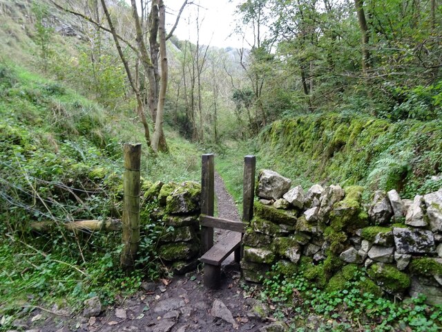
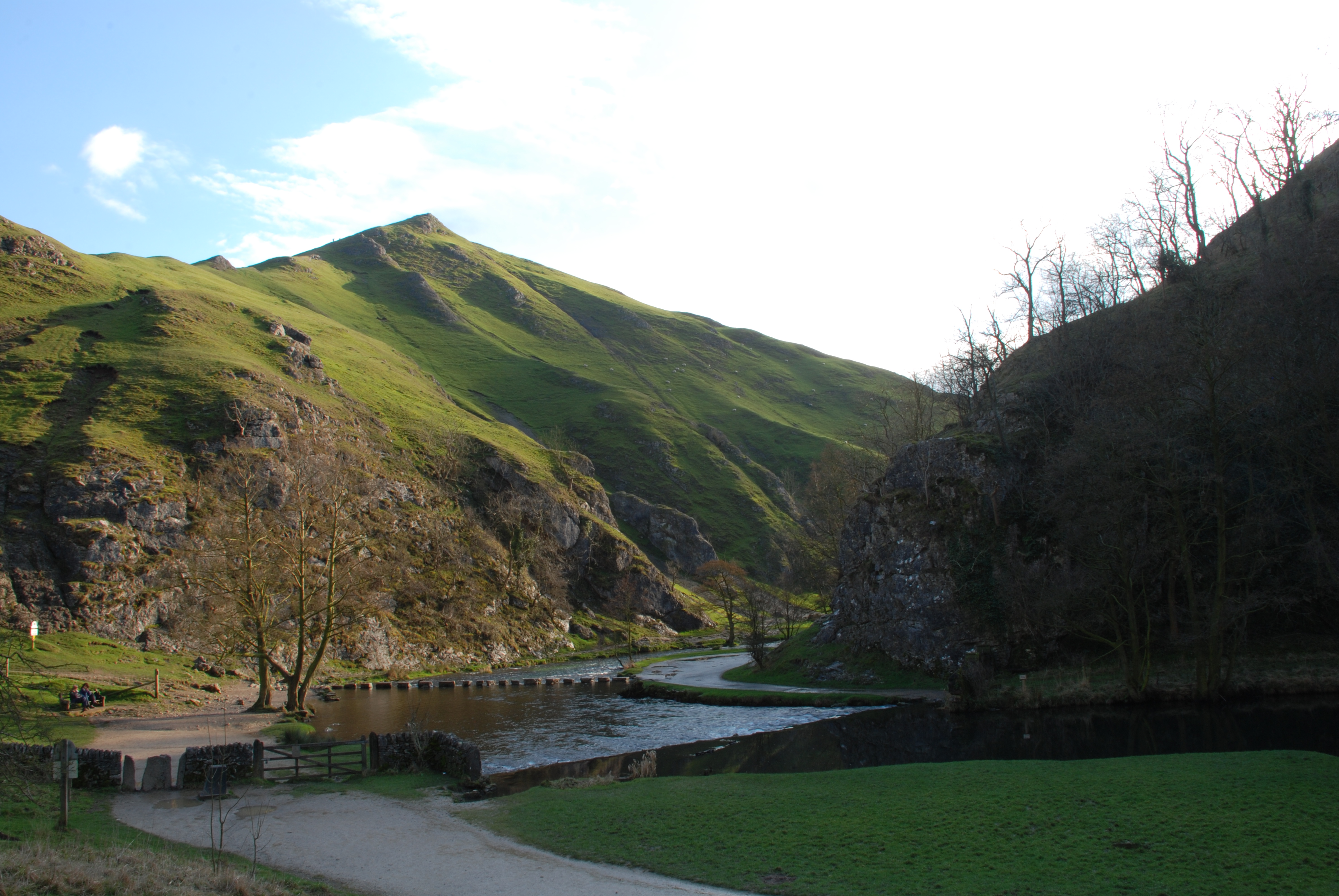
Dovedale is a picturesque valley located in Staffordshire, England. This iconic landmark is renowned for its natural beauty and is a popular destination for nature lovers and outdoor enthusiasts. The valley is carved by the River Dove, which meanders through the lush green landscape, creating a serene and tranquil atmosphere.
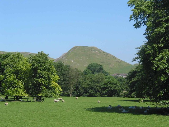
One of the main attractions of Dovedale is its stunning limestone rock formations, which dominate the scenery. The most famous of these formations is the Dovedale Stepping Stones, a series of large stepping stones that allow visitors to cross the river and explore the valley further. These stones provide a unique and exciting experience, especially during times of high water flow when the river is more challenging to navigate.
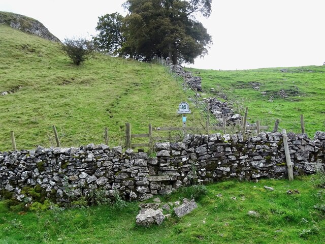
Dovedale offers a range of activities for visitors to enjoy. Hiking is a popular choice, with several well-marked trails winding through the valley, offering breathtaking views of the surrounding countryside. The valley is also home to an abundance of wildlife, including numerous species of birds, making it a haven for birdwatchers. Additionally, the clear waters of the River Dove attract fishing enthusiasts, who can try their luck at catching brown trout and grayling.
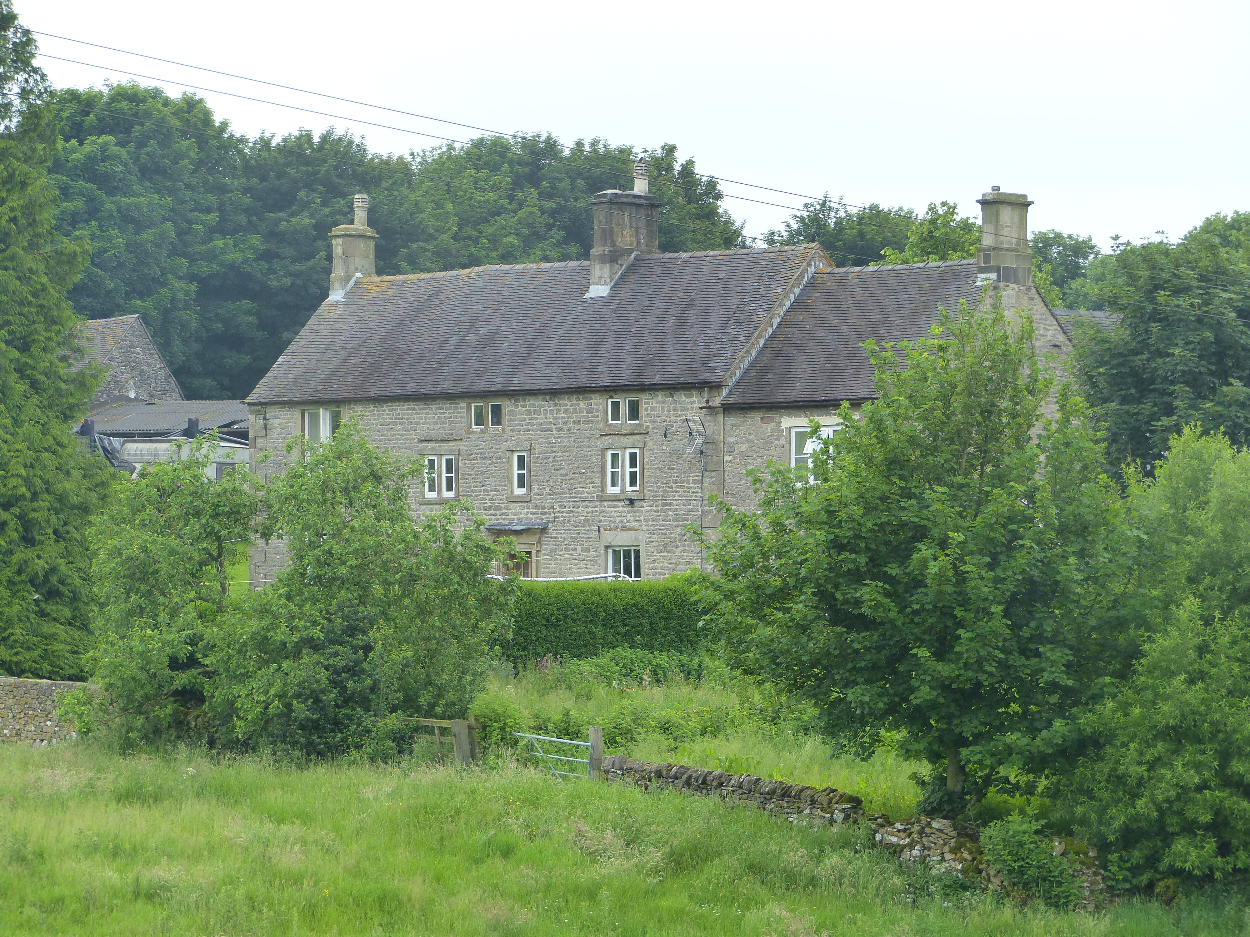
The valley is also steeped in history, with several notable landmarks to explore. The most prominent is the Ilam Park, a charming country estate that houses a 19th-century mansion and beautifully landscaped gardens. The estate offers guided tours and hosts various events throughout the year, making it an excellent place to learn about the cultural heritage of the area.
Overall, Dovedale is a breathtaking destination that offers a perfect blend of natural beauty, outdoor activities, and historical charm. Whether you're seeking an adventurous hike, a peaceful picnic spot, or simply a place to unwind amidst stunning scenery, Dovedale has something to offer everyone.
If you have any feedback on the listing, please let us know in the comments section below.
Dove Dale Images
Images are sourced within 2km of 53.067135/-1.7853286 or Grid Reference SK1452. Thanks to Geograph Open Source API. All images are credited.


Dove Dale is located at Grid Ref: SK1452 (Lat: 53.067135, Lng: -1.7853286)
Administrative County: Staffordshire
District: Staffordshire Moorlands
Police Authority: Staffordshire
What 3 Words
///bridges.offshore.whirlpool. Near Ashbourne, Derbyshire
Nearby Locations
Related Wikis
Dovedale
Dovedale is a valley in the Peak District of England. The land is owned by the National Trust and attracts a million visitors annually. The valley was...
Thorpe Cloud
Thorpe Cloud is an isolated limestone hill (a reef knoll) lying between the villages of Thorpe and Ilam on the Derbyshire/Staffordshire border at the southern...

River Manifold
The River Manifold is a river in Staffordshire, England. It is a tributary of the River Dove (which also flows through the Peak District, forming the boundary...

Ilam Park
Ilam Park is a 158-acre (0.64 km2) country park situated in Ilam, on both banks of the River Manifold five miles (8 km) north west of Ashbourne, England...

White Peak Estate
The White Peak Estate (previously known as the South Peak Estate) of the National Trust comprises several land holdings in the Southern Peak District....

Ilam, Staffordshire
Ilam ( ) is a village in the Staffordshire Peak District of England, lying on the River Manifold. The population of the civil parish as taken at the 2011...
Newton Grange, Derbyshire
Newton Grange is a civil parish in the Derbyshire Dales district of central Derbyshire. For administrative purposes it shares a parish council with the...
Thorpe, Derbyshire
Thorpe is a village and civil parish in the English county of Derbyshire; it is on the Derbyshire/Staffordshire border, on the east bank of the River Dove...
Nearby Amenities
Located within 500m of 53.067135,-1.7853286Have you been to Dove Dale?
Leave your review of Dove Dale below (or comments, questions and feedback).