Ditch Clough

Valley in Derbyshire High Peak

England

Ditch Clough

Below Ridge Wood A side tongue of Howden Reservoir
Below Ridge Wood Credit: Neil Theasby

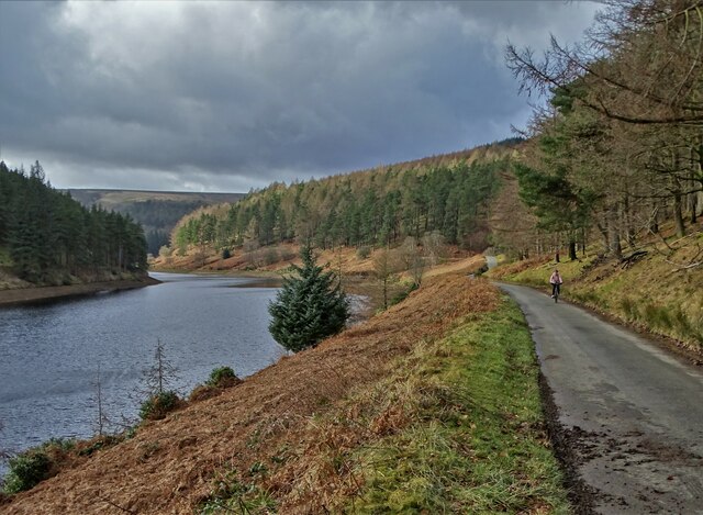
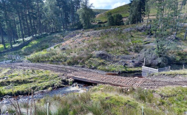
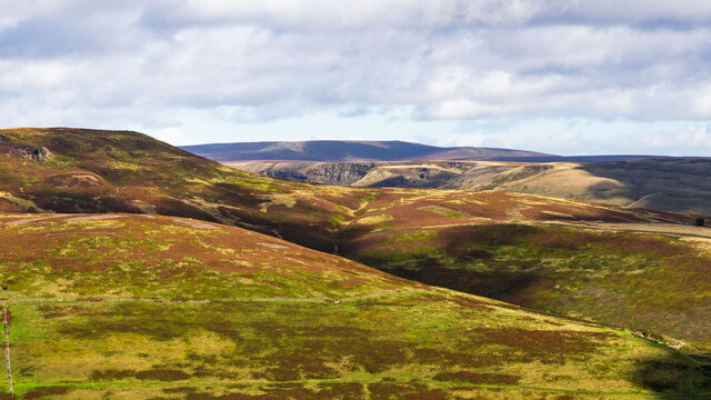
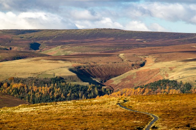
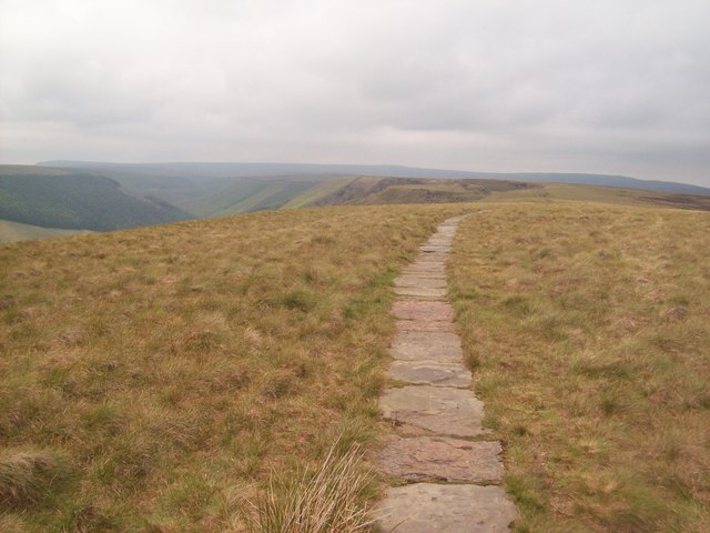
Ditch Clough is a picturesque valley located in the county of Derbyshire, England. Nestled in the heart of the Peak District National Park, it is renowned for its stunning natural beauty and tranquil atmosphere. The valley is situated approximately 6 miles northeast of the town of Glossop and is easily accessible by both road and footpaths.

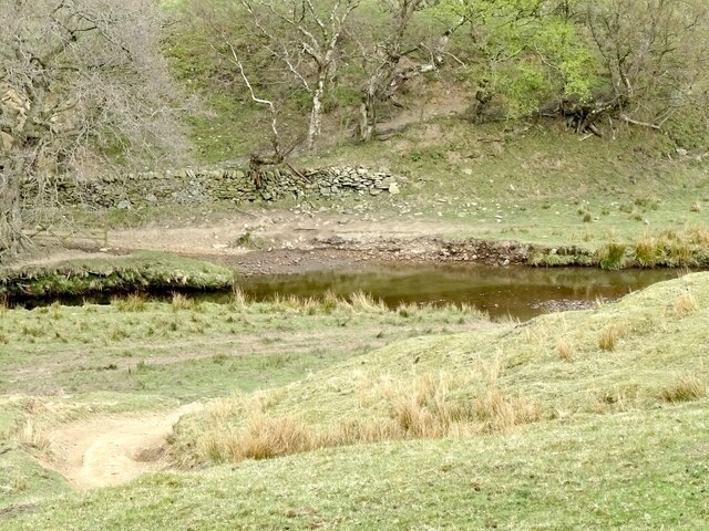
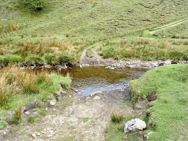
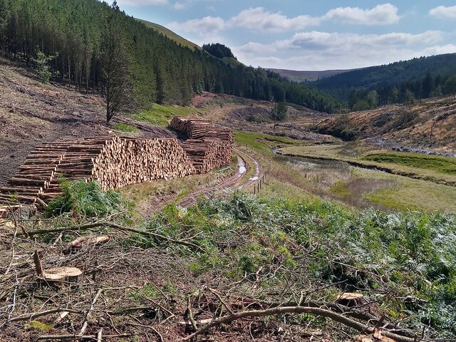
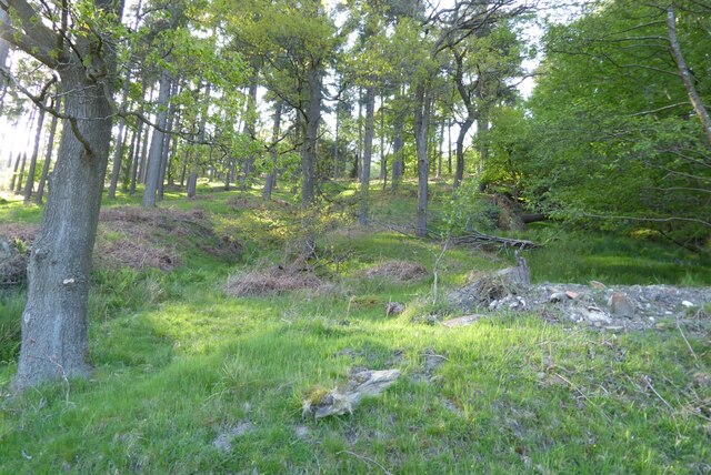
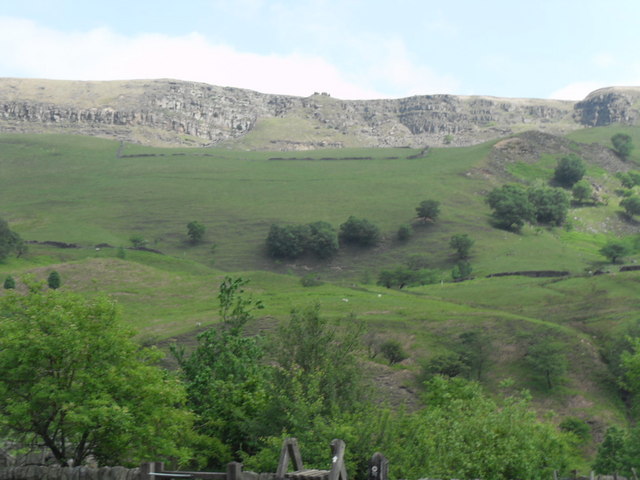
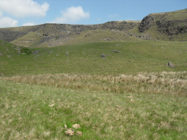
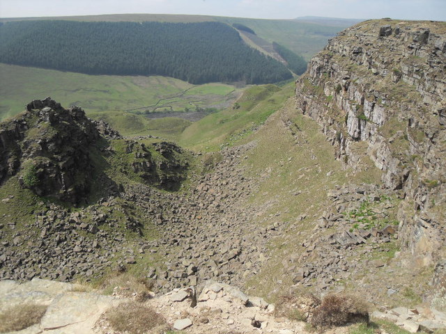
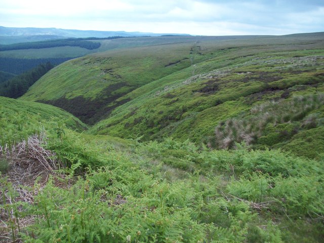
The Clough, which is an old English term for a steep-sided valley, is carved by the Ditch Clough Brook, a small river that meanders through the landscape. Lush green meadows, dense woodlands, and rocky outcrops define the valley's topography, creating a diverse and visually stunning environment.

The area is a haven for wildlife enthusiasts, with a variety of plant and animal species thriving in the valley. Rare birds such as peregrine falcons, curlews, and red grouse can be spotted soaring overhead, while the woodlands are home to red deer, foxes, and badgers.

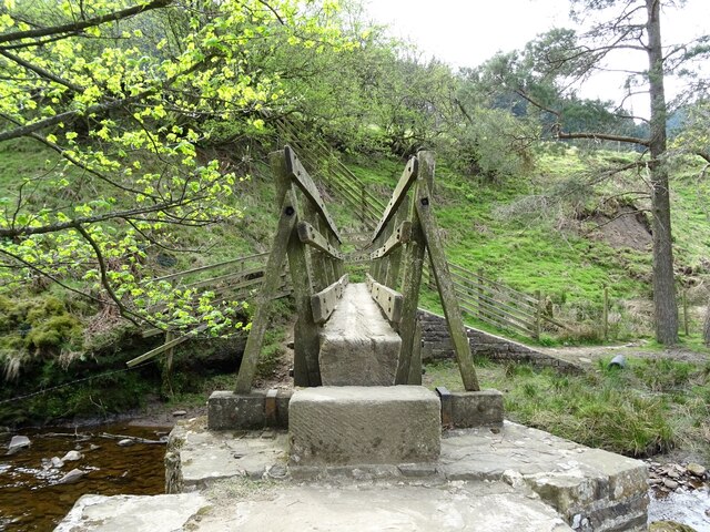
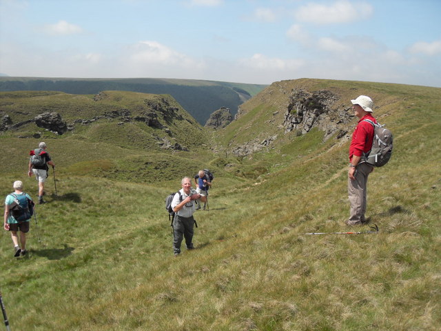
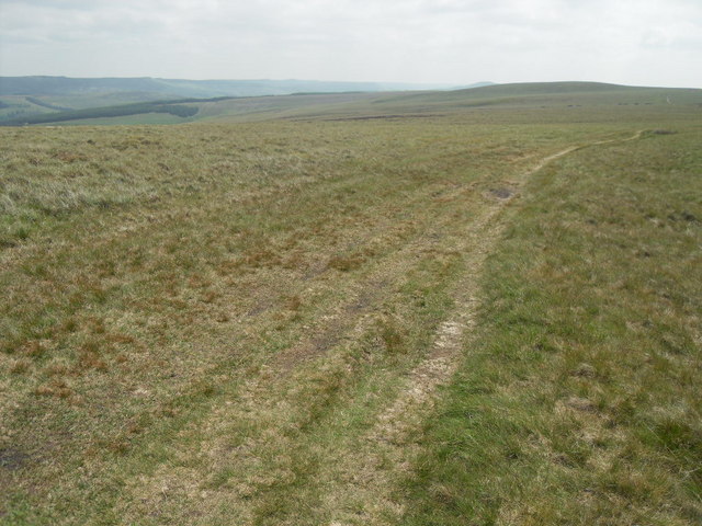
Ditch Clough also offers numerous recreational activities for outdoor enthusiasts. Hiking and walking trails crisscross the valley, providing breathtaking views of the surrounding countryside. The area is particularly popular with rock climbers, as the imposing gritstone cliffs offer challenging routes for climbers of all skill levels.

In addition to its natural beauty, Ditch Clough is steeped in history. The valley has evidence of human habitation dating back to the Bronze Age, and several ancient burial mounds can still be seen in the area.

Overall, Ditch Clough in Derbyshire is a captivating destination that offers a unique blend of natural beauty, wildlife, and historical significance, making it a must-visit location for nature lovers and history buffs alike.

If you have any feedback on the listing, please let us know in the comments section below.

Ditch Clough Images

Images are sourced within 2km of 53.426632/-1.7797768 or Grid Reference SK1492. Thanks to Geograph Open Source API. All images are credited.

Below Ridge Wood A side tongue of Howden Reservoir
Below Ridge Wood
A side tongue of Howden Reservoir
Ford crossing the River Alport
Footbridge over the River Alport
Ford crossing the River Alport
Temporary bridge made for logging vehicles An area of mature conifers was clear felled and this bridge was made for access by logging vehicles using some of the cut logs.
Temporary bridge made for logging vehicles
An area of mature conifers was clear felled and this bridge was made for access by logging vehicles using some of the cut logs.
Logging near Derwent Reservoirs Clear felling of mature plantations has occurred while other people have planted trees in many acres of previously open moorland and valley sides.
Logging near Derwent Reservoirs
Clear felling of mature plantations has occurred while other people have planted trees in many acres of previously open moorland and valley sides.
Road and Howden Reservoir Howden Reservoir and the road which is only open on weekdays running along side.
Road and Howden Reservoir
Howden Reservoir and the road which is only open on weekdays running along side.
The Howden Reservoir
Trees below Banktop Plantation Trees below Banktop Plantation above Howden Reservoir.
Trees below Banktop Plantation
Trees below Banktop Plantation above Howden Reservoir.
Alport Castles The distinctive rock outcrops at Alport Castles.  Nether Moor in the foreground and Crookstone Hill in the near middle distance (Crookstone Knoll prominent to the left).
Alport Castles
The distinctive rock outcrops at Alport Castles. Nether Moor in the foreground and Crookstone Hill in the near middle distance (Crookstone Knoll prominent to the left).
Ridge Clough View of <a href="https://www.geograph.org.uk/photo/6545978">SK1693 : Ridge Clough</a>, in the Upper Derwent Valley, seen from <a href="https://www.geograph.org.uk/photo/7649346">SK1991 : Lost Lad</a>.
Ridge Clough
View of SK1693 : Ridge Clough, in the Upper Derwent Valley, seen from SK1991 : Lost Lad.
Slopes below Alport Castles as seen from Alport Farm
Uphill view towards Alport Castles The perspective of this photo is misleading - the uphill gradient is a lot steeper than you may think. The very unusual shape of the landscape is due to due to mass slippage of rock strata after the most recent ice age about 10,000 years ago.
Uphill view towards Alport Castles
The perspective of this photo is misleading - the uphill gradient is a lot steeper than you may think. The very unusual shape of the landscape is due to due to mass slippage of rock strata after the most recent ice age about 10,000 years ago.
Alport Castles
Alport Castles
Southeast from Alport Castles towards Rowlee Pasture The gently sloping gradients to the east and southeast contrast with the precipitous drops to the West of Alport Castles.
Southeast from Alport Castles towards Rowlee Pasture
The gently sloping gradients to the east and southeast contrast with the precipitous drops to the West of Alport Castles.
Sheer drops on the northern side of Alport Castles Alport Valley Plantations can be seen on the opposite side of the valley.
Sheer drops on the northern side of Alport Castles
Alport Valley Plantations can be seen on the opposite side of the valley.
Paved Footpath over Rowlee Pasture Footpath close to the high point of this area with the gaping Alport valley visible on the left of picture.
Paved Footpath over Rowlee Pasture
Footpath close to the high point of this area with the gaping Alport valley visible on the left of picture.
The Upper Reaches of Ouzelden Clough Access land to the east of Alport Castles.
The Upper Reaches of Ouzelden Clough
Access land to the east of Alport Castles.
Show me another place!

Ditch Clough is located at Grid Ref: SK1492 (Lat: 53.426632, Lng: -1.7797768)

Administrative County: Derbyshire

District: High Peak

Police Authority: Derbyshire

What 3 Words

///notion.hammocks.packages. Near High Peak, Derbyshire

Related Wikis

Alport Castles

The Alport Castles are a landslip feature in the Peak District National Park in Derbyshire. At over half a mile long, it is thought to be the largest landslide...

Howden Reservoir

The Howden Reservoir is a Y-shaped reservoir, the uppermost of the three in the Upper Derwent Valley, England. The western half of the reservoir lies in...

River Westend

The River Westend flows through the Dark Peak of the Derbyshire Peak District in England. Its source is at Bleaklow Stones on Bleaklow, from where it...

River Alport

The River Alport flows for 5.6 miles (9 km) in the Dark Peak of the Peak District in Derbyshire, England. Its source is on Bleaklow, 3 miles (4.8 km)...

Nearby Amenities

Located within 500m of 53.426632,-1.7797768
Birchinlee Pasture
Place: locality
Source: Bing
Lat/Long: 53.4223859/-1.7814906
Green Clough
Place: locality
Source: Bing
Lat/Long: 53.4243596/-1.7760738
The data included in this document is from www.openstreetmap.org. The data is made available under ODbL.

Have you been to Ditch Clough?

Leave your review of Ditch Clough below (or comments, questions and feedback).